-
-
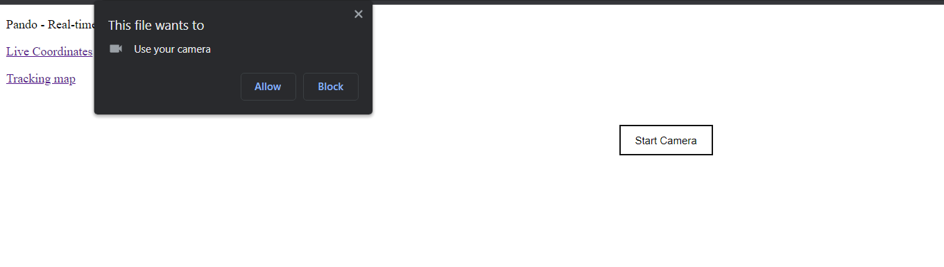
live camera
-
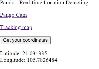
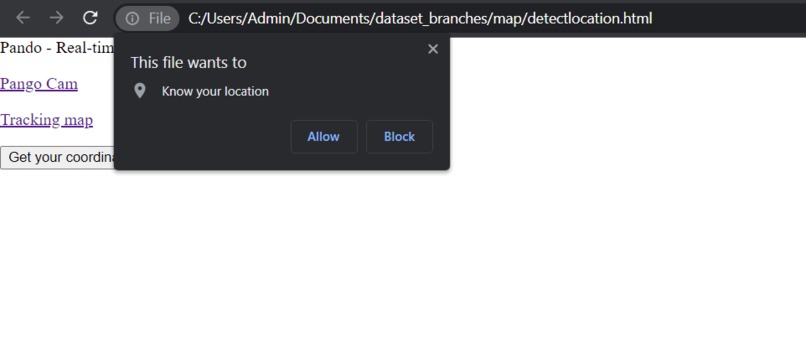
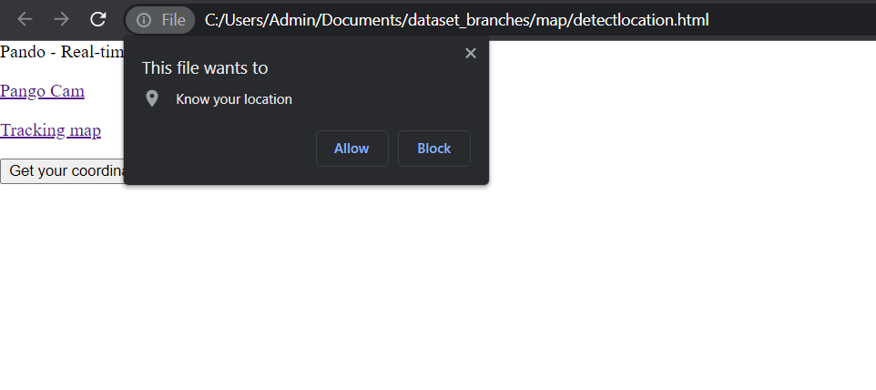
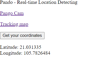
generate live coordinates
-
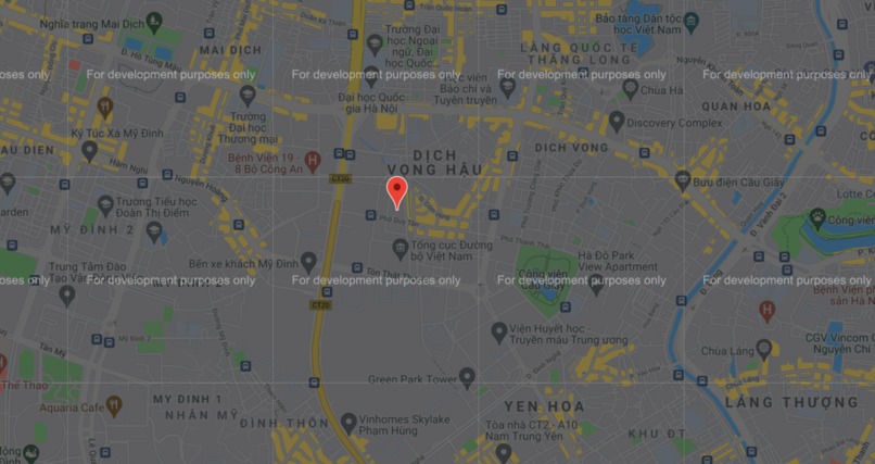
maps with marker on the previous generated coordinates
-
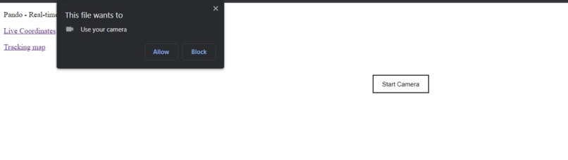
webcam on browser

Inspiration
Many NGOs have done research and investigations into the illegal wildlife trade (IWT) or engaged in counter-wildlife trafficking (CWT) activities. However, due to the lack of a centralized hub or a network liaison, there has not been an effective tool for sharing all the available findings, tools, and materials among the conservation NGOs in Vietnam, resulting in waste of both human and material resources, and risks of losing the community’s trust because of overlapping of activities.
What it does
Pango - an online platform gathering organizations and other organizations as well as individuals to optimize productivity.
How we built it
Project and organization management system - uses CRUD API of Rest Framework Django, although this part is in the code base on github, but the technical side has improvised and wrote a new api to increase the performance of the tool. Data is provided from the parties (because Pango is an intermediary to connect). The data import system provides a full range of common file types, used by Google Apis. Machine Learning: Just a support function from a host platform like Pango, allowing users to connect to an external machine learning model to transport data to and develop Ai like Animal classification Camera or Live Object Webcam, .. Cloud Storage links with Microsoft Azure, Redis, Amazon S3,... The role-based hierarchical security system is an api written by itself according to the permissions and rules of django, preventing bad people from stealing project data.
Challenges we ran into
Build a tool to gather all data, information from previous research, reports, communications, and educational materials relevant to IWT and CWT, (can be GIS (geographic information system) mapping tool), from government agencies, academia, international NGOs, local NGOs, research organizations and freelancers, etc. for the use of conservation NGOs and interested individuals for non-commercial purposes.
Accomplishments that we're proud of
With a direct aim to end wildlife trafficking, we develop a mapping system that enables users to report the offense with simple tasks like taking a picture. Snapping a photo will now be equipped with our real-time location detecting technology. Right after the picture gets uploaded by a user, its location and time will be reported accordingly. All this data will be corporated into google maps. This will help organizations/governments gain insight into the places where crimes happened, which in turn help them better intervene in these wildlife trafficking activities For individual users, they can directly contribute to the act as well as gain more knowledge about the issue.

Log in or sign up for Devpost to join the conversation.