

Inspiration
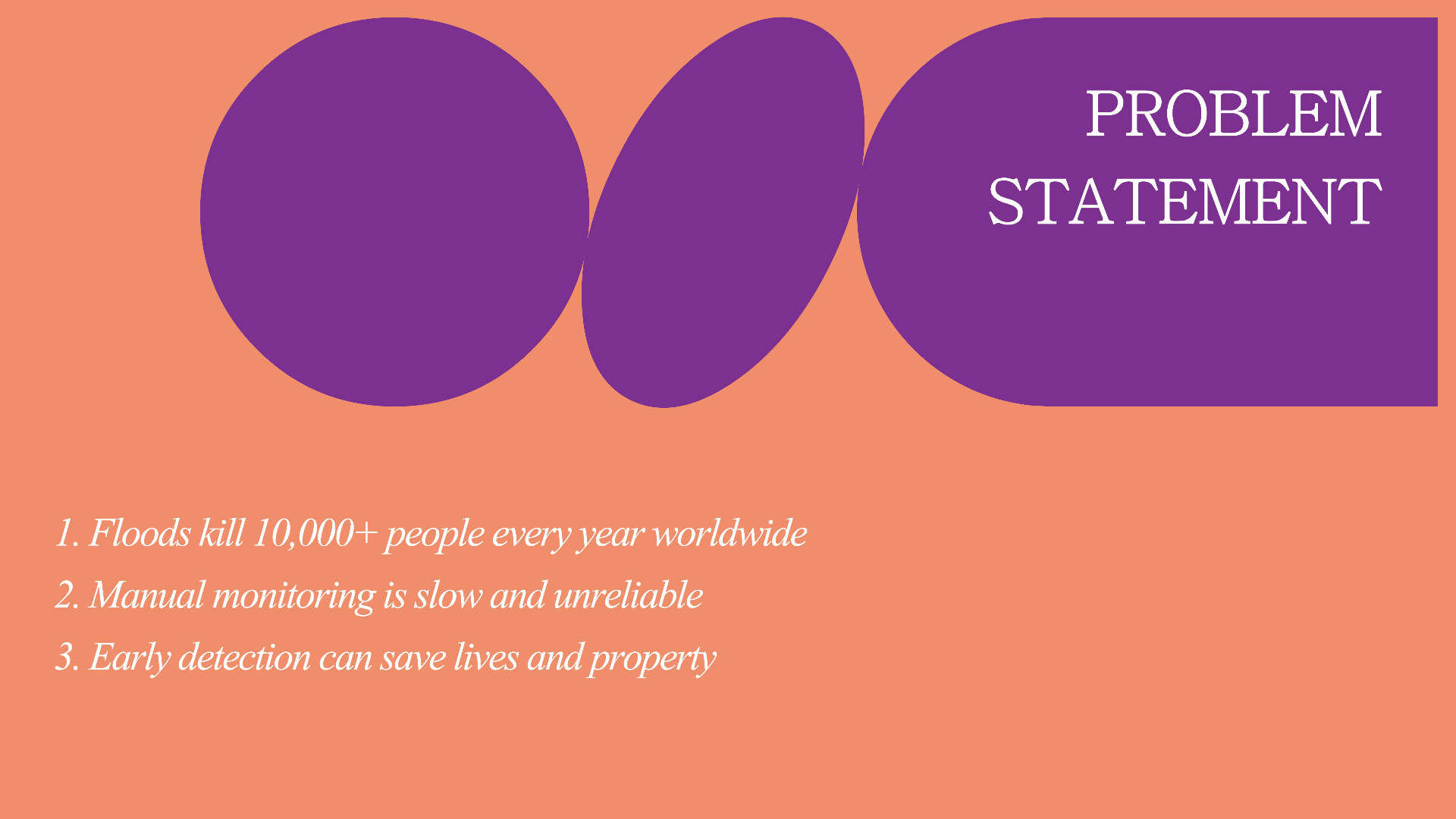
Living in Pakistan, we see how floods destroy communities every year because the response comes too late. I wanted to build something that helps disaster teams move from reacting to predicting. With climate change making floods more frequent, realtime detection isn't a luxury anymore, it's a necessity.
What it does
OrbitIQ is an AI-powered system for real-time flood disaster detection and risk analytics.
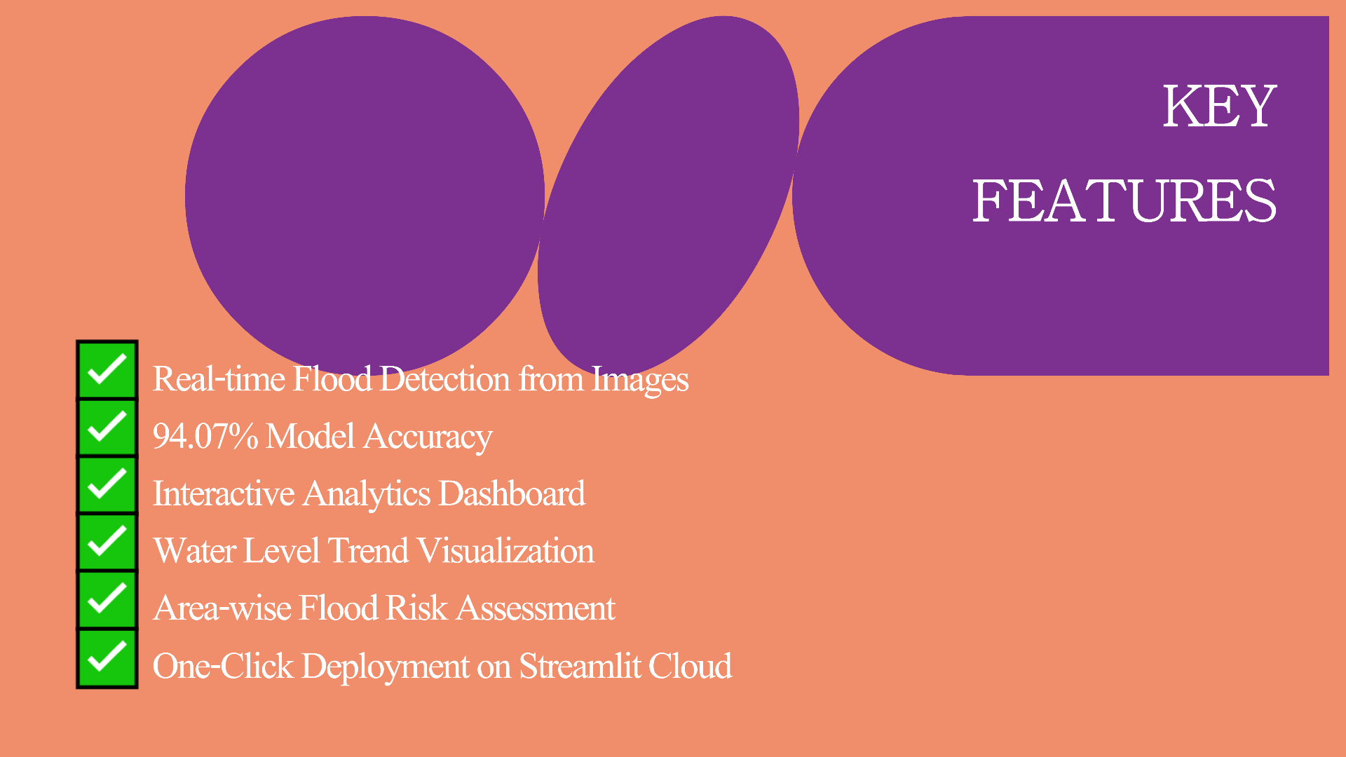
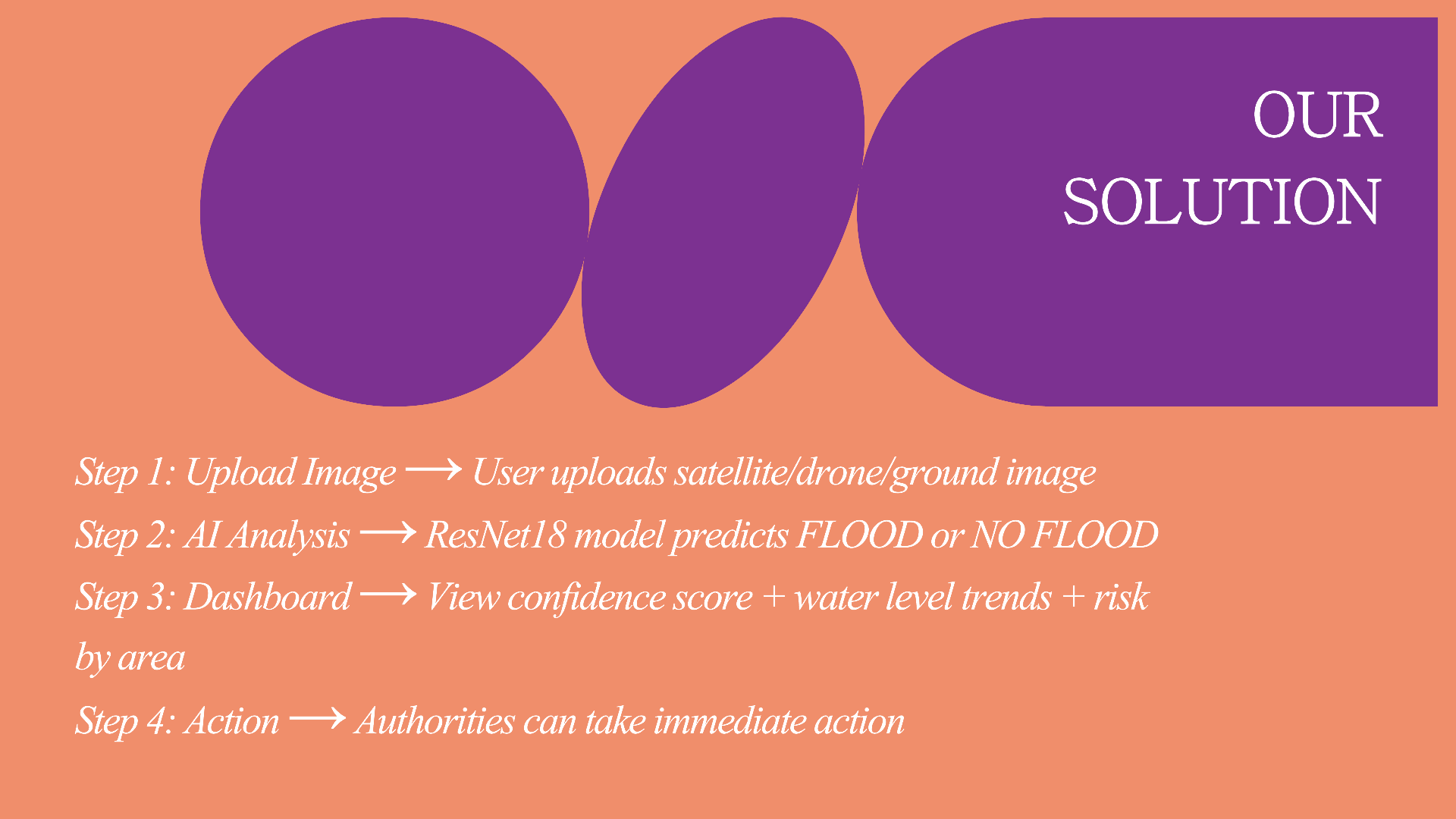
- Detect: Upload any image and the AI instantly classifies if it's a flood or not with 94% accuracy
- Analyze: Live dashboard shows risk levels, location trends, and impact patterns using interactive charts
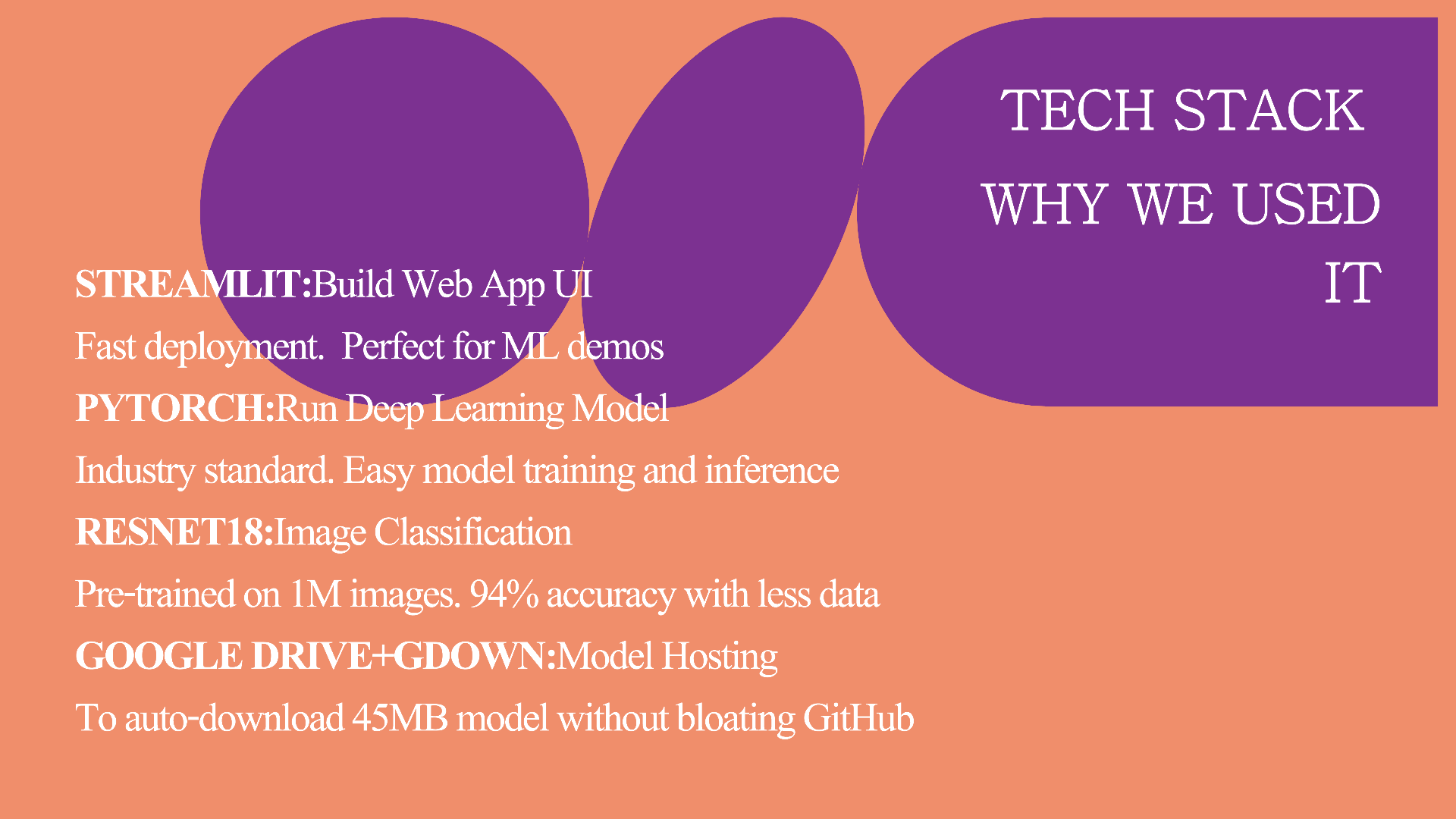
- Act: Provides disaster teams with immediate visual proof to deploy resources faster ## How we built it I built this solo in a full-stack approach: Frontend: Streamlit for a clean, fast web app interface AI Model: PyTorch + ResNet18 for image classification. Trained on flood vs non-flood satellite and ground images Analytics: Plotly for interactive risk visualization and dashboards Deployment: Hosted live on Streamlit Cloud for instant access ## Challenges we ran into
- Data: Finding balanced, high-quality flood datasets was tough. Had to augment and clean data for better accuracy
- Speed vs Accuracy: Making ResNet18 run fast on Streamlit Cloud while keeping 94% accuracy needed optimization
- Solo Dev: Handling UI, model training, and deployment alone within the deadline was intense
Accomplishments that we're proud of
- 94% Accuracy on flood detection with a lightweight ResNet18 model
- End-to-end working product deployed live in under 48 hours as a solo player
What we learned
- Practical AI: How to take a PyTorch model from training to real users via Streamlit
- Focus matters: You don’t need 10 features. One feature done well instant detection saves more time
- Building for impact: Tech is most powerful when it solves real-world problems
What's next for OrbitIQ
- Live Satellite Integration: Connect to realtime satellite feeds instead of manual uploads
- SMS/WhatsApp Alerts: Auto-notify authorities when high-risk floods are detected
- Multi-disaster support: Expand to wildfires, landslides, and urban flooding
- Mobile App: Make it accessible for field teams with low internet
