-
-
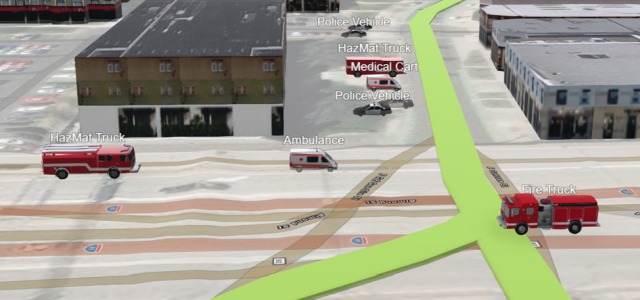
Digital Twin Emergency Response
-
Evacuate this Area
-
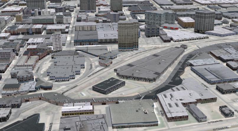
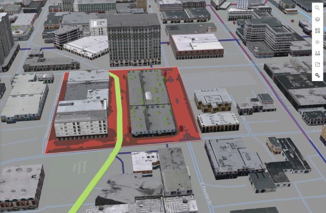
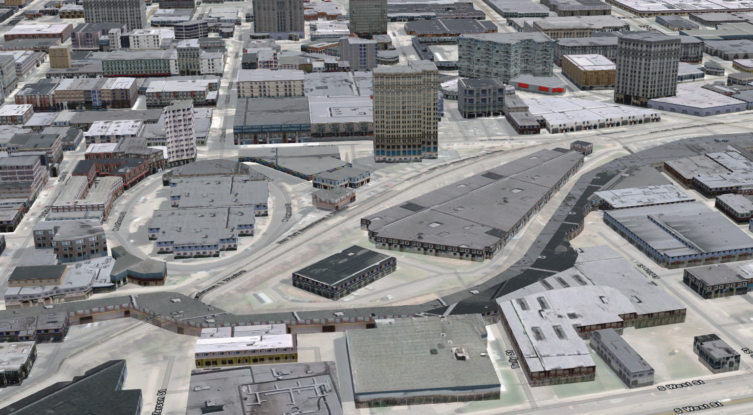
Overview of City


Inspiration
Our mission is to provide a secure, reliable, and efficient application as a service for users to manage digital assets, as well as provide an enhanced experience for users to interact with their digital twins. We provide a platform to leverage open data integrated with dashboards that provide communications, video, drone feeds and Internet of Things Sensors and other technologys that has multiple use cases.
What it does
Combines the city's open data layers with a Digital Twin of the Syracuse area of interest. We used Greater Syracuse Bike Suitability Ratings (2020) and Syracuse Bike Infrastructure open layers as part of our project. We are combining transportation data and public safety in our demonstration.
How we built it
ESRI ArcGIS Pro, City Engine, Experience Builder and 360 VR Experience. And imbedded the digital twin in Blueforce Command. A first responder situation awareness application. We are using our partner companies software in the integrated demonstration we display the Digital Twin in Blueforce Command, a product of Blueforce Development Corporation.
Challenges we ran into
Nothing out of the ordinary.
Accomplishments that we're proud of
We are a team of subject matter experts that worked together at the Emergency Mapping and Data Center at Pier 92 after the events of 9/11/2001 and other national security events over the years.
What we learned
We learned that we were able to provide the data in various formats from desktop to mobile to webapps and virtual reality headsets and apply cloud technology to construct and distribute the applications.
What's next for Open Data Digital Twin
It would be great to apply what we create to a smart city program and grow the usecases into the future.
Built With
- arcgispro
- esri
- opendata

Log in or sign up for Devpost to join the conversation.