-
-

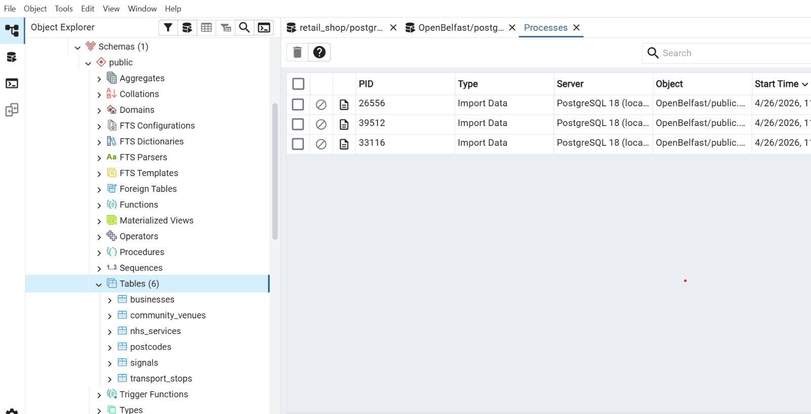
Database
-

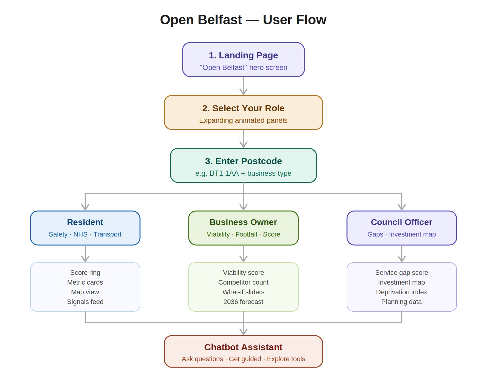
Software Architecture
-
Input
-

Additional Feature
-

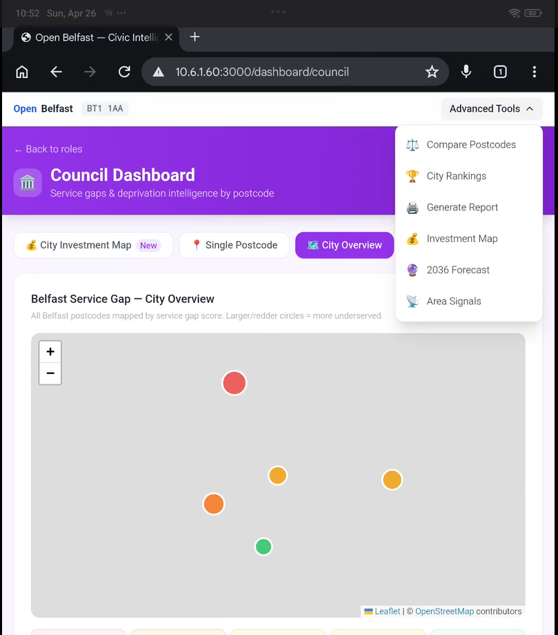
Dashboard
-
Statistical Analysis
-
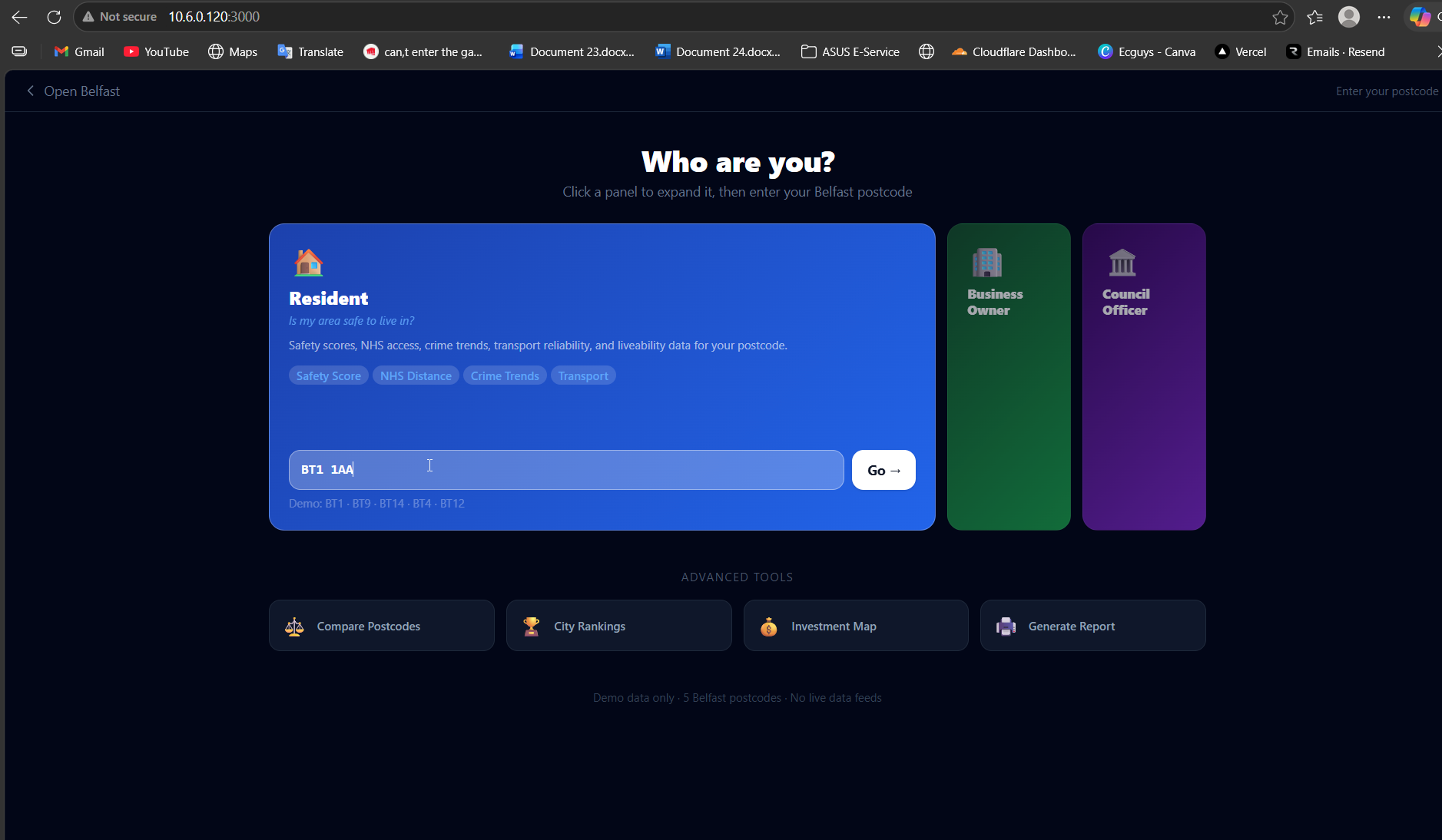
Landing Page
-
Statistical analysis

Inspiration
Citizens are data-blind Belfast's civic data crime statistics, HSC access, deprivation indices, planning applications, transport reliability exists across dozens of disconnected government portals. Residents, business owners, and council officers have no unified way to understand what any given postcode really looks like.
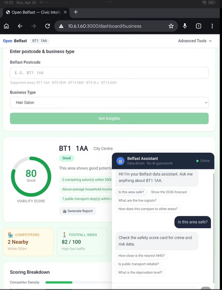
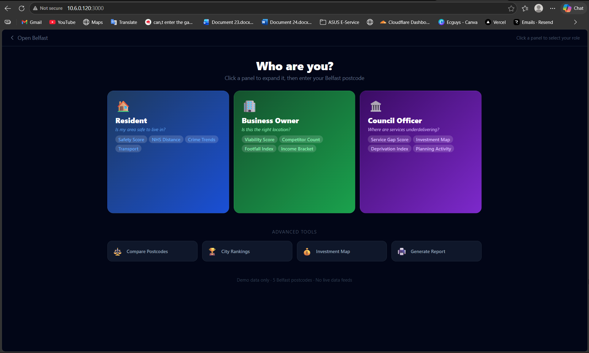
• Residents: Can't compare neighbourhood safety, helping them to move the best place thus reducing braindrain. • Business owners have no data-driven viability tool • Council officers lack a single investment-priority view
What it does
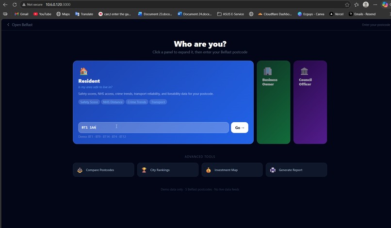
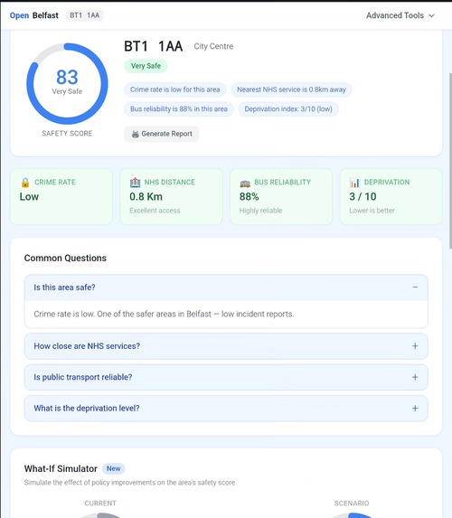
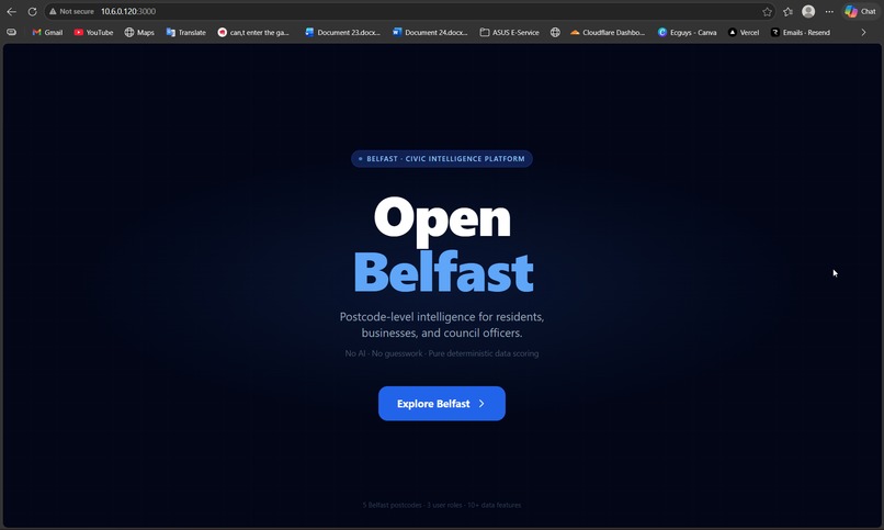
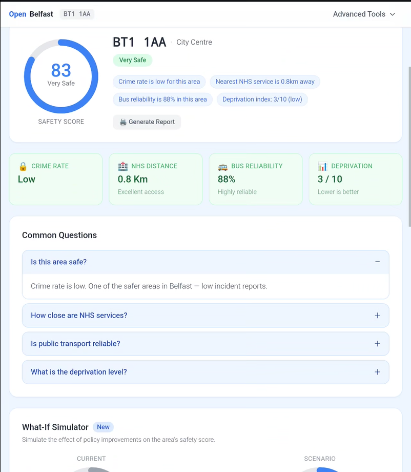
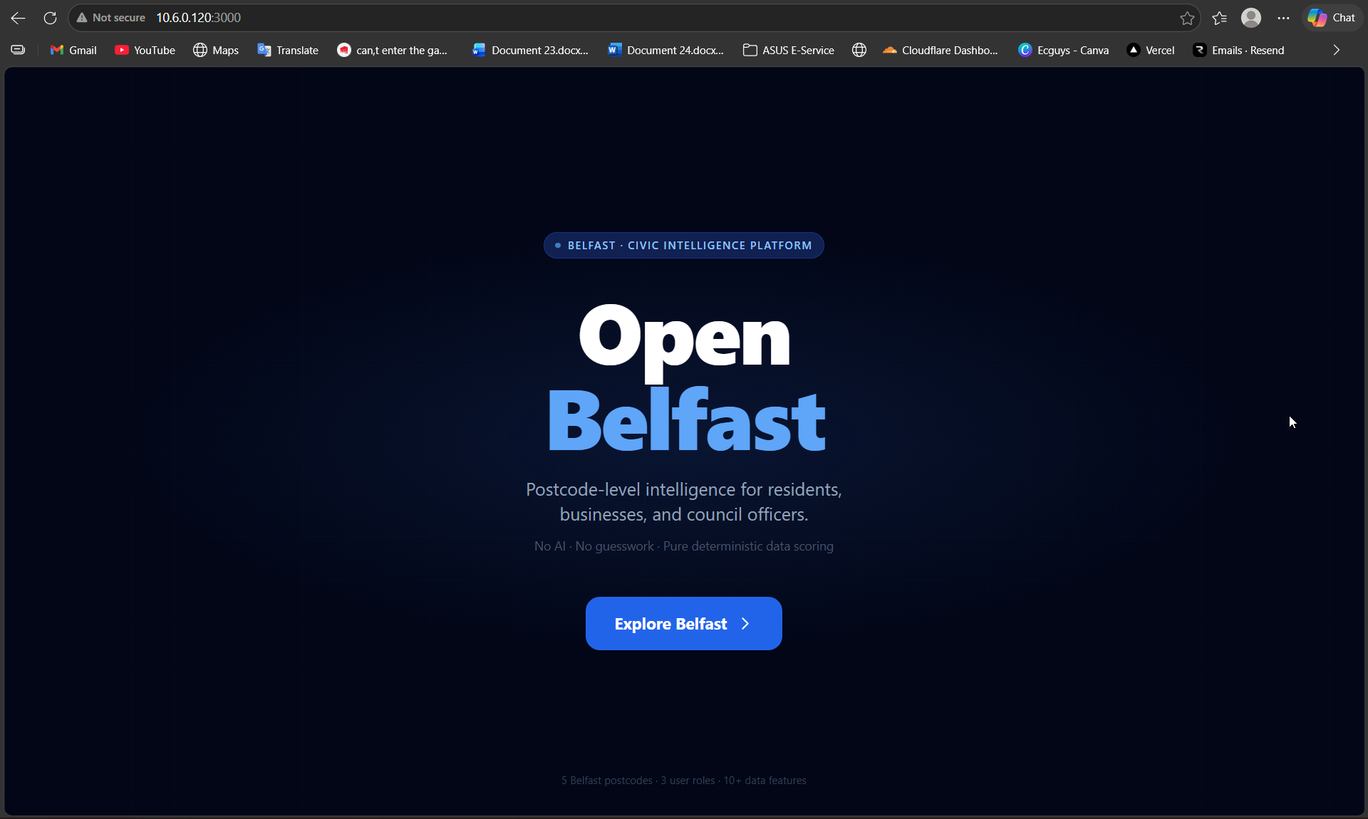
OUR SOLUTION One postcode. Instant intelligence. Open Belfast breaks down data silos across council departments, helping citizens and businesses make smarter, faster decisions that compound into significant economic gains. Over time, it reveals hidden opportunities, attracting talent back to the city and reversing the brain drain. With years of data, Belfast City Council begins allocating resources based on evidence, transforming public spending and city governance. Ultimately, Belfast evolves into a global model for bottom up smart cities, exporting its approach to other post industrial, post conflict regions. Enter a Belfast postcode, select your role, get a complete picture: weighted scores, maps, forecasts, community signals, and a print-ready PDF report. 🏠 Resident 🏢 Business 🏛️ Council
How we built it
DATA SOURCES The following postcode data was obtained from publicly available open data sources. Fields currently available for Belfast postcodes BT1–BT5 (limited coverage; full BT1–BT10 expansion planned). TECHNOLOGY STACK • Frontend: Next.js 14 App Router + TypeScript • Styling: Tailwind CSS + shadcn/ui • Maps: Leaflet.js (SSR-safe dynamic import) • Backend: FastAPI (Python) + Pydantic v2 • Scoring: Deterministic weighted formulas, no AI/LLM • Database: PostgreSQL • Deploy: Vercel (frontend) + Railway (backend)
Challenges we ran into
Normalizing the data
Accomplishments that we're proud of
we transformed raw public data into something usable
Took data from different fields that were sitting in open government websites for years Converted lat/long, postcode mapping Cleaned messy datasets (missing values, inconsistent categories)
What we learned
Built a civic intelligence platform that transforms publicly available datasets (crime, deprivation, healthcare, and transport) into postcode-level insights. The system integrates data from multiple government sources and generates role specific recommendations for residents, business owners, and council officials. Developed a scoring mechanism to quantify safety, accessibility, and business viability, enabling data-driven decision-making rather than raw data interpretation.
What's next for Open Belfast
Bringing more data, using other field data, adding additional features
Built With
- fastapi
- nextjs
- postgresql

Log in or sign up for Devpost to join the conversation.