Inspiration
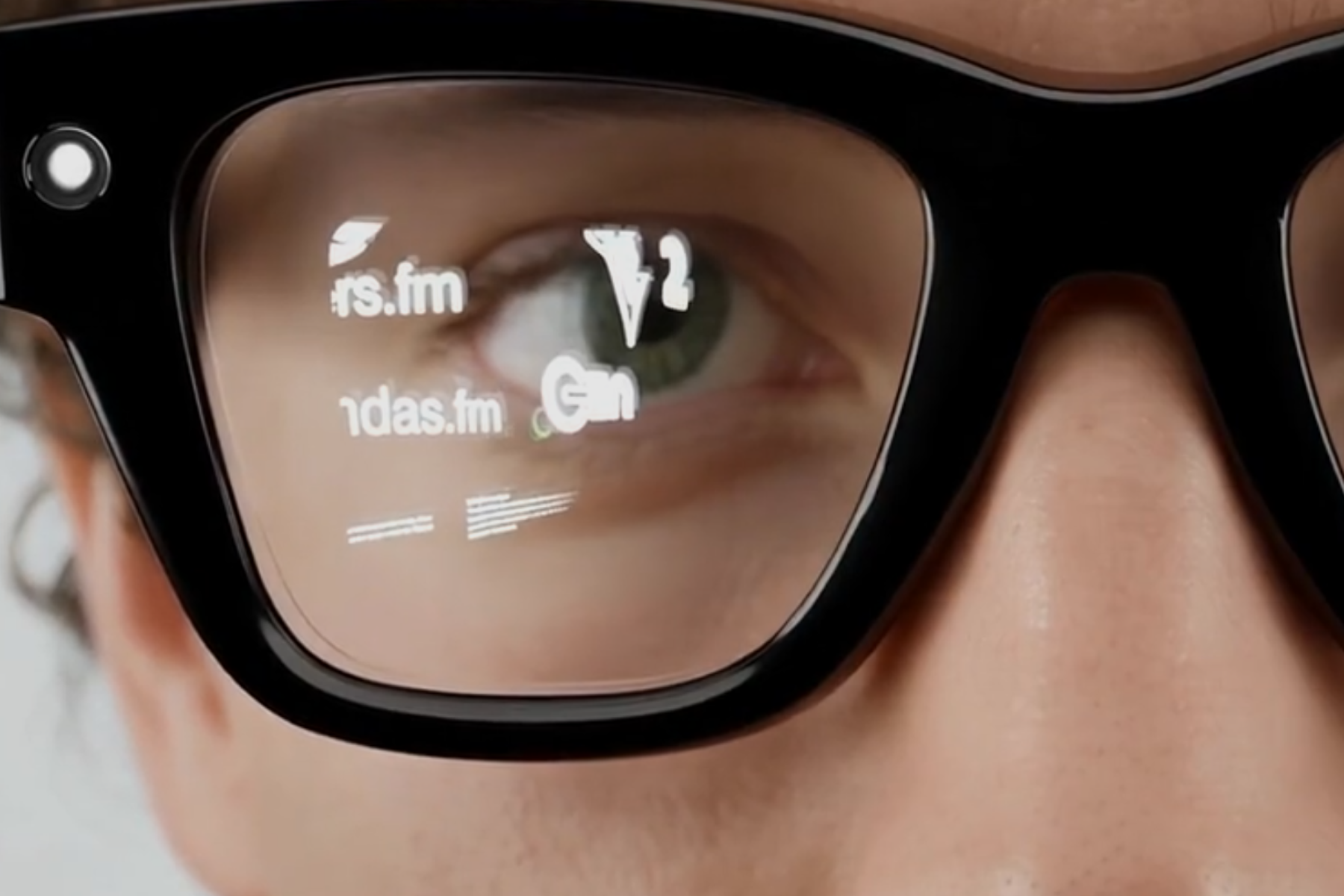
The AR device market is showing strong growth signals, but most services still amount to flat UI panels floating in front of your eyes. We believe the line between physical and digital only truly dissolves when information sits on the terrain itself, so we set out to prototype an interaction model built around spatial mapping from the ground up.
What it does
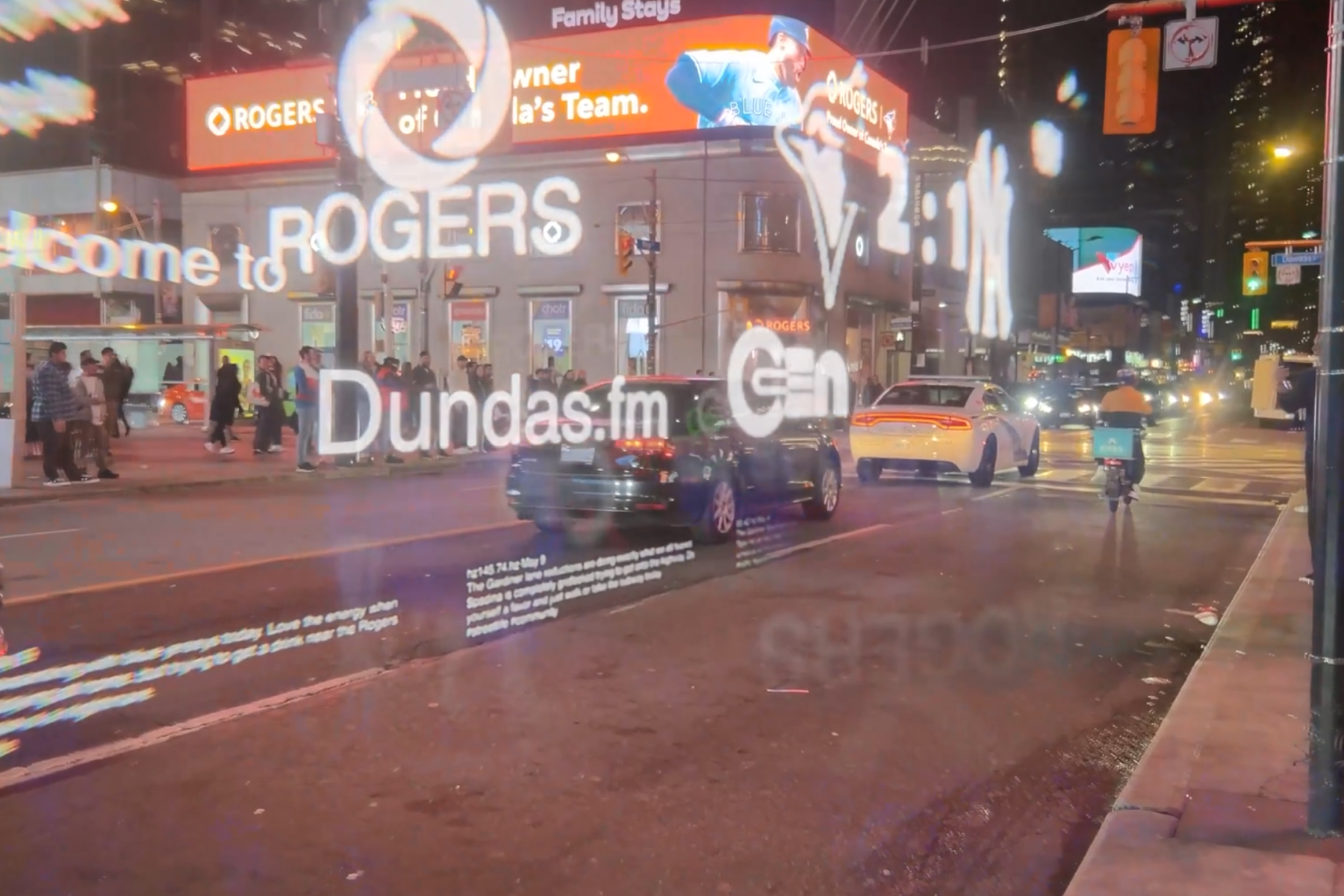
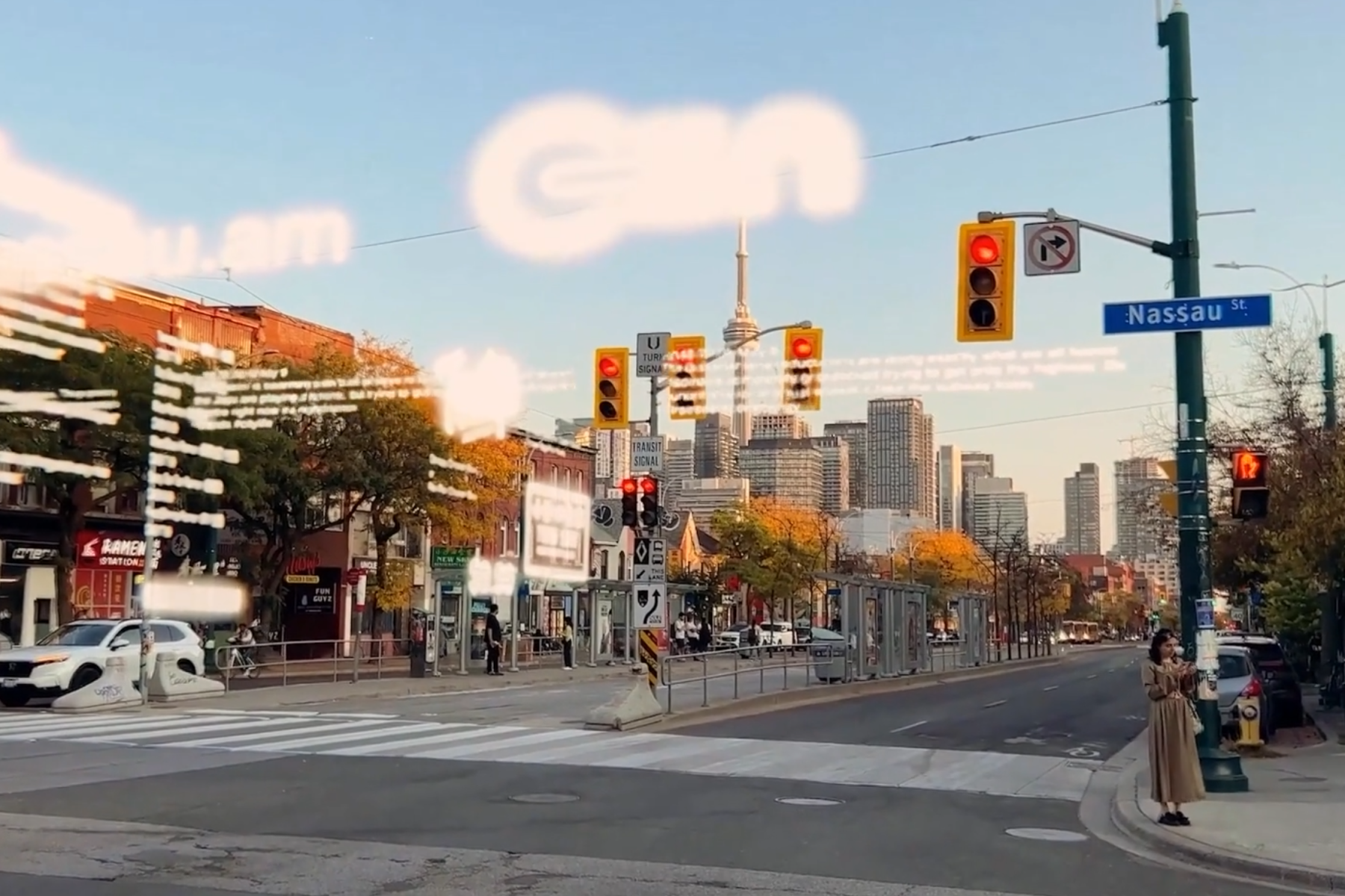
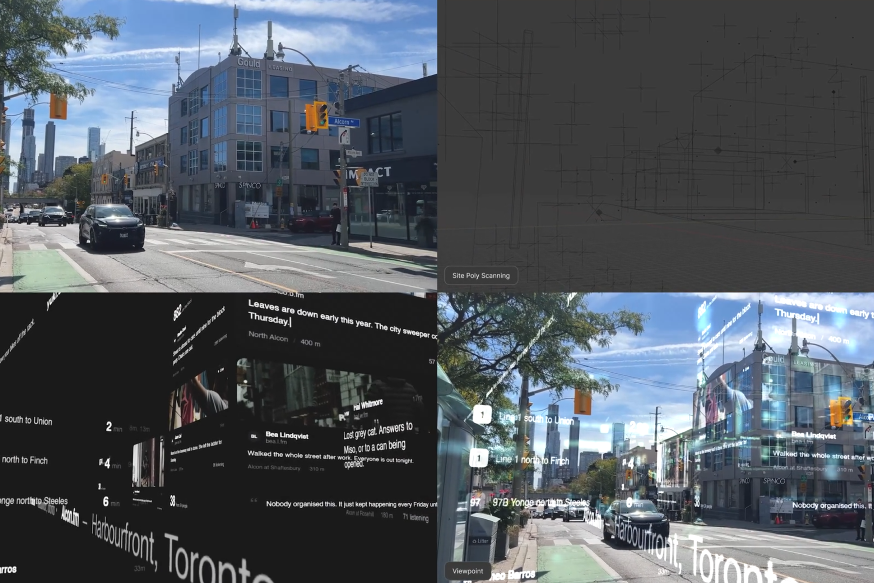
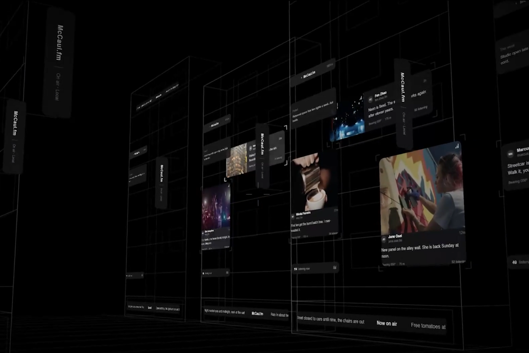
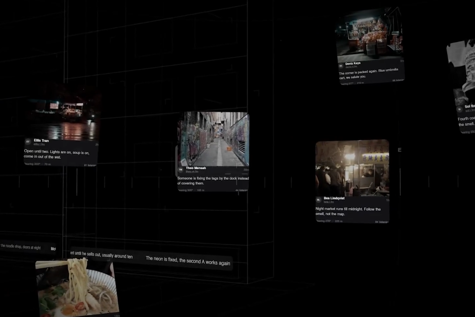
OnGen AR pulls local information around you in real time and places it on the inner surface of a 3D sphere centered on your viewpoint. Turning your head is enough to scan the layer of data surrounding you, with direction and distance preserved as spatial cues. Instead of a flat list, space itself becomes the interface.
How I built it
The pipeline tracks the user's location in real time, automatically calls local information APIs, converts the returned data into coordinates along three axes, and positions it inside a spherical projection. Mapping onto an actual terrain mesh was cut from this scope, since the compute load and hardware requirements put it out of reach. I focused instead on a low-fidelity prototype that validates the spatial placement concept.
Challenges I ran into
The hardest wall was handling live data streaming and 3D spatial computation at the same time. I concluded this was a hardware spec constraint rather than a software one, so I rescoped the project: terrain mapping out, coordinate transformation and stream validation in. The result doesn't register against real world geometry yet, but the packet structure that feeds live data into spatial coordinates works.
Accomplishments that I'm proud of
Getting the full pipeline running from start to finish: location, API collection, 3D coordinate conversion, spherical placement Designing and validating a real time data packet structure Recognizing the constraint, rescoping deliberately, and still shipping something you can actually look at
What I learned
Software design can route around hardware limits up to a point, but the more valuable skill was judging where to route around and where to simply cut scope. I also learned that an idea at this scale belongs in a longer horizon team project that leans hard on external SDKs, rather than a solo build.
What's next for OnGen AR
Next is validating whether commercial AR SDKs can deliver real terrain mapping, and pushing past the physical ceiling through rendering and compute optimization. Once the compute side stabilizes, this could offer AR hardware like Meta's or Rokid's an interaction model that goes a generation beyond the smartphone.
Two things worth adding before you submit: the tech stack in that placeholder, and a demo link or short screen recording. Judges tend to weight "is there something running" heavily, and your writeup currently doesn't point them to it.

Log in or sign up for Devpost to join the conversation.