-
-

Logo
-

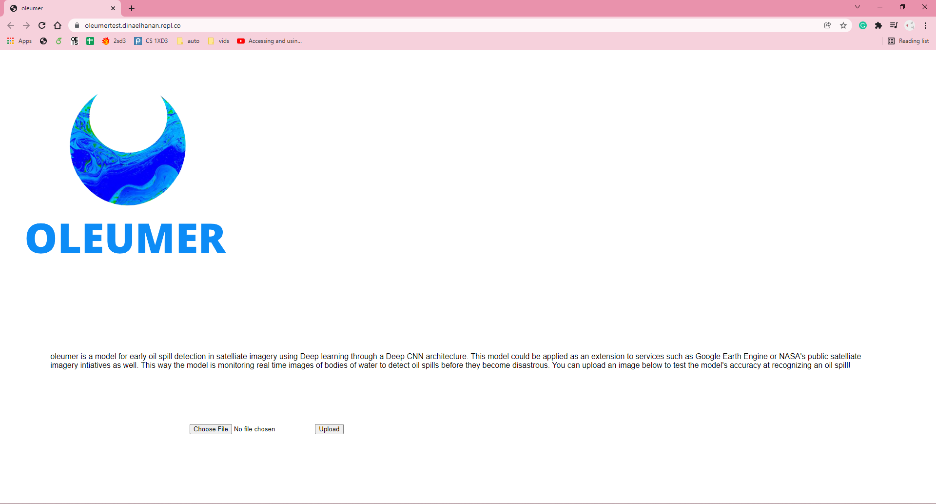
Website
Inspiration
In the present state of 2022, as climate change is crashing upon us at an alarming rate, the environmental issues our world faces can no longer be ignored. Through a conversation our team had about our conscious eco footsteps as a member of Generation Z, we realized that we needed to change the current state of the globe, even with just the hands of the four of us. With our current abilities, we wanted to tackle a corner of a global issue, but have the ability to thoroughly present a complete solution in that process. Minimization was the way to go, and oil spills were our target.
Ladies and gentlemen meet oleumer. Oil spill minimization for ecosystem and wildlife protection.
What it does
Oil spills are one of the most harmful disasters to the environment, suffocating and killing wildlife, damaging ecosystems, bankrupting oil companies and hurting taxpayer dollars. oleumer is a frontline warning system that serves to quickly detect oil spills by scanning and analyzing images taken by satellites of bodies of water with oil platforms in them to see whether a spillage has occurred. Our project serves as an extension product aiding governments and private organizations with satellites to form partnerships with oil companies. This optimizes the time used during communication when a spillage has occurred.
Additionally, because our extension is a real-time analysis system, we’ve also provided a website that allows users to upload their photos for analysis of whether an oil spill has occurred in that area. This website serves as a checkup for those who would like to utilize our system for analysis and research on their own time.
How we built it
We used python to create our own CNN (Convolution Neural Network) and we trained it to recognize colours in oil spills satellite imagery so that it can analyze and announce immediately when it’s detected signs of an oil spill in live satellite imagery. We split work among the group members to play to everyone's strengths. Github is used for version control and communication on code components. We created an additional site using the Flask framework.
Challenges we ran into
At first, we thought to use Google Cloud's image processing since none of us had extensive experience creating and training our own CNN models however we wanted to demonstrate a well-rounded project that can be applied to bigger systems such as the satellite feeds from national government science agencies and large private companies like SpaceX. And so, we created and trained our own model.
Accomplishments that we're proud of
- Coding and understanding a Convolution Neural Network for the first time.
- Designing the look of the application and site.
- Using the design process to recognize the Problem, Client, Solution, and Impacts along with recognizing and addressing assumptions.
- Research the effects of oil spills and come up with a practical, applicable solution that could prevent such extreme loss and suffering of wildlife.
What we learned
We learned about sorting a data-set before using it to train a CNN, implementing a CNN model in python, graphing the accuracy of predictions of our model, and creating a project site using the Flask framework. More importantly, through our research on the problem and impact parts of the design process, we learned a lot about the impacts oil spills have on the environment, their sources, and what isn't being done on political and industrial levels to prevent these catastrophes that not only harm aquatic wildlife but put humans in danger, all for the bottom line.
What's next for oleumer?
oleumer could be implemented in live satellite imagery systems from scientific initiatives such as Google Earth Engine or NASA's public satellite imagery systems. We also aim to serve as an extension on satellite systems of private spaceflight companies, like SpaceX and Virgin Galactic. The oleumer algorithm could also be updated to recognize faults in oil drilling sites to alarm the possible failure of the site before a natural disaster or harmful situation occurs by training it on satellite images of safe and unsafe oil drilling sites. We will also aim to help scan and document the area of past oil spills to aid in the cleanup and restoration processes of these spills. Partnering with organizations like Greenpeace for funding and support for continued development and marketing to scientific organizations can be beneficial.


Log in or sign up for Devpost to join the conversation.