-
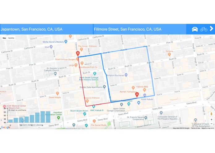
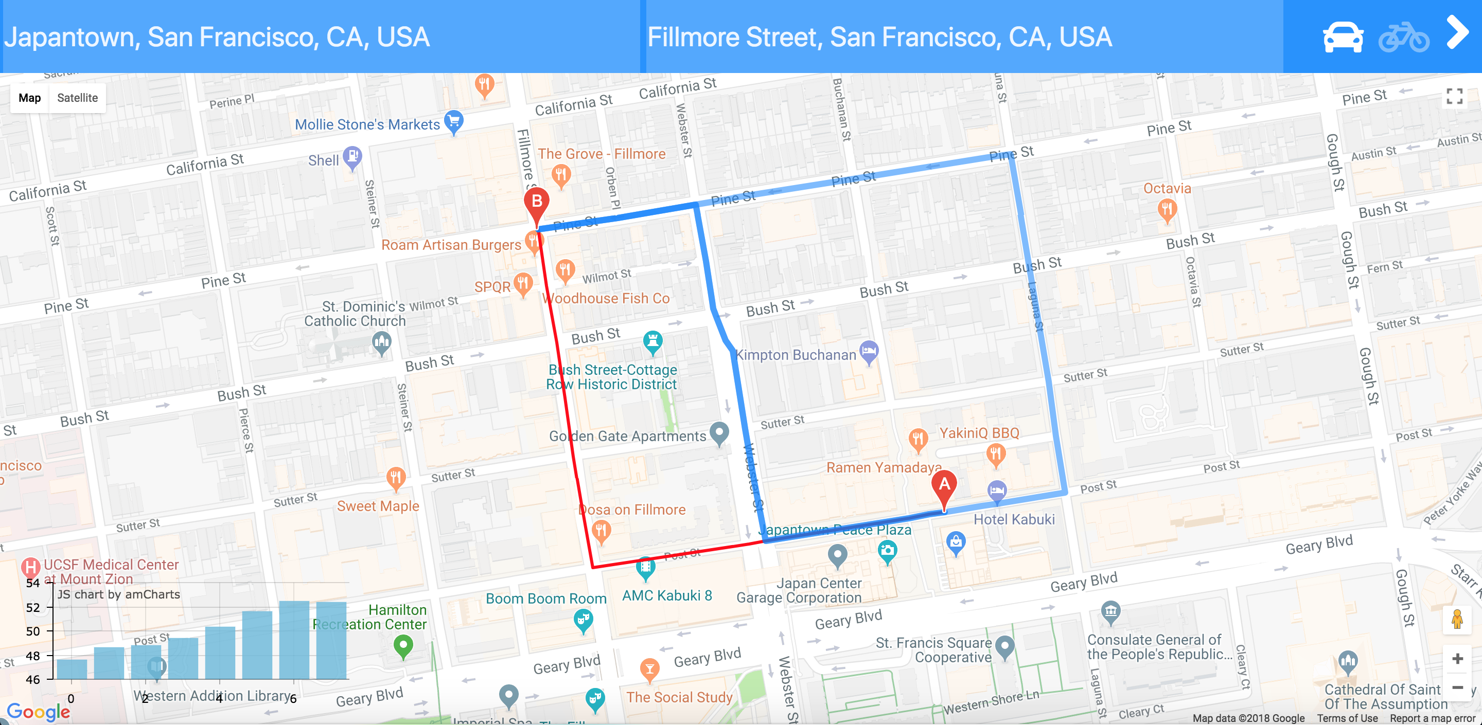
The app in action
Inspiration
If you've ever driven a manual or rode a bike in the city, hills can really suck. We wanted to make an app that would help people avoid hills wherever possible.
What it does
Our app makes it easier for users to use google map directions but it will route using the most consistently flat (whether incline, decline, or perfectly flat) roads instead of being based on traffic or time.
How I built it
The Google Cloud Platform gives us Google Maps, Google Directions, and Google Elevation Service. We used the longitude and latitude coordinates from each of the paths that make up each routes to find the elevation breakdown of the path. To know how many hills where along the path, we found the standard deviation of each path segment and then we take the standard deviation of all the segments of the route. We returned the route with the least standard deviation as the route with the least amount of hills.
Challenges I ran into
Javascript can suk (callback hell), and geolocation from wifi was sending me to random locations and most of the time we couldn't get a location
Accomplishments that I'm proud of
We were able to complete and polish this app nicely
What I learned
Documentation is your best friend
What's next for OhHillNaw
Making it into a mobile application that people can use on the road

Log in or sign up for Devpost to join the conversation.