-
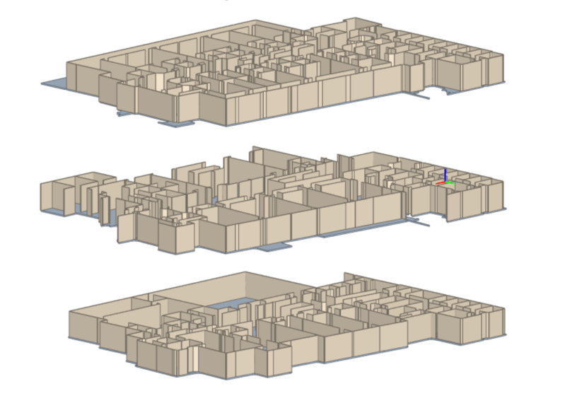
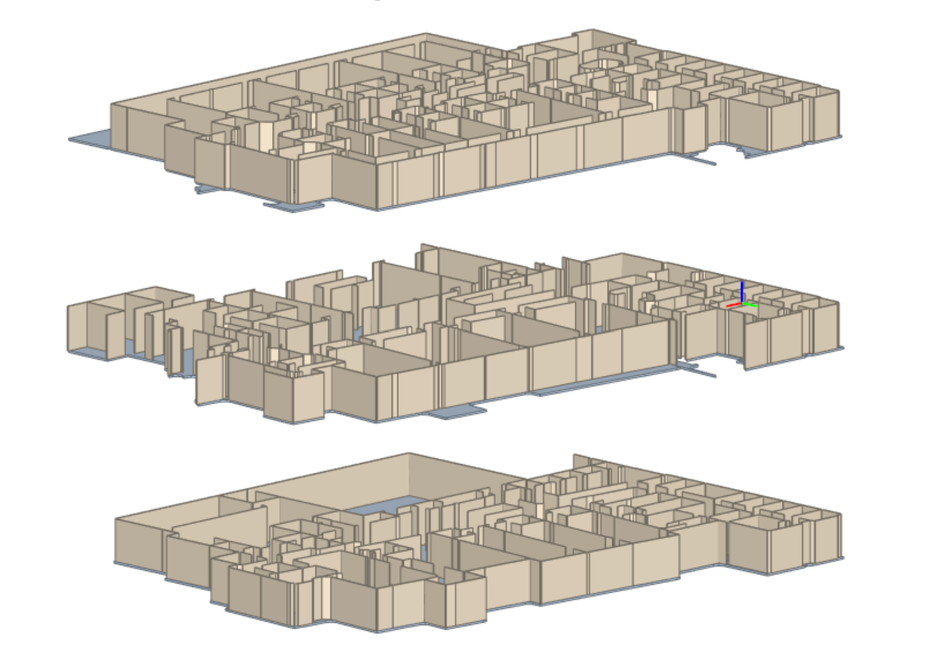
Exploted view of walls by floor for access point mapping
-
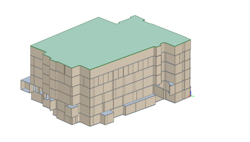
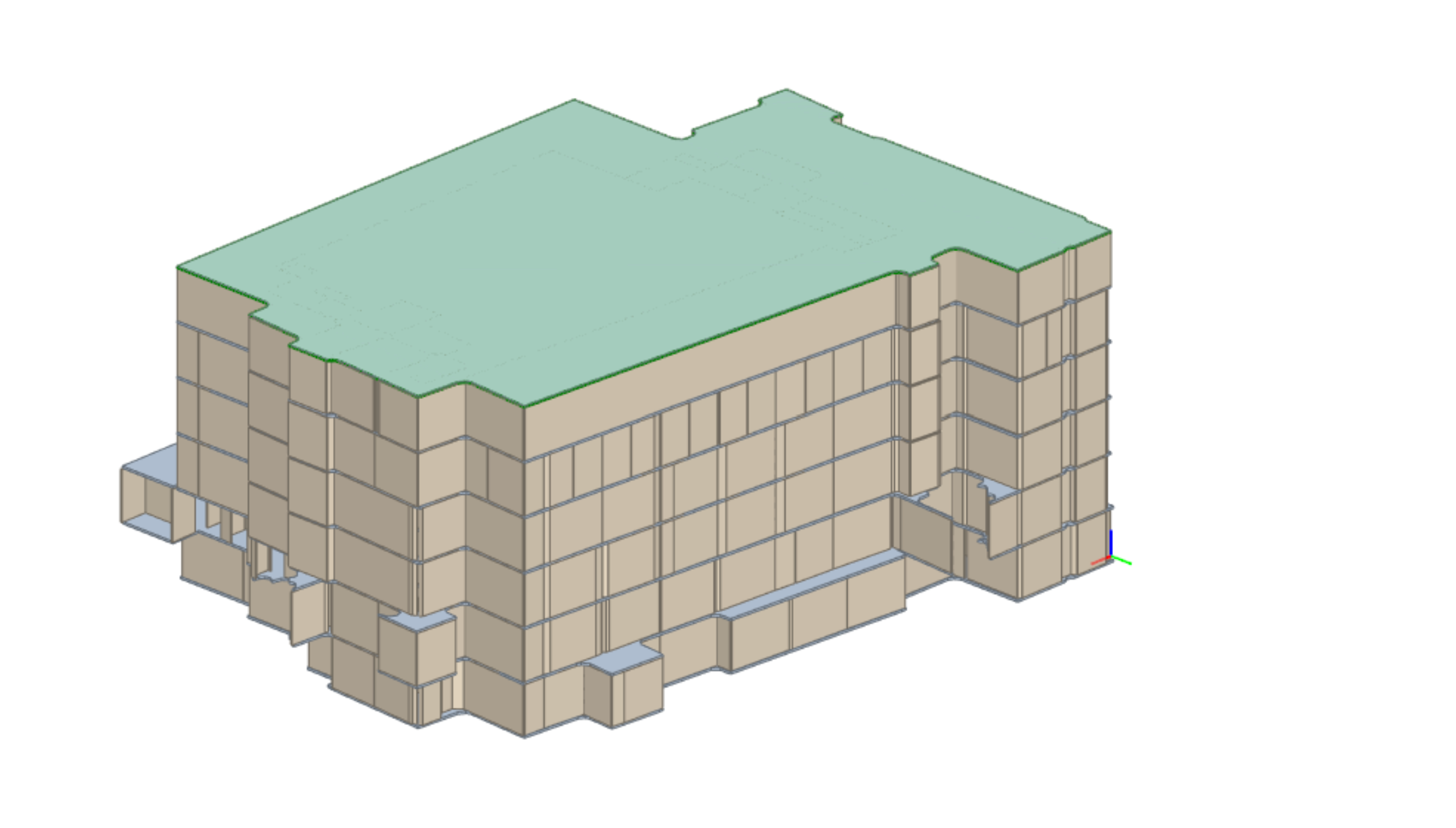
Wilkinson 3D model
-
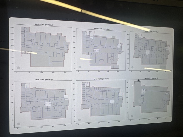
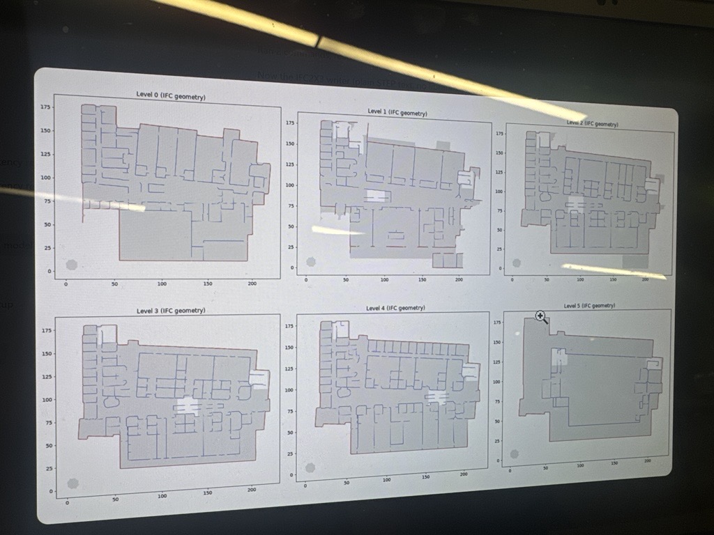
Floor plan mapping scaled to size
-
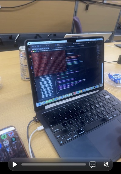
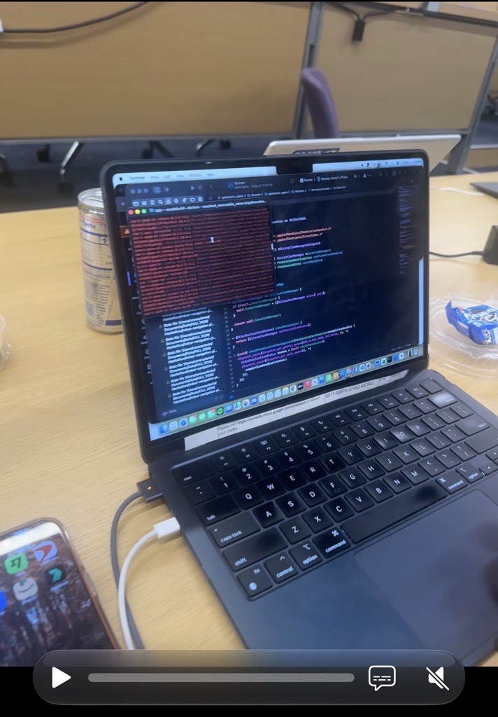
Not everything goes according to plan
-
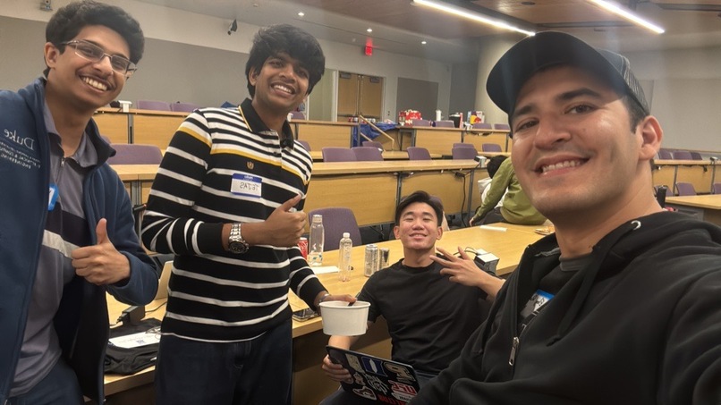
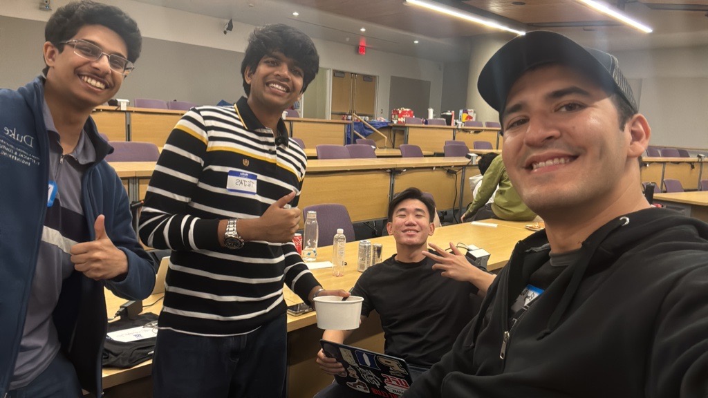
A-team!
-
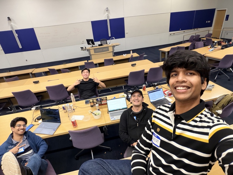
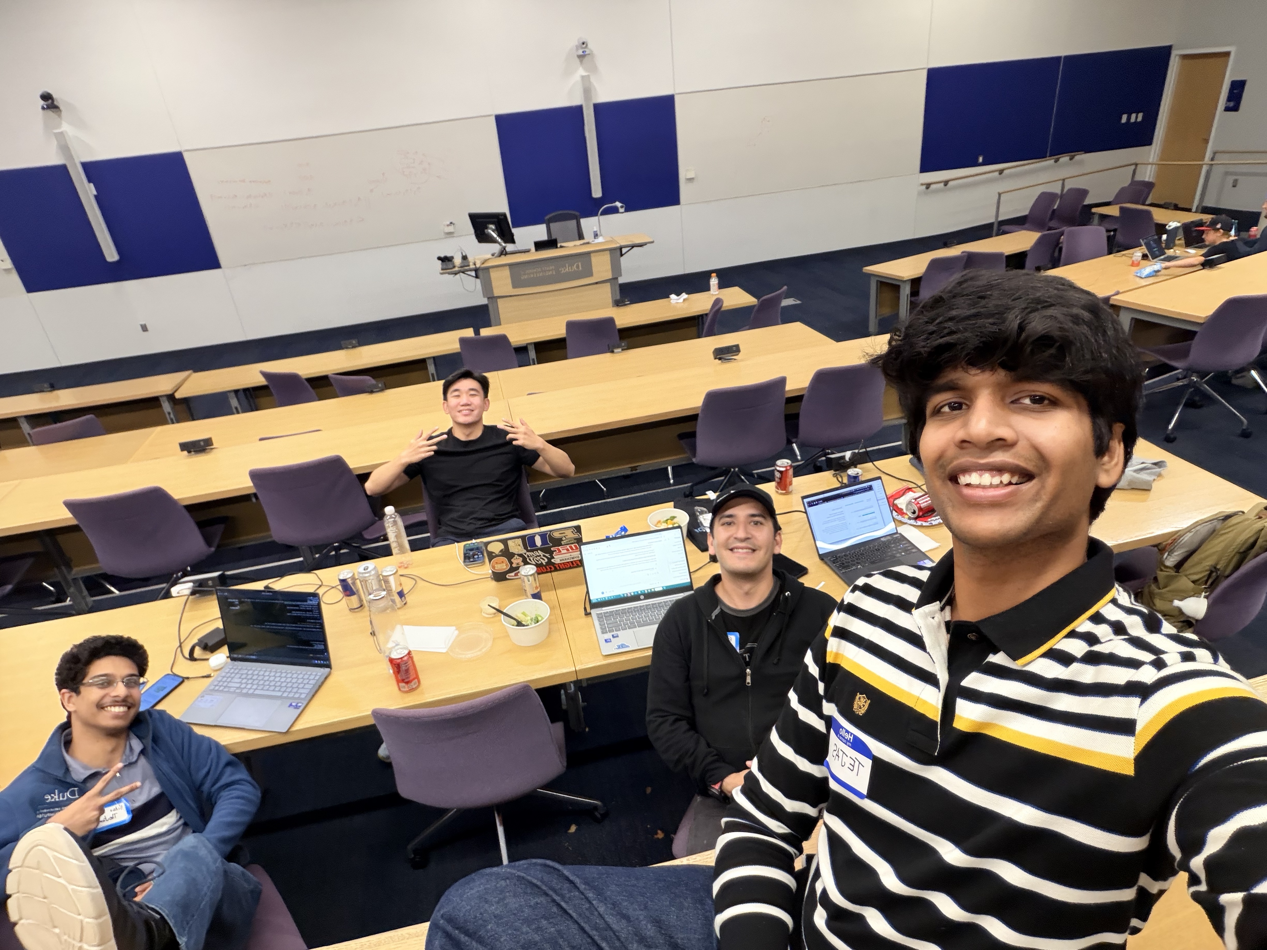
A-team p.2!
-
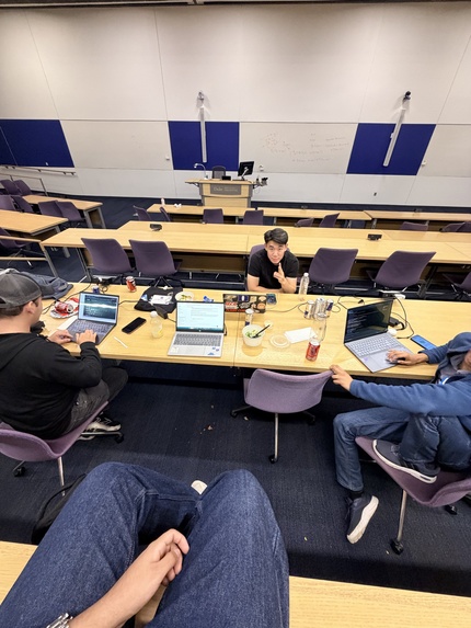
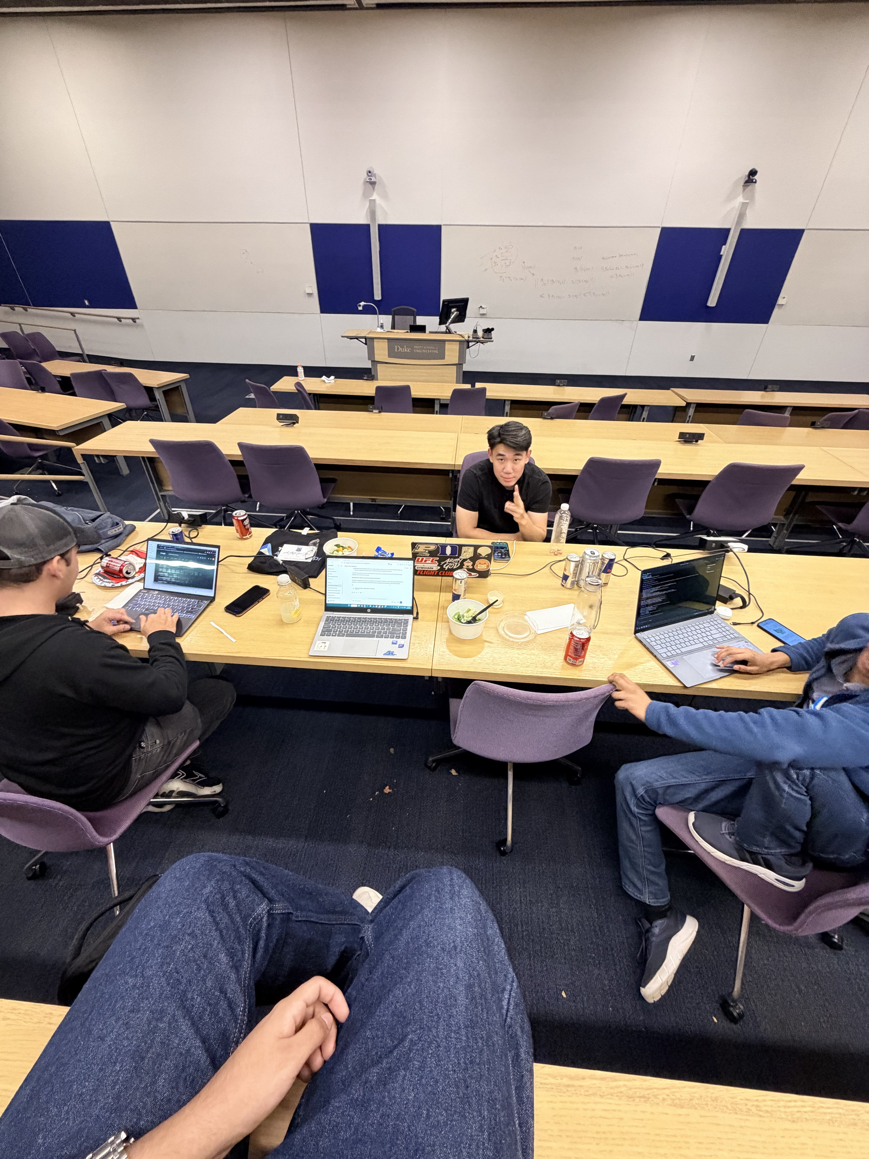
The diet of a hackathon student
-
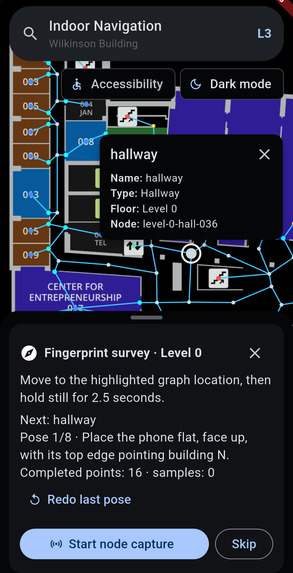
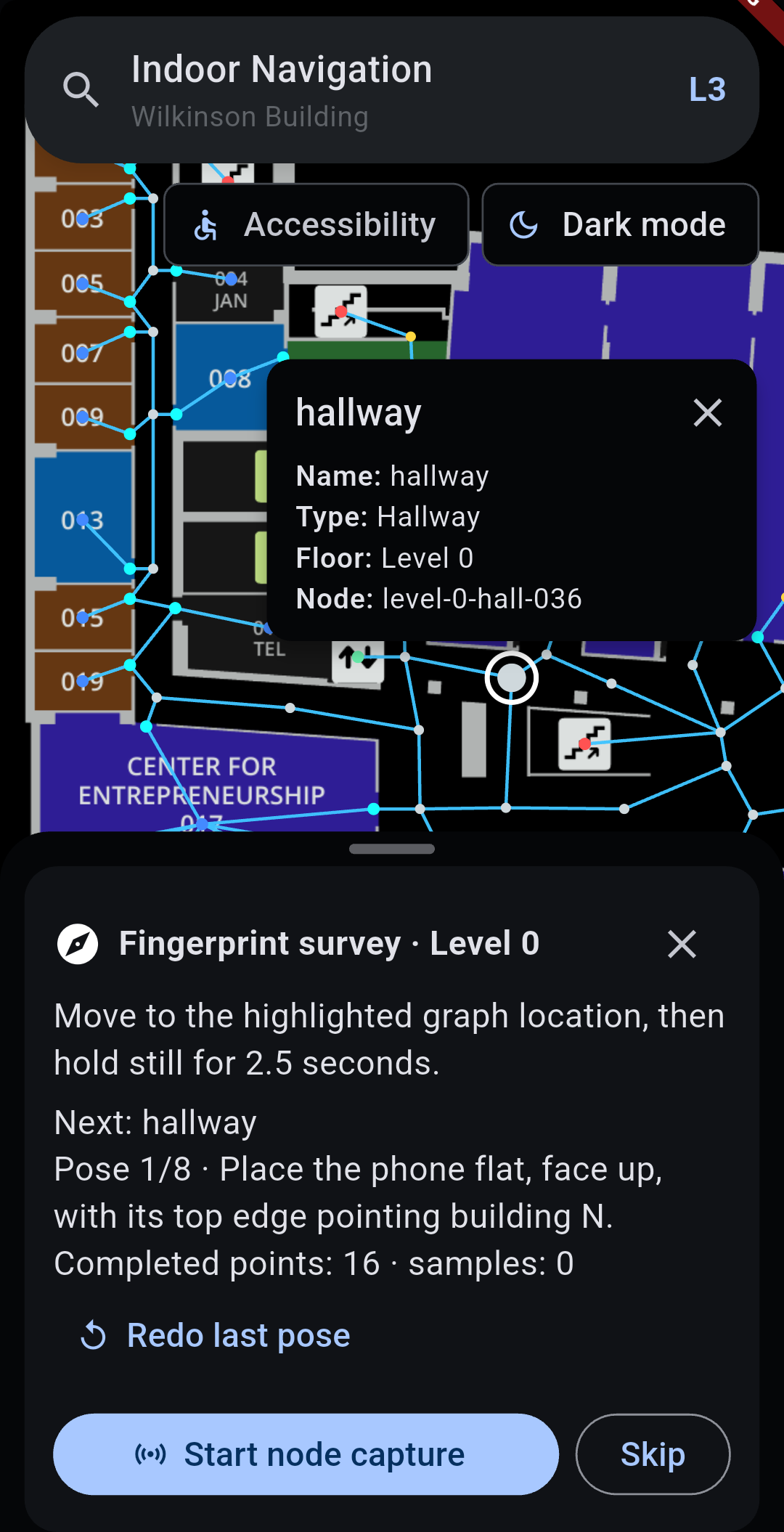
Creating the nodes for each floor
-
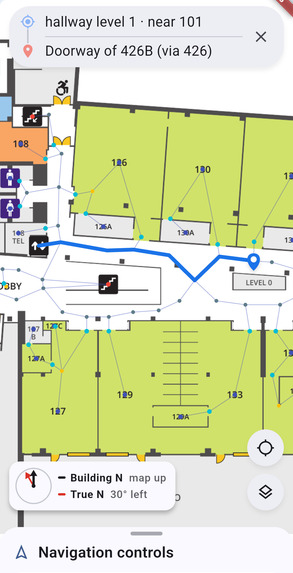
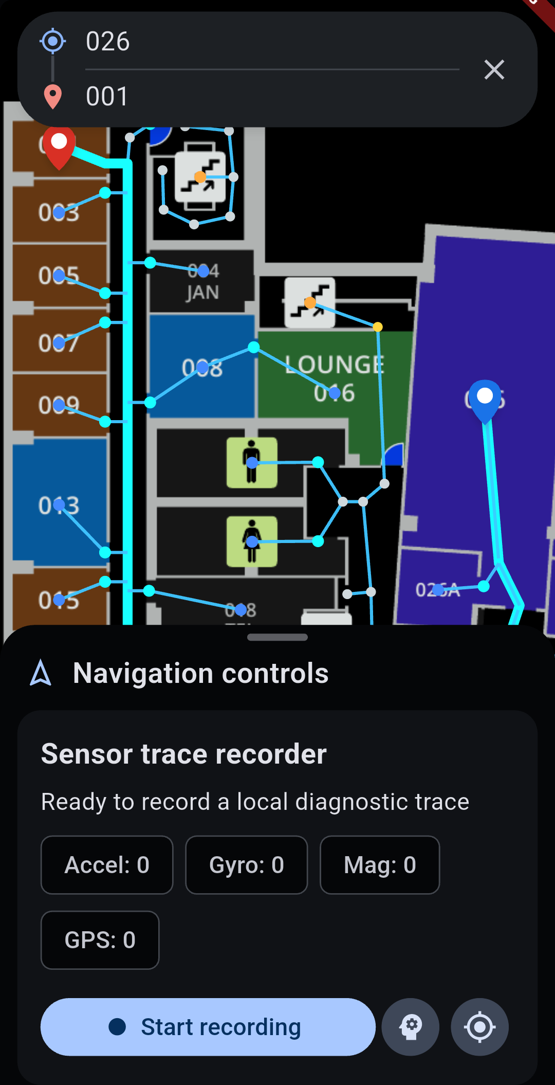
Light mode, indoor mapping
-
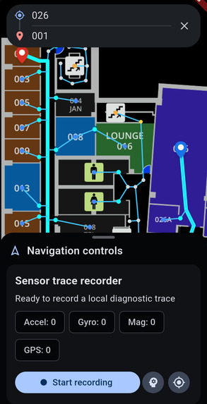
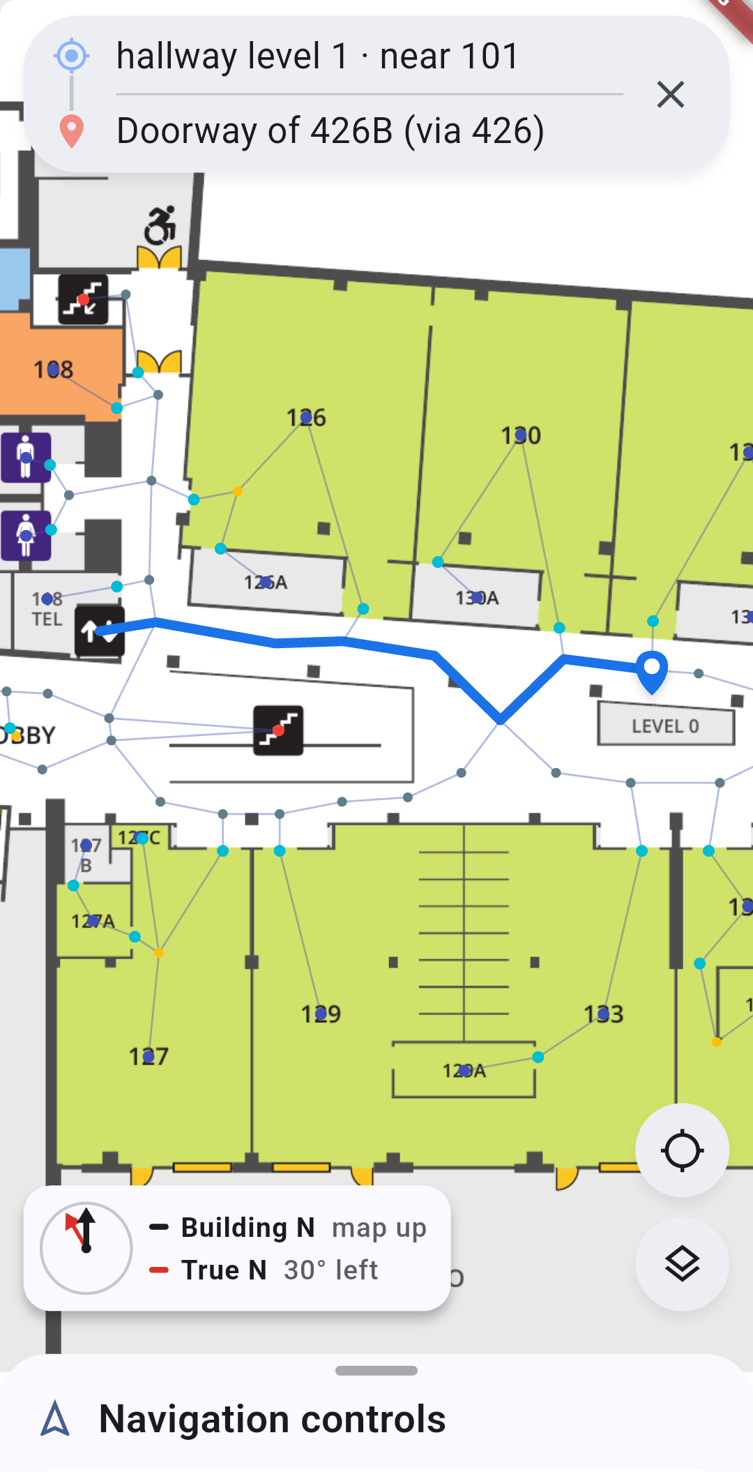
High visibility indoor mapping (room to room)
-
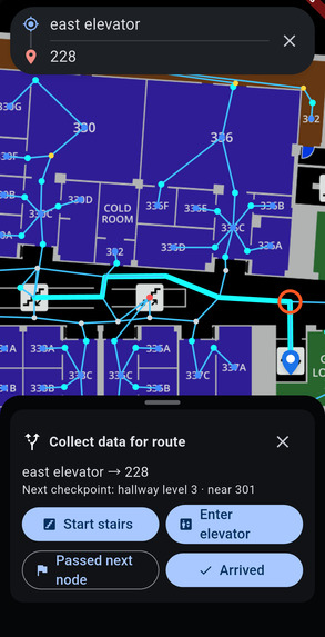
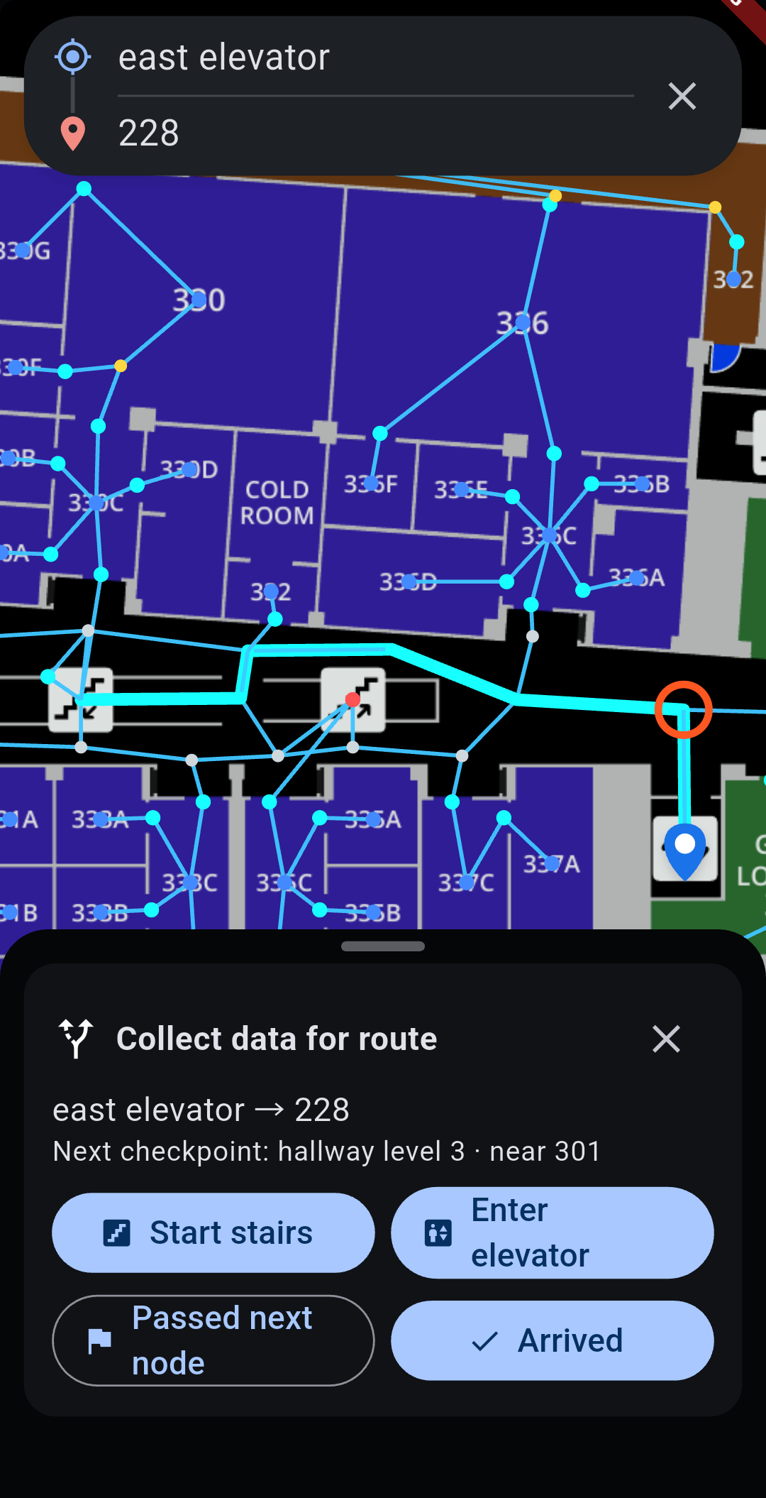
Indoor mapping across floors
-
Inspiration
Google Maps can get you to the right building, and then it stops. Schools, hospitals, and big campuses need people to find a specific office, lab, or clinic, ideally without new hardware and without a staff member walking them there. We asked whether the phone in your pocket and the Wi-Fi in the building could do the job.
What it does
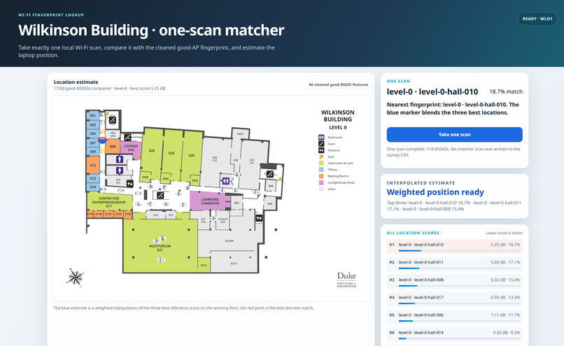
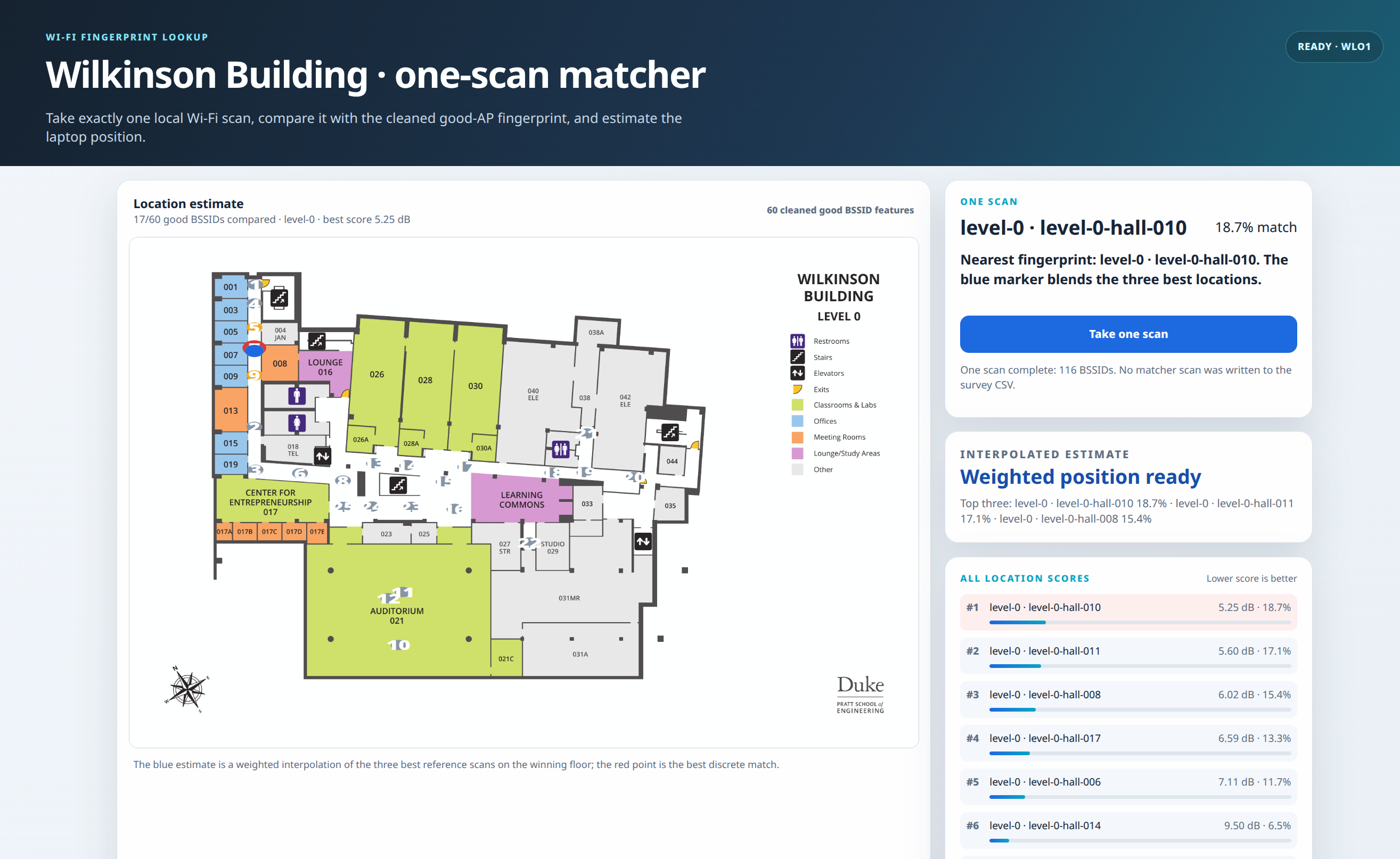
Off The Grid is indoor navigation system that doesn't use GPS. It works out where you are inside a building using the Wi-Fi 5+ access points that are already installed. The system improves itself: every new recording refines the map, so error keeps dropping toward our goal of locating someone within 3 feet. That's close enough to guide a person walking or using a wheelchair to their destinations.
It can route between rooms and across floors. A patient can get from their doctor's office to radiology, and a new student can get from the building entrance to office hours. The server can run locally or on a hosted backend like Supabase.
How we built it
We started with magnetic fingerprinting. We mapped the first three floors of Wilkinson with iOS and Android phones, taking both static and walking measurements, and built working apps on both platforms. The data showed us that the noise in a lab building running equipment 24/7 was bigger than the signal we were measuring. Bluetooth Low Energy was also turned off on the access points, so that option was out too.
On Saturday night we pivoted. We tested whether a laptop's own Wi-Fi chip could listen to nearby access points and record each one's MAC address (BSSID) and signal strength. It could. We reused the pipeline we had built for fingerprinting, and about four hours later we had a working prototype and proved the concept DOES WORK.
While half the team built that, the other half made a 3D model of the building as an text based IFC file, so we could visually check where the access points really are once mapped. We then used SLAM (simultaneous localization and mapping) to work backward to each access point's location. From about 100 data points, we placed 60 access points to within 1 meter. Wherever we could, we used open-source software, public repositories, and free resources.
Challenges we ran into
- Noisy data: the magnetic error was bigger than the signal in many locations, so we had to know when to let that approach go.
- Locked hardware: phone and laptop makers keep low-level radio access completely locked behind the OS (no bare silicon access).
- Time and sleep: the hardest part was deciding when something was done enough and planning so we could work in parallel, not one step after another.
Accomplishments that we're proud of
- Going from a failed approach to a working Wi-Fi prototype in one evening.
- Sub-two meter access point localization from only about 100 samples.
- Building a system that refines itself on its own data. Apps are easy to copy in the age of AI. A growing, building-specific dataset is not, and it's useful to building owners for space analysis and future digital twins.
- Preserves data privacy ensuring no specific data can be traced back to a specific user while providing useful data for both building administrations and growing efficacy of the project.
- For two of us, this was our first hackathon, in a field that was new or partially foreign to us. We pushed past the boundary of fear and unknown and leveraged our seemingly unrelated industry knowledge to further improve this project.
What we learned
- How iOS and Android handle sensor data, and how to use a phone, and then a laptop's raw Wi-Fi chip, as a measuring instrument.
- Why error has to be small compared with the signal, and why the larger goal matters more than chasing a perfect approach.
- How to use Gemini, OpenAI, and Claude together, each where it fit best.
- Most of all, how to work as a team: the weekend didn't go to plan, and we stayed positive, respectful, and collaborative the whole time.
What's next for Off The Grid - Indoor Navigation
- Map the rest of Wilkinson and keep refining the dataset.
- Bring Wi-Fi positioning to iOS and Android. This is its own research project, because phone makers partly lock the signals we might need to move the app from PC to hand held device.
- Look into IP protection and partnerships to take Off The Grid from a hackathon prototype to campuses, hospitals, and beyond.

