-
-
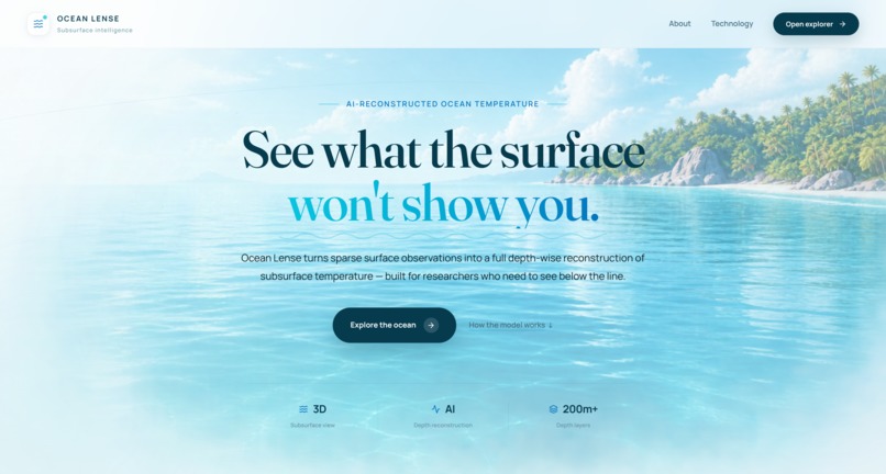
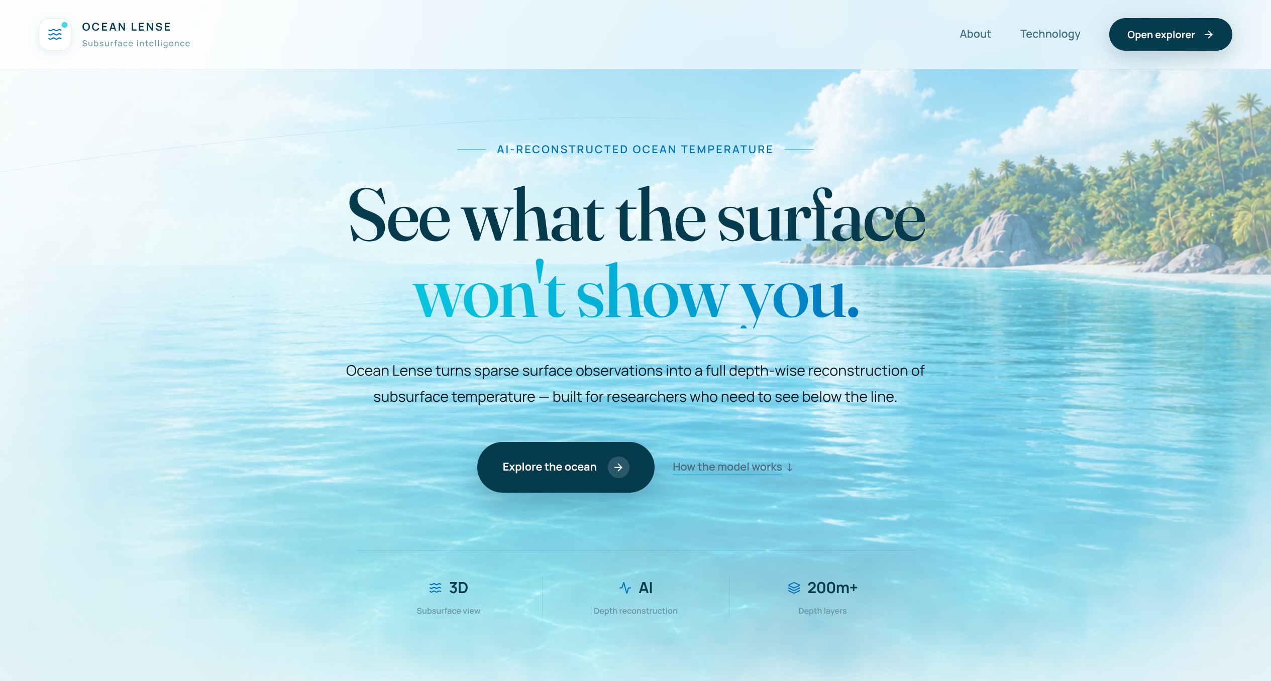
landing page
Inspiration
Ocean temperature plays a major role in understanding the health and behavior of our oceans. It influences marine ecosystems, currents, weather patterns, climate, and the movement of nutrients and marine life.
However, measuring temperature below the ocean surface at every location is extremely difficult. Instruments such as Argo floats provide valuable measurements, but they are limited in number and cannot practically cover every point of the ocean at all times.
This inspired us to build Ocean Lense — a platform that uses satellite observations and AI to estimate subsurface ocean temperature where direct measurements are unavailable. Our goal is to make ocean data more accessible and help researchers explore regions that are difficult to monitor directly.
What it does
Ocean Lense uses available ocean and satellite observations such as sea surface temperature, sea surface salinity, sea surface height, currents, and wind information to reconstruct temperature profiles below the ocean surface.
Users can select a location and date and explore how temperature changes with depth.
This can help with monitoring and studying different aspects of the ocean, including:
- Ocean temperature patterns and anomalies
- Changes in subsurface conditions
- Ocean currents and their relationship with temperature
- Marine ecosystem and habitat conditions
- Climate and seasonal changes
- Potential regions of environmental stress
- Areas where direct ocean measurements are limited
Temperature is particularly important because changes in ocean temperature can influence marine habitats, species distribution, nutrient movement, currents, weather systems, and the overall behavior of ocean ecosystems.
How we built it
Ocean Lense combines a web-based interactive interface with a deep learning model for subsurface temperature reconstruction.
The system uses satellite and oceanographic variables as inputs and processes them through a trained neural network to estimate temperature at different depths.
We built the application with a modern web stack for the interactive visualization and a Python-based backend for the AI inference pipeline.
The interface allows users to select locations and dates, generate predictions, and explore the resulting temperature profile through different ocean depths.
Challenges we ran into
One of the biggest challenges was dealing with the limited availability of direct subsurface ocean observations.
Argo floats, buoys, ships, and other instruments provide important measurements, but they cannot be deployed at every point in the ocean. The ocean is enormous, and continuously collecting measurements at high spatial and temporal resolution is not practically feasible.
This makes it difficult to obtain complete ground-truth temperature profiles across the ocean.
Another challenge was working with large-scale scientific datasets and making the resulting information understandable through a simple interface. We had to connect the AI model, data processing pipeline, and visualization layer while keeping the experience easy to use.
Accomplishments that we're proud of
We built a working prototype that connects an AI-based ocean temperature reconstruction model with an interactive web interface.
Instead of showing only surface-level information, Ocean Lense allows users to explore estimated temperature conditions below the surface.
We are particularly proud of the idea of using the information that is already available from satellites and combining it with AI to fill some of the gaps created by limited direct measurements.
The project demonstrates how AI can potentially extend the usefulness of existing ocean-monitoring infrastructure without requiring physical instruments to be placed at every location.
What we learned
We learned that ocean monitoring is much more challenging than simply collecting temperature measurements.
The ocean is constantly changing, and different variables such as temperature, salinity, currents, wind, and sea-surface height are interconnected.
We also learned the importance of combining satellite observations with in-situ measurements such as those from Argo floats. Direct measurements remain extremely important for training and validating models, while satellite observations provide much wider spatial coverage.
Most importantly, we learned how AI can be used to estimate information that is difficult or expensive to measure directly, while still requiring proper validation and reliable scientific data.
What's next for Ocean Lense
Our next goal is to expand Ocean Lense into a more comprehensive ocean-monitoring and intelligence platform.
We want to support broader geographic coverage and make it possible to track temperature patterns across different regions and depths over time.
Future versions could combine temperature information with other ocean variables to identify anomalies, study changing ocean conditions, and provide early indications of regions experiencing unusual environmental changes.
We also want to improve model accuracy by incorporating more observations from Argo floats, buoys, ships, and other ocean-monitoring systems.
Ultimately, we envision Ocean Lense as a tool that helps bridge the gap between limited physical ocean measurements and the enormous amount of information available from satellites, making deeper ocean conditions easier to monitor and understand.

Log in or sign up for Devpost to join the conversation.