-
-
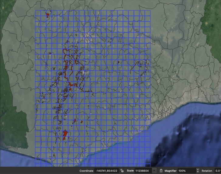
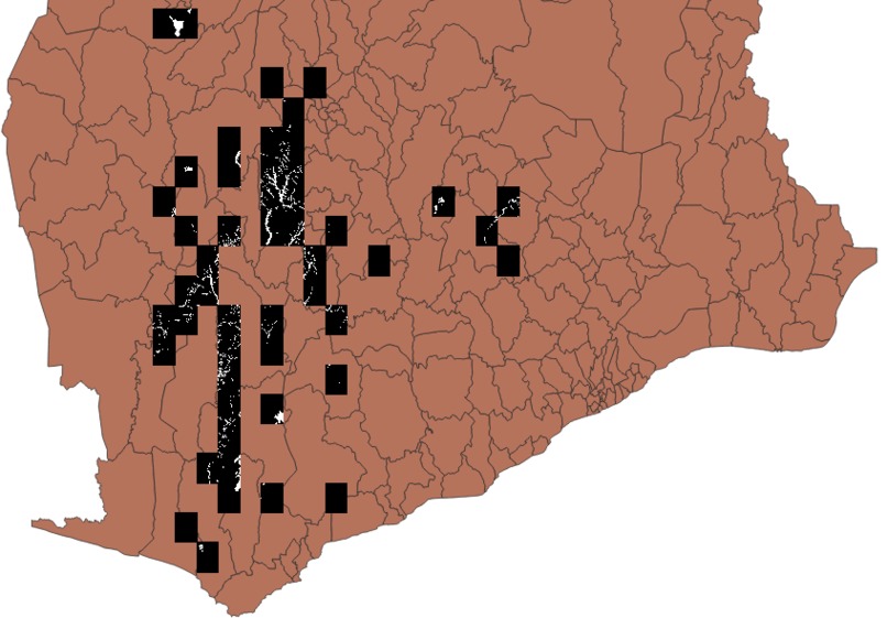
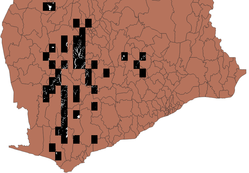
Grid regions covered in dataset of Ghana
-
Balanced tiles with their accurate geometric positions rendered in abstract space in space on QGis
-

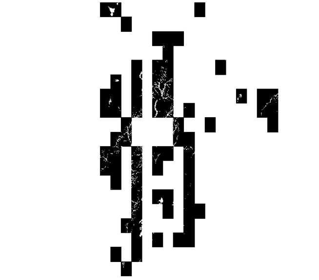
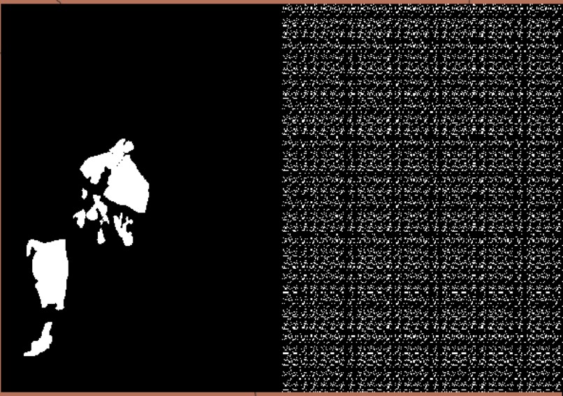
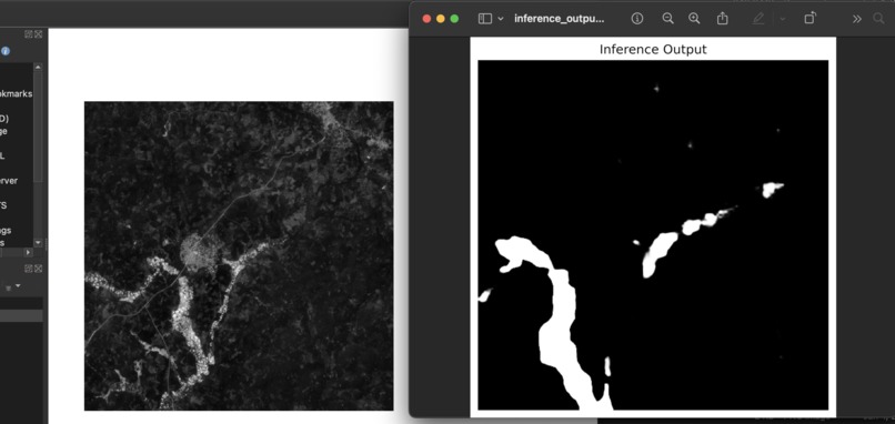
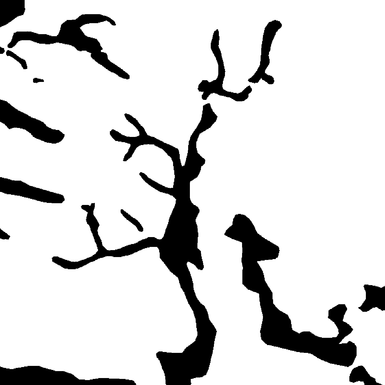
Sample of overffitted predicted mask
-
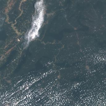
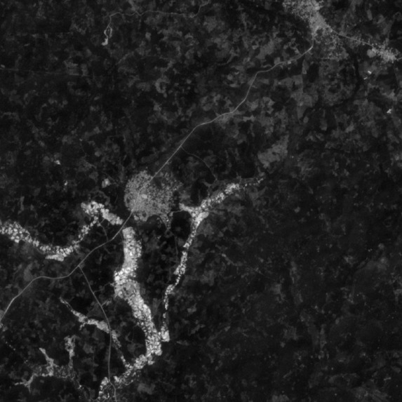
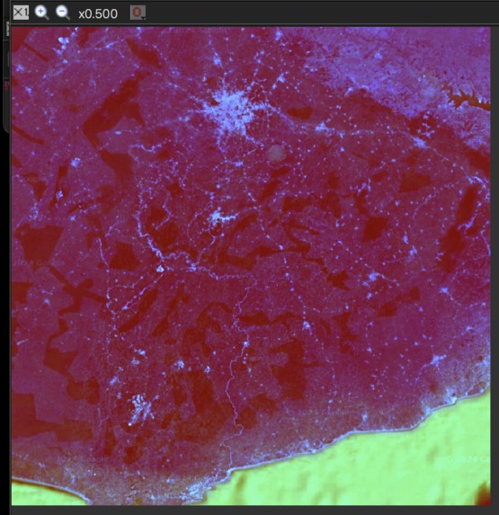
Sample sentinel-2 satellite image before cloud correction
-

Noisy prediction from initial experimentation
-

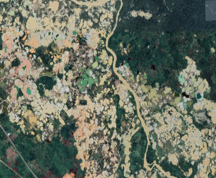
Sample mask tile
-
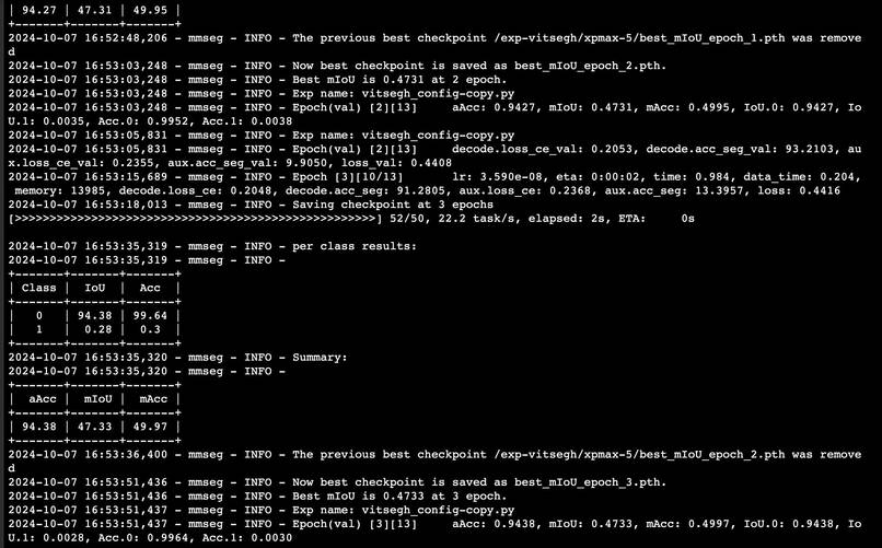
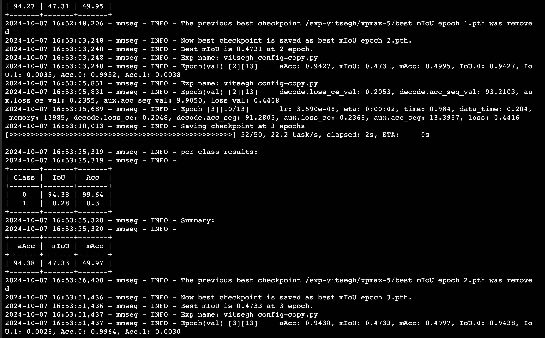
Screenshot of model training in progress during some experimentation stage
-
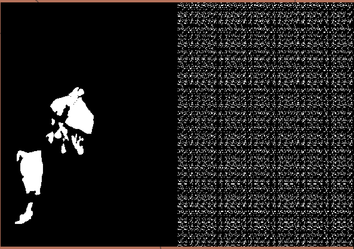
Input image vrs noisy prediction mask in initial model training
-
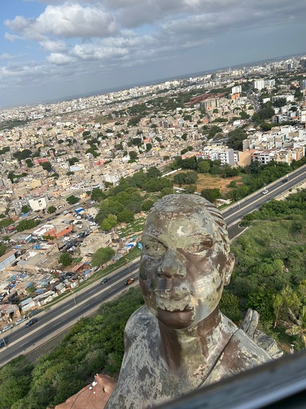
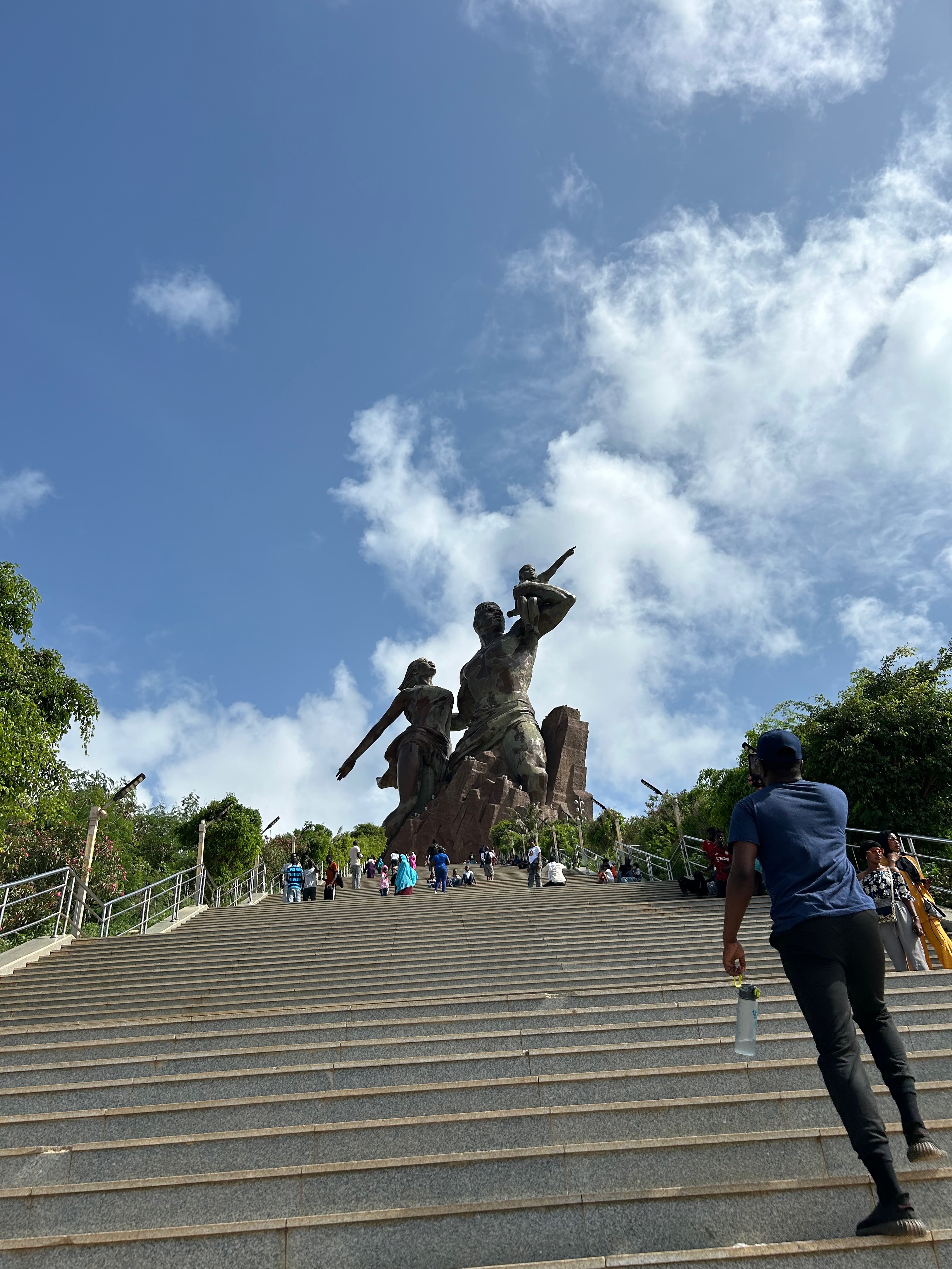
A visit to African Renaissance Monument in Senegal during Deep Learning Indaba 24
-
Regions covered in initial balanced training dataset over Ghana
-
Stacked bands of satellite imagery tile
-
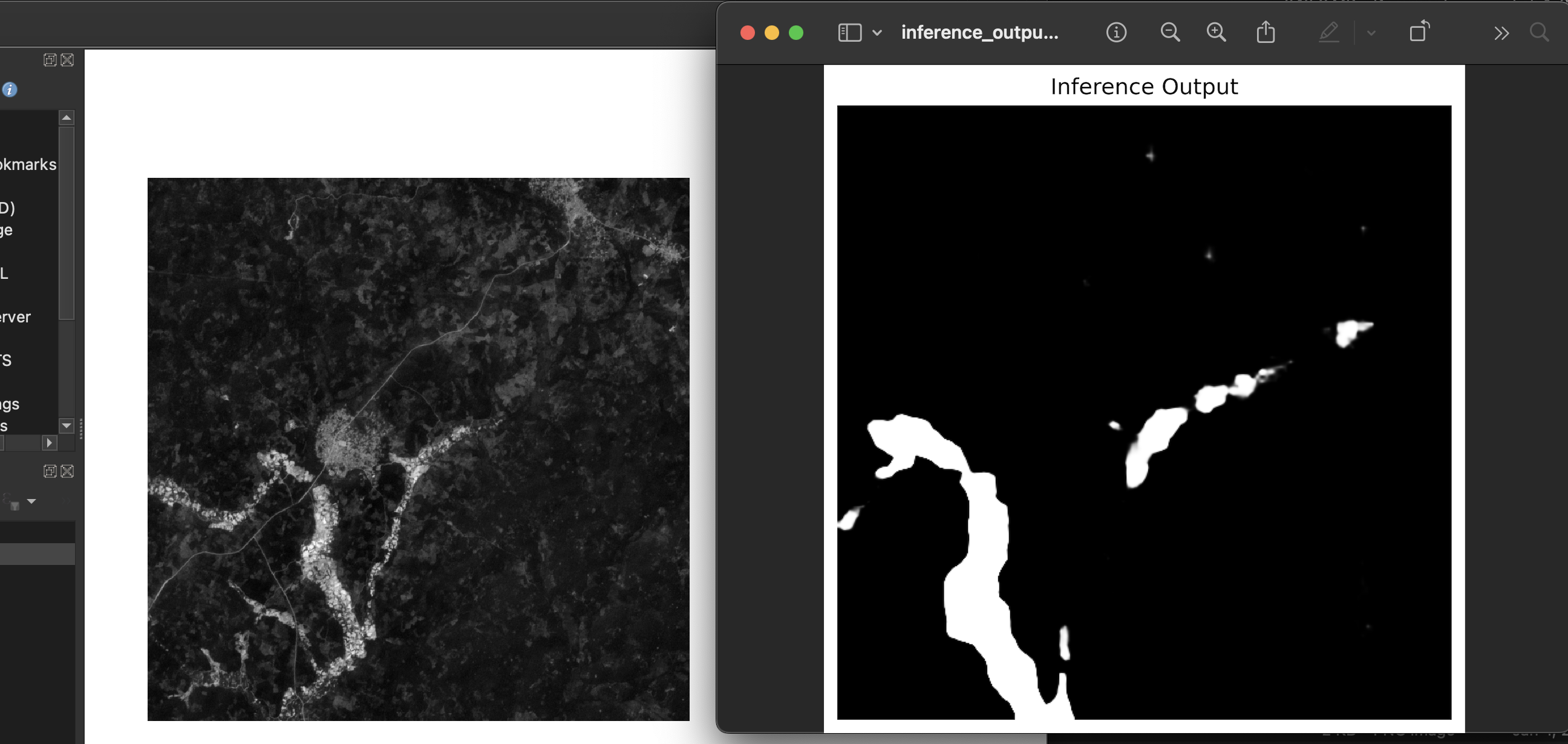
ground truth image vrs predicted mask from our model
-
-
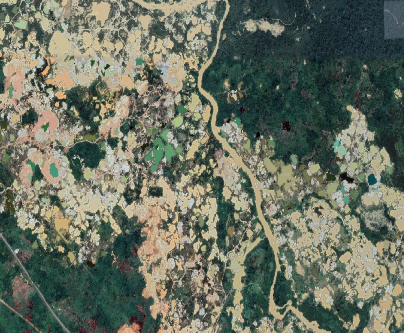
Scattered mining pits
-
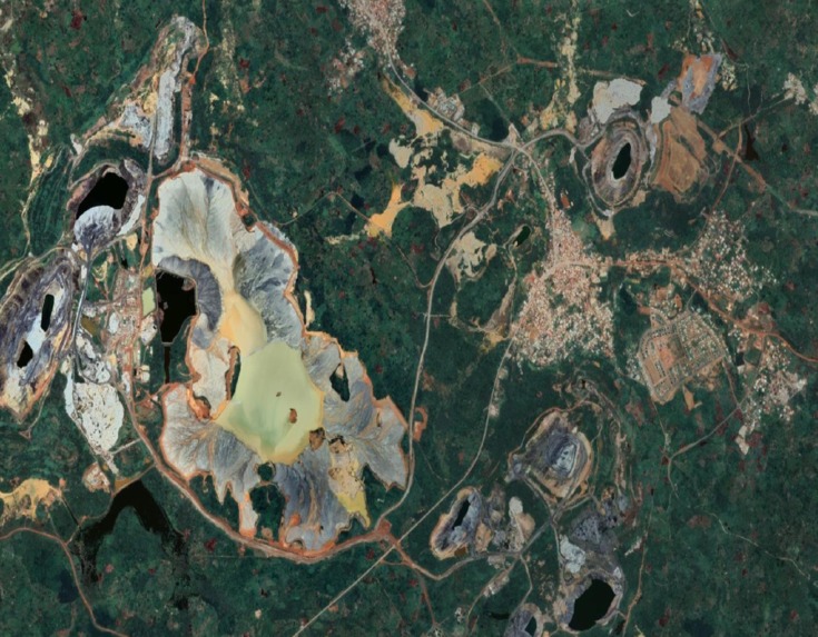
Localized mining site for comparison
-

A visit to African Renaissance Monument in Senegal during Deep Learning Indaba 24


Inspiration
The adoption of the idea for Nkrumahlands happened during BuildForSDG Cohort 2 which was organized by Meta (formerly Facebook) in partnership with Andela in 2020. The idea was then put into implementation in 2024 inspired by an award of $300 worth of credits from AWS Rapid Ramp program and $1000 in Activate Founders program and the acceptance of the research paper "VitSegh24: Illegal Mining Footprints Surveillance with Geospatial Imagery of Ghana" to Deep Learning Indaba at Senegal under 3 different workshops: AfriClimate AI, IJCAI AI symposium, and Weakly Supervised Computer Vision workshops.
What it does
Nkrumahlands uses machine learning to predict the locations of mining sites. In Ghana, traditionally, the government and law enforcers are only able to raid illegal mining operations through anonymous tips and other on-field operations. These are mostly manual and not time and cost effective. Nkrumahlands provides authorities with the near real-time power to easily identify old and new illegal mining operations so that they can be shut down. Nkrumahlands also provides a near real-time footprint on the effects of illegal mining operations in the region. All this is achieved with Artificial Intelligence which makes it a cost-effective solution.
How we built it
Nkrumahlands at its core uses semantic segmentation - a machine learning approach where a model is trained to predict masks on input data where it expects mining sites to be present. A research paper that details the architecture and training of the model will be published before the end of the year 2025. With a good enough model, several tiles were extracted from high-resolution sentinel-2 satellite imagery covering the regional boundaries of Ghana. Each of these tiles were then served as input to the machine learning model (Vitsegh24) and for each a segmentation mask was generated. Powered by Google Maps APIs coupled with Cesium JS, we are able to draw a 3D Globe in React JS. The tiles with their accurate geometries were then stored in a secure cloud storage and then rendered over the 3D globe which is powered by Google Maps. This resulted in an interactive 3D Globe with mining hotspots in Ghana.
Challenges we ran into
- Expertise: In the initial training of the model, we used a much heavier Vision Transformer model which was not necessarily needed for our implementation until we collaborated with another researcher - Ezra MacDonald from Canada - who set us on a better path.
- Compute Resources: GPU Servers cost quite a lot. Inasmuch as we received credits from AWS, we still burnt through our resources quickly since we were experimenting a lot.
- Funding: Our technical team was short staffed, and we could not resolve this because we lacked the financial resources to maintain a payroll.
Accomplishments that we're proud of
We were able to build an end-to-end solution of Nkrumahlands. This refers to a process starting from data preparation, model training, inferencing on all tile images and application of results on a user-friendly interface for insights. This particular achievement provided us with an assurance that the solution is able to be perfect after future iterations.
What we learned
- Build with what you have. Go with the flow and try to be bold.
- Be flexible. Change your approach and methodology as quickly as possible.
- Seek advice and ask for help.
What's next for Nkrumahlands
The next steps involve:
- Improve the accuracy of Vitsegh24 model by introducing more variability within the dataset. This is already in progress and will soon be achieved.
- Finalize the pipeline for inferencing new satellite imagery tiles to complete the pipeline for realtime insights.


Log in or sign up for Devpost to join the conversation.