-
-
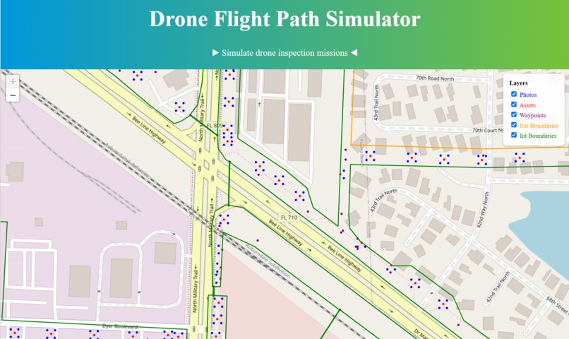
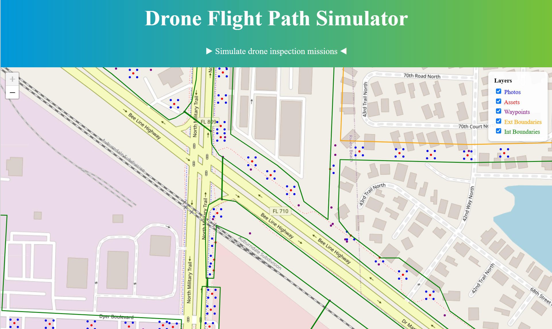
Zoomed in view
-
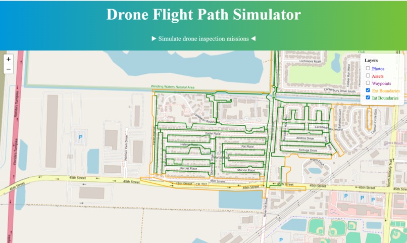
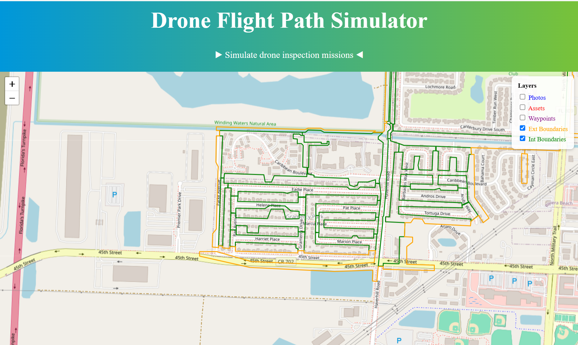
All the waypoints are toggle off and only boundaries show
-
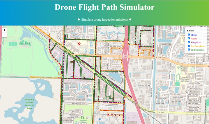
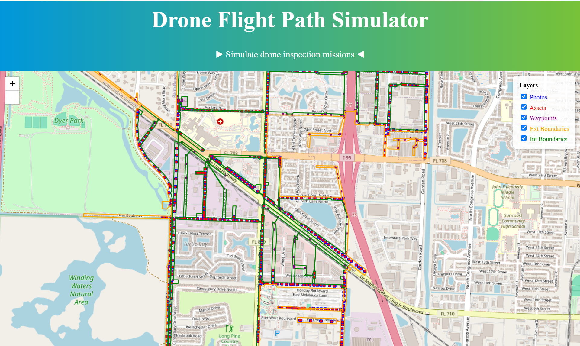
Zoomed out view
-
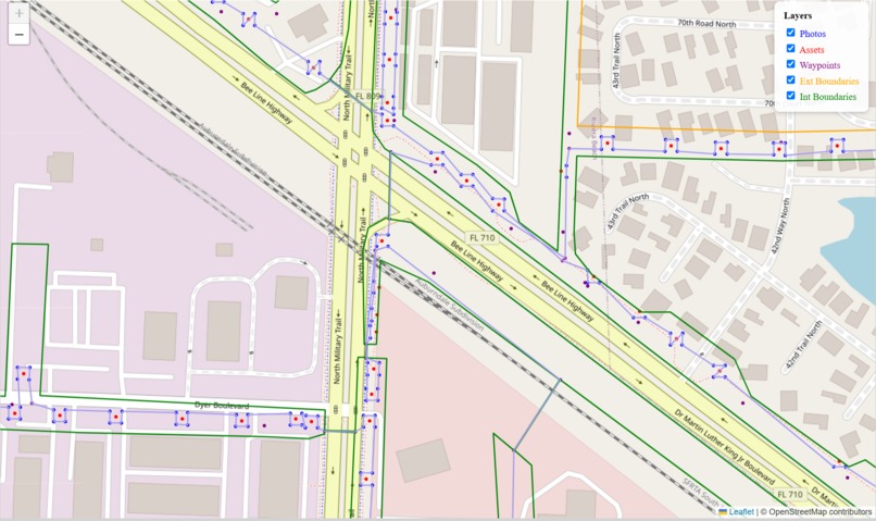
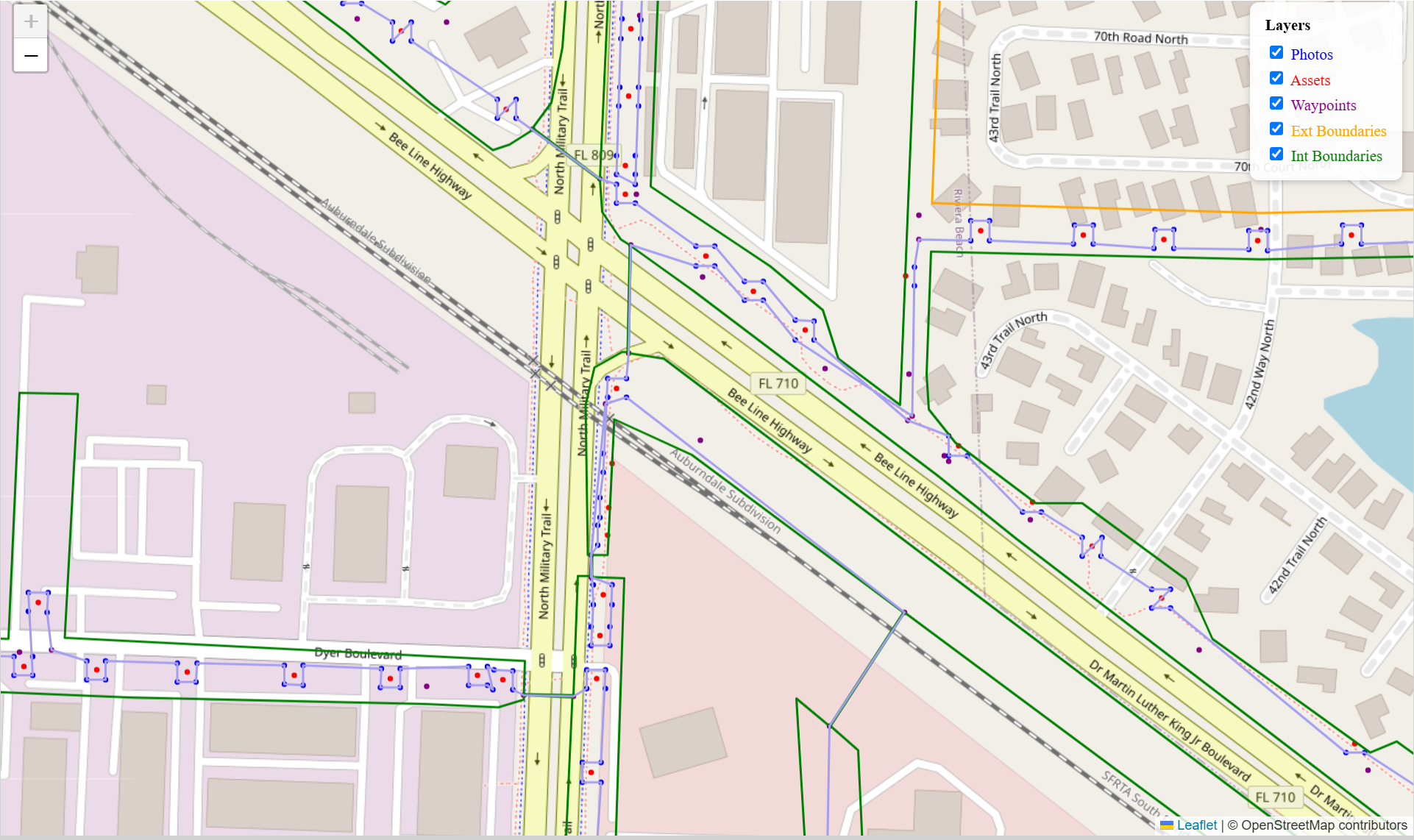
The blue lines shows the optimized drone path
Inspiration 💡
We were inspired by the NextEra Energy challenge, as we all found inspiration in being able to help improve the resilience of the grid. Specifically, we were fascinated in being able to optimize drone paths to look at power poles.
What it does 🌐
This project simulates inspection missions where a drone must visit a series of geolocated waypoints using the shortest path while respecting battery constraints and returning to the launch site between missions.
How we built it 🔧
This project made use of React for the website that displays the information. FastAPI was used to integrate our Python simulations onto our site. Google OR-Tools is used for optimization of the flight path.
Challenges we ran into 🚨
The main challenge we ran into was getting the optimized drone data to be output in the correct form and account for battery degradation. We were mainly able to resolve this by taking multiple drones into account.
Accomplishments that we're proud of 🌟
A fully working client/server integration that allows us to display the optimized data on our frontend. An optimized simulation that takes into account the presence of the power poles and photos.
What we learned 🧠
We learned the process of integrating a Python backend with a frontend using React and FastAPI. We learned how to use OR-Tools to optimize a drone simulation program.
What's next for NextEra Energy Challenge 📈
In the future, we aim to make multiple drone usage scenarios viable through our simulation. Also, displaying additional data for the drone's flight, such as the cost estimate and how different weather conditions would affect the path. Making the frontend appear more polished is also a future goal.
Built With
- fastapi
- javascript
- python
- react


Log in or sign up for Devpost to join the conversation.