-
-
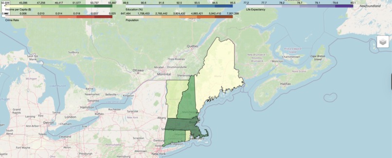
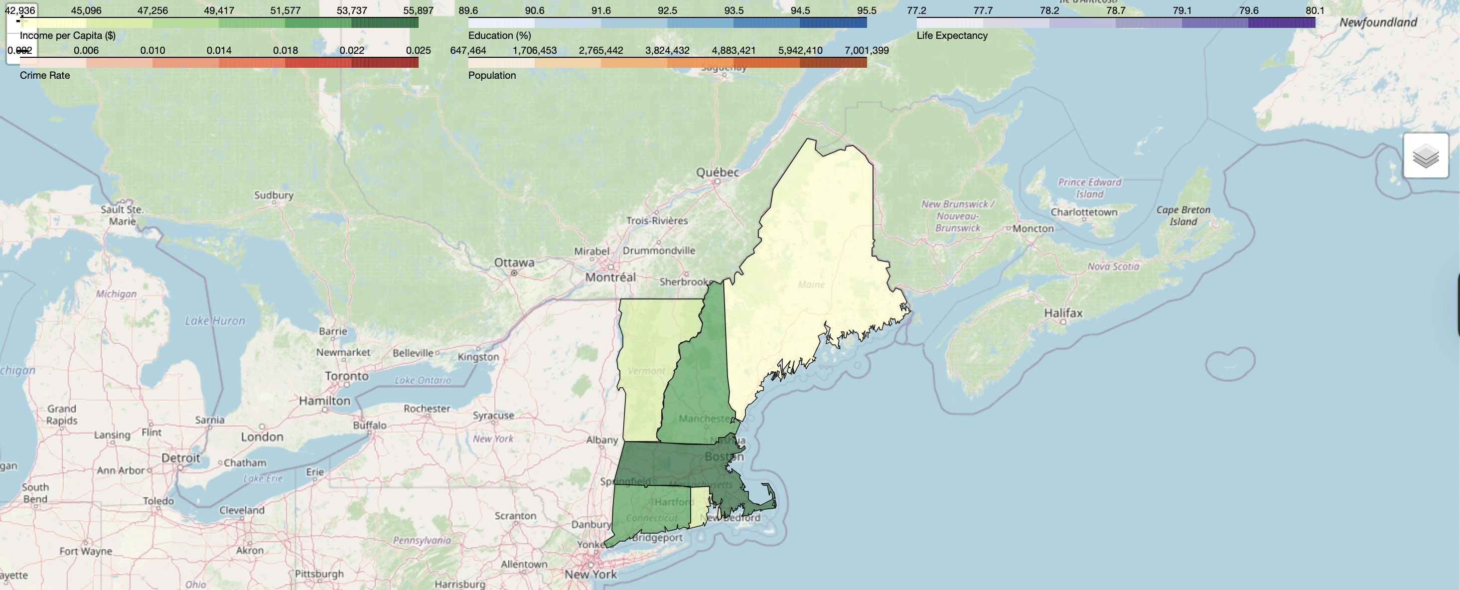
Map of all New England States
-

QR Code for the App
-

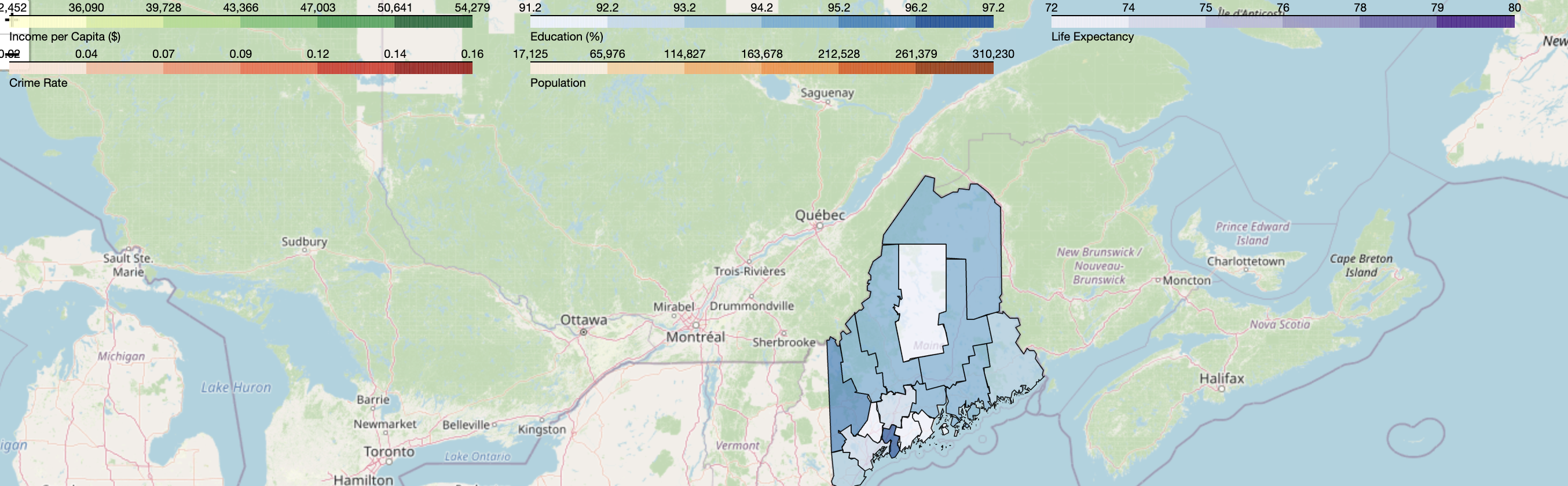
Map of the counties of Maine based on Education
-

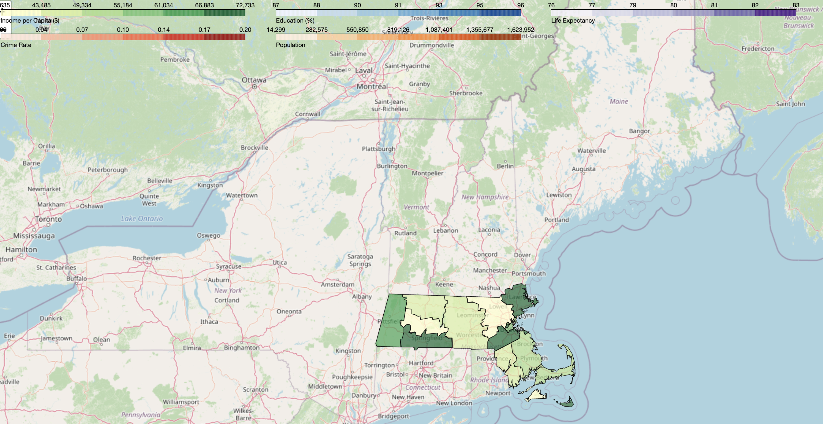
Massachusetts County Map colored based on Income
-

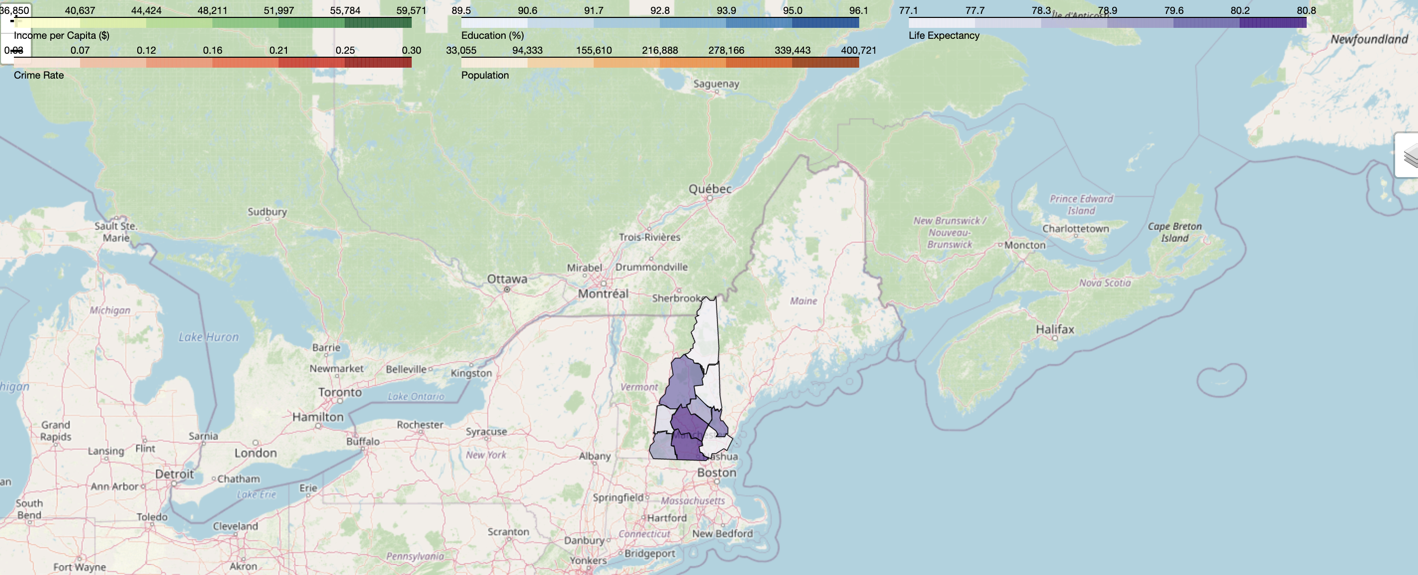
New Hampshire Counties colored based on Healthcare
-
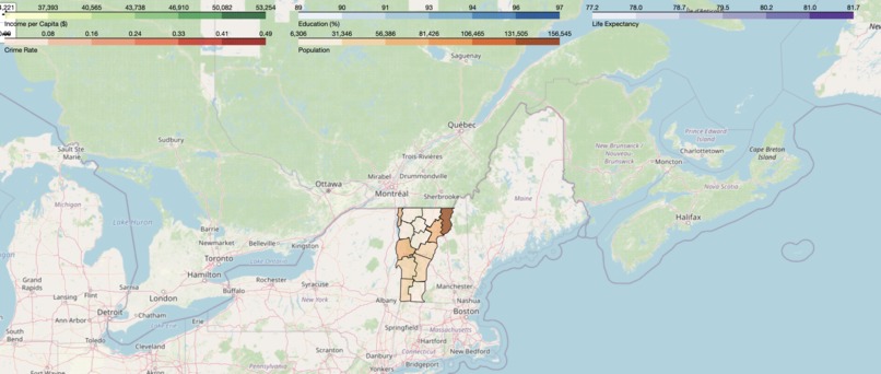
Vermont Counties colored based on population
-
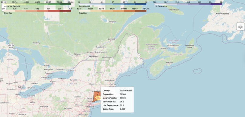
Connecticut Counties colored based on crime
-

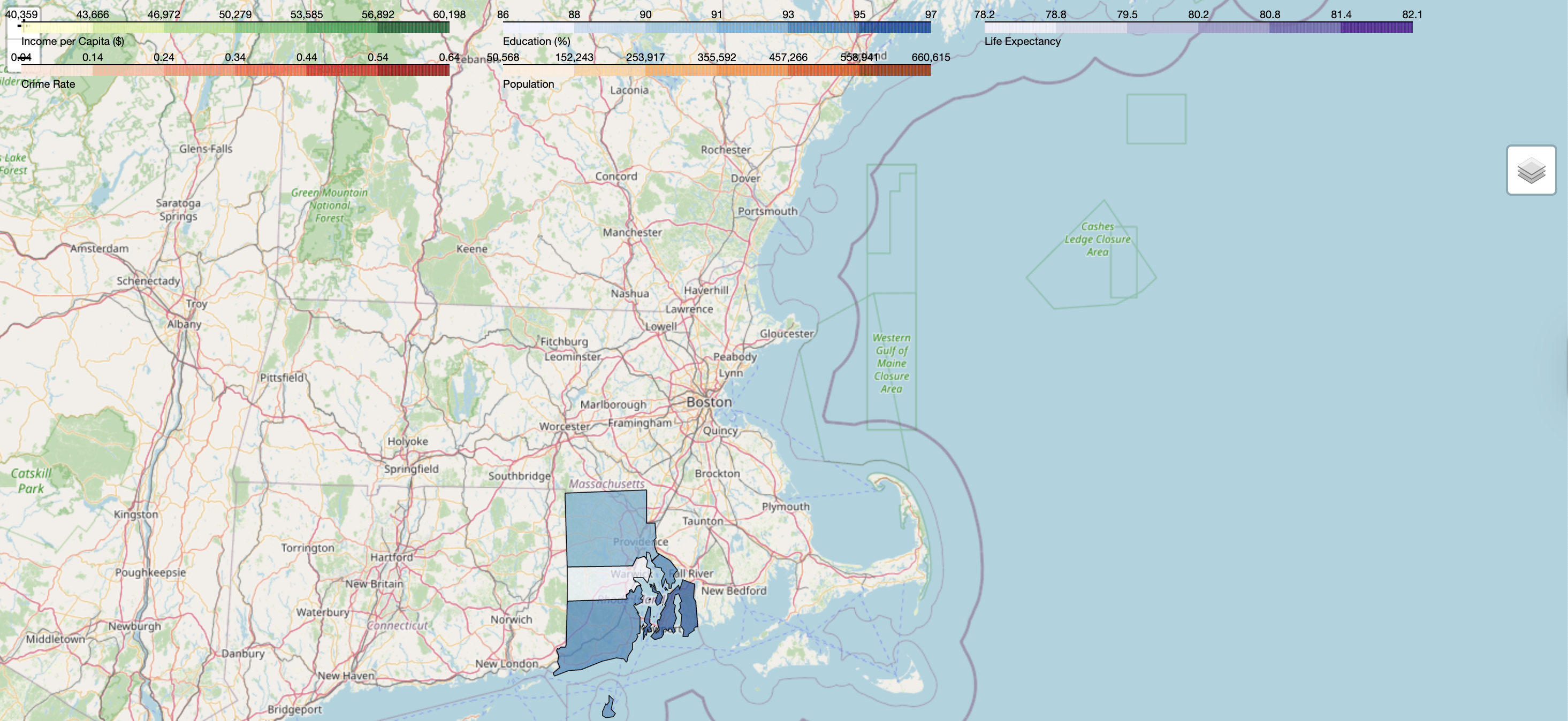
Rhode Island colored based on Education


Inspiration
New England stands out as one of the most desirable regions in the United States, known for its high living standards and quality of life. However, when it comes to choosing where to settle down, to the best state or even the right county, the process can quickly turn into a maze of Google searches and scattered data. That’s where NEWISE_GIS steps in.
This innovative platform visualizes the performance of New England’s states and counties across key parameters such as income, education, crime rates, educational attainment, and population. With NEWISE_GIS, users can easily explore and compare regions through intuitive visualizations, gaining a clear, data-driven understanding of how each area measures up in the factors that matter most.
Challenges
The following challenges were faced by us
- Due to the government shutdown, we faced initial difficulty in getting the census data to be used to do the maps
- Adding the clickable Javascript functionalities was an extreme tussle
- Widget functioning was another issue that was resolved in the process as we used javascript to resolve it.
Built With
- css
- figma
- folium
- geopandas
- html
- javascript
- python

Log in or sign up for Devpost to join the conversation.