Inspiration
I come from Rutgers University, where starting, it was very hard to navigate around campus. The reason being was that the buses at Rutgers were not integrated into Google Maps' API. Therefore, it would be constant switching between the Rutgers mobile bus app and google maps to get to my freshman year classes. So I want to manipulate NYC subway data in preparation for a new and improved Rutgers mobile bus app
What it does
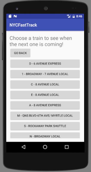
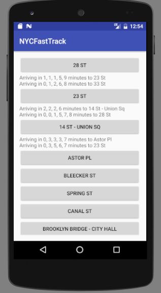
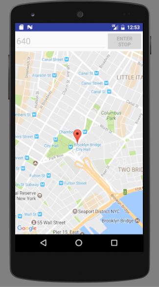
It calculates when the nearest trains will arrive at stops as well as provide a live feed of NYC subway.
How I built it
Android studio, MTA APIs, Google APIs
Challenges I ran into
Time, didn't get to finish the main part that was not mentioned here
Accomplishments that I'm proud of
Parsing all that complicated GTFS data.
What I learned
A lot about google maps and transit APIs
What's next for New York Fast Track
Graph algorithms

Log in or sign up for Devpost to join the conversation.