Assisting with disaster relief projects, coordinating medical personel,supplies, and infastructure coordination
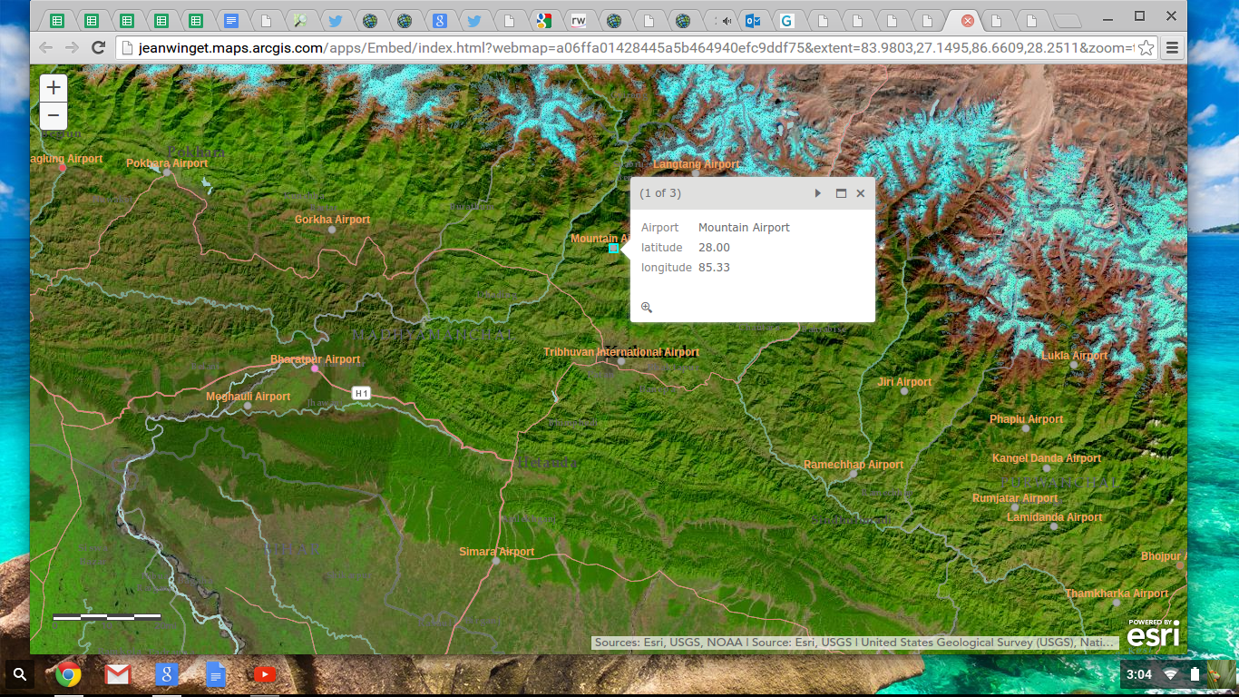
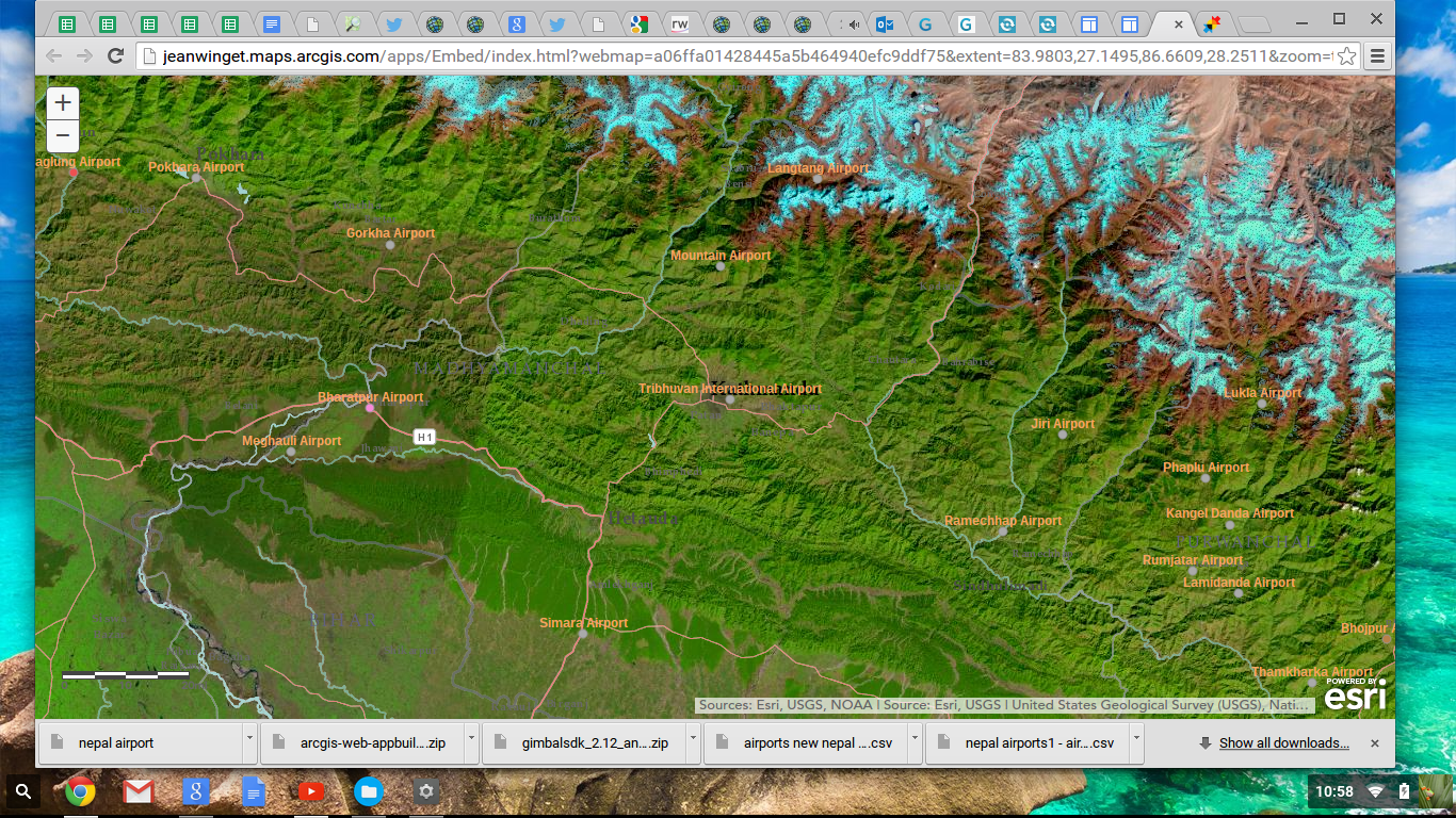
Receive field data from several sources like twitter,nexmo, or gimbal, translate and verify data using esri mapping apps.
Communications from field to data delivery. This will need more work to parse and que data for lonf term development. I created manual fields this time.
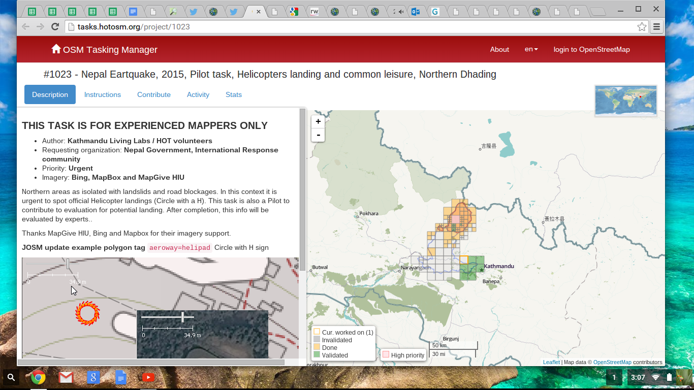
The depth and integrity of the map. I received an twitter request for helicopter landing areas, I was able to set up the criteria and map airport areas that may comply with the helicopter landing. This will save many injured people from long hours of travel if the helicopter landing sites are available.
It is possible to link many levels of communication to assists in all types of research and quantification of data.
What's next for Nepal Airports ESRI Map aap: Move closer to the call in capabilities with data uploads to the map data points. More indepth maps and scenario testing using the Esri mapping api's.


Log in or sign up for Devpost to join the conversation.