-
-

-

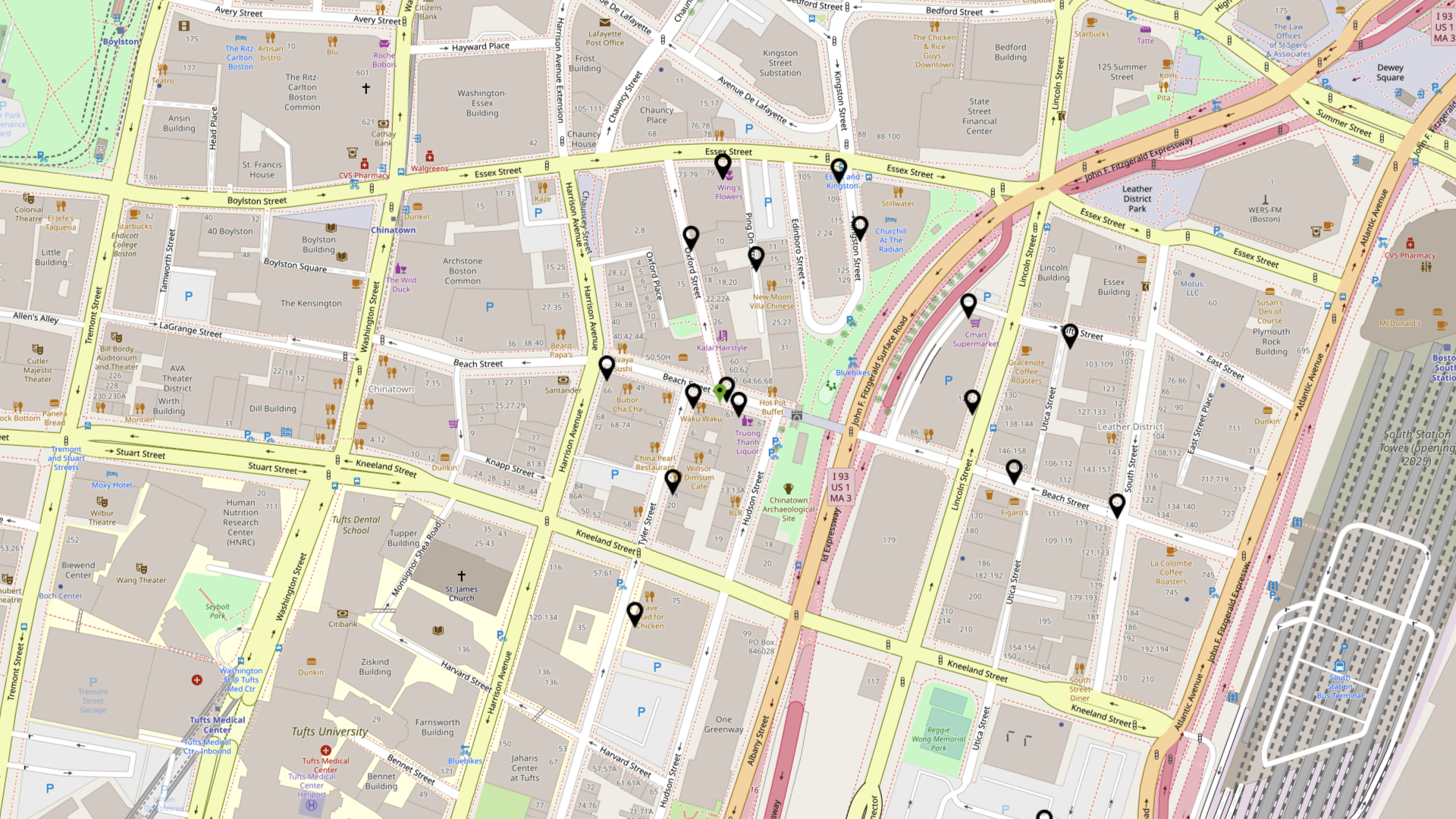
Main interface of the app

Inspiration
One of our teammates was talking about how they were walking on downtown Boston with some empty bubble tea cups and they couldn't find a recycling bin to throw them away, and how they wished there was an easy, accessible way to find out the bins nearby.
What it does
This app helps you find nearby recycling and trash bins, at walking distance, so you can avoid walking around with unwanted trash in hand. It is specially useful for people that like to hang out while going through the city, or if they're in a park and can't find a bin near them.
How we built it
We used React for the frontend, leveraging on leaflet and react-leaflet for the map display. For the backend, we're using Flask as our API, and sqlite3 for our database connections.
Challenges we ran into
We would've liked to add more features to the application, but in the process of learning new tools, and just dealing with life things, we had ran out of time and had to cut our project short. For example, we wanted to originally use Google Maps, through the package google-maps-react, but this package not compatible with the latest React version. From there, we went with google-map-react but we weren't able to make it work either. Finally, that's where we landed with the Leaflet alternative!
Accomplishments that we're proud of
We really liked how the map looked!
What we learned
We learned how Flask works, how to make database connections patterns with Flask and sqlite3 (we had to connect the database per request, because each database connection can only spawn a cursor on the same thread that it is created).
What's next for Nearby Disposals
We'd like to add a user login system and "gameify" our app with an exp system, a "disposal" score (name TBD), a leaderboard to check your score against nearby users. We can handle most of this with Firebase, so we have a vision on how to continue with the project.
As of now, we're using mock data, which is not really accurate but rather representative of how the app would look. To solve this, we were thinking on taking scans of an area and running them through a model that marks bins in an image, then because each scan has a lat and lon that they're covering, we can easily map the x/y coordinates given back by the model to actual lat/lon coordinates. Lastly, we'd be able to leverage the help of our own users! They'd be able to mark a spot in the map and report that there's a bin that doesn't show up in the map. Initially, we'd be checking these coordinates manually but eventually, as the model learns more, we'll be able to automatize this process. We can then award users for marking missing bins with, for example, experience points!
We really like our idea, but most importantly had fun while working on it together. We just wish we had a tad bit more time though.

Log in or sign up for Devpost to join the conversation.