-
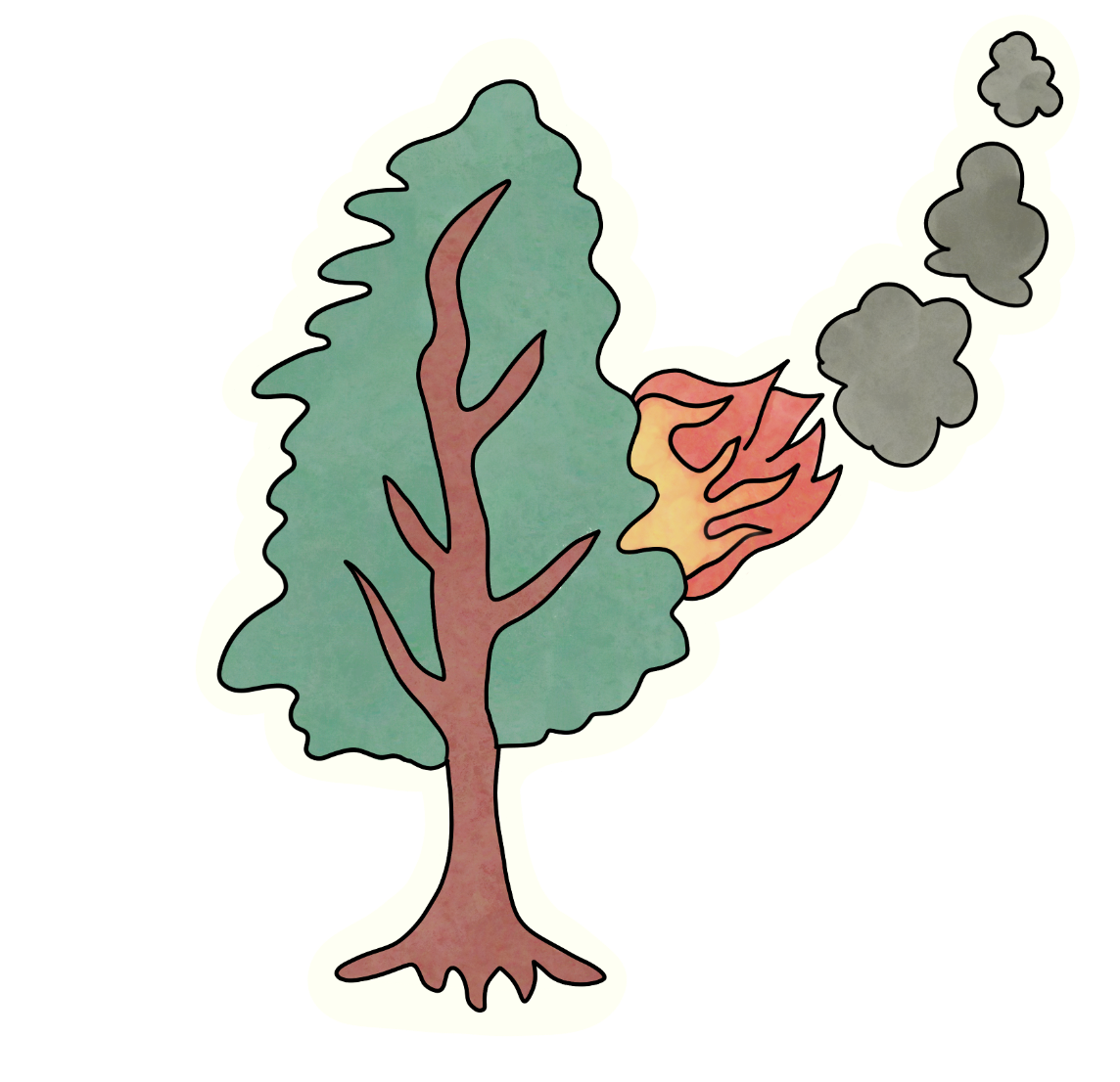
Project logo
-
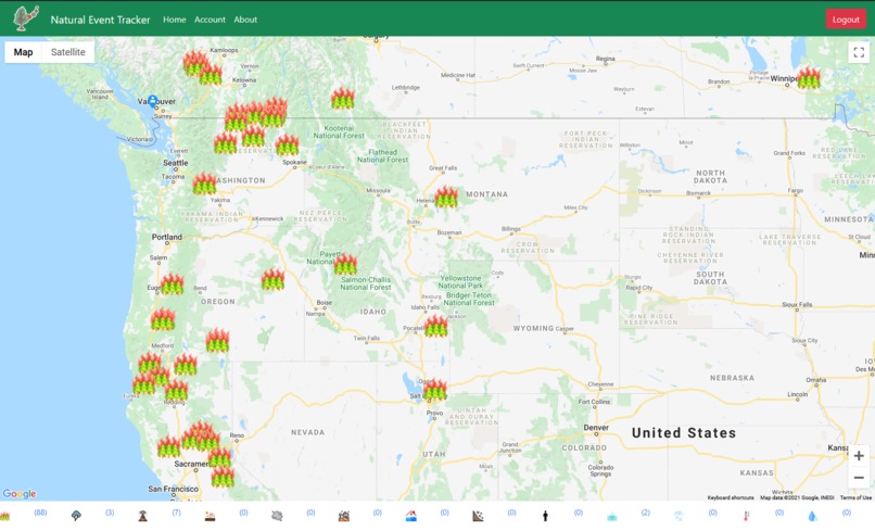
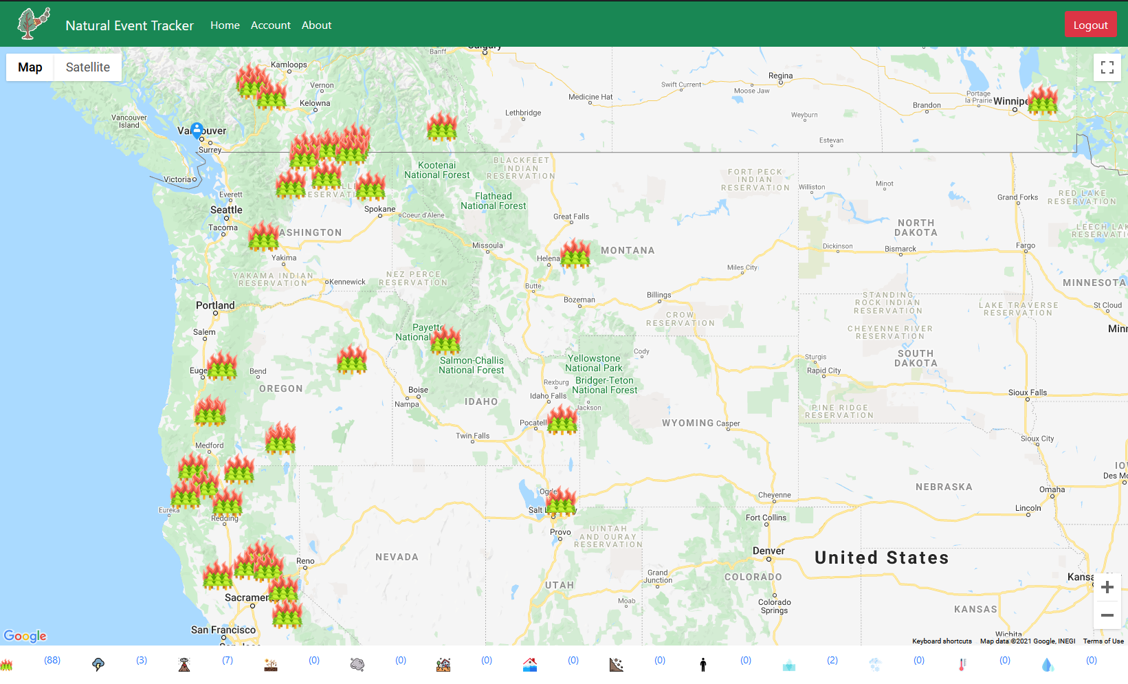
Examples of our map
-
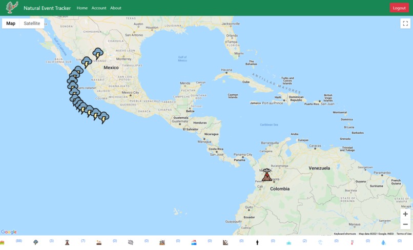
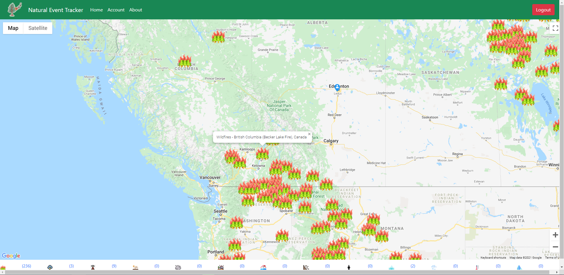
Examples of our map
-
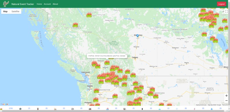
Icons show more info when clicked
-
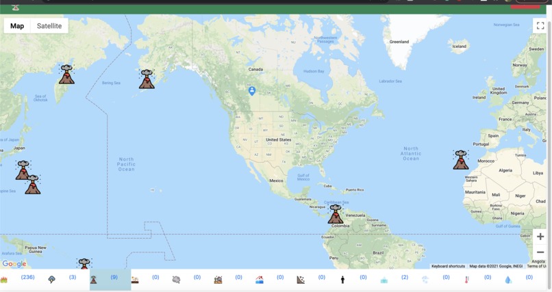
Map filtered to only show volcanoes
-
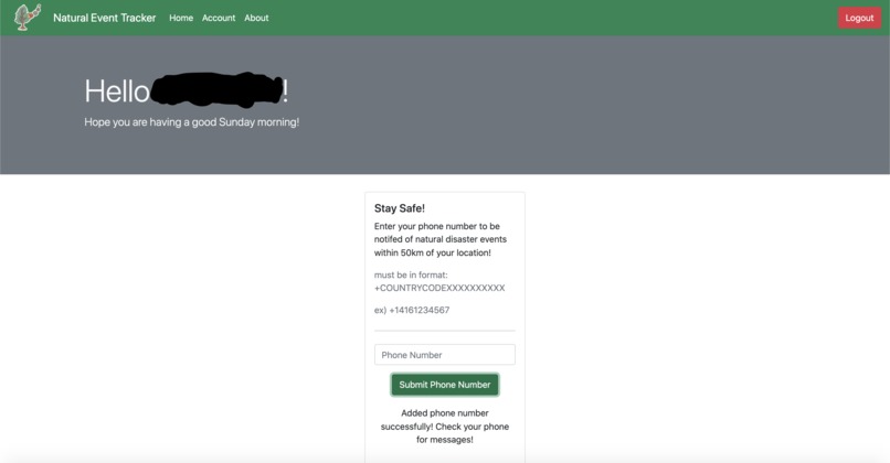
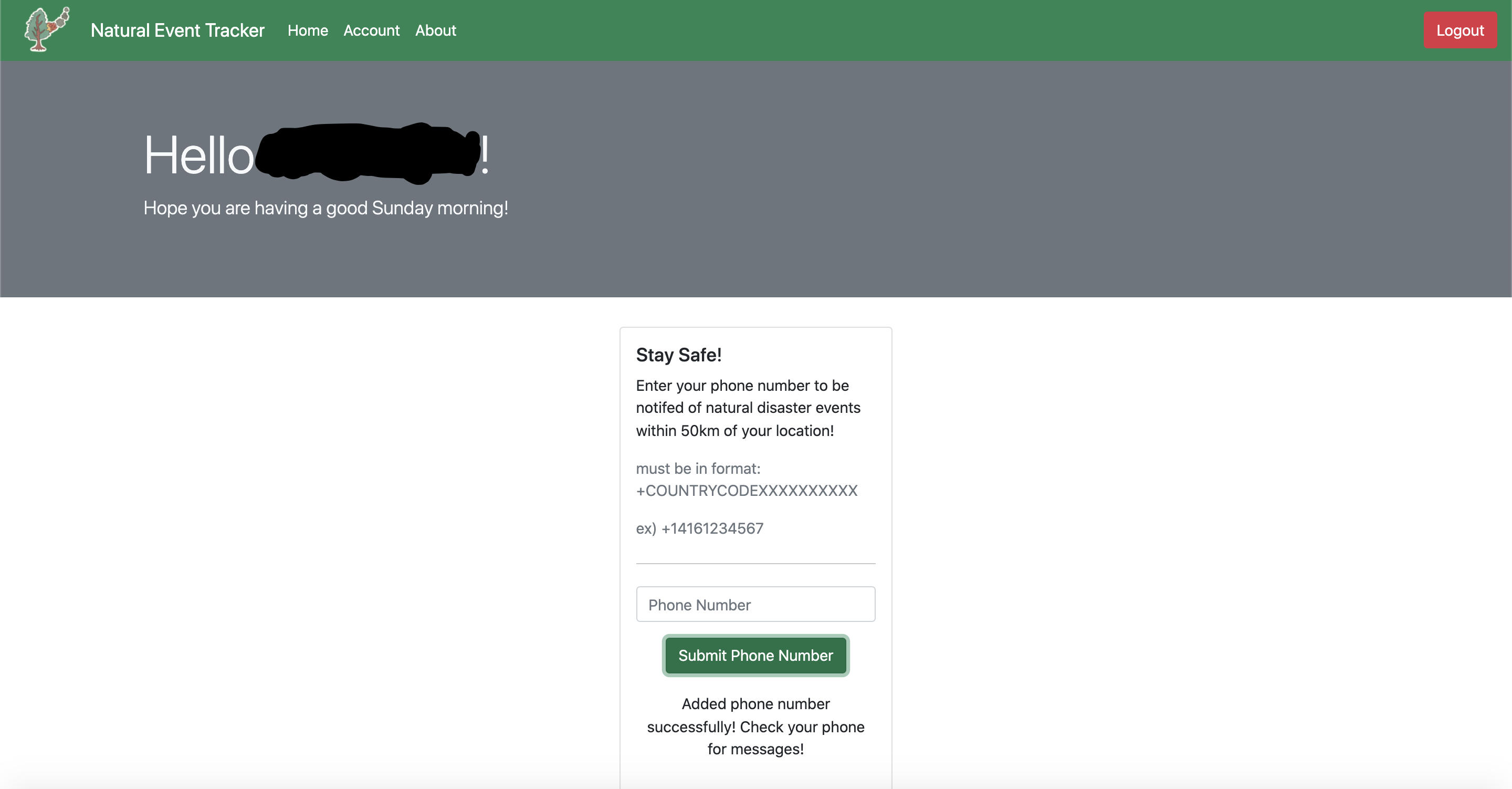
Where users can sign up for text message alerts
-
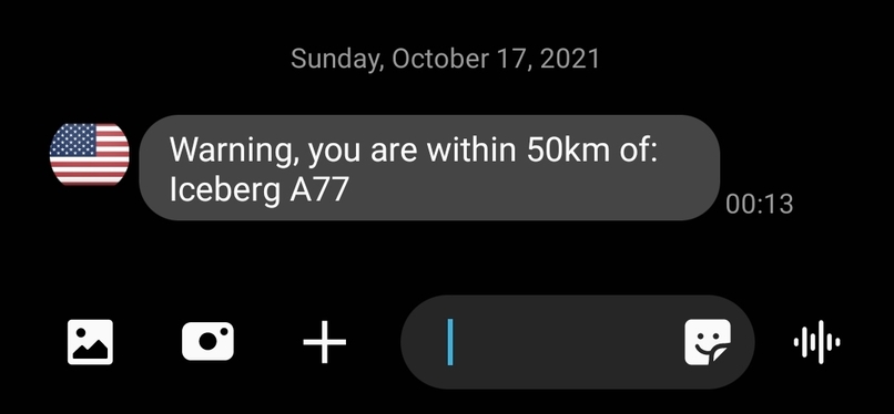
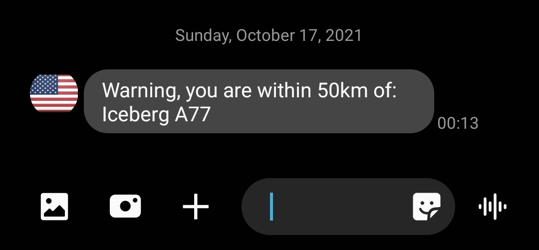
Example of a warning message sent by Twilio
-

Login page
-
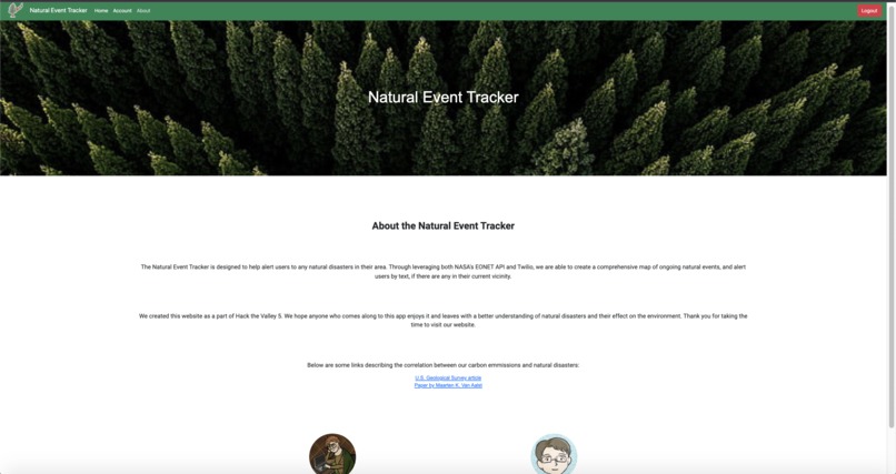
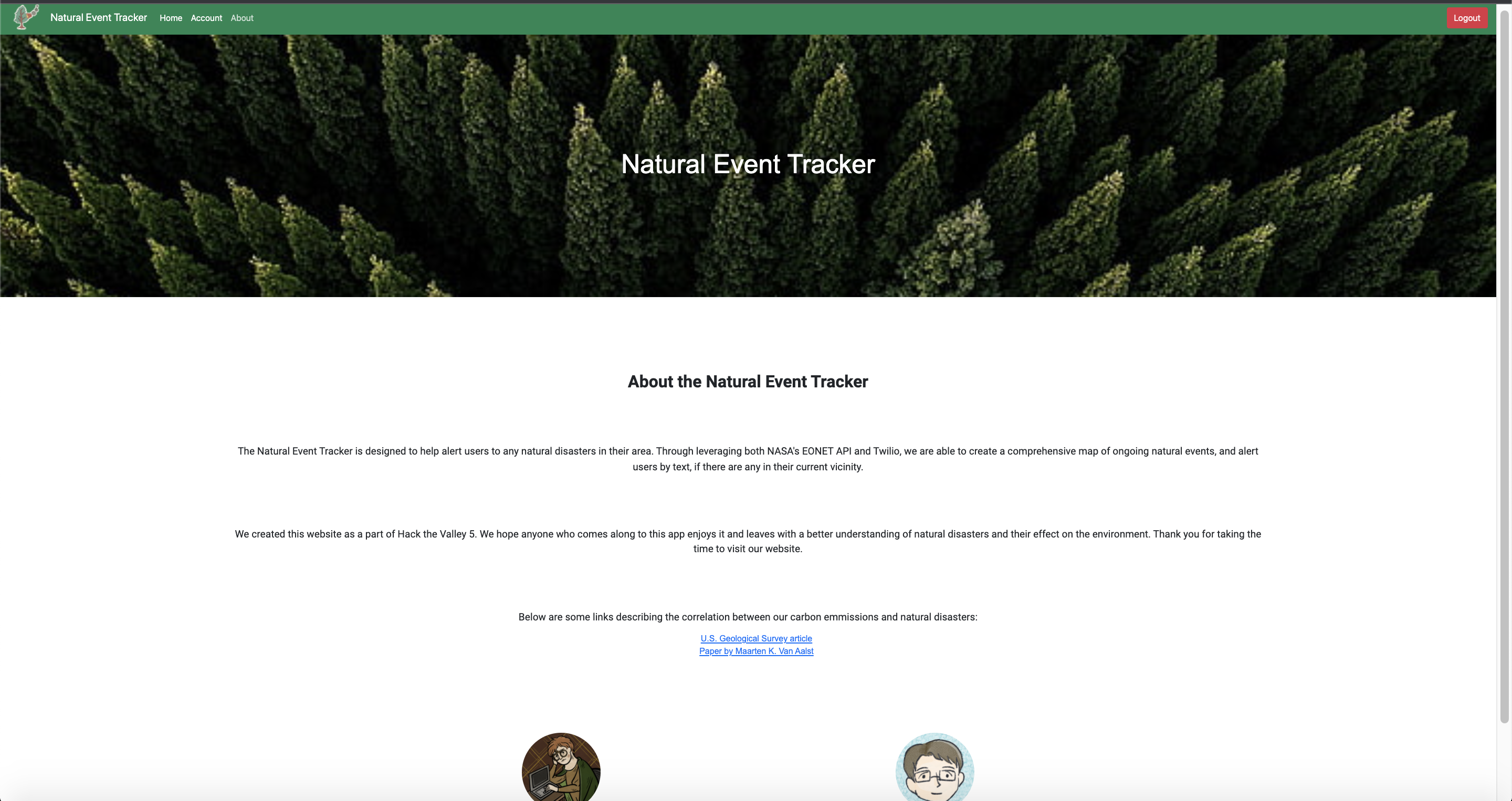
About page


Inspiration
With the effects of climate change becoming more and more apparent, we wanted to make a tool that allows users to stay informed on current climate events and stay safe by being warned of nearby climate warnings.
What it does
Our web app has two functions. One of the functions is to show a map of the entire world that displays markers on locations of current climate events like hurricanes, wildfires, etc. The other function allows users to submit their phone numbers to us, which subscribes the user to regular SMS updates through Twilio if there are any dangerous climate events in their vicinity. This SMS update is sent regardless of whether the user has the app open or not, allowing users to be sure that they will get the latest updates in case of any severe or dangerous weather patterns.
How we built it
We used Angular to build our frontend. With that, we used the Google Maps API to show the world map along with markers, with information we got from our server. The server gets this climate data from the NASA EONET API. The server also uses Twilio along with Google Firebase to allow users to sign up and receive text message updates about severe climate events in their vicinity (within 50km).
Challenges we ran into
For the front end, one of the biggest challenges was the markers on the map. Not only, did we need to place markers on many different climate event locations, but we wanted the markers to have different icons based on weather events. We also wanted to be able to filter the marker types for a better user experience. For the back end, we had challenges to figure out Twilio to be able to text users, Google firebase for user sign-in, and MongoDB for database operation. Using these tools was a challenge at first because this was our first time using these tools. We also ran into problems trying to accurately calculate a user's vicinity to current events due to the complex nature of geographical math, but after a lot of number crunching, and the use of a helpful library, we were accurately able to determine if any given event is within 50km of a users position based solely on the coordiantes.
Accomplishments that we're proud of
We are really proud to make an app that not only informs users but can also help them in dangerous situations. We are also proud of ourselves for finding solutions to the tough technical challenges we ran into.
What we learned
We learned how to use all the different tools that we used for the first time while making this project. We also refined our front-end and back-end experience and knowledge.
What's next for Natural Event Tracker
We want to perhaps make the map run faster and have more features for the user, like more information, etc. We also are interested in finding more ways to help our users stay safer during future climate events that they may experience.


Log in or sign up for Devpost to join the conversation.