-
-

Navigation Bar – Features the app title and a toggle for Newbie Mode, enabling detailed, beginner-friendly instructions.
-
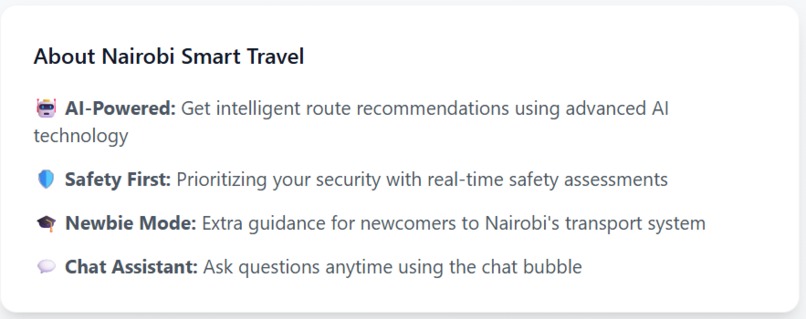
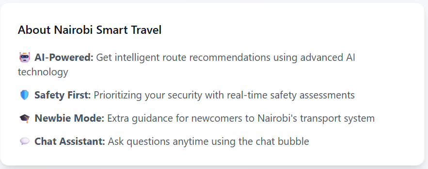
About Section – Brief description of the app’s mission, features, and how it enhances safe navigation in Nairobi.
-
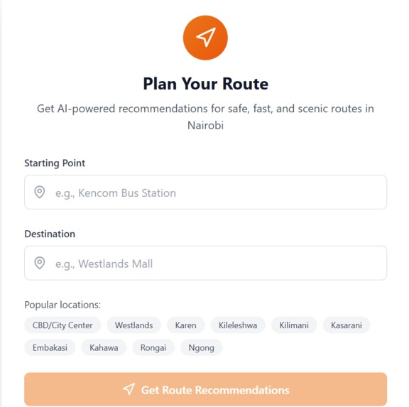
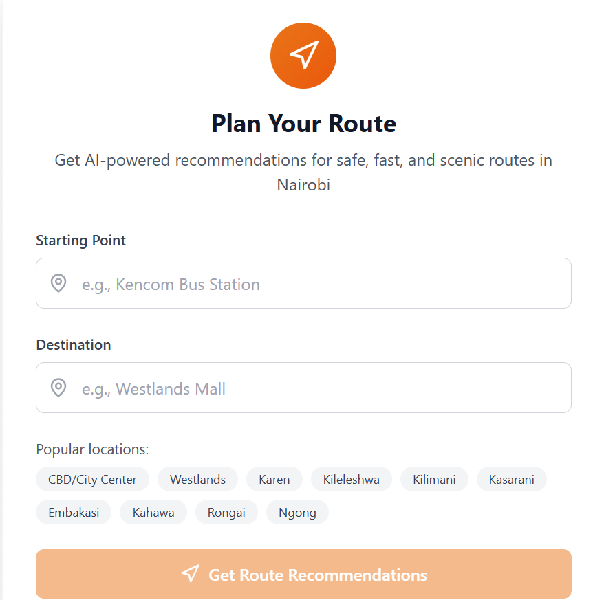
Route Input Form – Users enter their starting point and destination to generate custom route suggestions.
-

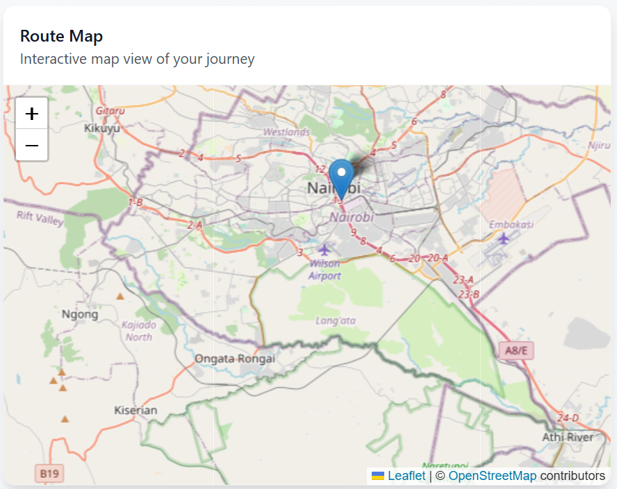
Interactive Map Section – Visual display of routes, landmarks, and safety indicators.

💡 Inspiration Nairobi is a vibrant city, but navigating it can be overwhelming — especially for newcomers. Many people rely on informal transport systems like matatus, walk through unfamiliar streets, and face concerns about safety and getting lost. We were inspired to build an AI-powered assistant that not only provides directions but offers local, safety-aware guidance and plain-language explanations to make Nairobi travel smarter and safer.
🧠 What It Does The Nairobi Smart Travel Assistant is a responsive web app that:
Allows users to input a starting point and destination
Uses the Gemini API to:
Explain safe and optimized routes
Answer user travel questions like “How do I get from Archives to Westlands safely?”
Includes a chat assistant UI to interact with the AI in real-time
Features a “Newbie Mode” that gives extra guidance using local landmarks, stage names, and tips for matatu users
Designed as a progressive web app (PWA) for mobile and desktop use
🔨 How We Built It Built with React.js and Tailwind CSS for fast, responsive design
Integrated Gemini API for smart route descriptions and conversational support
Used Leaflet.js for the map interface (with future Mapbox upgrades planned)
Hosted on Vercel for seamless deployment
All AI logic powered solely by Gemini (no OpenAI dependencies)
🚧 Challenges We Ran Into Designing relevant Gemini prompts for Nairobi-specific travel questions
Lacking access to detailed Nairobi safety datasets — we worked around this using community-driven logic and assumed risk levels
Ensuring the chat interface felt natural and helpful without overwhelming new users
Limited real-time geolocation support due to lack of an API for matatu routes
🏆 Accomplishments That We're Proud Of Built a fully working AI assistant using only the Gemini API in under a few days
Created a simple but powerful experience for both residents and newcomers
Designed the app to be inclusive, intuitive, and lightweight — with no app download needed
Made the app modular and ready to integrate future data and real-time APIs
📚 What We Learned How to integrate Gemini API effectively into real-world navigation use cases
The importance of localized UX design — small additions like “Newbie Mode” made a big difference
How AI can help bridge information gaps in low-data environments like informal transport systems
🔮 What's Next for Nairobi Smart Travel Assistant Integrate live matatu route data and fare estimates
Add safety heatmaps based on crowdsourced and public data
Launch an offline mode for areas with poor internet connectivity
Partner with Nairobi County, NGOs, and transport SACCOs to scale adoption
Expand to other Kenyan cities like Kisumu and Mombasa


Log in or sign up for Devpost to join the conversation.