-
-
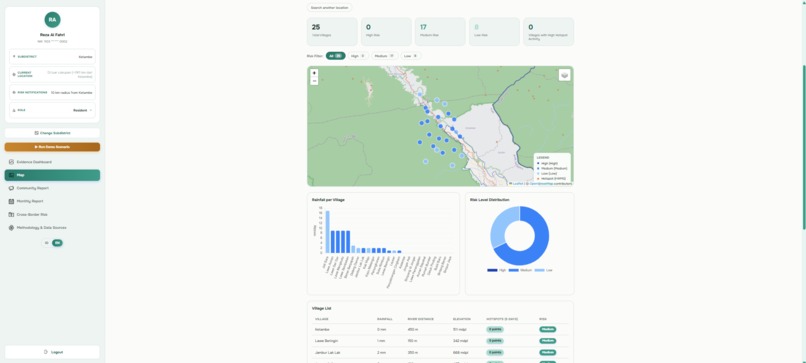
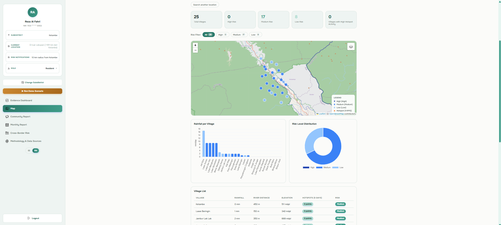
Screenshot of the map page
Nagari Watch
The Problem
Environmental risks are often difficult for communities to understand because rainfall, satellite observations, and ground reports are scattered across different sources. People shouldn't have to constantly check multiple platforms to know when a situation is becoming risky.
The Solution
Nagari Watch brings environmental indicators, satellite observations, and community reports into one platform to provide transparent and explainable early-risk information. The risk level is calculated using a rule-based system with thresholds, so users can see why an area is classified as LOW, MEDIUM, or HIGH RISK.
AI as an Interpretation Tool
Gemini AI combines the current risk data with community reports to generate an easy-to-understand situation summary. AI turns existing evidence into clearer information for communities.
Key Features
- Explainable environmental risk assessment
- Satellite-based environmental observations
- Community reporting
- AI-generated situation summaries
- Geographic risk visualization
Impact
Nagari Watch aims to help communities, researchers, NGOs, and civil society understand emerging environmental risks faster and make fragmented information easier to act on.
Future Potential
I aim to develop additional environmental data sources such as river levels, soil moisture, historical flood records, improved anomaly detection, community validation, notifications, and more accessible warning channels for low-connectivity areas.
AI Disclosure
The idea of Nagari Watch was planned and designed by me. Claude was used as a coding assistant for code suggestions, debugging, and guidance. ChatGPT was used for brainstorming, grammar/writing polishing, data planning and searching. Gemini API is integrated into the final product as the AI interpretation layer.
References
BMKG. Analisis Laju Perubahan Curah Hujan. link Peraturan Menteri PUPR No. 28/PRT/M/2015 tentang Penetapan Garis Sempadan Sungai dan Garis Sempadan Danau. link- NASA FIRMS / LANCE. VIIRS 375m Active Fire Product - FAQ link Open-Meteo. Elevation API documentation. link OpenStreetMap Wiki. Overpass API. link
Built With
- chart.js
- cloudflare-workers
- leaflet.js
- nasa-firms
- open-meteo
- openstreetmap/overpass
- react
- react-leaflet
- vite

Log in or sign up for Devpost to join the conversation.