Inspiration
Inspired by the environmental transformation of Terra Nil and the readable planning systems of Cities: Skylines, MyTerrain asks: what would ten simulated years of your land-use decisions leave behind?
What it does
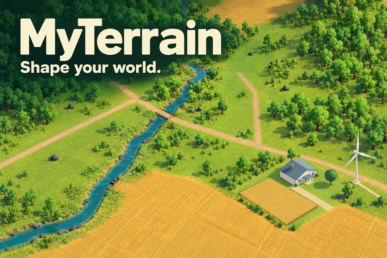
MyTerrain is a browser-based land-use simulator, built for the UNCCD challenge.
The core loop is plan → budget → End Year → see consequences → adapt. You make decisions on what to build on the variety of land plots - and each of those decisions have direct consequences. There are twelve action families, including traditional and regenerative farming, housing, parks, a village center, industry, renewable and non-renewable power, stewardship and wastewater treatment. Projects compete for land and public funds. Construction takes time, upkeep creates future obligations, and benefits depend on whether services actually operate.
You can inspect sites, compare projects, queue a plan and revise it before committing. Once a year is accepted, its choices become part of your community’s history.
Then you can trigger ten-year simulations to compare your future with a no-new-action scenario under the same conditions, so players see what their choices changed. Save, return and replay to compare scenarios and explore another strategy. Resource constraints, such as limited land and public funds, shape every plan.
The terrain is based on direct satellite imagery translated to our game world. Projects, budgets, and outcome rules are simplified, evidence-informed educational scenarios. Outcomes are illustrative, not precise real-world predictions. Wisconsin is our most developed geographic reference; the newer regions combine real terrain with authored land cover and opportunities. The game is not a municipal forecast or a flood-risk assessment.
Accessible by design
Young people shouldn’t need special skills or abilities to take part, so accessibility is built in:
Keyboard controls: WASD and arrow-key navigation, with camera movement blocked while using settings. Low-vision support: 100–200% reading text, scrollable reports, larger map labels, and stronger contrast and focus outlines. Easy settings: available from the opening screen and during play, with saved preferences and reduced motion. Screen-reader support: announcements for important changes, readable current information and a persistent feedback log. Full blind-play controls remain a later step. ElevenLabs voiceover: spoken game reports, with an independent toggle so narration doesn’t overlap a screen reader.
How we built it
We built the game in Unity 6 and C#, using the Universal Render Pipeline, custom terrain and vegetation rendering, and uGUI/TextMeshPro for the interface. It runs in a desktop browser through WebGL and WebAssembly, with the public build hosted on Vercel.
A Python geospatial pipeline preprocesses terrain and map layers into versioned world packs. The Wisconsin landscape draws on USGS elevation, NLCD land cover, and mapped roads and waterways. NumPy, Rasterio, PyProj and Shapely help transform those sources into aligned, playable geometry with documented provenance.
A shared annual simulation owns the budget, project lifecycle, outcomes and saved history. Explicit, documented rules handle construction, upkeep, demand limits and environmental tradeoffs, so assumptions and sources are open to inspection. A bounded reference-storm runoff model adds a water-management comparison without pretending to predict flooding.
We also built an optional .NET service with Google Gemini for yearly narrative summaries. The public game works with labelled offline reports; AI narration is an additional local capability, not a requirement for playing. Optional ElevenLabs voiceover reads reports aloud.
Because the simulation, world packs and rules are modular and documented, an independent group of developers can maintain the game and add regions without rebuilding it. The game is free, with no account required, and built purely for education and public benefit.
Challenges we ran into
The hardest design problem was making tradeoffs meaningful without turning the game into a spreadsheet. We iterated on project previews, budget commitments, short annual reports and a quieter interface that keeps the landscape visible.
Real geographic data also required careful alignment, scale and attribution. We had to distinguish measured terrain from hypothetical parcels and decorative scenery. On the engineering side, dense vegetation and terrain stressed browser rendering, while save/reload and repeated submissions had to preserve exactly the same financial history.
Accomplishments that we’re proud of
Connecting real terrain to a playable ten-year planning loop, from a first proposal to comparison and replay. Making future upkeep and construction delays part of land-use decisions, alongside their immediate price. Supporting multiple strategies instead of reducing success to one combined score. Making credible, understandable consequences: clearly labelled assumptions and a clear line between illustrative outcomes and real-world predictions. Building accessibility into the core experience, from keyboard play and low-vision support to screen-reader announcements and voiceover. Testing accounting, save recovery, project lifecycles and full-game strategies with automated checks and actual Chrome playthroughs. Keeping the public experience accessible: free and playable without an AI key or account.
What we learned
A useful educational game needs understandable consequences as much as attractive scenery. Showing why a choice helped one outcome and constrained another creates a stronger learning opportunity than simply rewarding a “green” action. We also learned to treat browser testing and scientific transparency as part of the product: plausible numbers and a successful Unity Editor run are not enough.
What’s next for MyTerrain
Our next priorities are visual polish, smoother browser performance, and full blind-play controls. We will also playtest with young people and educators.
Educational impact remains something to assess, not something we claim to have proved. Gameplay activity alone isn’t evidence of behavior change, so we plan to assess:
whether players can explain a tradeoff after playing, whether their understanding of land-use consequences improves, using short before-and-after questions, whether they say they intend to take part in local planning.
We also want to improve onboarding and strengthen the regional data and scenario assumptions.
The goal is a free, accessible way to practice thinking about the future of a place, and to carry that learning into real conversations about land-use decisions.

Log in or sign up for Devpost to join the conversation.