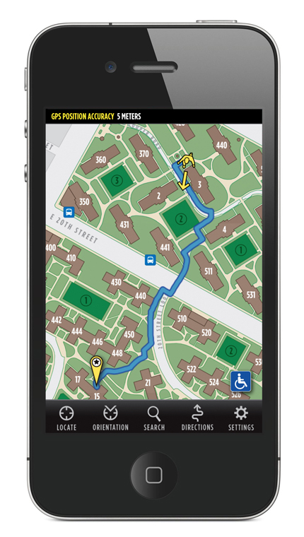
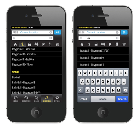
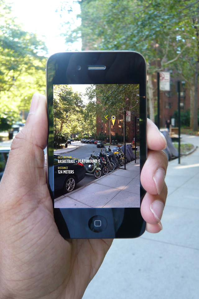
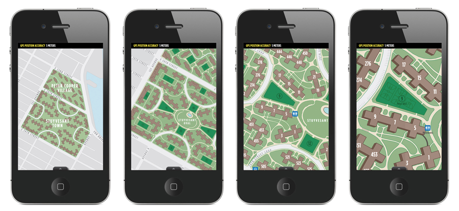
myNav: PCV/ST is a handheld navigation application specifically designed for residents, visitors, and workers of Peter Cooper Village and Stuyvesant Town in New York City. This application untangles the mess that is PCV/ST and allows any user to navigate the complex with ease. Using multiple forms of navigation including a traditional map, augmented reality, and a map the auto-orientates in realtime, this application appeals to all users. This app allows for realtime directional routing on a complex network of pathways from either your current location within the set zone or from any two locations within the complex. Additionally, this application features handicap accessible routes. If you are not located on PCV/ST, activate the 'Test Mode' in 'Settings' to test any of the features. Features:
- Multiple map levels, with varying levels of detail and identification
- Map auto-orientation - see the map in the same direction you are looking!
- Realtime directional routing - Handicap route accessibility - GPS accuracy taskbar and radius ring
- Augmented reality display with distance information
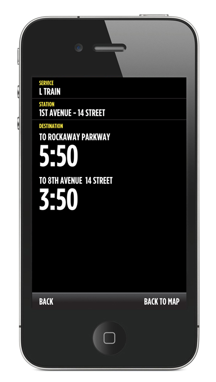
- Transit Information using official MTA information to see when the next scheduled bus or train is arriving!

Log in or sign up for Devpost to join the conversation.