-
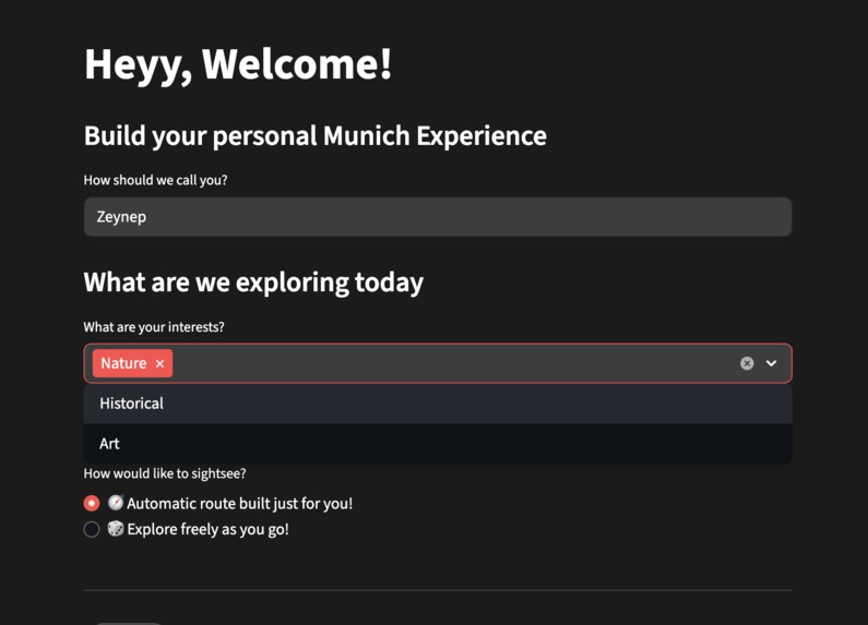
Asking for the interests
-
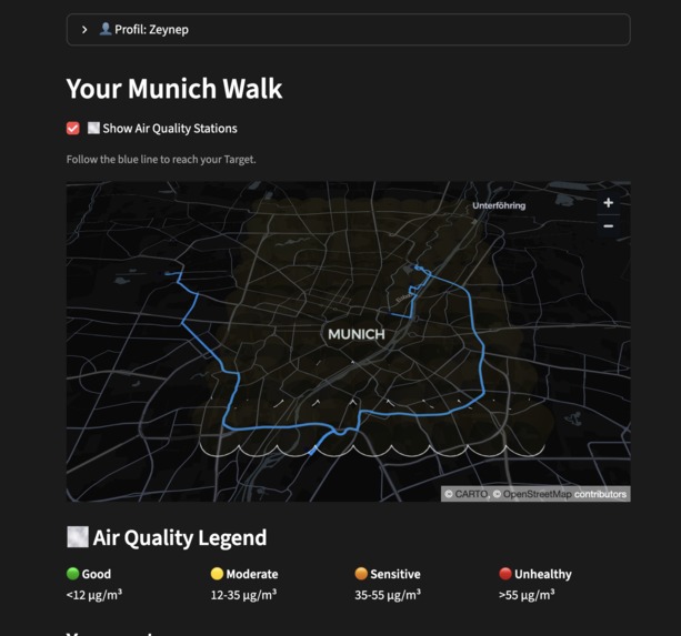
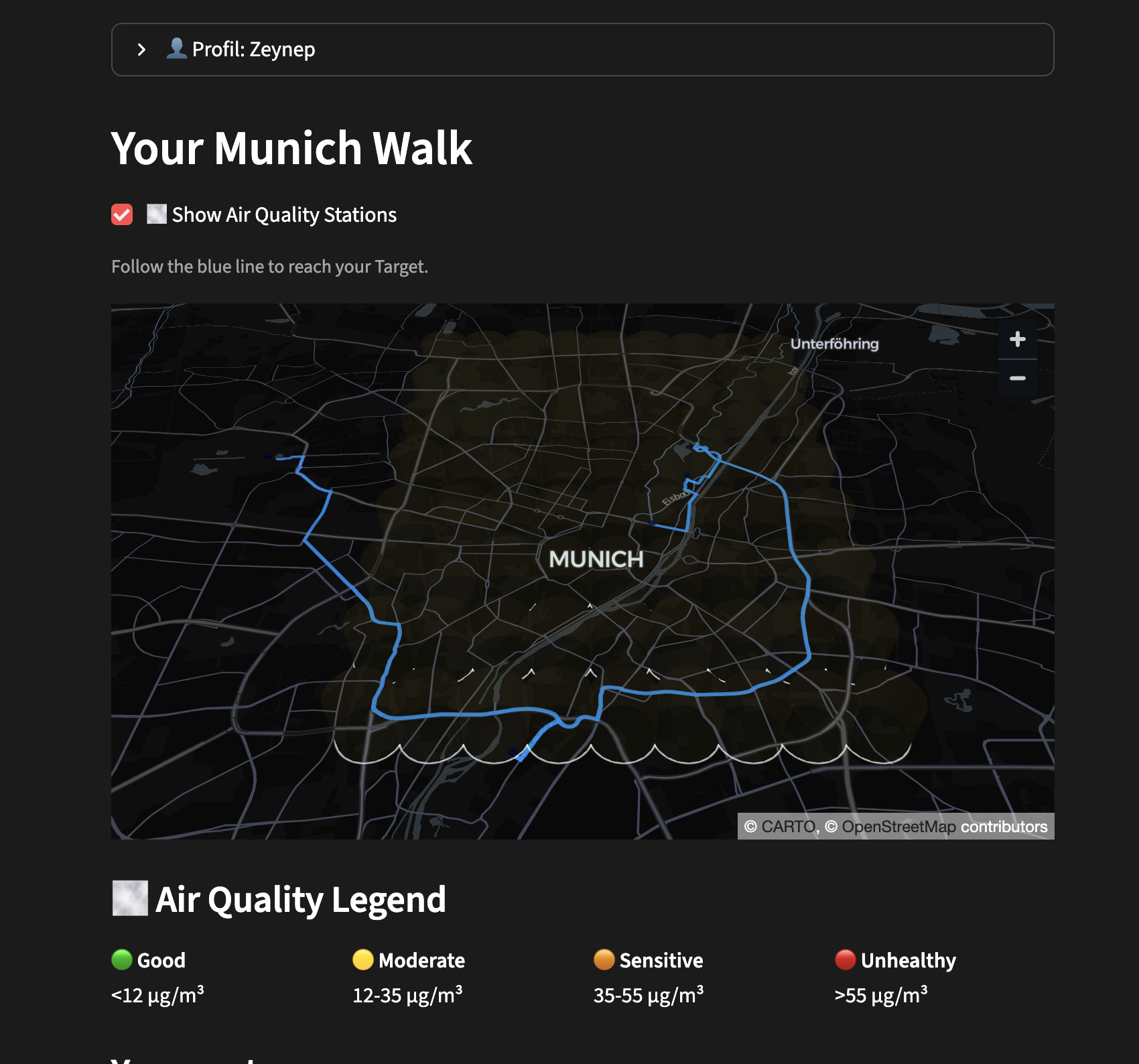
The map interface for guided tour
-
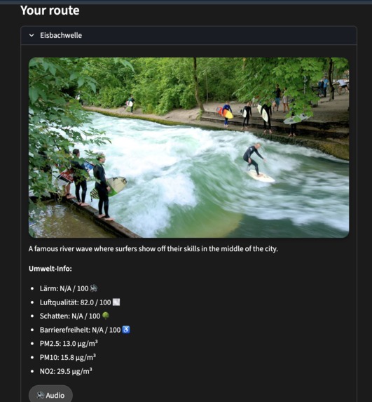
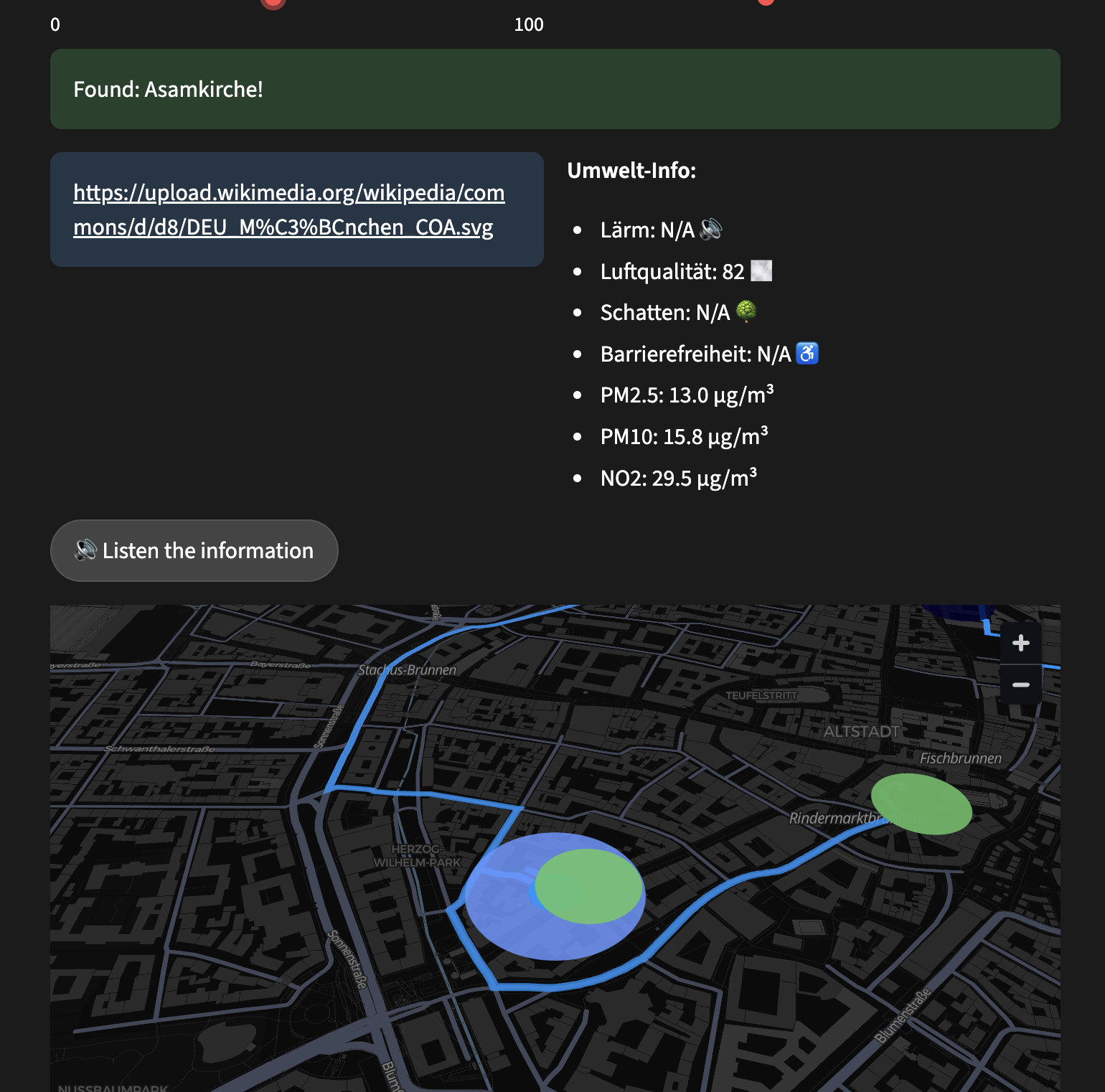
The information for the places that are recommended for you
-
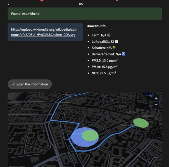
At the spontaneous tour you only get information when you get close to the landmark (exploration!)
-
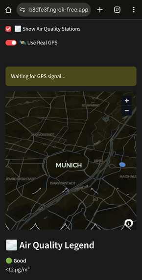
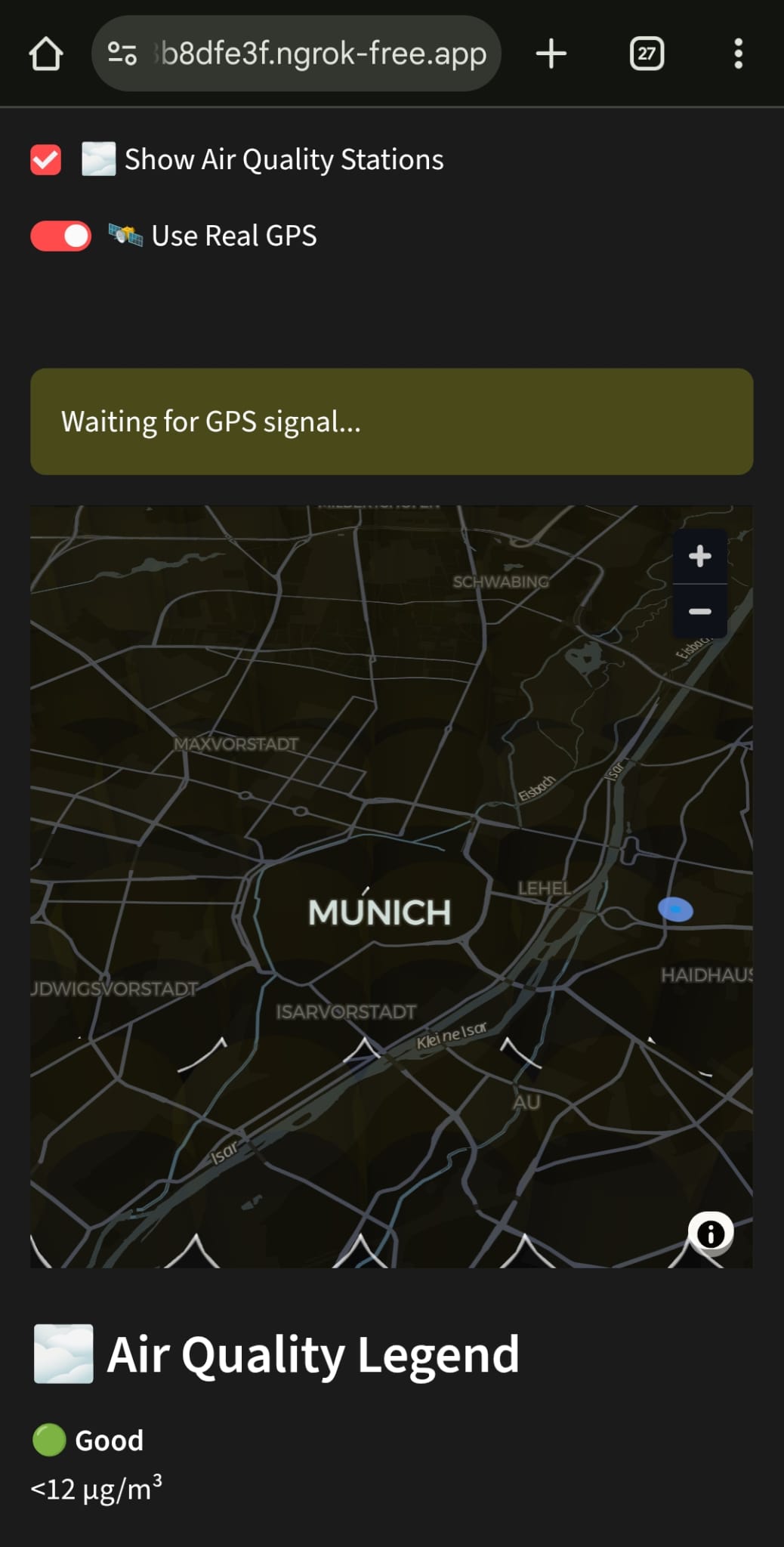
from the mobile view (spontaneous tour)


Our Inspiration
The beautiful city Munich and the beautiful people lives there, that deserve everything.
What it does
It motivates the people to explore the city via creating a route according to the interests of the people and provides information about that place. To integrate it even better to the everyday life we created a spontaneous mode which gives information about the landmarks that are nearby, which allows people to get informations about the city even on the way of work. With this app we aim to entertain the people improve their mental health with promoting walking and giving information about the air pollution, noice pollution. Another aspect we expect to achieve (indirectly) is by making the citizens more informed about their city we are also making them love the city more and this result in more interest/participation in democracy and engagement with the problems about the city.
How we built it
We used python to build the app, streamlit is how we made the website. To use it on the phone with gps we are using ngrok (to make it safe for the os of the phone to share the location info).
Challenges we ran into
Getting live information about the location and putting this information on the map. Getting live gps information, since the user moves continuously (as expected).
Accomplishments that we're proud of
We did put the live gps on the app! We optimized the dot connecting with the greedy algorithm (not optimal but enough for us). Added live information about air pollution
What we learned
You must really love people and dedicate yourself to improve their lives. Your work and thoughts show your heart.
What's next for Munich Maps
The database of the places can and must expand and also the given information can get more. The map can get more creative such as adding little images/doodles on the map about the famous places. UI/UX can get optimized.
Built With
- geodesic
- ngrok
- python
- streamlit

Log in or sign up for Devpost to join the conversation.