-

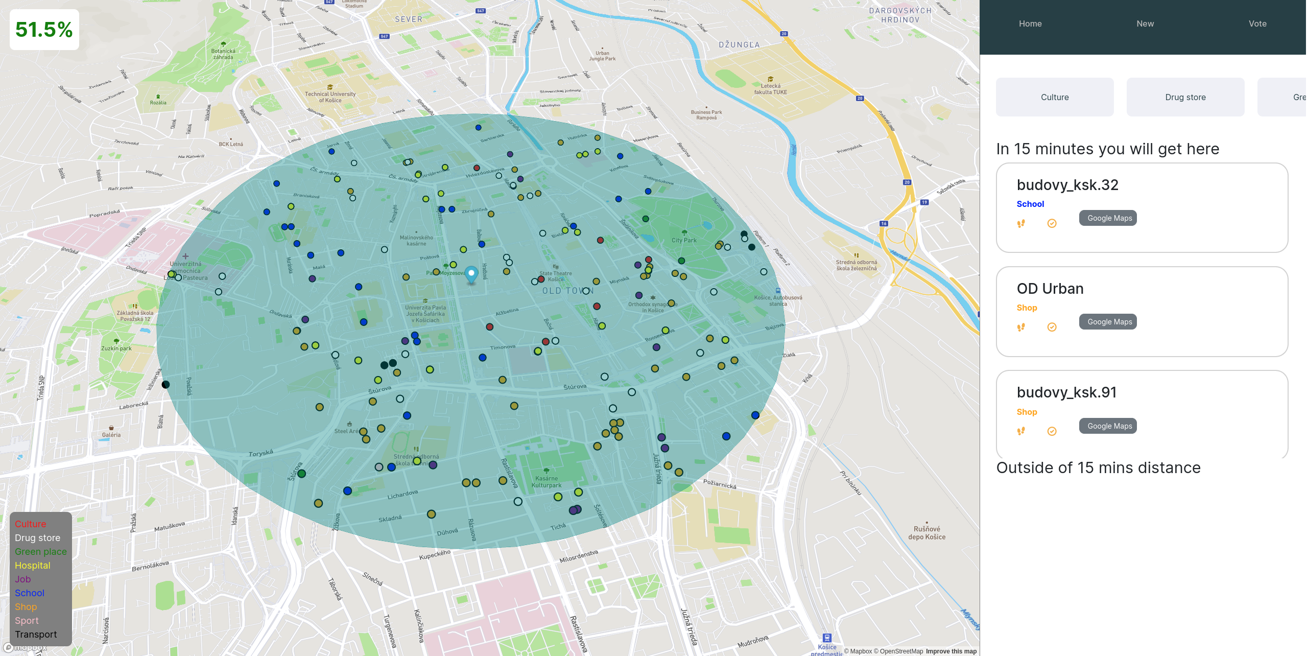
Home - check what is in your 15-min radius.
-
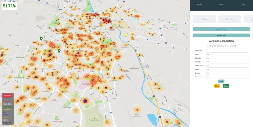
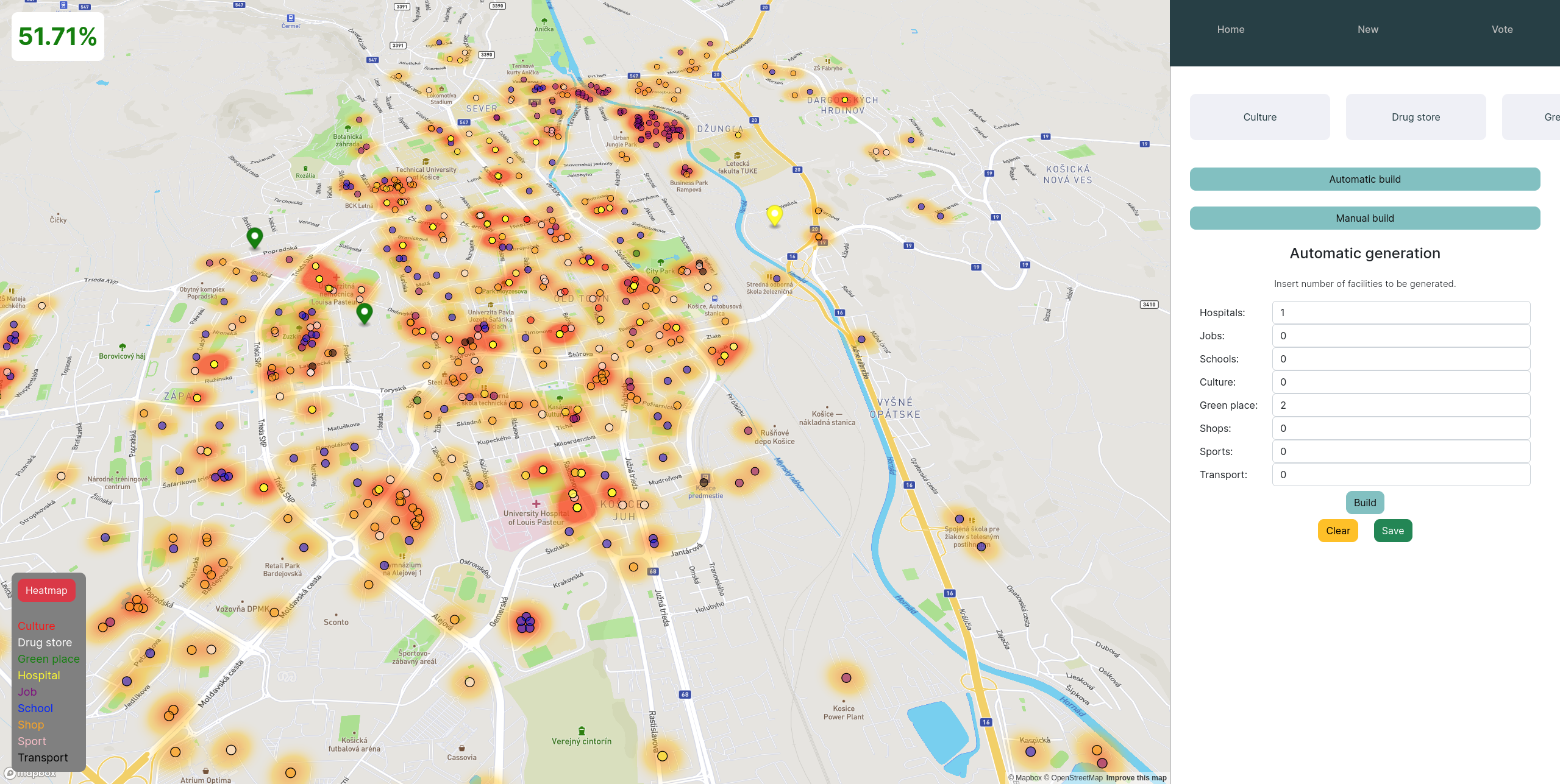
Build - build services at best places.
-
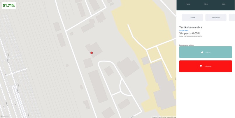
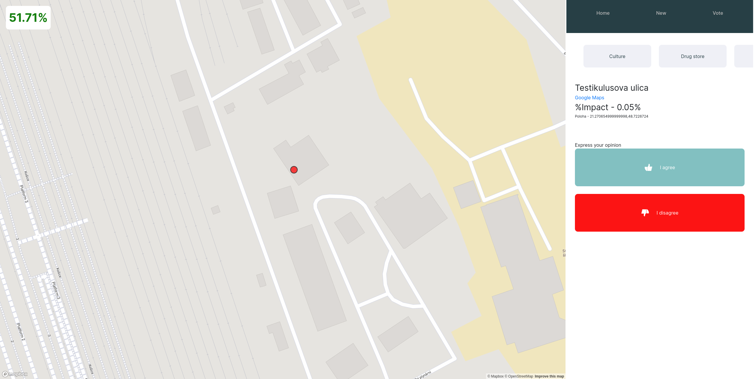
Vote - Let people vote what they want!
Inspiration
Our team was inspired to create a project that could help improve the efficiency and livability of urban environments, with a specific focus on the city of Kosice. We wanted to create a tool that could help city planners and policymakers make informed decisions about future development projects, with an eye towards maximising accessibility and sustainability with 15min city approach.
What it does
Our project, called City Planner, is a data-driven tool for urban planning and development. We have created an interactive map that displays a variety of data layers, including 15-minute service areas, heatmaps of urban activity, and predicted development zones. Using a genetic algorithm, we are able to generate potential development scenarios for the city based on a range of variables, including population density, transportation patterns, and environmental impact.
How we built it
We built City Planner using a variety of data sources and analytical tools. We used data from the city's transportation network, public services, and land use patterns to create our service area and heatmap layers, and developed a custom genetic algorithm to generate development scenarios. We also developed an intuitive web-based interface that allows users to explore the data and interact with the development scenarios in real time.
Challenges we ran into
One of the biggest challenges we faced was collecting and cleaning the necessary data to feed into our model. We also had to navigate a number of technical challenges related to data processing and algorithm development.
Accomplishments that we're proud of
We are extremely proud of the interactive map and user interface we developed, which we believe will be a valuable tool for city planners and policymakers. We are also proud of the accuracy and predictive power of our genetic algorithm, which we believe can help guide future development decisions in a data-driven and sustainable way.
What we learned
Throughout the course of this project, we learned a lot about the complexities and challenges involved in urban planning and development. We also gained valuable experience working with data analysis and machine learning tools, and learned a lot about how to effectively visualize geo data.
What's next for City Planner
In the future, we hope to expand the functionality of City Planner to include additional data layers and analytical tools, including real-time traffic data and environmental impact assessments. Ultimately, we believe that City Planner can serve as a model for data-driven urban planning and development in cities around the world.
Built With
- docker
- fastapi
- figma
- genetic-algorithm
- github
- github-jobs
- machine-learning
- mapbox
- postgis
- postgresql
- python
- react

Log in or sign up for Devpost to join the conversation.