-
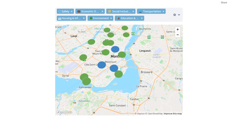
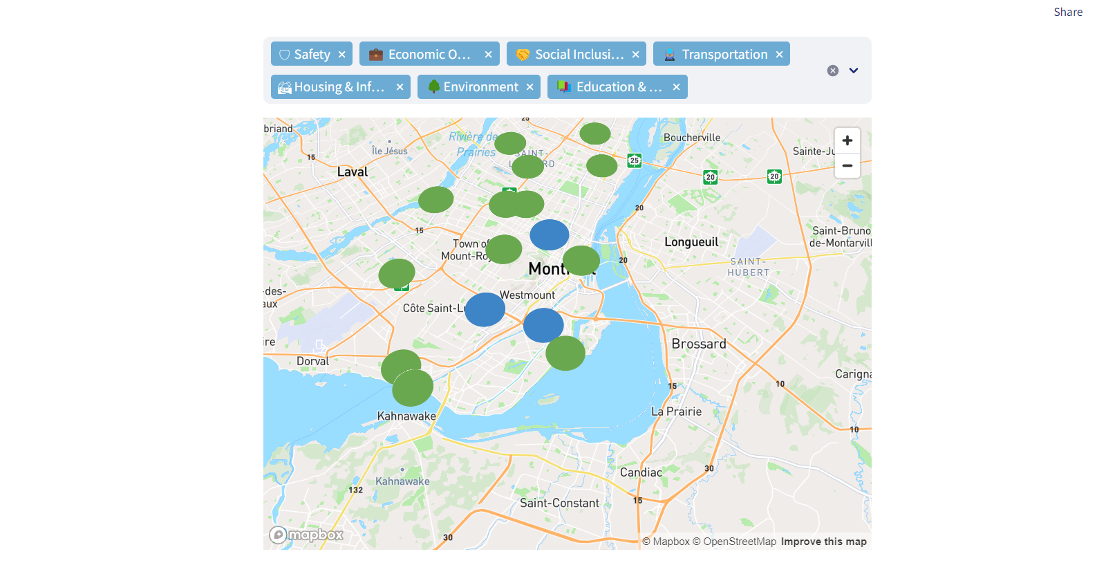
Screenshot of the map with the data
About the Project
Inspiration
The idea for this project came from a desire to analyze and visualize livability across different districts in Montreal. We wanted to create an interactive tool that could help users explore and compare different areas based on various criteria.
What We Learned
Throughout this project, we gained experience in:
- Streamlit for building interactive web applications
- Pydeck for visualizing geospatial data
- Data analysis to calculate and interpret livability scores
Challenges Faced
- Integrating Pydeck with Streamlit: Making selections on the map trigger updates in the UI was tricky.
- Dynamic Filtering: Ensuring that the total score updates properly when filters change required careful handling.
- Custom Styling: Streamlit doesn’t support extensive styling natively, so we had to work with HTML and CSS to format tables and legends properly.
- Data Accuracy: Our data analyst had to ensure that the collected data was reliable and the calculations reflected real-world livability factors.
Final Thoughts
This project was a great opportunity to combine data visualization, interactivity, and web development. It helped us understand how to present complex data in a user-friendly way while tackling real-world challenges in UI, backend logic, and data analysis.


Log in or sign up for Devpost to join the conversation.