-

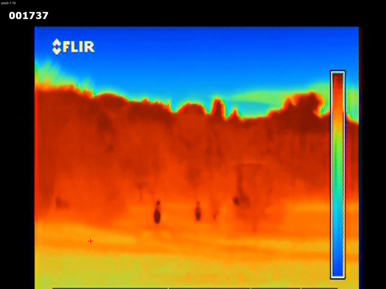
prediction top left and point is red crosshair
-
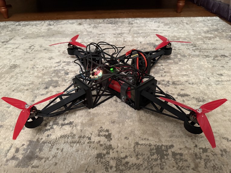
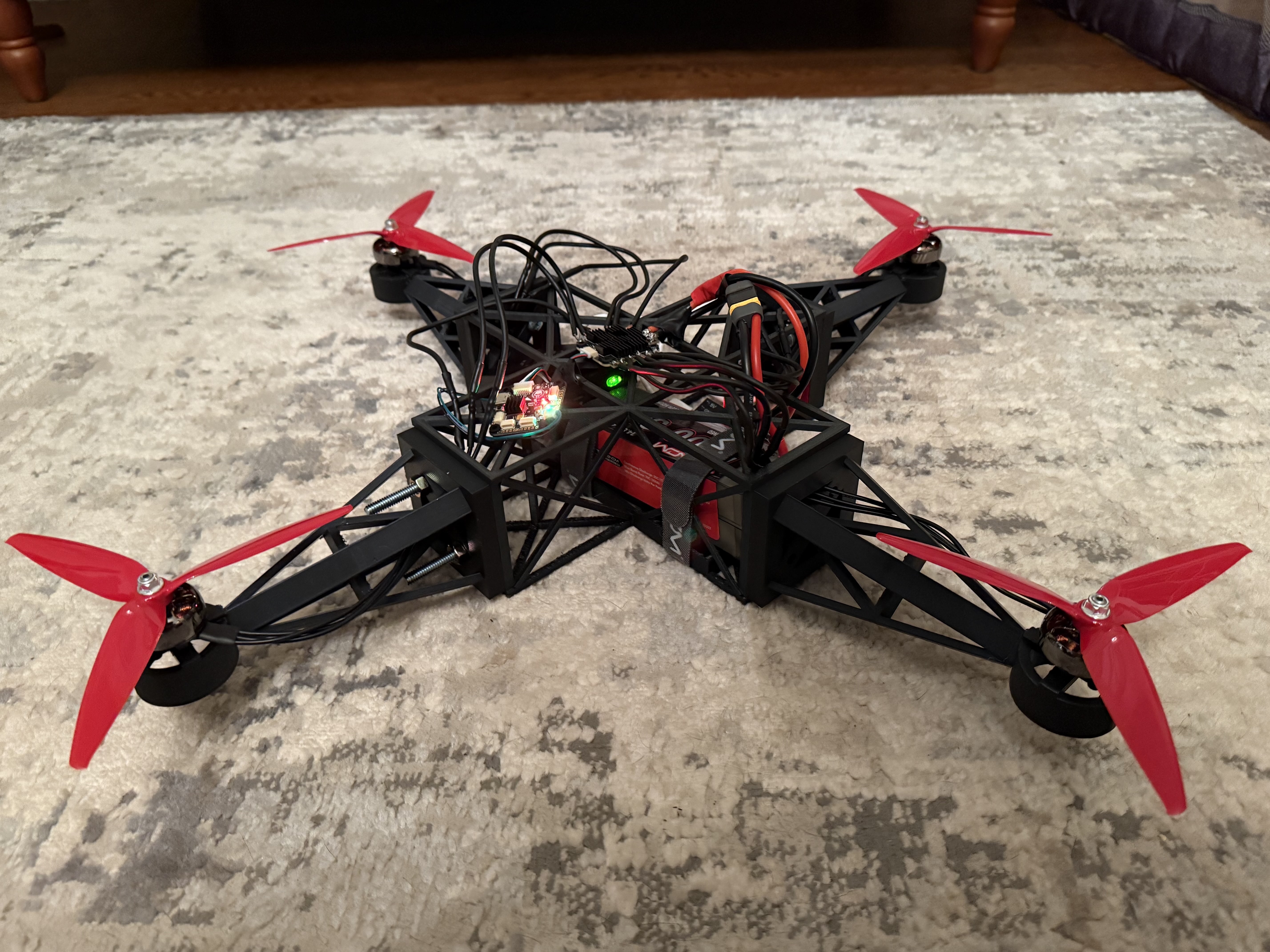
prototype
-
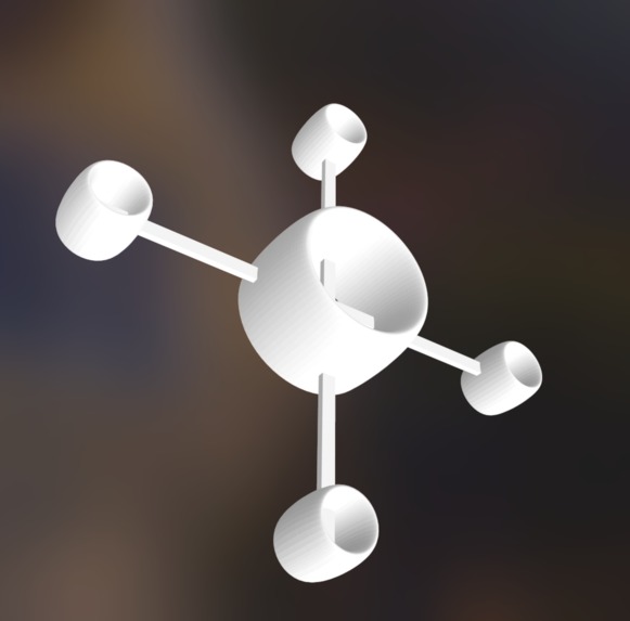
model

Inspiration
Research on Infrared data deep learning models to decipher distance.
What it does
Take surveys, landscapes in the dark, to gain intel on the location
How we built it
vibe coded with ChatGPT to use PyTorch and an infrared image library to train a model to predict distances of a given point.
Challenges we ran into
AI vibe coding is wonderful until it isn't. I ran into countless errors where I had to reiterate and solve problems that required a basic understanding of Linux/bash commands and Python.
Accomplishments that we're proud of
The model sucks at making predictions, but it makes them!
What we learned
To get the model to make accurate predictions, I would need to manually input significantly more data, train the model multiple times, and also likely semi-automate the process.
What's next for Monad Industries: Shadow
The next steps are as follows; Train on more accurate, better/real data to improve predictions. Incorporate this gained info into a larger-scale navigation and object detection system. Incorporate into the drone and run autonomous data collection missions.
As for drone development, there are several steps: Connect via encrypted sub-GHz wifi. Optimize active and passive cooling for heat dispersion and reduced thermal signature. Implement design features such as encase props and active noise cancellation to reduce noise signatures.


Log in or sign up for Devpost to join the conversation.