Inspiration
DTMB posted the challenge of using a Michigan based data set so I tried to think of a way to use the GeoJSON APIs on their linked websites
Function
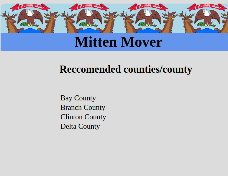
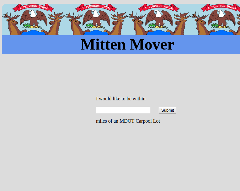
Prompts user for criteria such as desired distance from a state park to determine the best county for the user to live in
How it works
I used to Jquery to pull in all the state park and carpool lot objects using the Michigan GIS open data. I then pushed the latitude and longitude of these into an array to be compared to a central coordinate in each Michigan county. At the end I ran some functions to skim the list of counties in order to end up with data that consecutively met each criteria.
Problems I ran into
The search algorithm I began with was too narrow and wouldn't return any counties by the end of the specifications. I broadened the acceptable ranges to something more feasible. Also, I didn't know the state parks and carpool objects had latitude and longitude coordinates when I started out. For a while I looked into using a google API to try and search the county name and state park name to compare the distance.
I'm proud that..
I had zero experience with html and javascript prior to this. I feel I picked it up quickly enough.
I learned something
How to build a website and upload it to a domain.
If I had more time/energy
Maybe learn some css tricks so make it more aesthetically pleasing

Log in or sign up for Devpost to join the conversation.