Inspiration
Gold exploration is expensive and often requires extensive fieldwork before promising locations can be identified. I wanted to explore how AI and satellite imagery could make early-stage mineral exploration faster and more accessible by providing an intelligent screening tool.
MineralIQ was inspired by the idea of creating an explainable AI assistant for geologists — a system that can analyze Earth observation data, highlight areas with strong mineralisation signals, and support exploration decisions before costly field investigations begin.
What it does
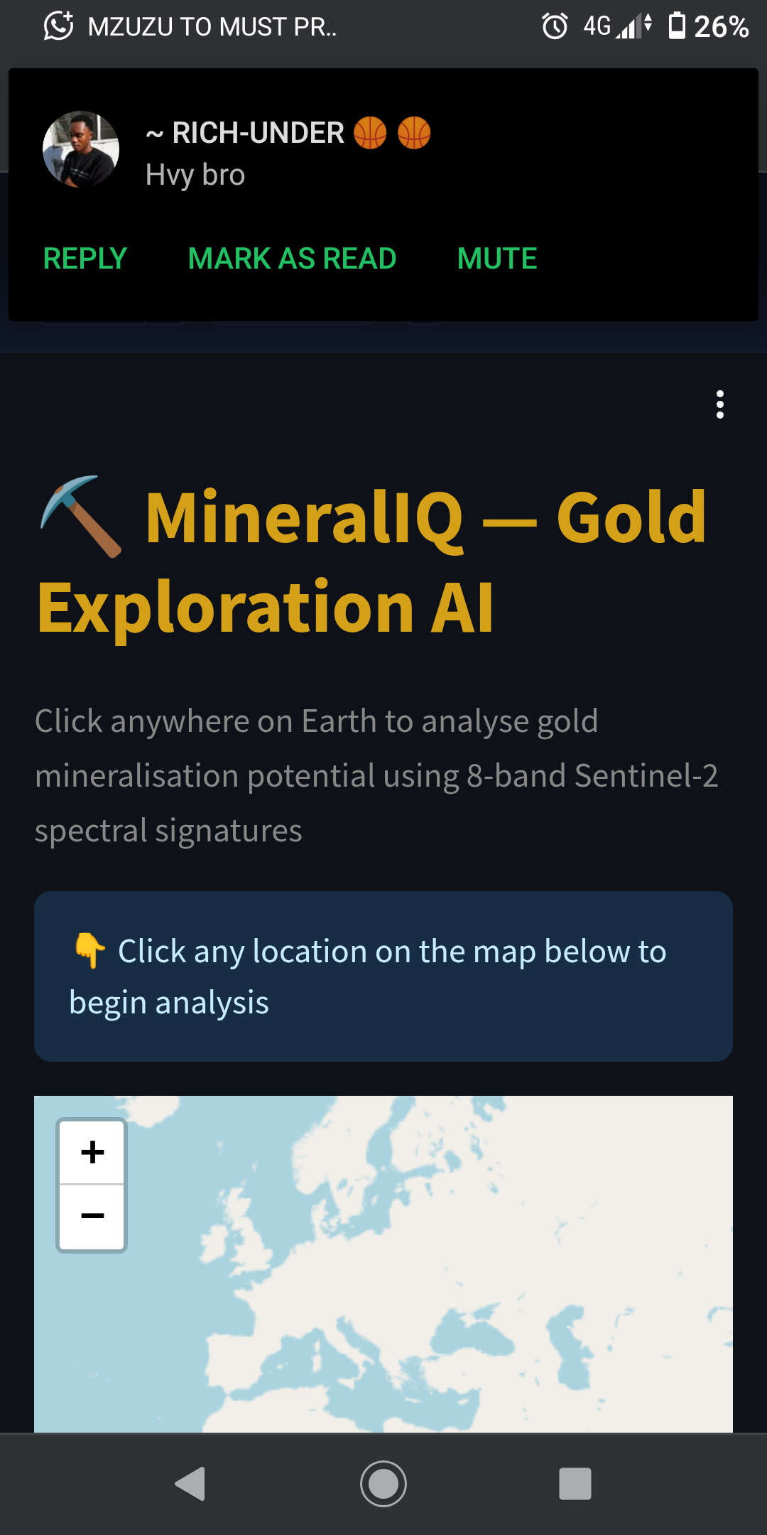
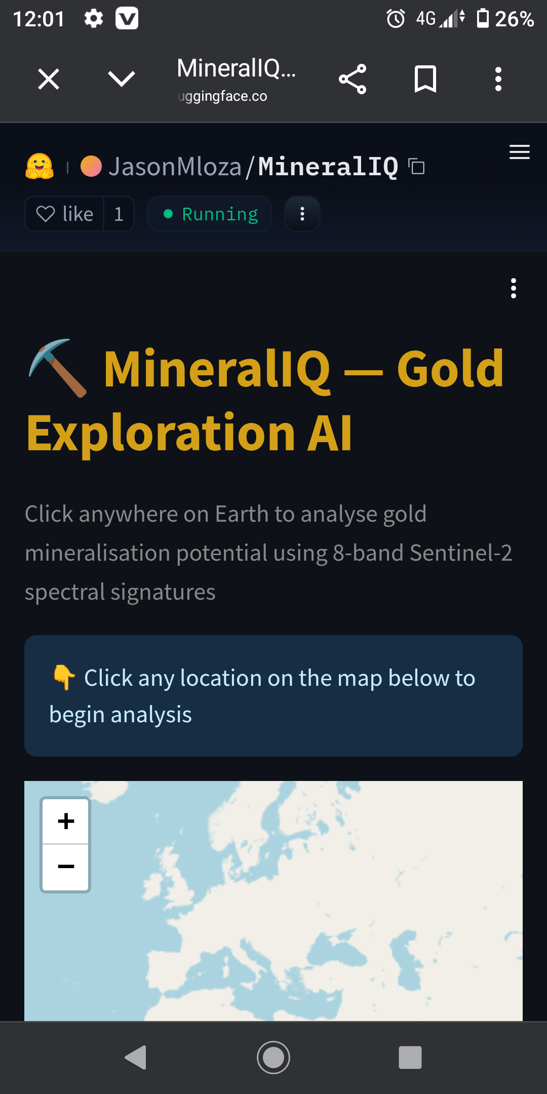
MineralIQ is an AI-powered mineral exploration application that estimates gold mineralisation potential using multispectral satellite imagery from Sentinel-2.
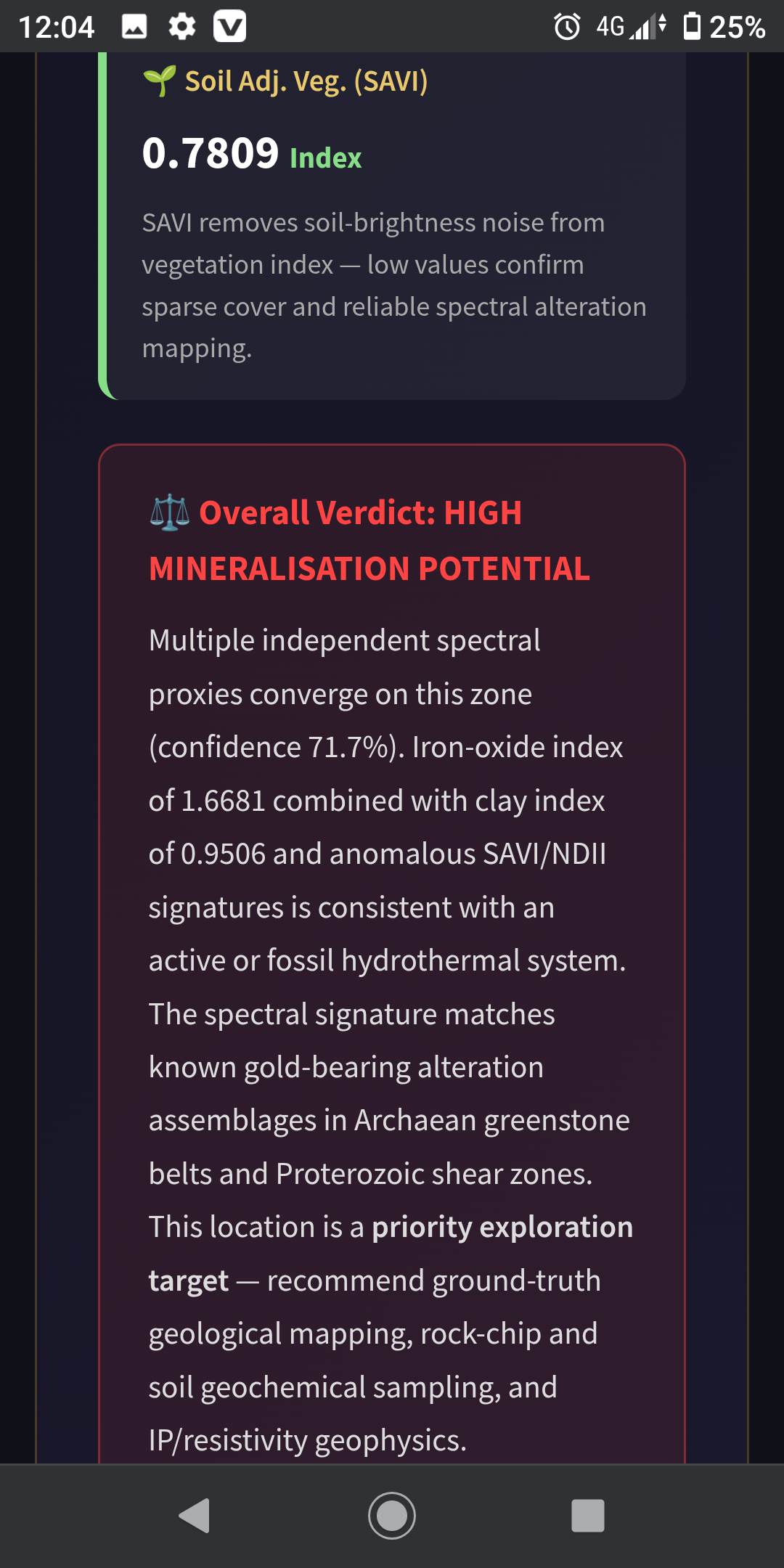
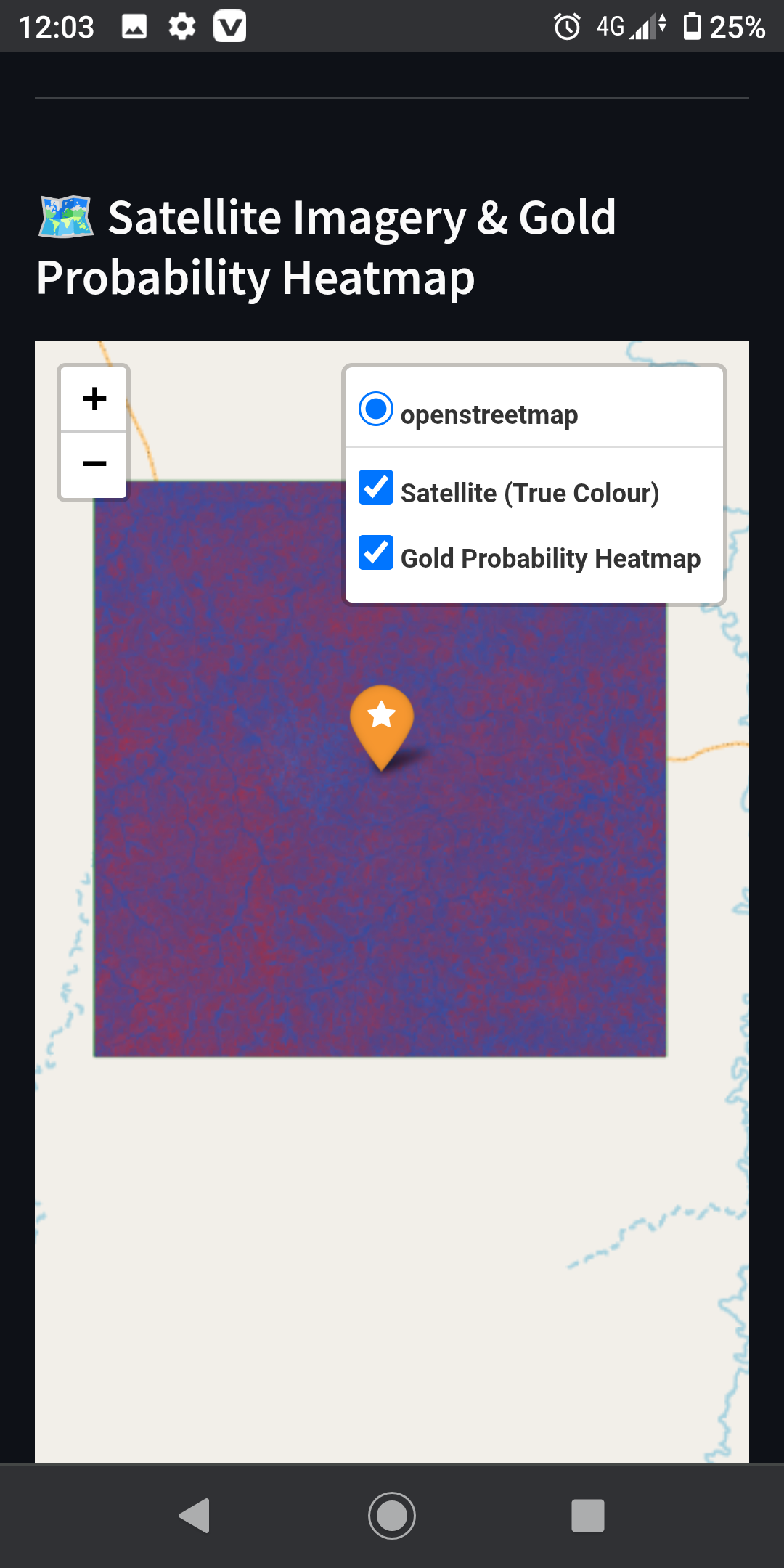
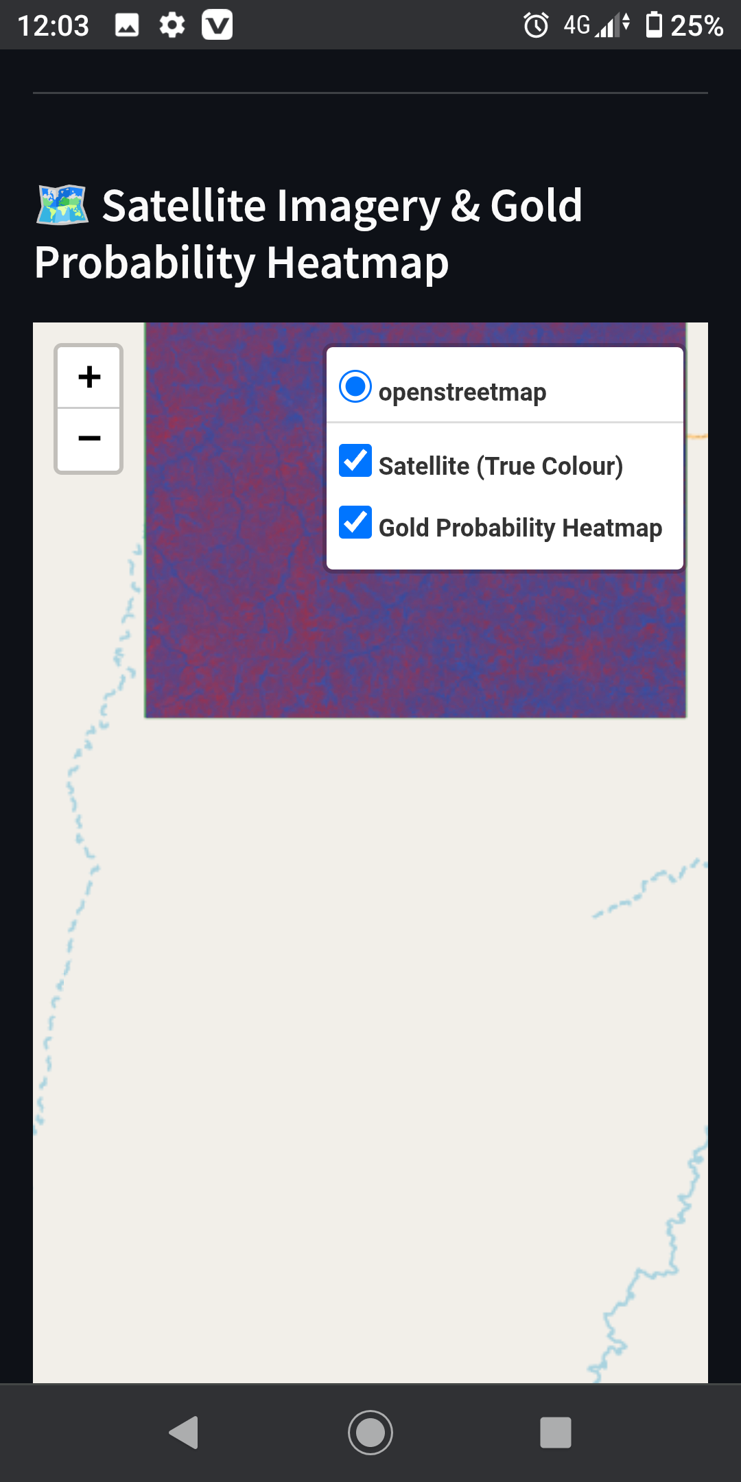
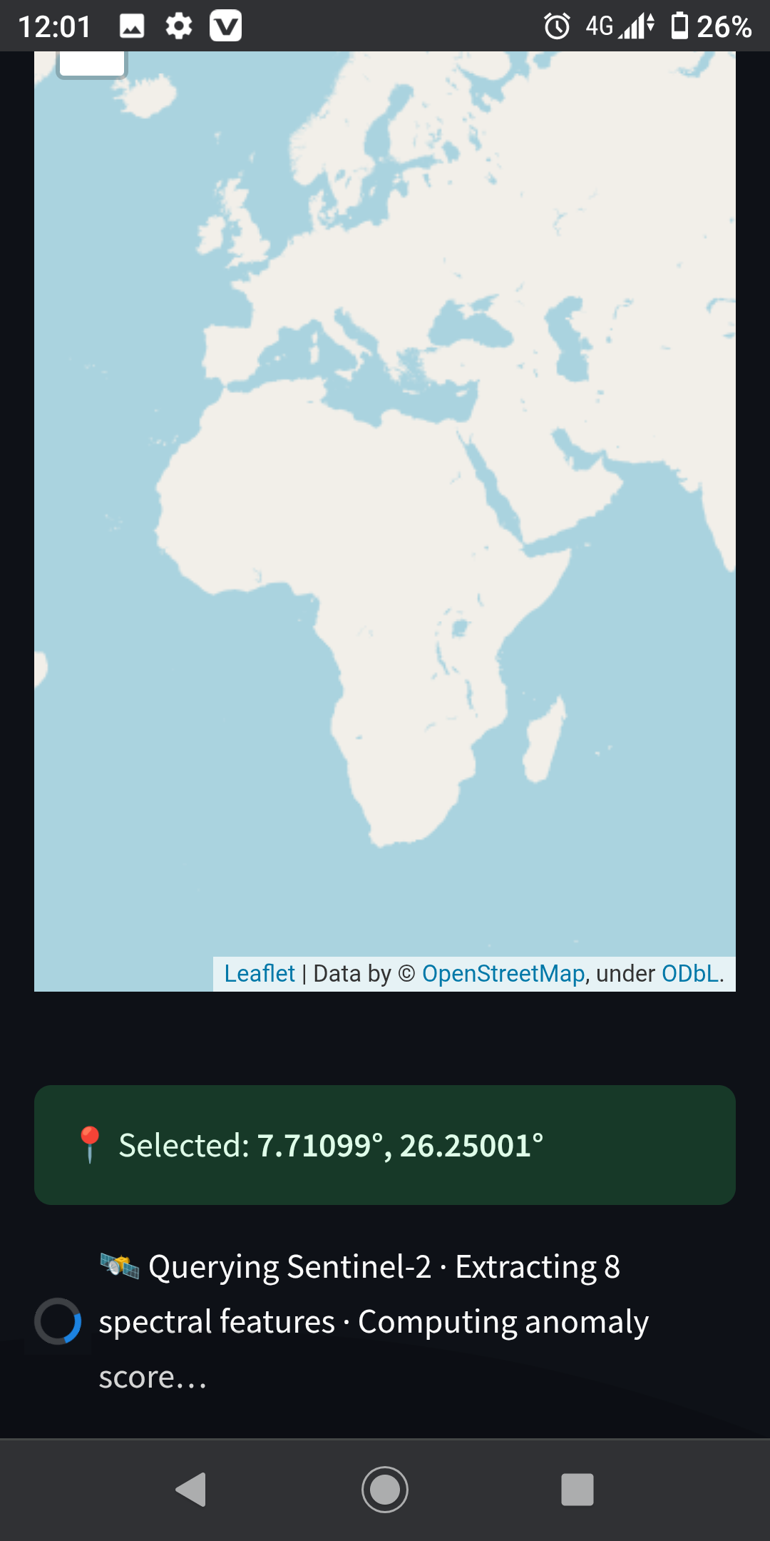
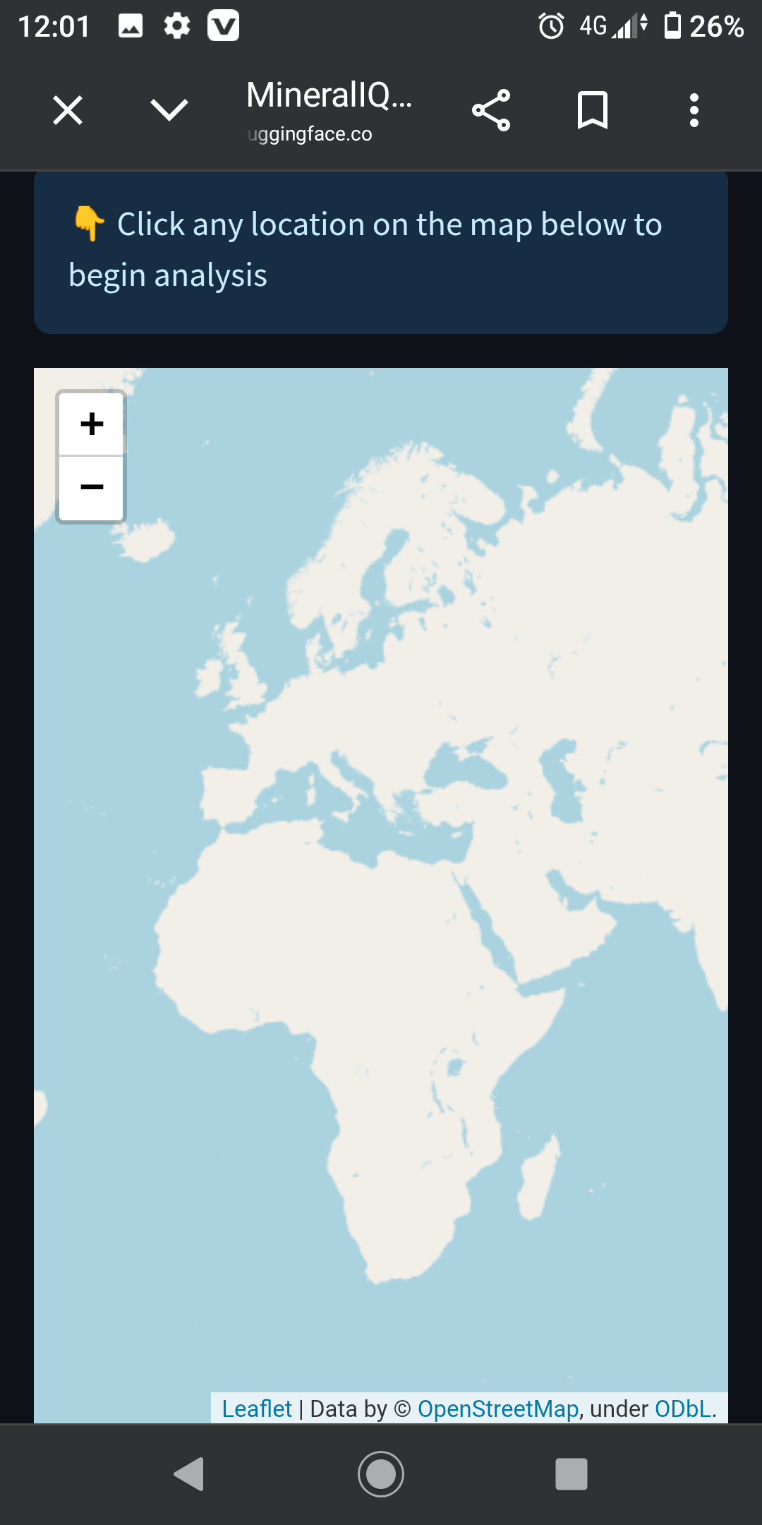
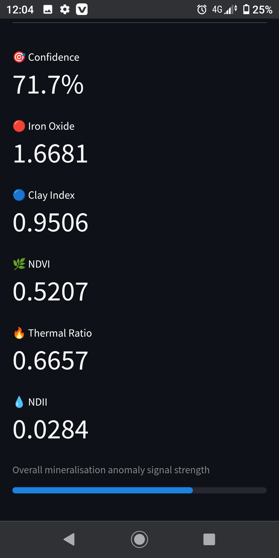
Users can click anywhere on an interactive global map, and MineralIQ automatically retrieves satellite imagery for that location, extracts eight geological spectral indices associated with hydrothermal alteration, calculates a normalized anomaly score, and displays the results as an interactive heatmap.
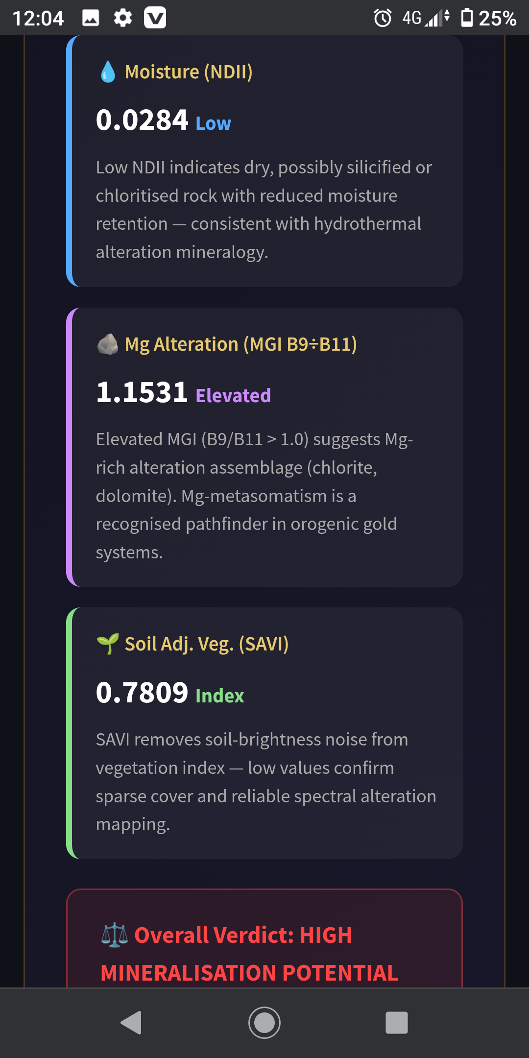
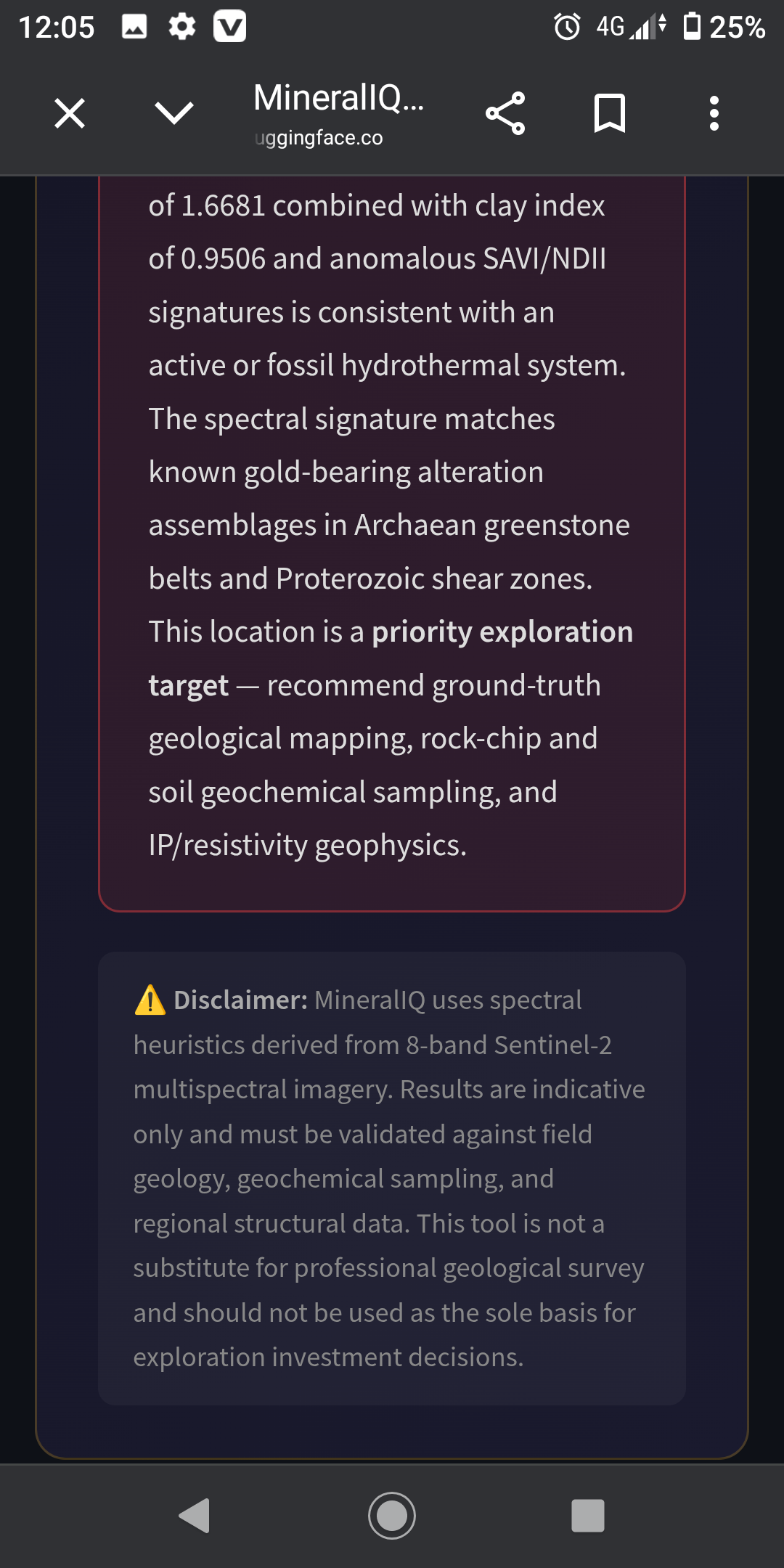
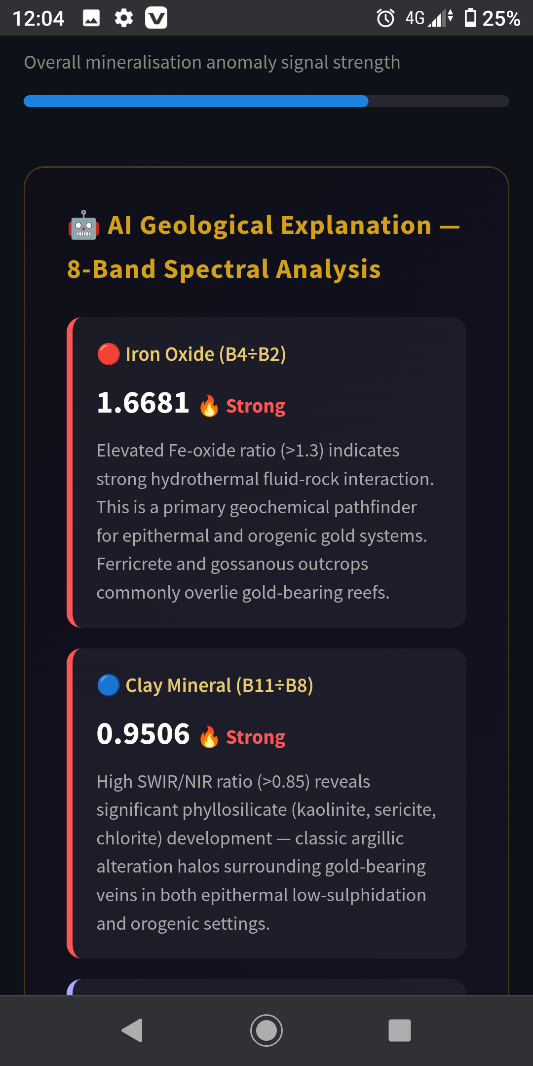
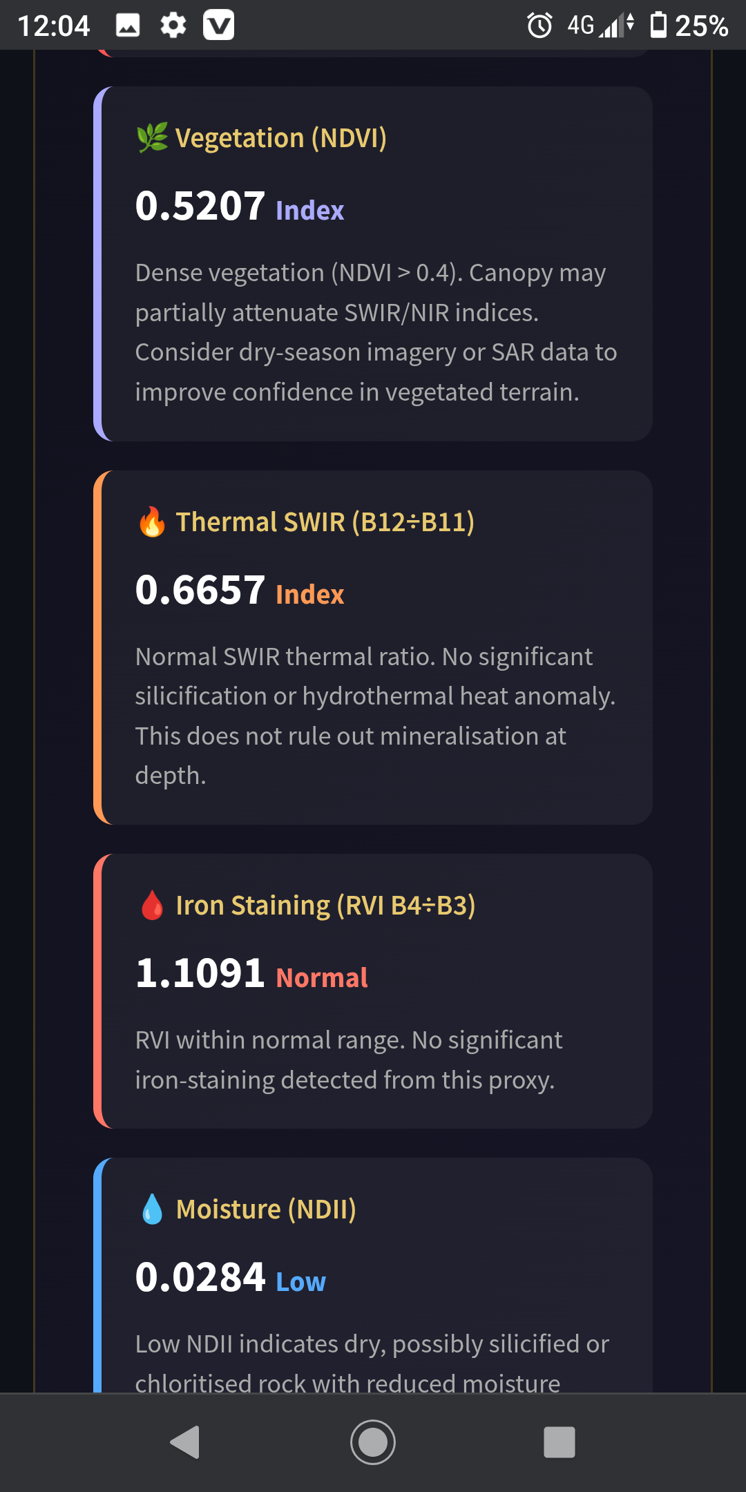
The system also provides an explainable geological interpretation of each spectral indicator and generates a confidence score to classify areas as high, medium, or low-priority exploration targets.
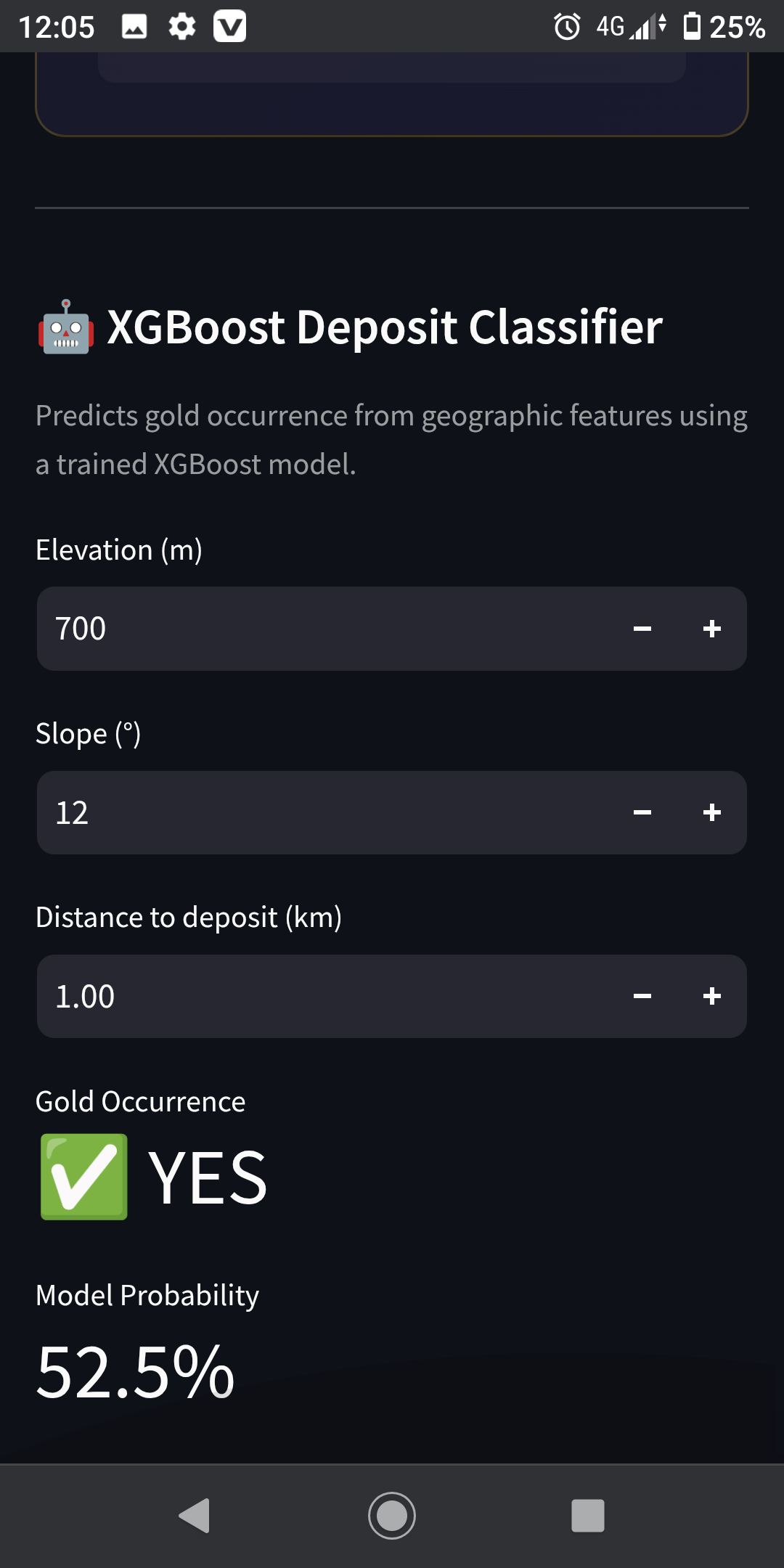
An optional XGBoost machine learning model provides additional gold occurrence prediction using terrain features.
How I built it
MineralIQ was built with Python using Streamlit for the application interface and Folium for interactive geospatial visualization.
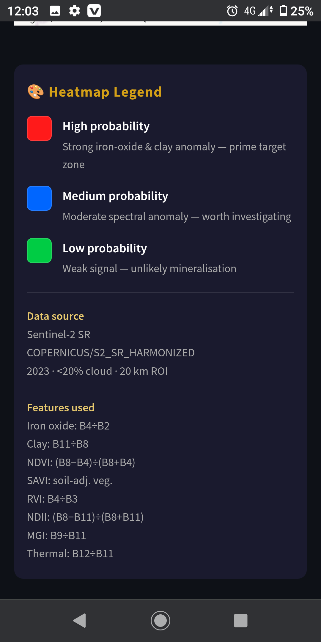
The system uses Google Earth Engine with Sentinel-2 Surface Reflectance Harmonized satellite data to collect multispectral imagery. The processing pipeline extracts eight spectral mineral proxies:
- Iron Oxide Index
- Clay Mineral Index
- NDVI
- SAVI
- RVI
- NDII
- Magnesium Index
- Thermal SWIR ratio
These features are combined into a normalized anomaly score to identify areas with stronger mineralisation signals. An explainable AI layer interprets the contribution of each spectral indicator, while an XGBoost classifier provides optional predictive analysis.
MineralIQ is deployed using Hugging Face Spaces.
Challenges I ran into
A major challenge was integrating satellite data processing, machine learning, and an interactive mapping experience into one application.
I also faced challenges ensuring that AI outputs were explainable and useful for exploration workflows rather than being a black-box prediction system. Balancing geological relevance, model performance, and usability required careful design.
Accomplishments that I'm proud of
- Built an end-to-end AI-powered mineral exploration workflow.
- Integrated Google Earth Engine satellite analysis with an interactive web application.
- Developed an explainable AI layer for geological interpretation.
- Combined remote sensing, machine learning, and geospatial visualization into one platform.
- Successfully deployed a working prototype online.
What I learned
Building MineralIQ improved my knowledge of remote sensing, geospatial AI, satellite data processing, explainable machine learning, and deploying AI applications.
This project showed me how AI can be applied to scientific domains to assist experts with complex decision-making.
What's next for MineralIQ
Future improvements include:
- Supporting additional commodities such as copper, lithium, and rare earth elements.
- Integrating geological maps, fault structures, and geochemical datasets.
- Adding time-series satellite analysis.
- Supporting higher-resolution remote sensing imagery.
- Training improved machine learning models using larger geological datasets.
- Developing multi-agent AI workflows for automated exploration analysis and reporting.

