-
-

Homepage Hero
-
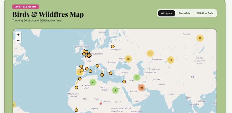
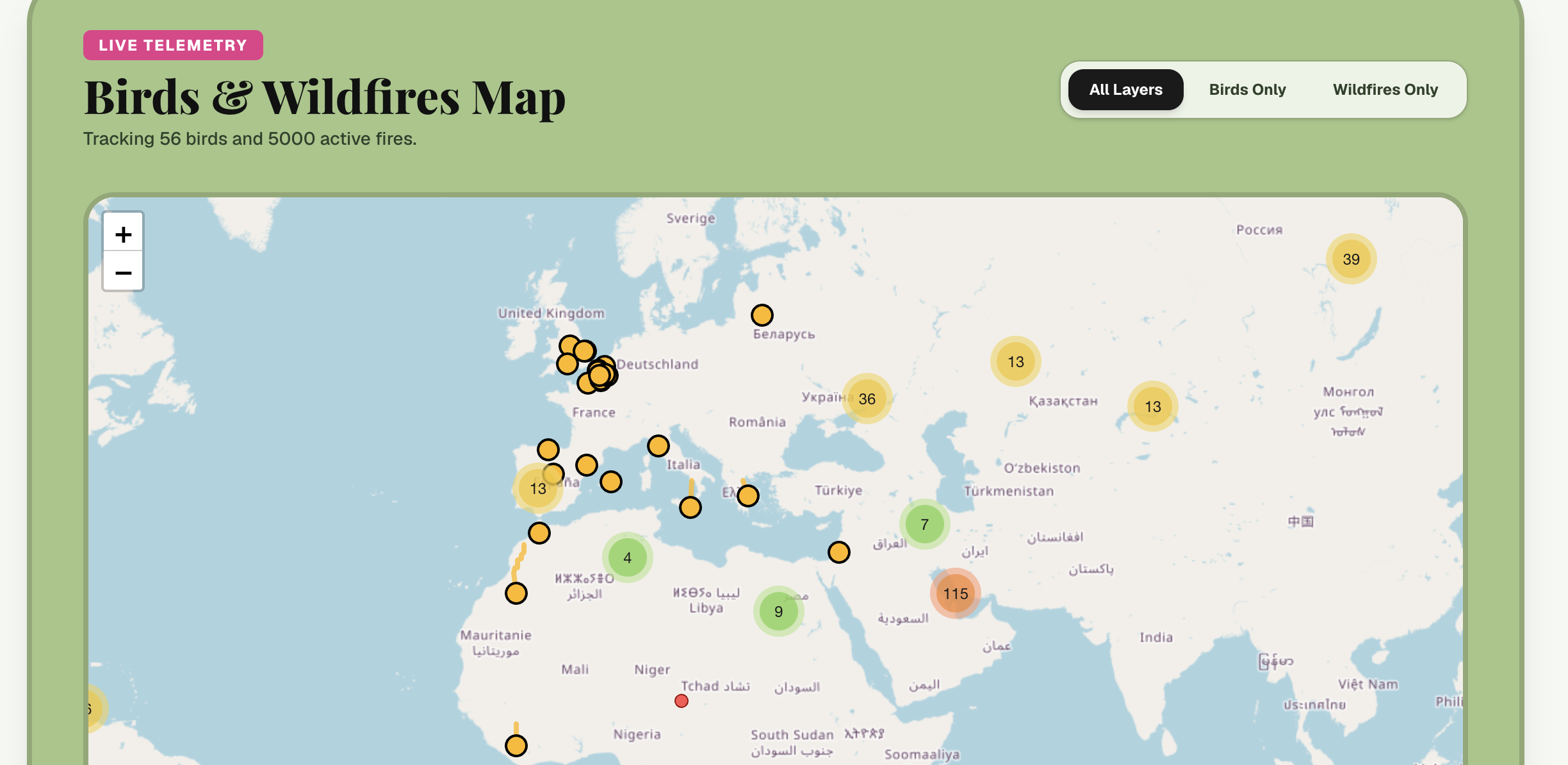
Bird and Fire map
Inspiration
We wanted to explore how wildfires can affect birds during their migration. By putting fire activity and bird migration routes on the same map, we can make their potential overlap easier to see.
What it does
Migration Nation is an interactive map that visualizes bird migration routes alongside wildfire locations. Users can explore the map to see where fires and migration paths intersect.
How we built it
We combined bird migration and wildfire datasets with an interactive mapping interface. We used geospatial data and web technologies to create a map that users can explore in real time.
Challenges we ran into
Combining different geographic datasets and making them easy to understand on one map was our biggest challenge. We also had to balance map detail with performance and usability.
Accomplishments that we're proud of
We're proud that we created an interactive way to visualize the potential impact of wildfires on bird migration. We also successfully brought multiple environmental datasets together into one cohesive experience.
What we learned
We learned how to work with geospatial data and build interactive visualizations. We also saw how maps can make complex environmental relationships much easier to understand.
What's next for Migration Nation
We want to add more bird species, historical fire data, and seasonal migration patterns. In the future, we'd also like to add time-based visualization to show how fires and migration change over time.
Built With
- apis
- javascript
- nextjs
- react
- tailwindcss
- typescript


Log in or sign up for Devpost to join the conversation.