Inspiration
We were inspired by interactions with our classmates talking about where we are from and different aspects of our cultures. We wanted to educate our community about world geography and the home countries of our classmates. We spend a lot of time talking about where everyone lives, but we wanted a way to visualize this on a larger scale.
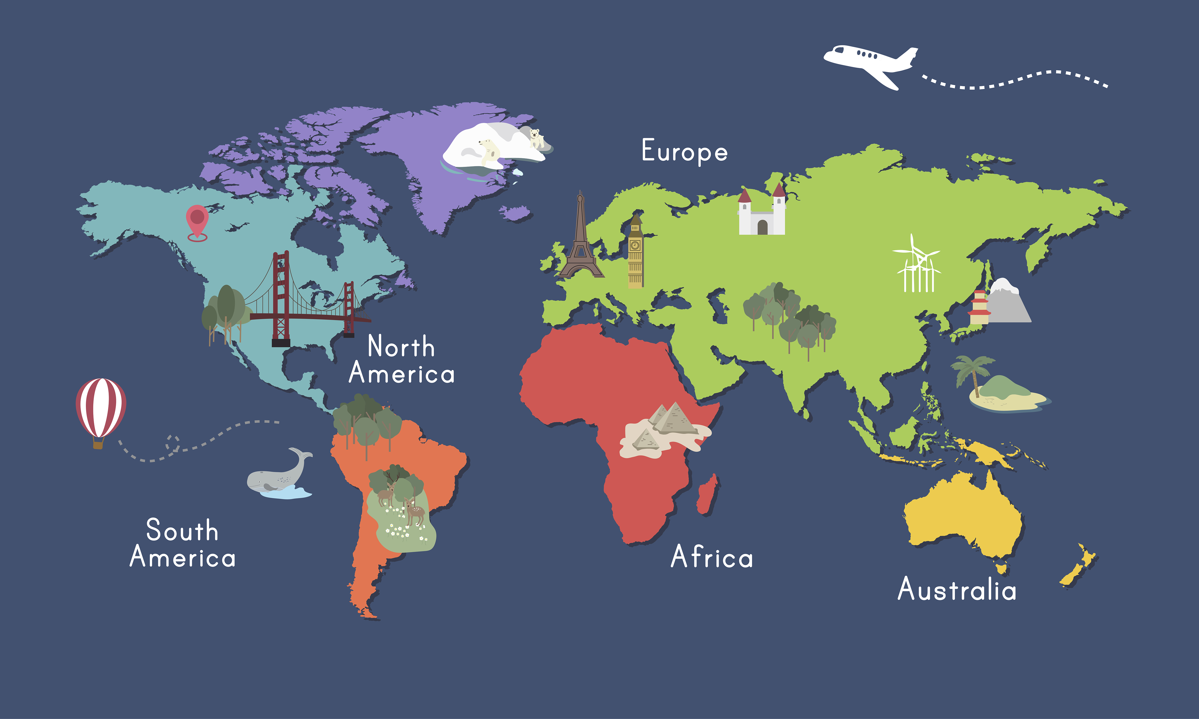
What it does
It shows the locations of the home countries of every current MHS student. You can click on each marker to see the name of the country and can long press on any marker to get more information.
using the app: press open map button tap lightly on marker to see name of country long press on marker to get more information (from Cia Website)
How we built it
We built the app using Thunkable.
Challenges we ran into
We would like to make this app an interactive quiz which could become a friendly competition in the community. We tried to do this, but the google maps API that we found to remove the labels/ country names from the map required credit card information that we did not want to give. We also want each marker to link directly to the chosen country's specific webpage, but Thunkable only allows you to link one webpage for all of the markers. We would like to take this project further in the future, likely by learning new coding languages, but we still had a lot of fun working on it:).
Accomplishments that we're proud of
With the process of developing this app we learned how to use Thunkable quite well. But also working as a team together and agreeing on everything and finding compromises helped us to grow.
What we learned
As we mentioned in our accomplishments learning how to use Thunkable comfortably and properly.
What's next for MHS World Map
As we mentioned in our challenges section we want to improve some functions.
Citations
Built With
- thunkable

Log in or sign up for Devpost to join the conversation.