-
-
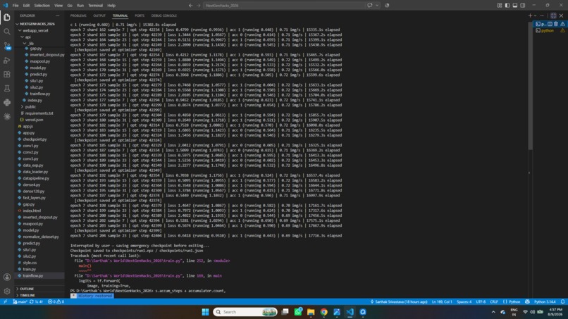
Training
-
-

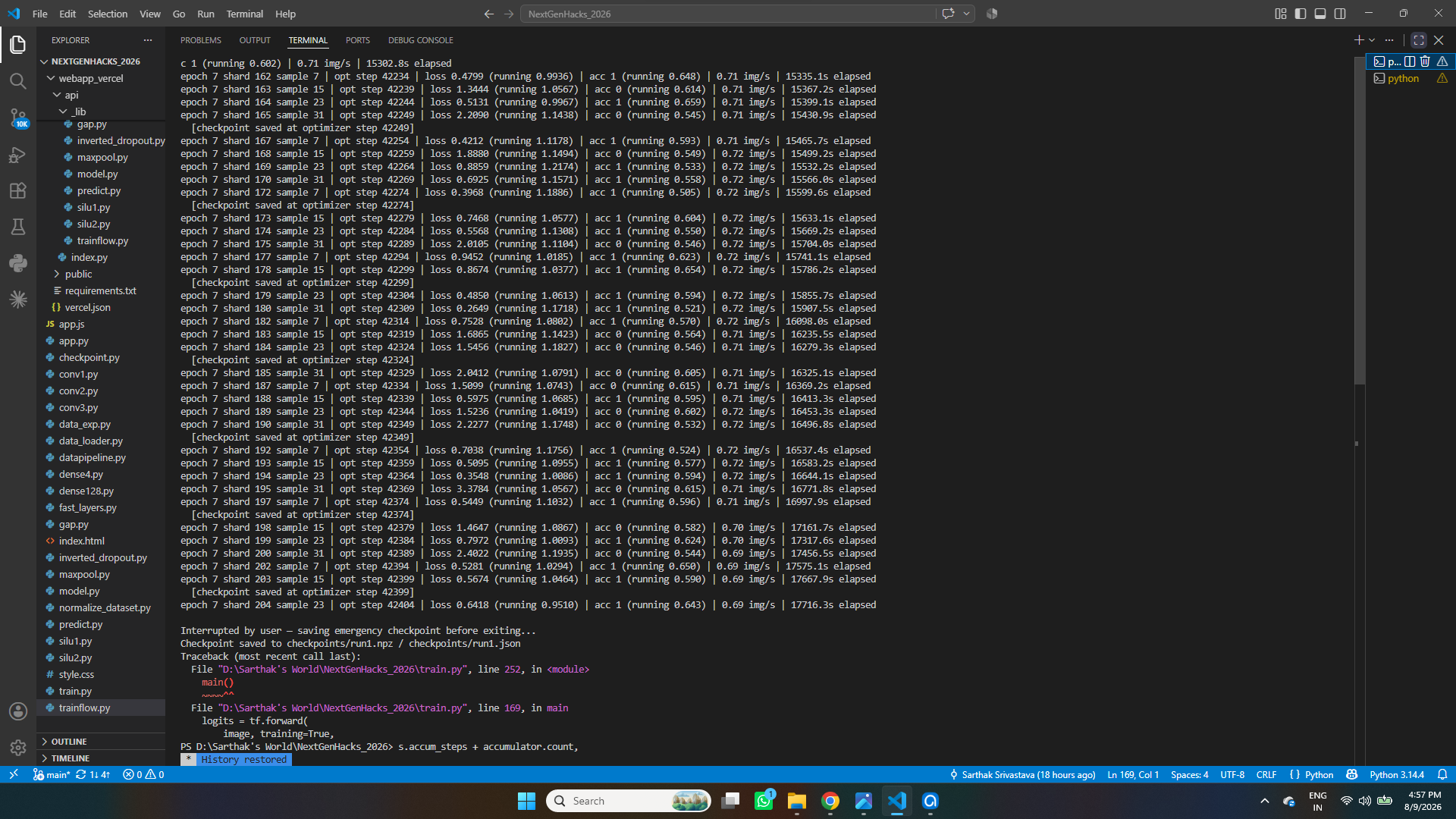
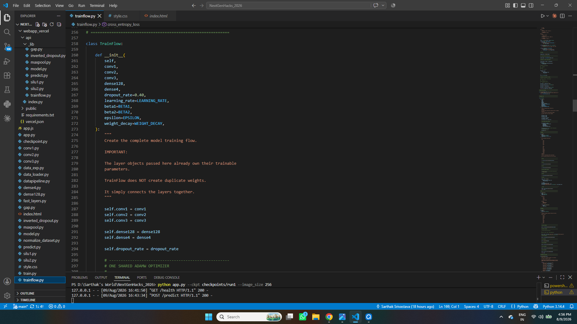

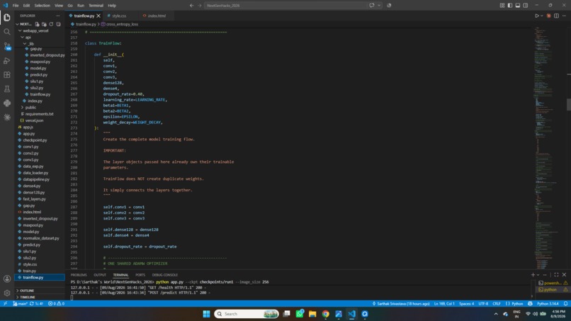
** Note: Everything was ready for deployment as shown in the video. But couldn't push the necessities for vercel to github due to last minute laptop crash. Yet uploaded the essentials in additional info. **
Inspiration
Municipalities spend significant time, money, and manpower manually inspecting roads and public infrastructure. At the same time, government inspection vehicles are already collecting large amounts of imagery. We wanted to turn that existing data into something useful while keeping sensitive government information under government control.
What it does
MetroVision-AI analyzes road imagery and classifies it into four categories: Normal, Crack, Pothole, and Both. Images identified as potentially damaged can be flagged for municipal inspectors, reducing the amount of imagery that needs to be manually reviewed.
The system is designed for local deployment, meaning municipalities can run the model on their own infrastructure without sending their imagery to external AI providers.
How we built it
We built a custom convolutional neural network from scratch, rather than relying on YOLO or an external computer-vision API.
We trained the model using the Indian subset of the RDD2022 road-damage dataset. Its original XML annotations were automatically processed and converted into our four classification categories.
The image pipeline standardizes the input before passing it through convolutional layers, pooling, a residual block, fully connected layers, and a final four-class Softmax output.
The prototype is connected to a local web interface for testing predictions.
Challenges We Ran Into
The biggest challenge was building an AI system from scratch within a very short hackathon timeframe.
We had to transform object-detection annotations into a clean classification dataset, design our own CNN architecture, implement the training pipeline, handle model checkpoints, and connect the trained model to an application.
We also had to balance model complexity with our goal of creating something small enough for local deployment.
Accomplishments We're Proud Of
We built a functioning road-damage classifier from scratch under hackathon constraints.
We're particularly proud that the system does not depend on a large external AI model or API for inference. The core model is our own, and the architecture can potentially be deployed directly within municipal infrastructure.
We also automated the dataset preparation process, eliminating the need to manually classify thousands of road images.
What We Learned
We learned that building an AI system is much more than designing a neural network.
The model is only one part of the pipeline. Dataset quality, annotation processing, preprocessing, training, evaluation, inference, deployment, and the user interface all have to work together.
We also learned the importance of designing AI around the actual needs and constraints of its users, rather than simply choosing the largest or most powerful model available.
What's Next for MetroVision-AI
Our current prototype focuses on four road conditions, but MetroVision-AI could eventually become a broader municipal infrastructure-monitoring platform.
Future versions could incorporate GPS-based issue mapping, automated video processing, sidewalks, road-sign deterioration, graffiti, broken public infrastructure, severity estimation, and historical maintenance data.
The long-term goal is a system that helps municipalities move from slow, reactive manual inspections toward faster, data-driven infrastructure maintenance while keeping their data under their own control.
Built With
- chatgpt
- claude
- computer-vision
- convolutional-neural-networks
- css
- flask
- html
- javascript
- machine-learning
- n8n
- neural-networks
- numpy
- python

Log in or sign up for Devpost to join the conversation.