-
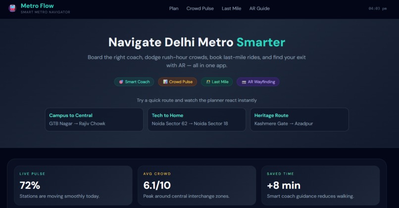
Metro Flow
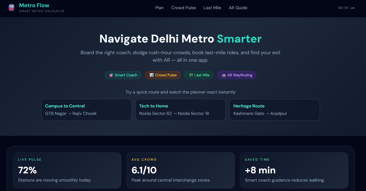
Analyzes the destination or interchange station layout. Tells the user exactly which coach number to board at their starting platform (e.g., Coach 4) so they step off right in front of the exit stairs, saving up to 3 minutes of platform walking. Aggregates real-time crowd indicators to generate a density index (1–10). Dynamically adjusts travel times and triggers alert warnings or alternative bypass routes (e.g., using the Pink/Magenta lines) during peak rush hours. Maps verified local E-rickshaw routes, shared autos, and prepaid stands connected to specific metro exit gates. Displays fixed rates, estimated waiting times, and optimal exits, saving commuters from chaotic price negotiations outside. A lightweight camera overlay feature (planned for mobile deployment) designed for complex hubs (e.g., Kashmere Gate). Projects digital navigational arrows on screen to direct off-boarding passengers to their target line or exit gate.


Log in or sign up for Devpost to join the conversation.