Inspiration
A camera roll can show us where and when a photo was taken. We wanted to make those memories feel like places we could step into and explore.
What it does
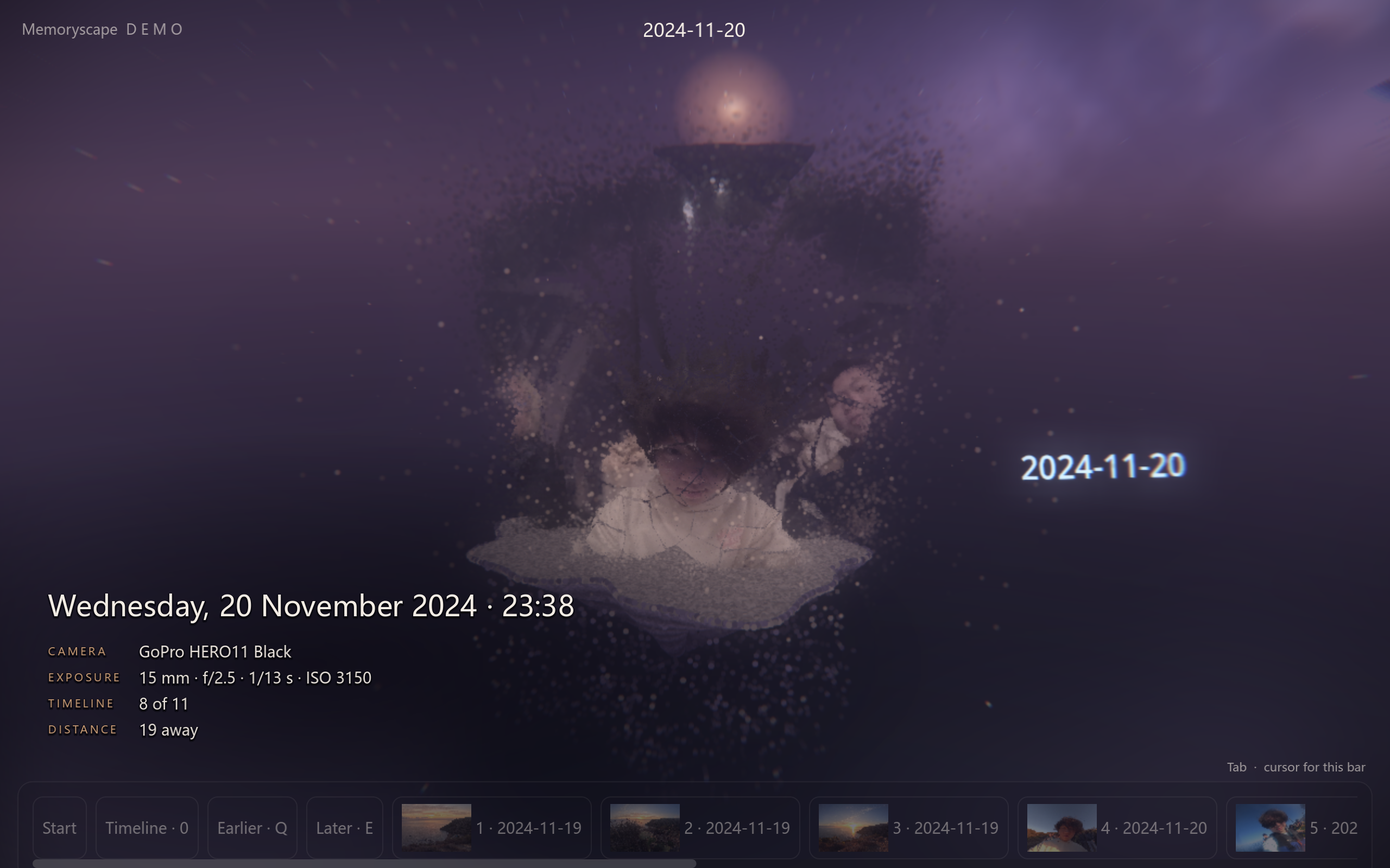
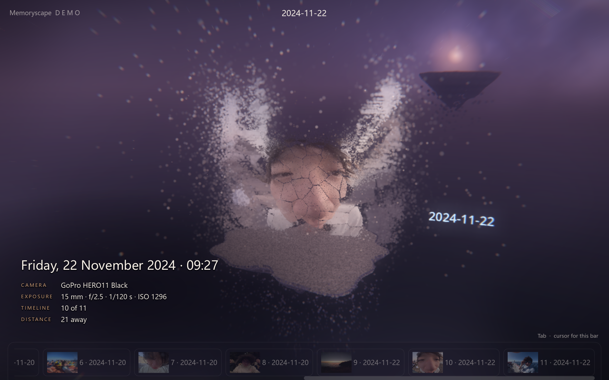
Memoryscape turns photos into floating 3D particle islands. One portal opens a globe where geotagged photos cluster by location. Fly toward a glow and it opens into a chain of islands. The other portal arranges the same memories by capture date. When a JPEG has GPS and a capture time, Memoryscape can look up weather for that moment and add rain or snow to the island.
How we built it
Godot renders the globe, islands, and first-person navigation. A local Python backend uses MoGe or Depth Anything 3 to estimate depth from one image. We use that estimate to project the photo's colors into 3D. Photo pixels stay on the device, depth estimates are cached locally, and a built-in sample works offline.
Challenges we ran into
Moving sideways reveals gaps behind foreground objects. We softened those gaps by extending nearby background colors and fading particles at the edges.
Accomplishments that we're proud of
The same photo collection becomes two places to explore. You can fly across the globe to revisit a location or follow the timeline through a series of memories.
What we learned
A single image leaves parts of a scene hidden, and photo metadata can be missing. Softening gaps keeps the islands explorable. Photos without GPS still have a place on the globe, and undated photos have their own group on the timeline.
