-
-
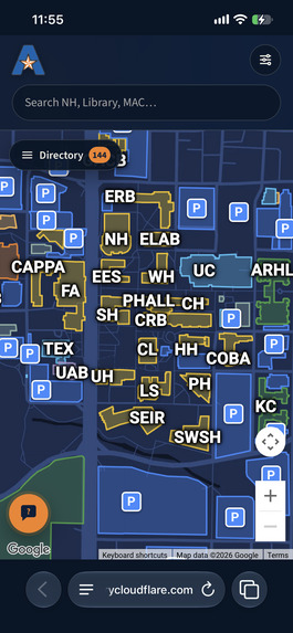
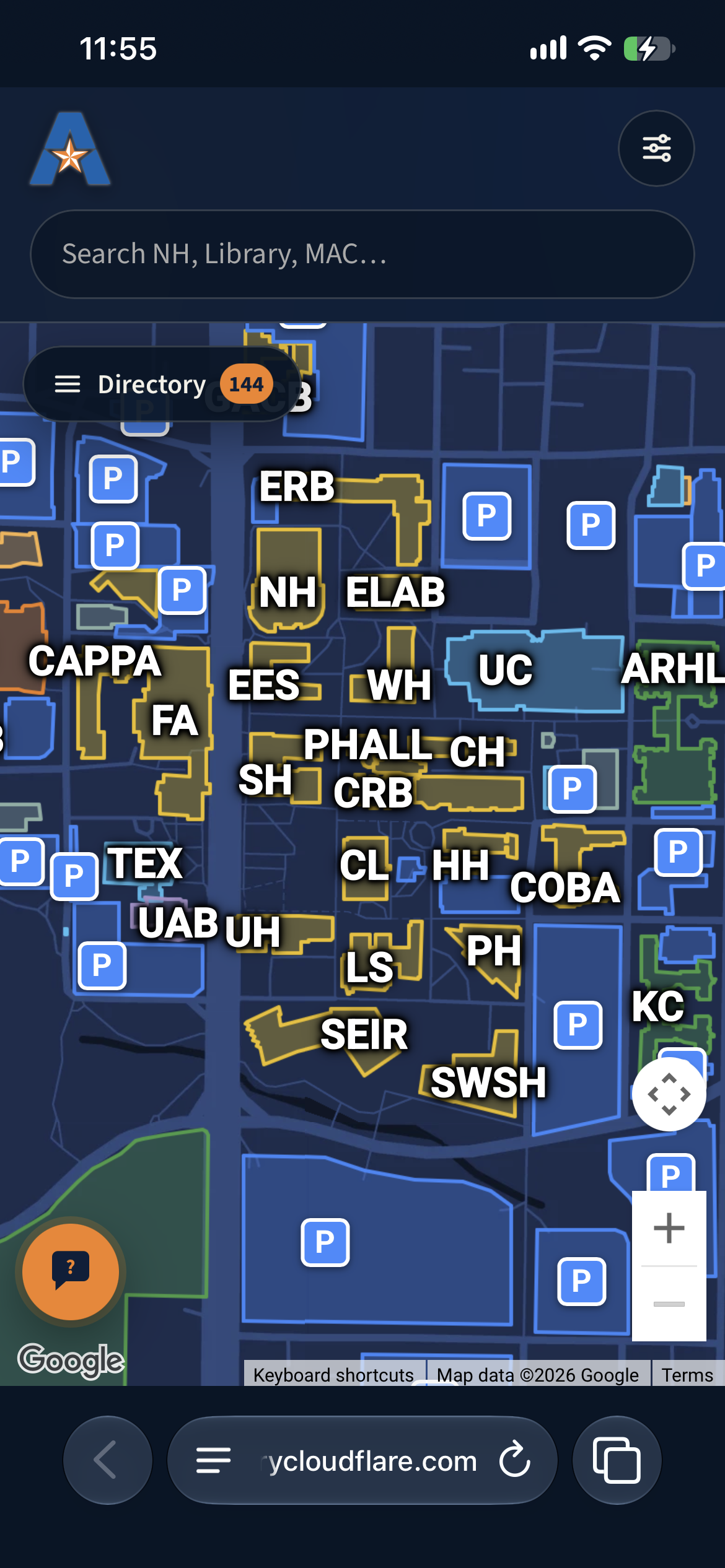
Default View
-
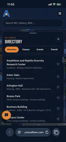
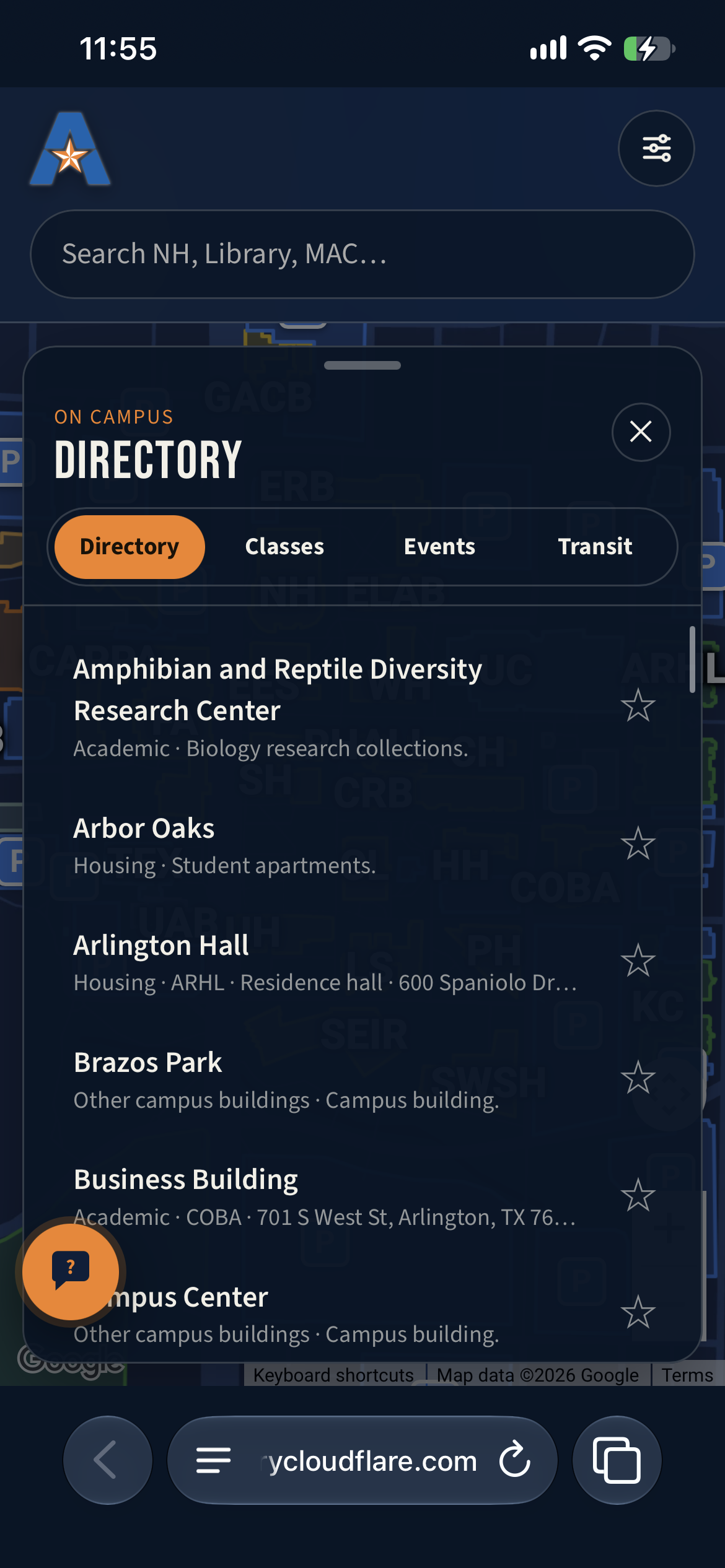
Directory Tab
-
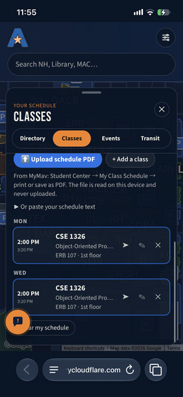
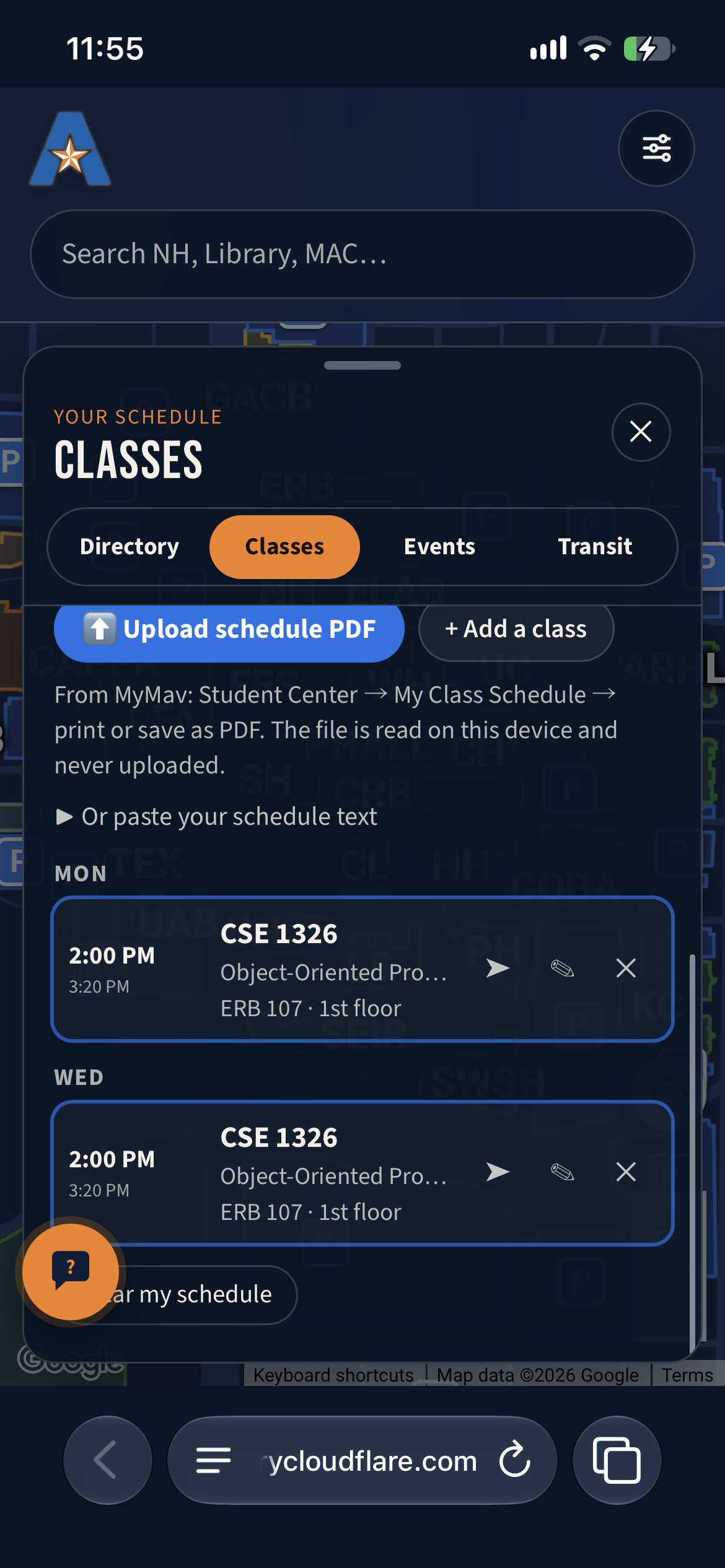
Classes Tab
-
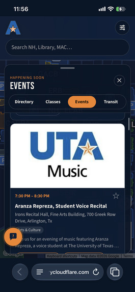
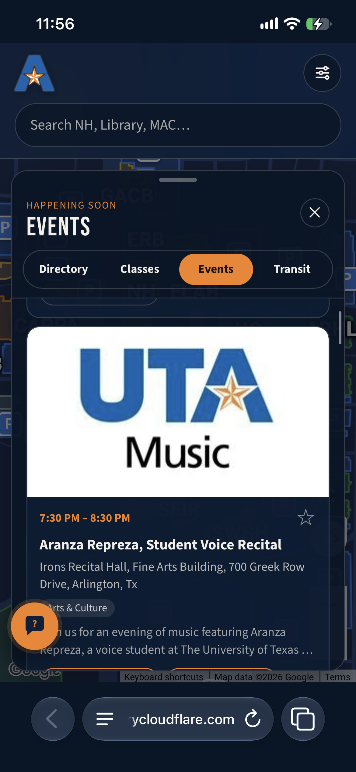
Events Tab
-
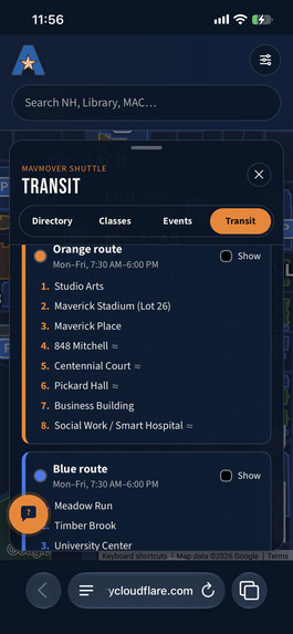
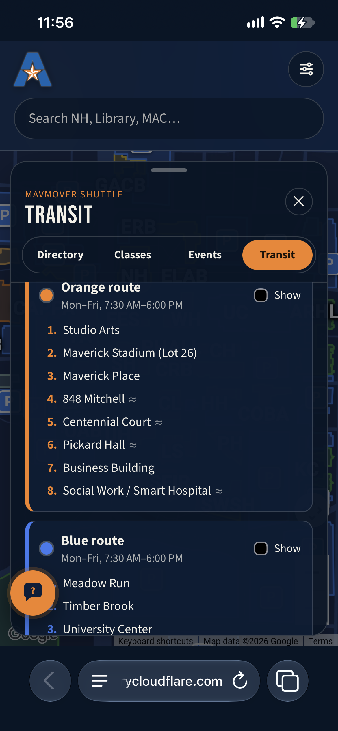
Transit/Bus Tab
-
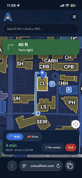
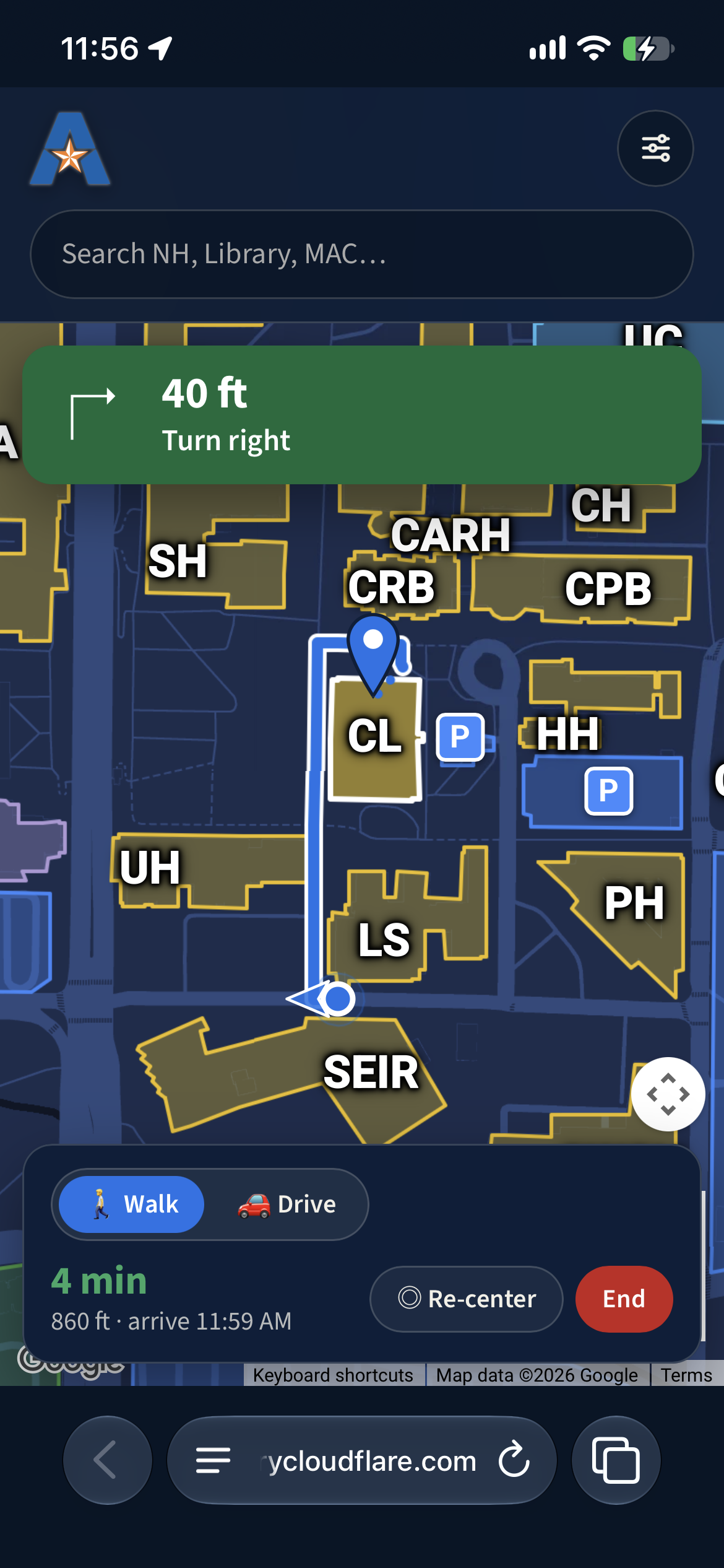
Walking Directions
-
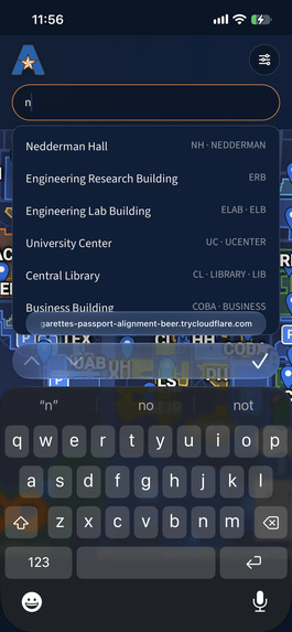
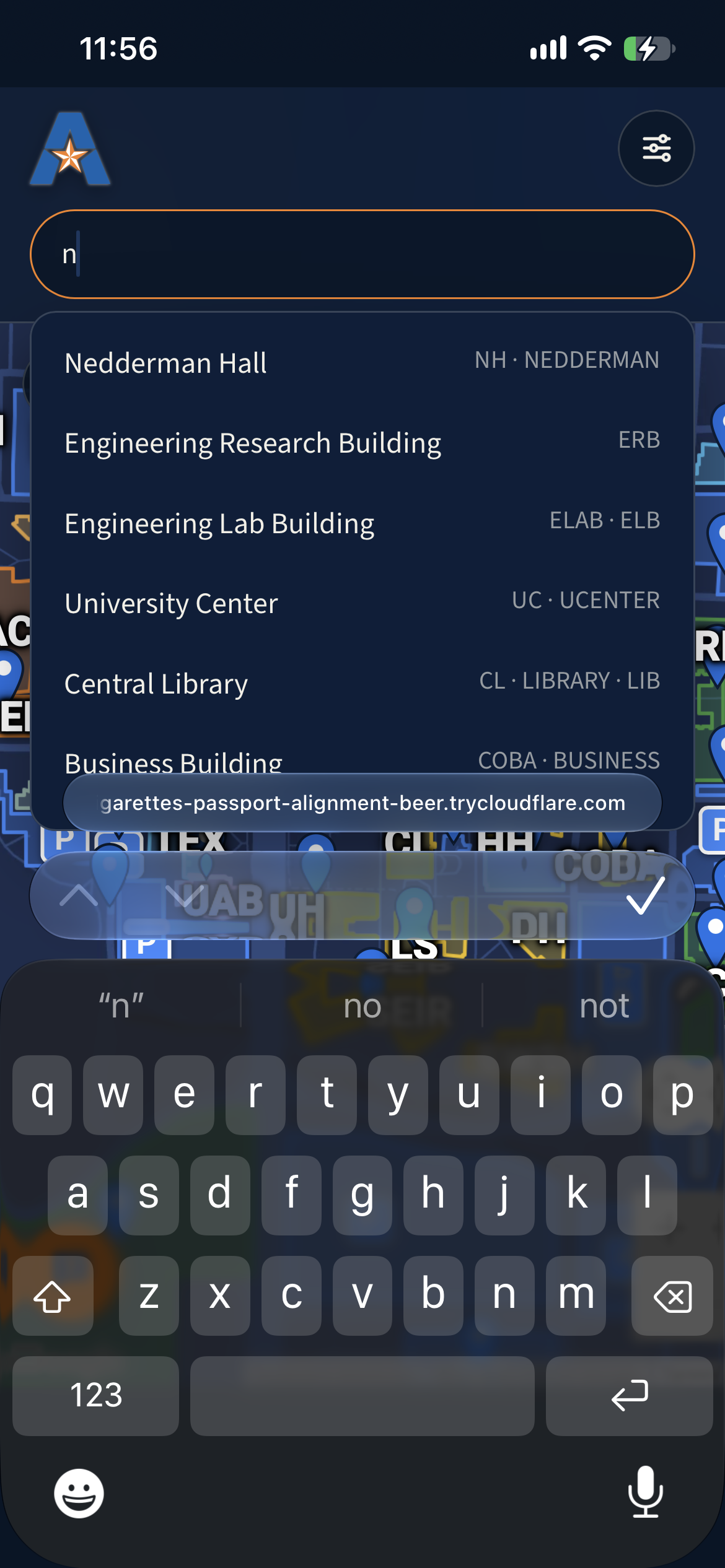
Search Buildings
-
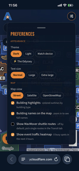
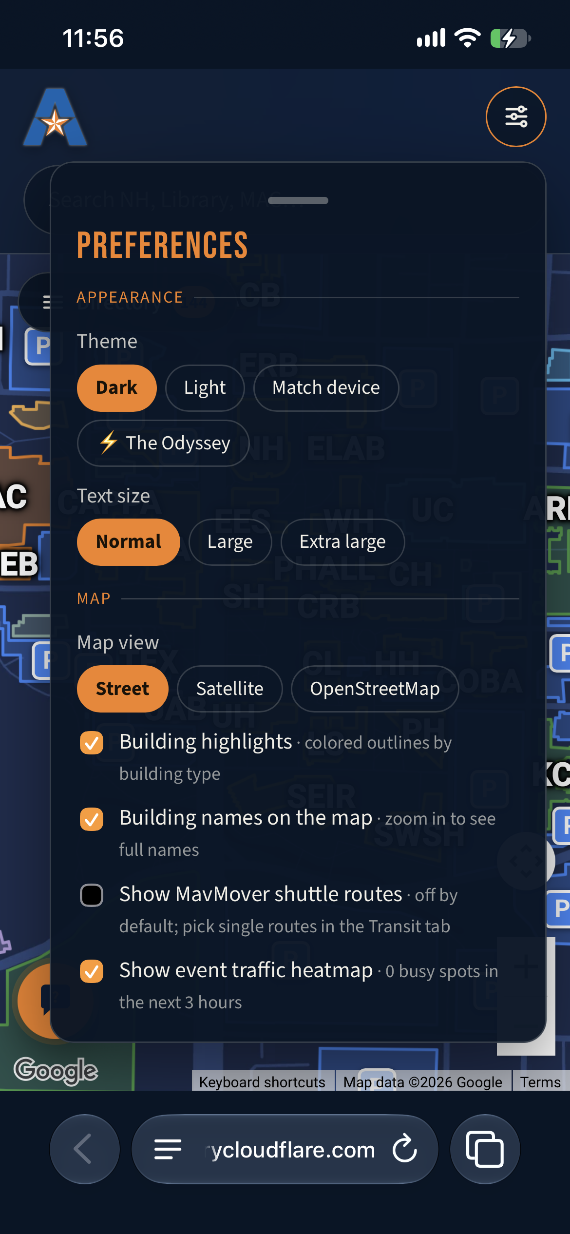
Preference Tab
Inspiration
Frustration with lack of navigation support for getting around campus
What It Does
- Displays buildings
- Bus routes
- Dorms, other buildings of note, and how to get to each one.
How We Built It
- Used Cursor for the skeleton
- Google API with Python and React to build map features and customization
- Claude code used to debug and implement features faster.
Challenges We Ran Into
- Issues with precise location data
- Lack of parking lot mapping
- Lack of precise path mapping (using sidewalks)
- Constructing chatbot for accurate classroom and event questions
Accomplishments That We're Proud Of
- Buildings are color-coded and highlighted
- MavMap shows shuttle routes
- Odyssey Themed interface option
- Pulled event data and added it to MavMap app to make getting around and connecting with students on campus easier
- The event feature also provides an incentive for people to continue to use the app even after they have learned their way around campus.
What We Learned
- We learned how to use Google API and how to track location data.
- We used Python and JavaScript to make highlighted sections of a map, create custom windows, and text.
- Used JavaScript to create custom themes for maps and animations.
What's Next For MavMap
- Indoor mapping/floor plan feature to make finding specific rooms.
- Study areas easier.
Built With
- cloudeflared
- fastapi
- google-directions
- google-maps
- google-places
- javascript
- node.js
- python
- react
- vite

