-

Logo
-
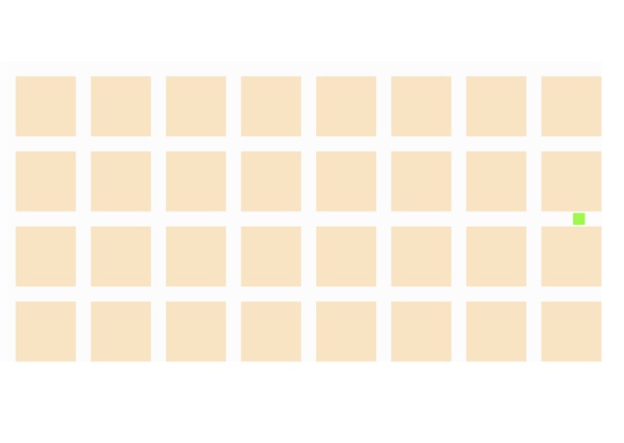
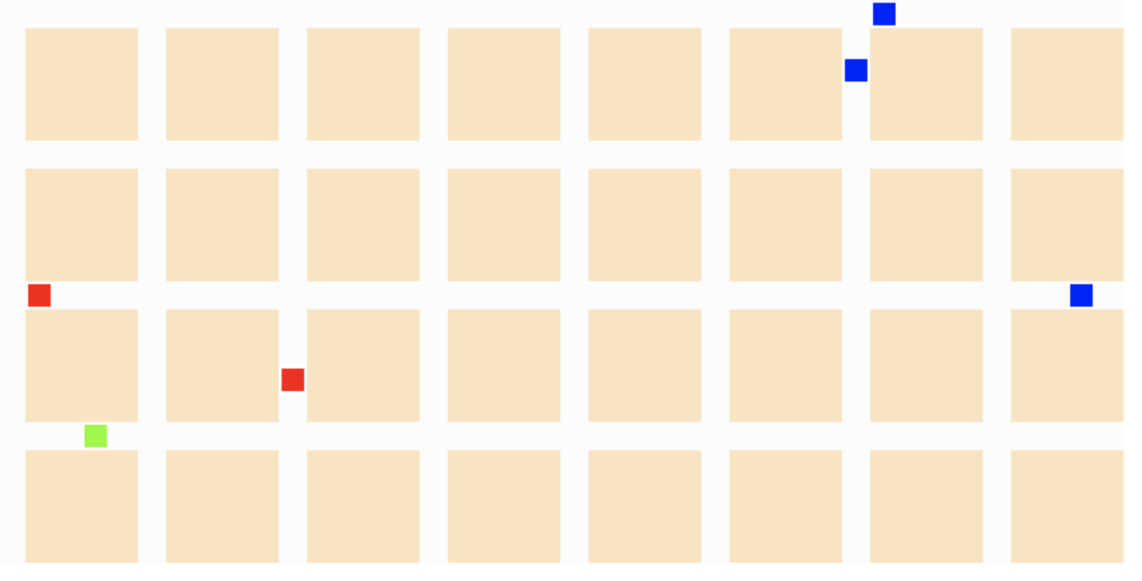
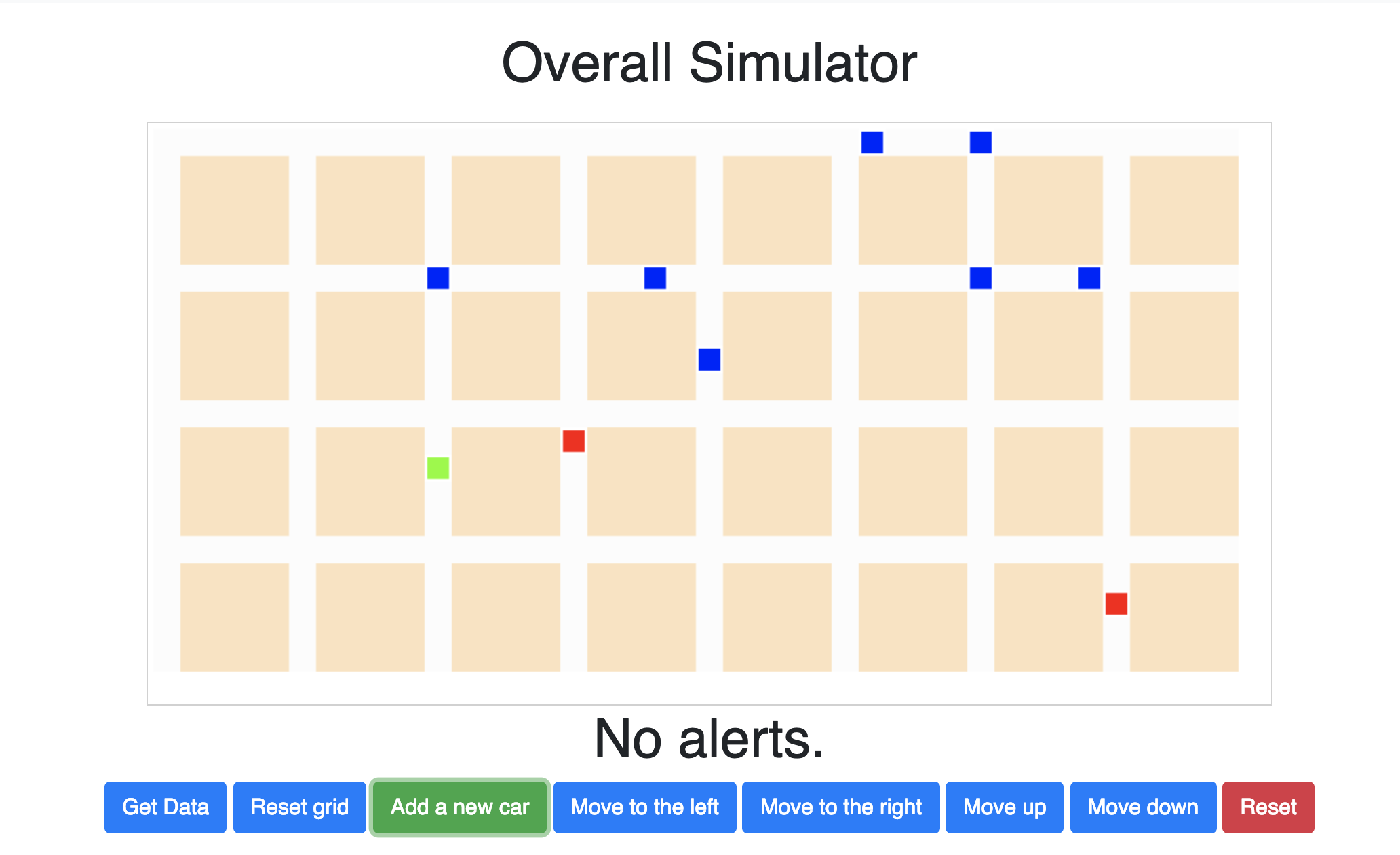
A civilian vehicle represented by the green box.
-
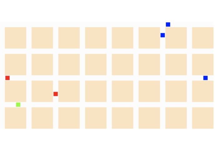
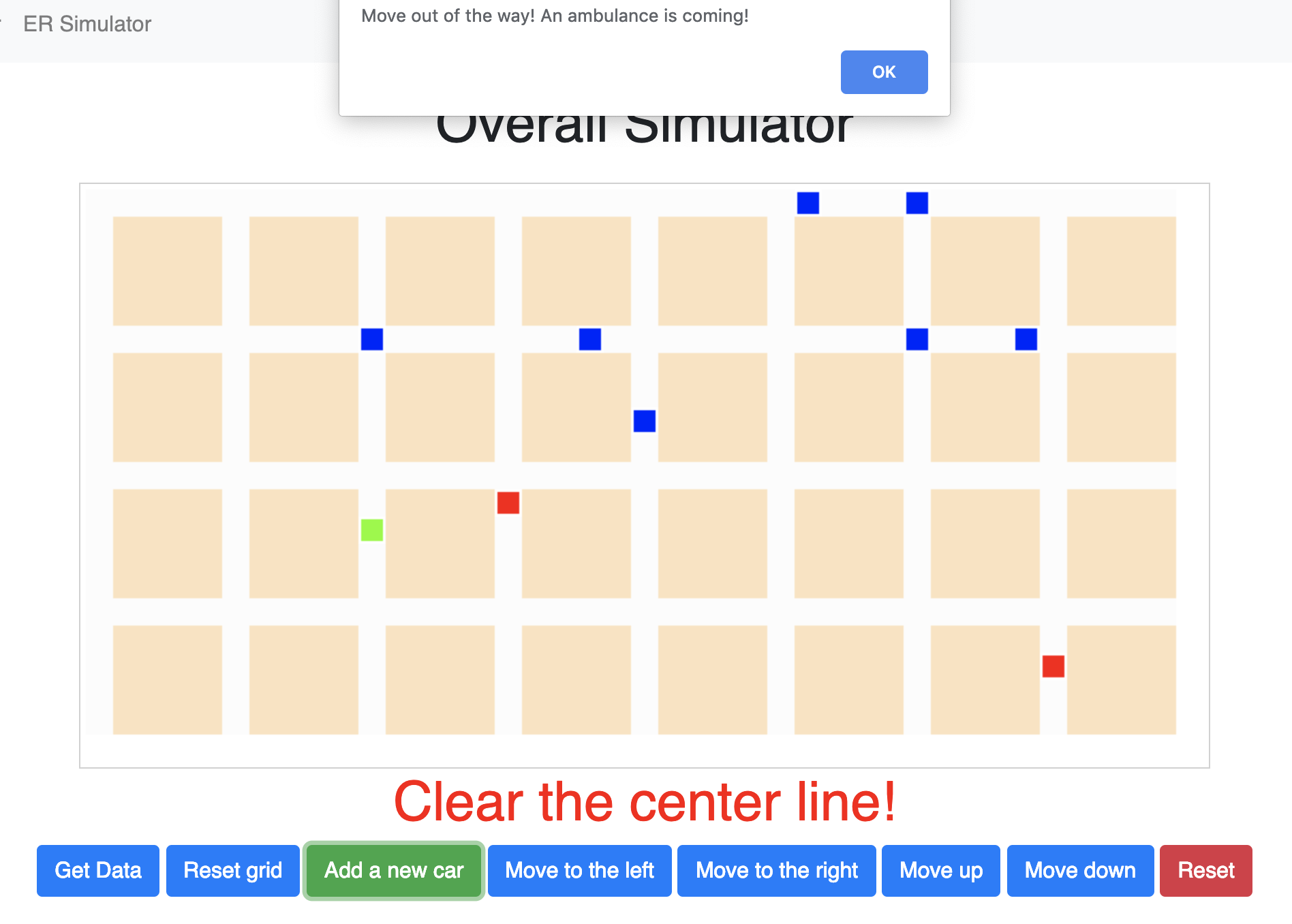
Red squares represent ER vehicles, blue squares represent civilian cars, green square represents car that user is controlling.
-
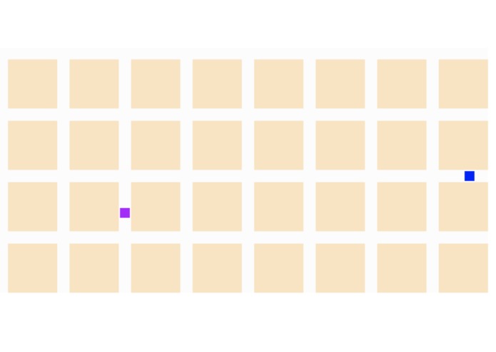
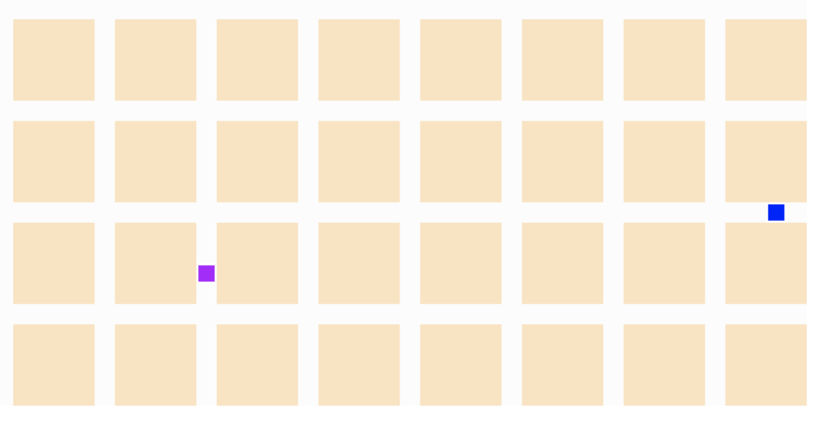
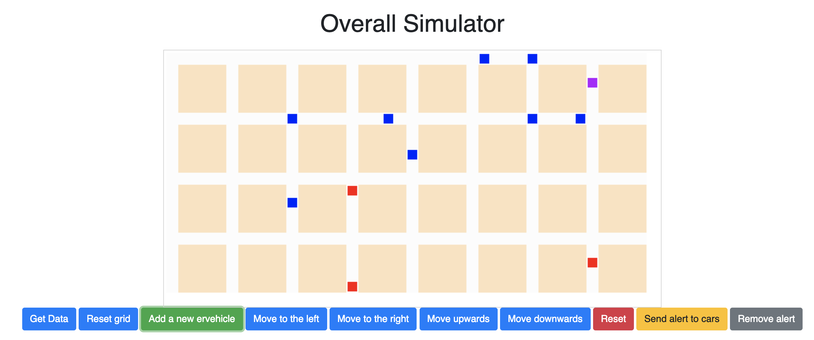
Purple square represents ER vehicle that user is controlling.
-
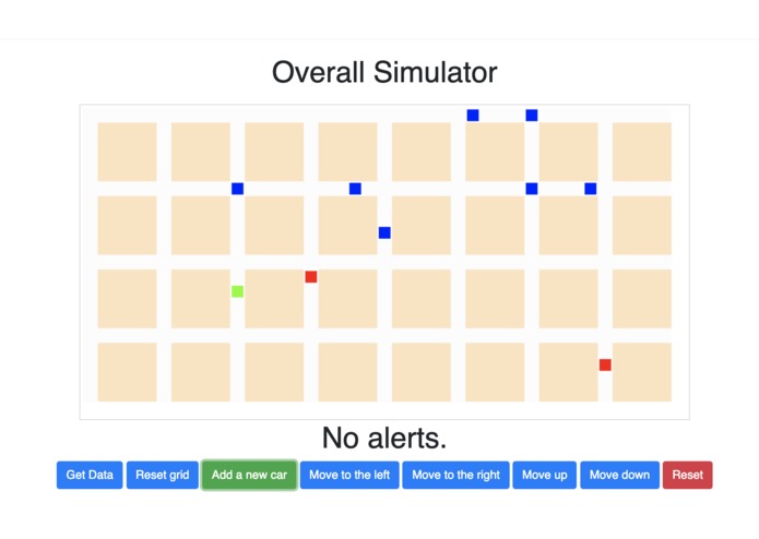
Interface of civilian user prior to the alert being sent.
-
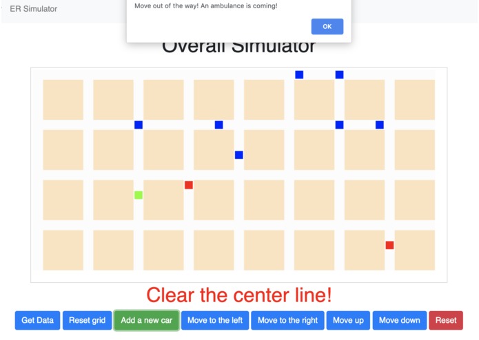
Interface of civilian user receiving the alert.
-
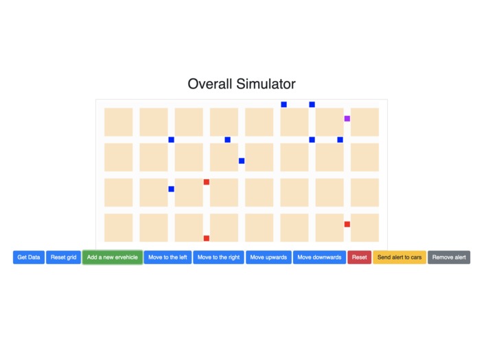
Interface of ER vehicle user.


Inspiration
In Canada, the national response time goal for paramedics is a generous 9 minutes for the most serious emergencies, but even that goal is only being met 30% of the time. This means that many are not receiving the care they immediately need, and in cases such as heart attacks, this delay may be fatal. FastER was created with the ambition of dramatically reducing that transportation time, which ultimately has the potential of thousands of lives.
What it does
FastER is an installable mobile application that alerts its users of incoming ER vehicles even before they can hear or see them, allowing them to clear the road in advance, thus reducing the ER vehicles' lost time caused by traffic. The application offers its users an estimated time of arrival of the ER vehicles and gives them an instruction to efficiently clear the path.
FastER will also be automatically connected to the emergency vehicles, hence when they are assigned to navigate to a particular location, the most time-effective path will automatically be generated for them. This data is then uploaded to the server and notifies all cars that are on the ER vehicles' path with specific instructions.
How we built it
We had to first implement a geographical map. However, considering the limited timeframe of our project, we decided to first use a 20x40 grid as our map instead of a real city, since our idea would be much easier to implement instead of learning to use map APIs or SDKs. Each square within the grid would represent either a building, an empty road, a road containing a car or a road containing an ER vehicle. We then gave these vehicles the functionality to move on an empty road. Then, we started programming to roo
Challenges we ran into
We had to initialize virtual cars and ambulances on the graph. This required using extensive Object Oriented Programming on the backend and developing aesthetically appealing visualizations on the frontend, and making sure that the API would communicate between them. Another challenge was to ensure that the laws of physics were respected. Cars couldn't go through walls or crash into other cars. Finally, we had to develop a system that would allow cars to collectively move to make room for emergency vehicles and to alleviate traffic, all in real time.
Accomplishments that we are proud of
We are very proud to have successfully integrated a notification system that alerts civilian vehicles of an incoming ambulance, in addition to having successfully implemented a pathfinder for ER vehicles.
What's next for FastER
With the time that we had during this 24-hour hackathon, we were able to create a functioning application that allows both civilian users to receive a notification and ER vehicles to plan their path. Our next step would be to start generalizing this program to real-life city maps. Then, we would fine tune this application to determine the optimal path for ER vehicle with consideration of the traffic, not just looking from a Euclidean distance. Ultimately, we wish to deploy this application in real-life and offer it to governments.


Log in or sign up for Devpost to join the conversation.