Inspiration
Most navigation apps like Google Maps focus only on the fastest route. But in real life, especially in Indian cities, the fastest route is not always safe. It can take you through dark or isolated areas. I wanted to solve this by creating a system that actually considers safety while routing.
What it does
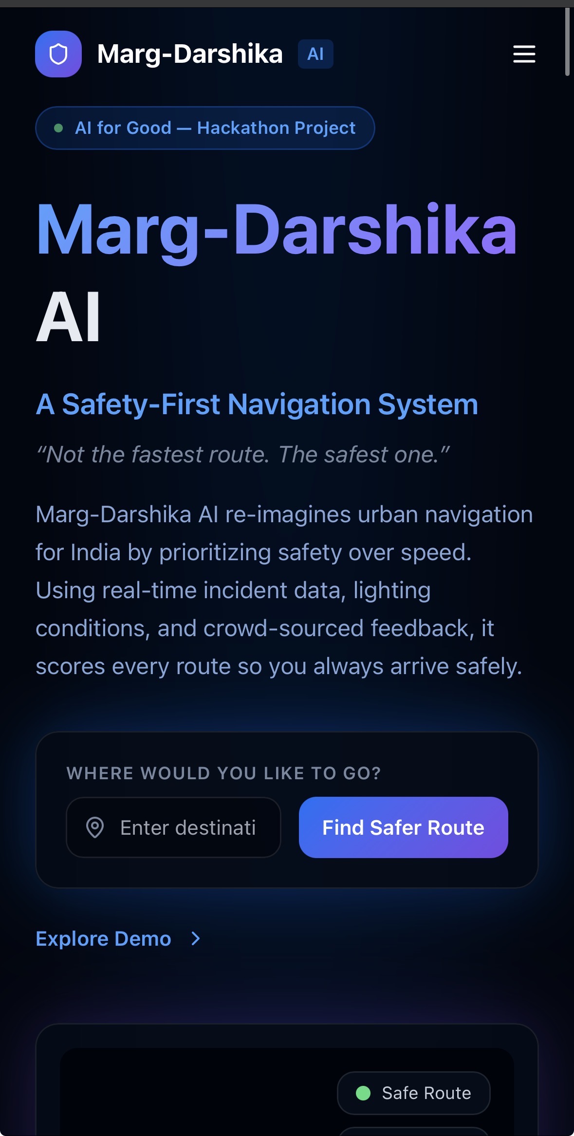
Marg-Darshika AI is a navigation system that suggests safer routes instead of just shorter ones.
It gives every road a Safety Score based on things like activity, lighting, crime data, and time of day. Then it chooses routes that avoid risky or isolated areas, even if they are slightly longer.
How we built it
We built the system using: • Crime data from National Crime Records Bureau • Location data like shops, hospitals, and public places • Time-based activity patterns • User feedback
All this data is combined into a Safety Score for each road. Then routing is done based on both distance and safety using a geospatial backend.
Challenges we ran into • Crime data is not very detailed, so we had to estimate risk • No real-time safety data exists, so we used activity patterns as a proxy
• Balancing safety and route length was tricky
Accomplishments that we’re proud of • Built a working idea that solves a real-world problem • Created a system that turns “safety” into measurable data • Designed a routing method that is different from traditional apps • Made the concept practical, not just theoretical
What we learned • Real-world problems are much harder than they look • Data is often incomplete and messy • Simplicity is important when explaining complex ideas • Thinking from a user’s perspective makes a big difference
What’s next for Marg-Darshika AI • Start with one city and test it properly • Improve accuracy with more real-time data • Add more user feedback features • Make it into a usable mobile app for daily navigation

Log in or sign up for Devpost to join the conversation.