InspirationInspiration
Creating maps is a complex challenge that involves many factors in order to produce accurate and up-to-date representations of the real world. Since the world is constantly changing, it's crucial to have systems in place that keep geographic information current.
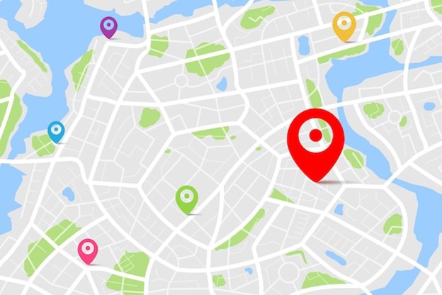
What It Does MapSnap generates digital maps by identifying points of interest (POIs), calculating their real-world coordinates, and validating whether those places still exist today.
How We Built It Initial Dataset Processing We started with a dataset containing various points of interest and related metadata. Our first step was to verify whether the POIs were valid. We discovered that each point included useful attributes such as link_id, which is tied to specific map coordinates.
One of the main challenges we identified was the issue of multiple digital attributions for the same physical location. To address this, we filtered the data to focus only on duplicated POIs and ensured their validity.
After cleaning the data, we compiled all relevant information (e.g., POI name, street name, address) into structured JSON files.
Coordinate Calculation and Google Maps Validation To determine the precise location of each POI, we used the reference node and a value between 0 and 1 from the dataset, which indicates the side of the street the POI is on and its relative distance along the street.
We then saved the name, accurate coordinates, and side-of-street data into a new JSON file.
Next, we used the Google Places API to validate whether each POI existed in real life. For this, we passed in the calculated coordinates and searched within a 20-meter radius. If the API returned a place that matched the POI's name, we considered it a valid match. We chose a 20-meter range to allow a reasonable margin of error.
This process allowed us to generate:
A JSON file containing all POIs (both valid and invalid).
A separate JSON file with only the confirmed, valid POIs.
Challenges We Ran Into Even though we were able to cross-check POIs using the Google Places API and our calculated coordinates, we encountered issues when place names had small variations, which made it difficult to get accurate matches. Additionally, using a 20-meter radius sometimes led to false positives due to overlapping or nearby locations.
Accomplishments We're Proud Of We're proud that we successfully calculated accurate coordinates and validated over 4,000 POIs based on their real-world existence.
What We Learned We gained a deeper understanding of the complexity involved in creating and maintaining accurate maps. We also learned about the many technical and contextual factors that must be considered when tackling this type of problem.

Log in or sign up for Devpost to join the conversation.