Inspiration
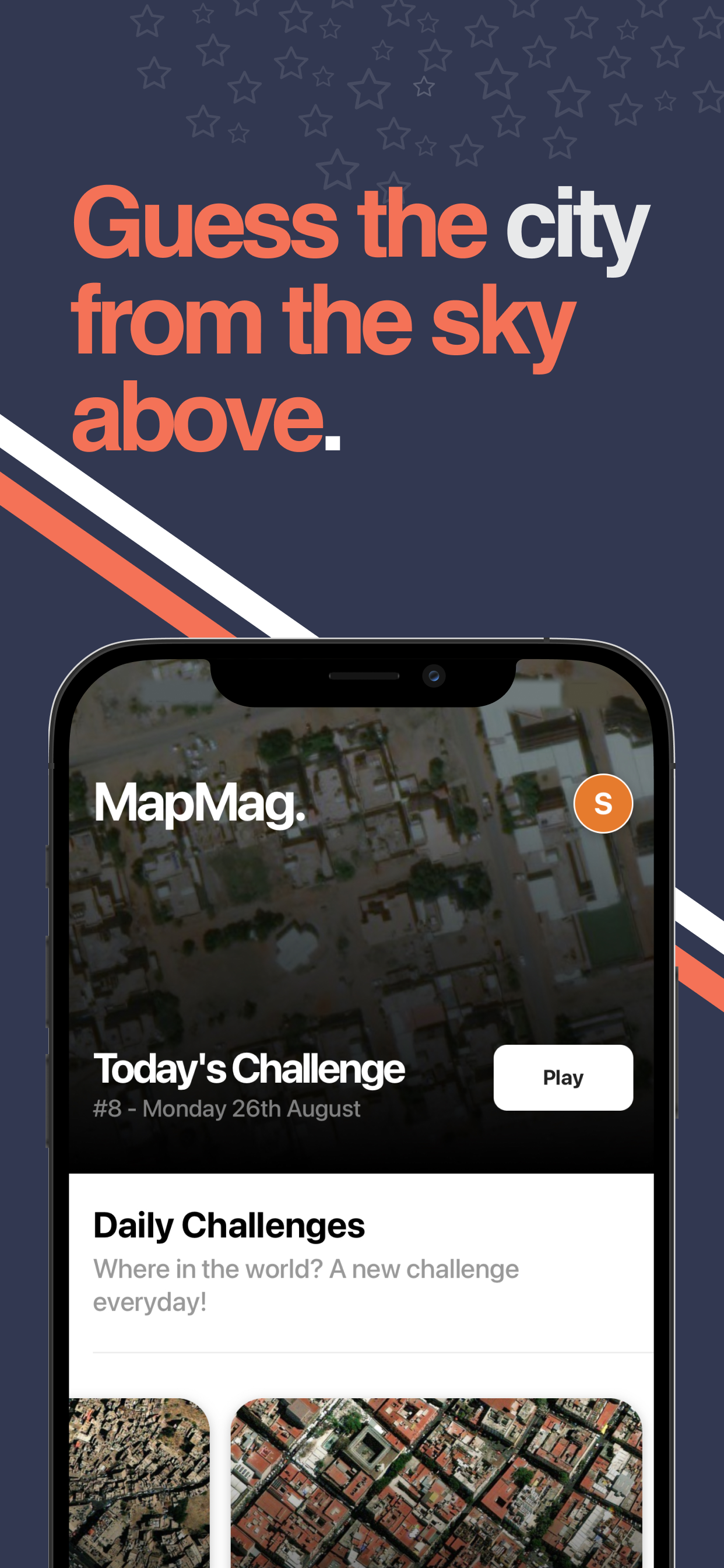
MapMag was inspired by my love for geography and aerial photography. Apple Maps has come a long way over the years and its aerial images are steps ahead of others. I wanted to create a game that combines my love for aerial photography while making use of the latest Apple Maps - at its core it's about allowing users to explore and identify cities from unique bird's-eye perspectives.
What it does
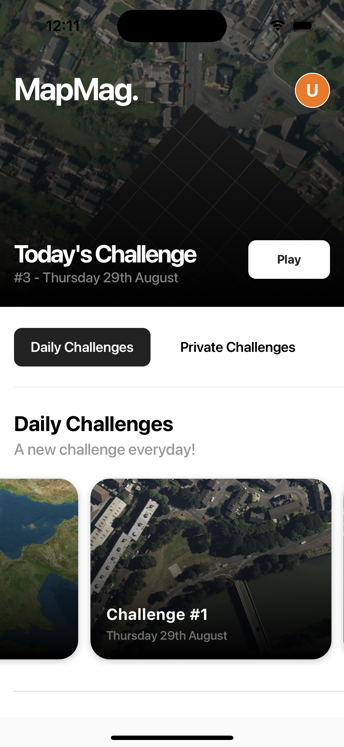
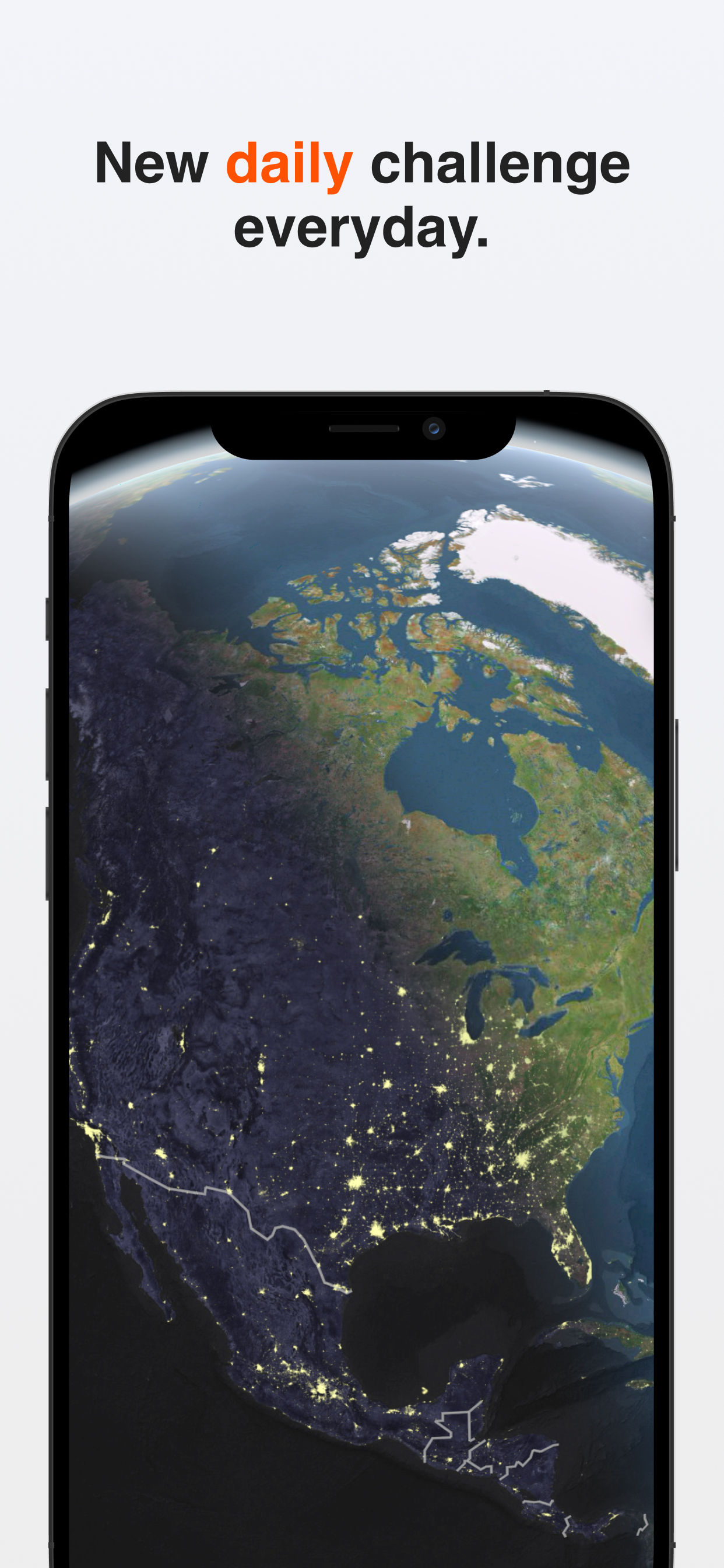
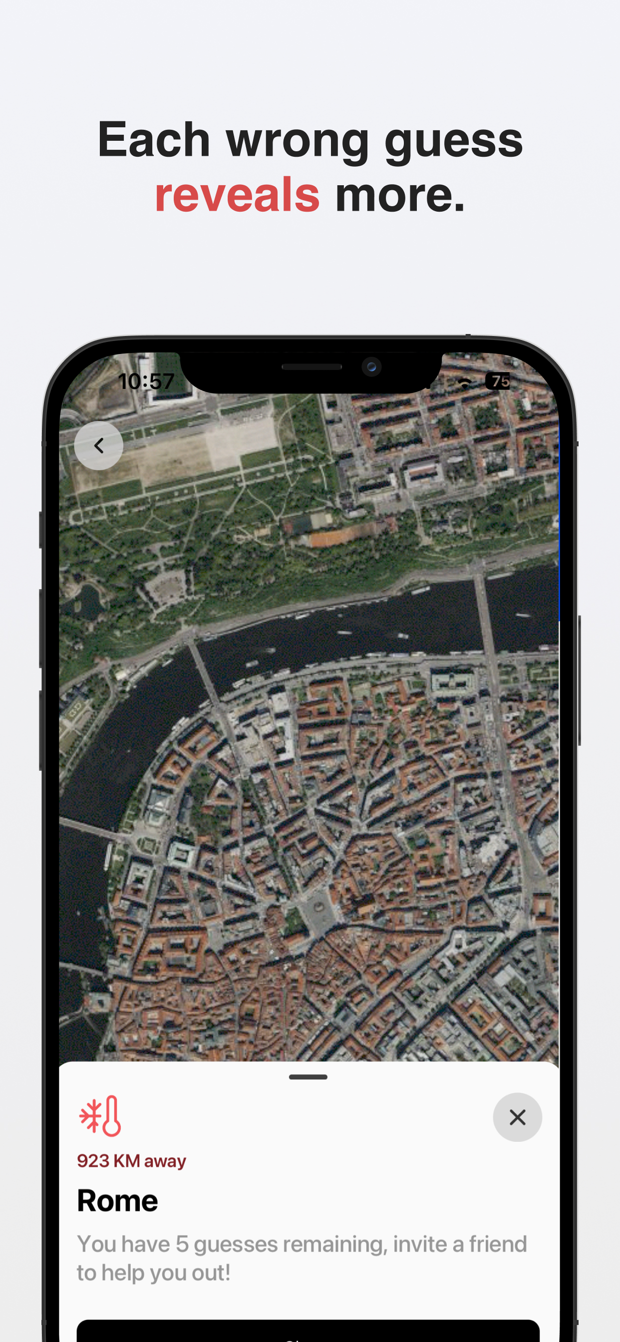
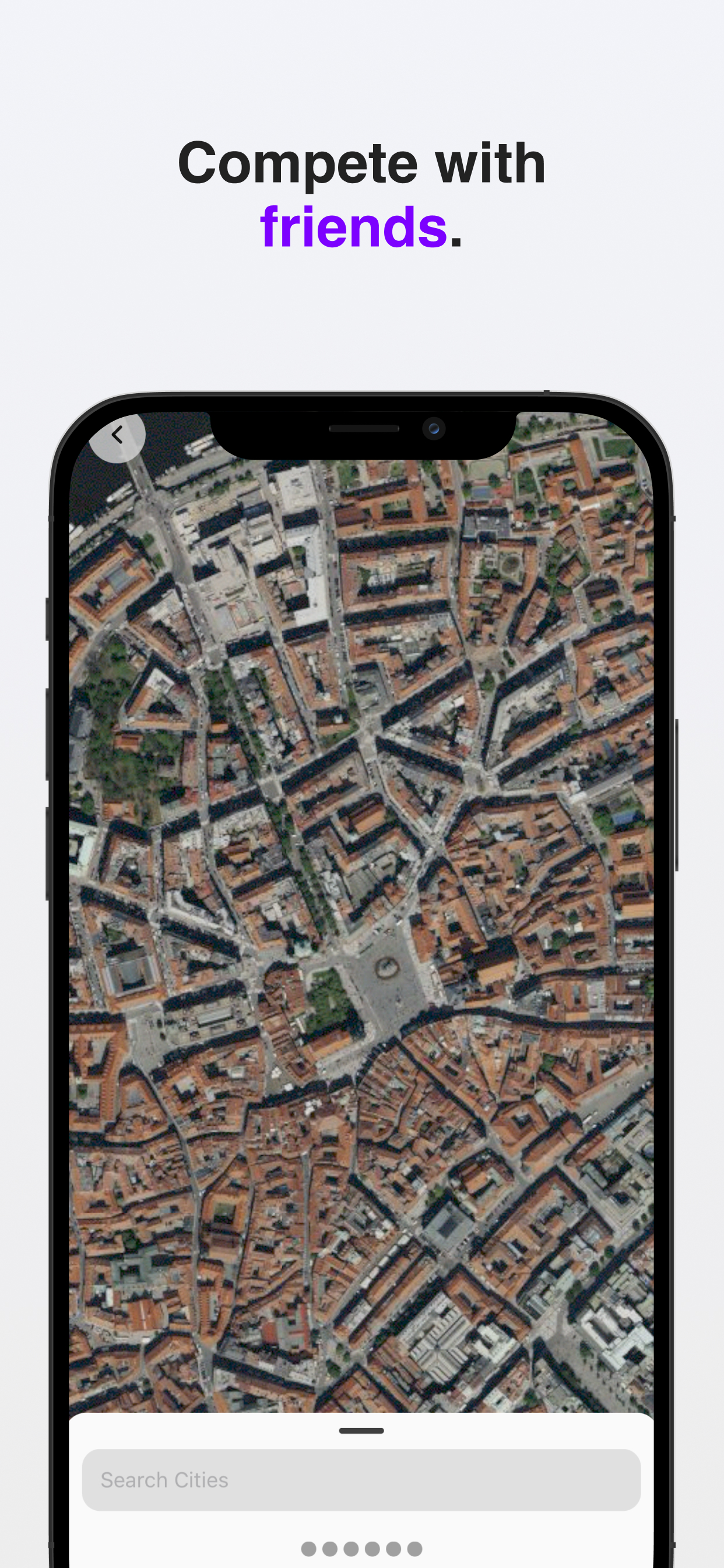
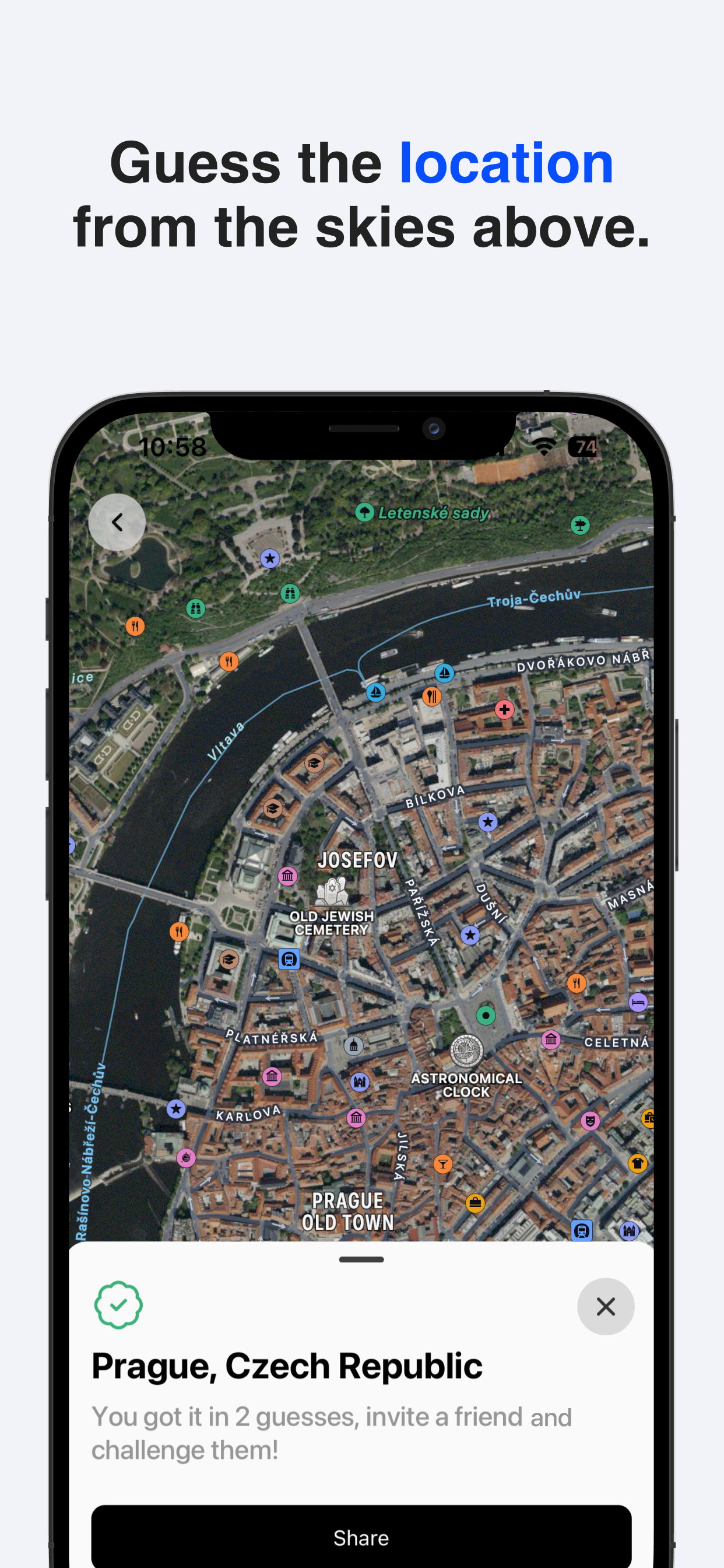
MapMag challenges players to identify cities & landmarks from aerial images. With daily challenges and zoom-out hints, it offers a fun and educational way to test and expand your geography knowledge.
Accomplishments that we're proud of
We successfully created a visually engaging and educational app that enhances geographical knowledge. We are particularly proud of the daily challenges feature and the imagery available across the app enhancing a rich user experience. Who doesn't love aerial imagery?
What's next for MapMag
We have some interesting themes launching soon which remain focused on providing beautiful aerial shots beyond just cities. At the start of the project I wanted to avoid promoting the core of the app as AI-focused but there are some fun educational creative ways I'm planning to introduce with AI to enhance the user experience - watch this space!
Built With
- maps
- nestjs
- postgresql
- react-native
- revenue-cat

Log in or sign up for Devpost to join the conversation.