-
-

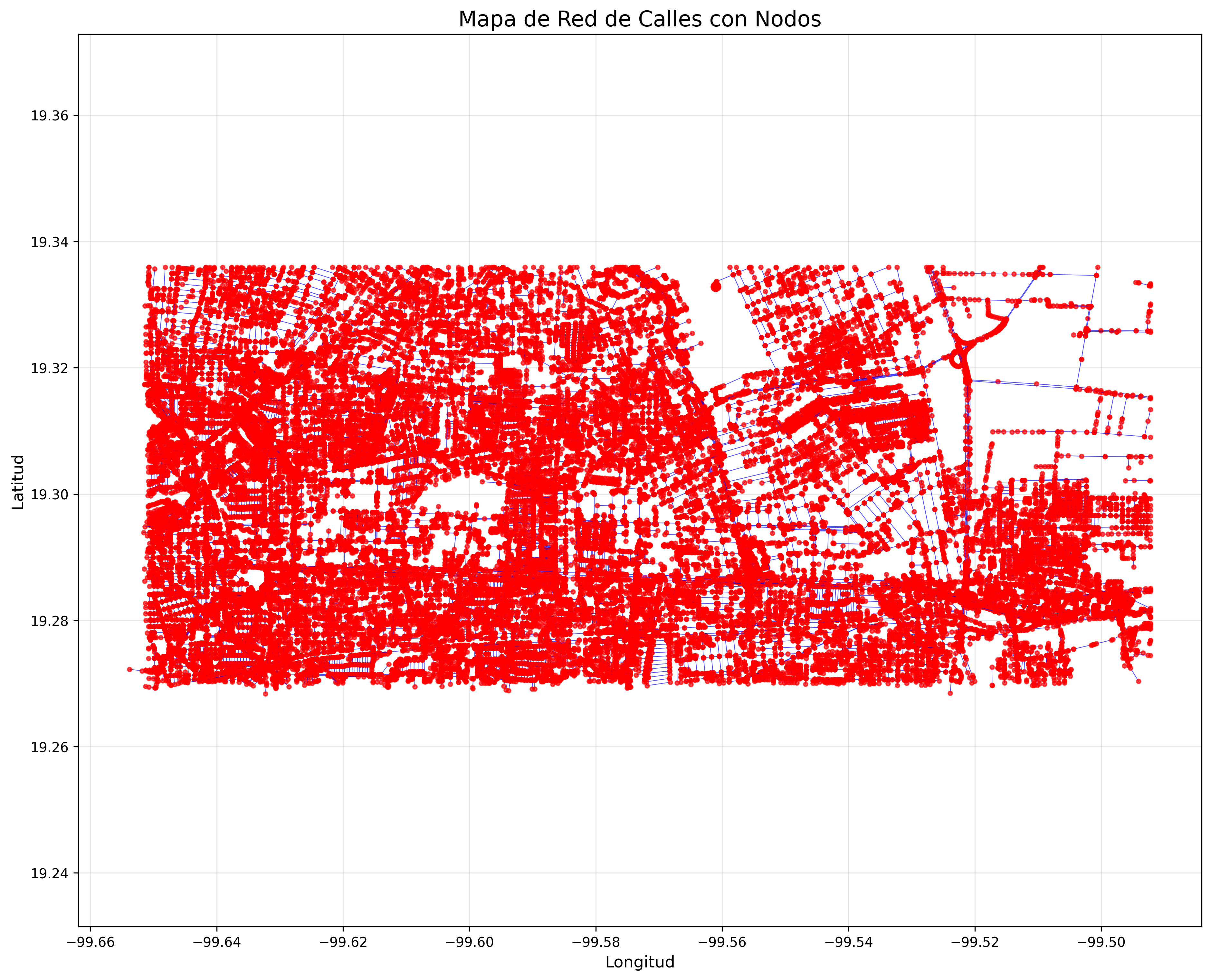
Mapa
Inspiration
We were inspired by the growing necessity to reliably understand the world as it grows smaller and we find ourselves getting more and more involved with cities and people who seemed almost alien before.
What it does
SmartPOI Fixer automatically analyzes complex road geometries, detects spatial inconsistencies, and corrects errors in map data to enhance accuracy and trustworthiness.
How we built it
We combined advanced geometric algorithms with spatial data analysis, leveraging Python libraries like GeoPandas to process large GeoJSON datasets efficiently and clean the data automatically.
Challenges we ran into
Handling massive datasets with diverse inconsistencies and ensuring our corrections didn't introduce new errors required careful balancing and iterative testing.
Accomplishments that we're proud of
We successfully automated the detection of multi-digit road segment errors, making progress towards improving data quality without manual intervention, setting a solid foundation for scalable map refinement.
What we learned
We deepened our understanding of spatial data structures, error patterns in urban mapping, and the importance of precise data cleaning in real-world applications.
What's next for SmartPOI fixer
We plan to expand the tool to detect more types of errors, become able to automaticallty fix them, integrate machine learning for predictive corrections, and collaborate with HERE to implement real-time map updates.

Log in or sign up for Devpost to join the conversation.