-

Map of Dodoma
-

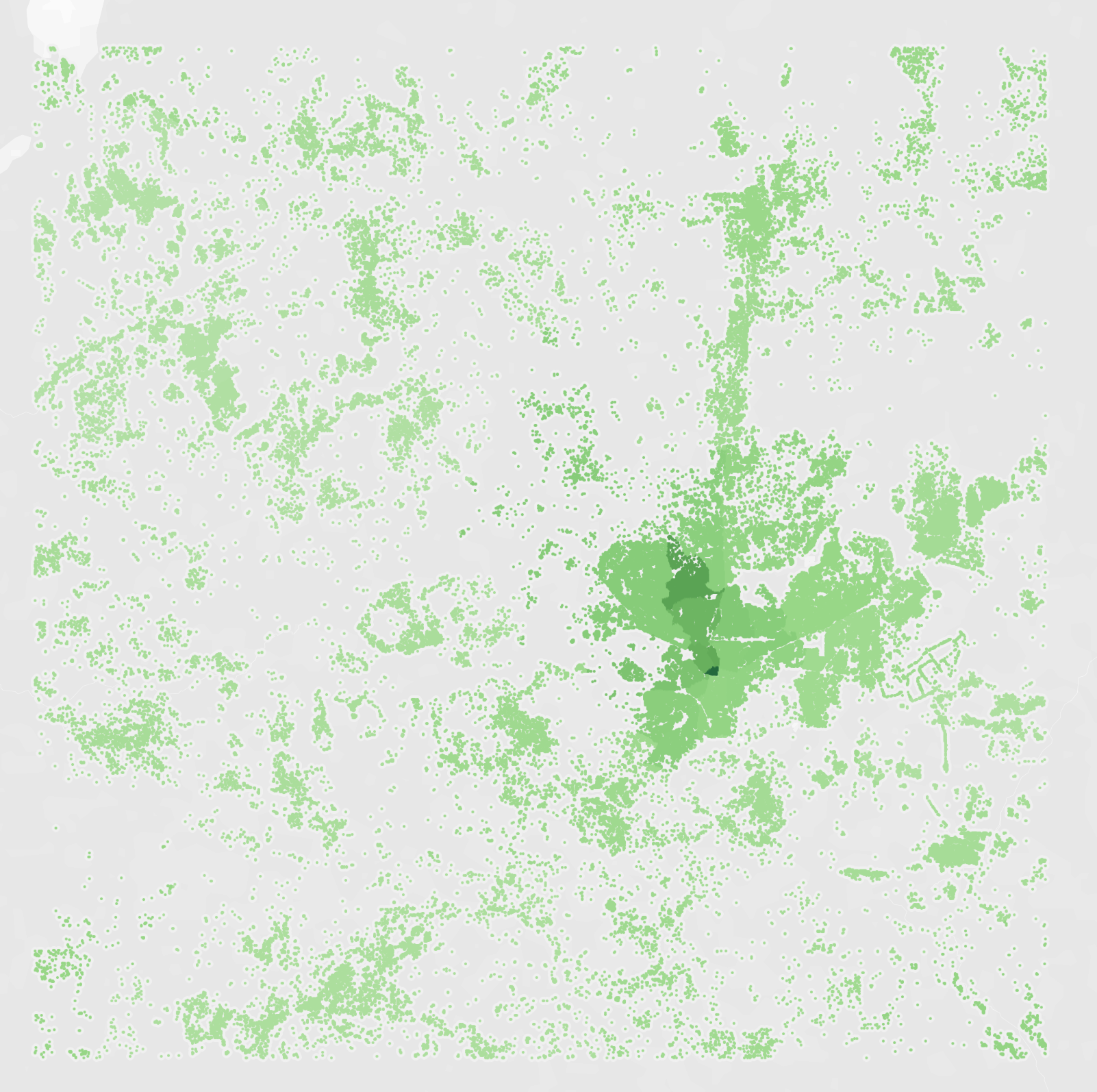
Population distribution of Dodoma
-

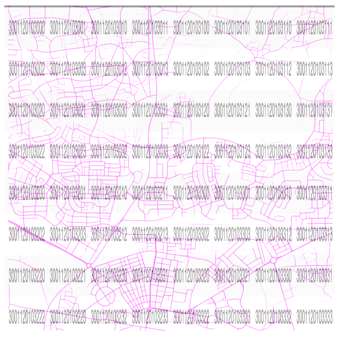
Pop dist. and road system
-

64 maps provided with label


Inspiration
How I built it
We used python (Pandas, Pytorch) for handling data and Tableau for visualization
Challenges I ran into
There are many challenges that we ran into.
- First, the data set is very big. We got the longitude and latitude of 8192 x 8192 x 64 pixels to work with. We have to use google cloud to run our code and have to optimize the calculation many times.
- Secondly, since working with floating-point requires an insane amount of computer memory, we try to work with pixels location and then scale back to the actual long and lat. However, the distance between each pixel is not a constant, so our calculation is off a little bit.
- Thirdly, there are 2 questions for this competition and we cannot solve the second one if we cannot finish the first one.
Accomplishments that I'm proud of
We have applied a lot of mathematics and python knowledge to make our code run.
What I learned
We never deal with this type of problem before, so the challenge was a whole new experience for us. We learned that there are so many global size problems that we can solve using data science, including improving the lives of underdeveloped countries and millions of unfortunate people on earth
Future work
We have everything figured out. The only thing that we need is time to run the code. We definitely look into it after this competition and complete what we had left.

Log in or sign up for Devpost to join the conversation.