-
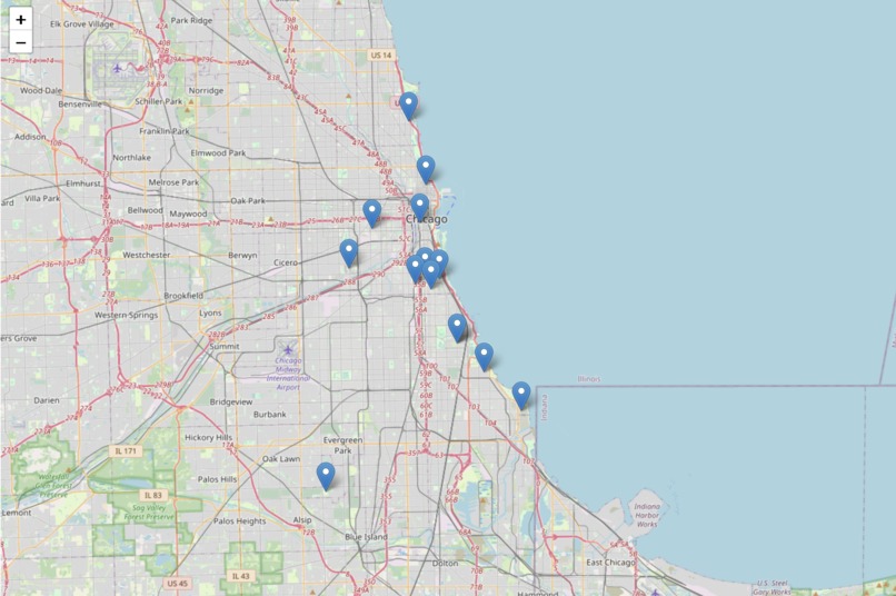
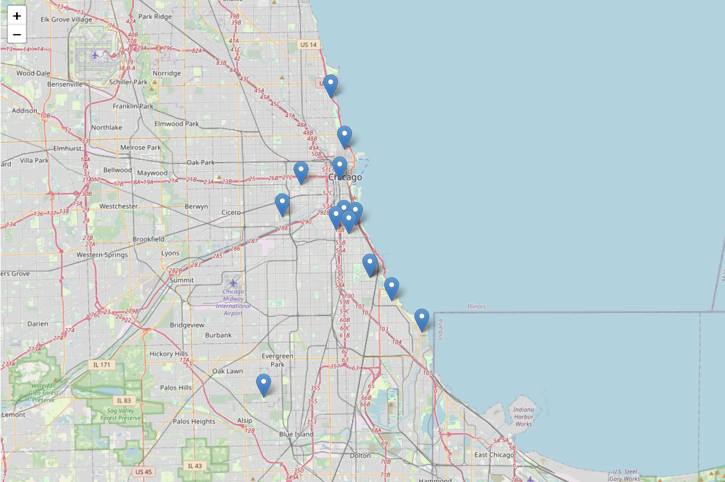
A map of nodes pointing to zones we’ve identified for improvement.
Inspiration
Most cities spring up as a result of natural growth and development. The result of this is that urban sprawl is rarely optimally designed for the people that wind up living in it. We’ve all found it difficult or confusing to access urban resources, so we designed an algorithm to help.
What it does
The algorithm splits cities up according to their zoning areas, and looks at zones with residential level populations. It then calculates the number of hospitals, schools, and precincts per applicable resident and identifies the zones where residents live too far from such resources or are under-supported by their local resources. Finally, the algorithm calculates how many additional resources each zone needs to adequately serve its population.
How we built it
We scraped CSV files from state databases to find zoning areas and relative populations. Similar databases gave us the locations of all the hospitals, police precincts, and schools in a state. We used that to compile a graph to compare zone density of resources vs population for each zone. We defined thresholds based on national averages and compared our computer densities to those thresholds to evaluate if a zone had adequate community resources.
Challenges we ran into
Definitely data sanitization was a big challenge, and making sure our input was standardized enough that our input handling could read the data from it took a good chunk of our time.
Accomplishments that we're proud of
We created a working final product with an easy to read output and a map interface.
What we learned
It was good practice with data handling and with javascript, as I had rarely used web based programming languages prior to this.
What's next for Managing Urban Development
We’re very excited with the project we’ve created and we hope to keep workshopping the idea to make it better.


Log in or sign up for Devpost to join the conversation.