Inspiration
We used to watch videos online where rovers would move all over the rocky Mars terrain, and we always wondered how they even knew where to go when the area was so big. I think the younger versions of ourselves would appreciate this project and would envision a GPS system whenever a rover moved around.
What it does
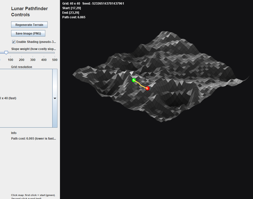
In general, it works exactly like a GPS. One can click two points on the terrain and will get a pathway generated so they can get there.
How we built it
We only used Java for this project, but imported many different libraries, such as ImageIO, Java Graphics, and Swing in order to make the project work well.
Challenges we ran into and Accomplishments that we're proud of
Though we knew how to generate the pathway and understood the coding behind everything, it was a lot of work getting the graphics onto the screen and working properly. In general, most of us have used Java purely for printing and simple graphics, so we didn't really know where to start. However, we're really impressed with how we were able to make this look truly real and bring the entire project to life.
What we learned
Working together to make something this big under a time crunch was really stressful, but we think it taught all of us to work under pressure and collaborate.
What's next for Lunar Pathfinder
We think that we can also provide directions for how to get to a specific location instead of purely a path. In general, we want the database to be as similar to a GPS as possible.

Log in or sign up for Devpost to join the conversation.