-
-

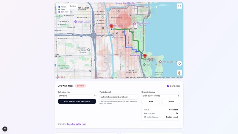
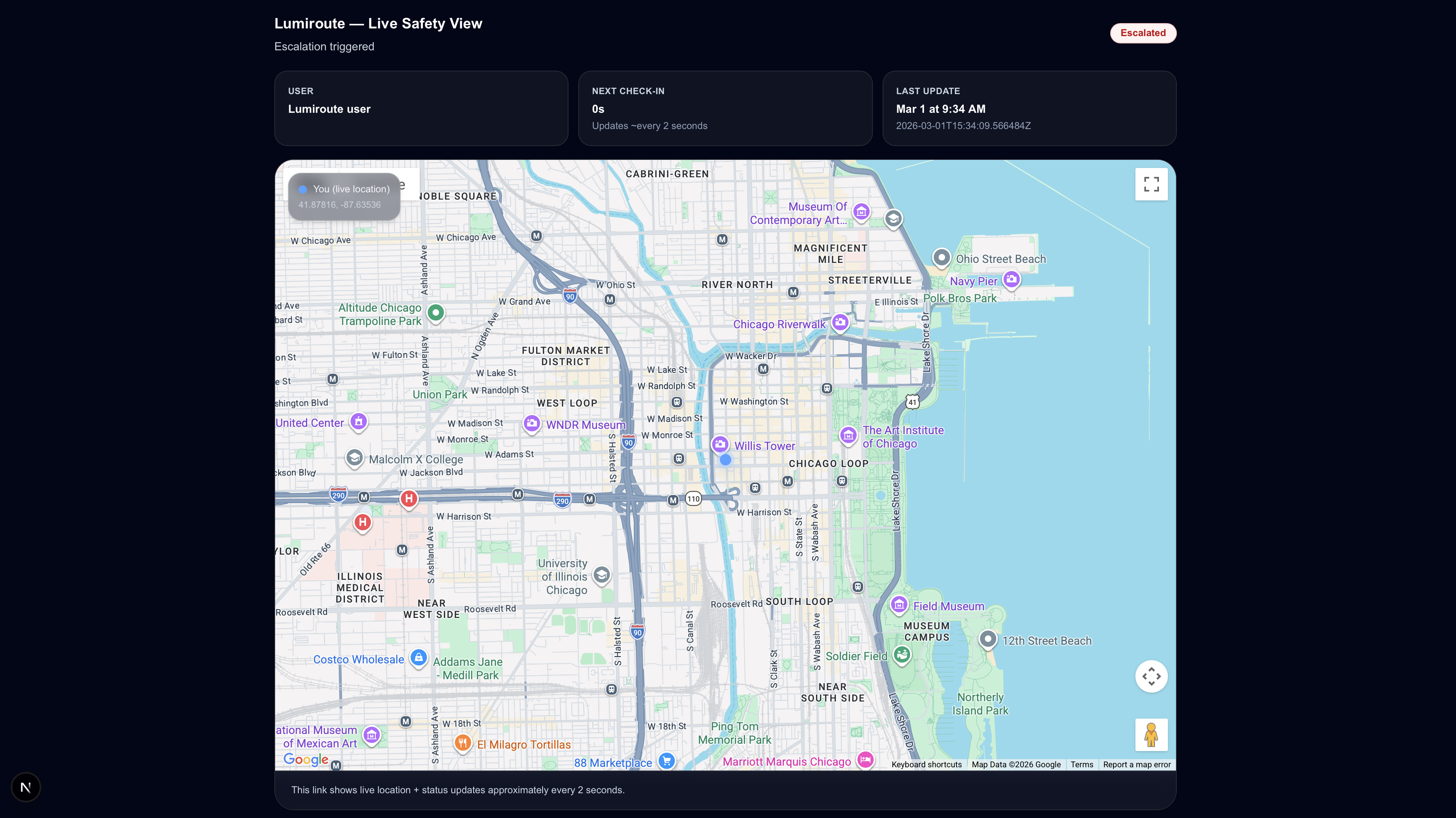
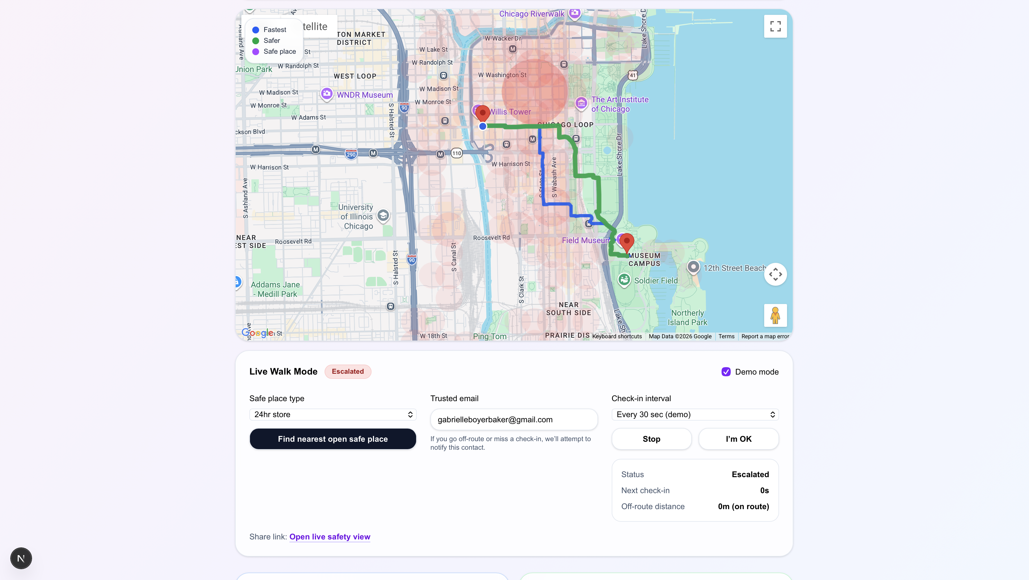
Live Walk Safety
-
Navigation End
-
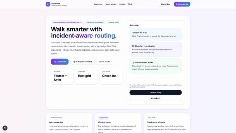
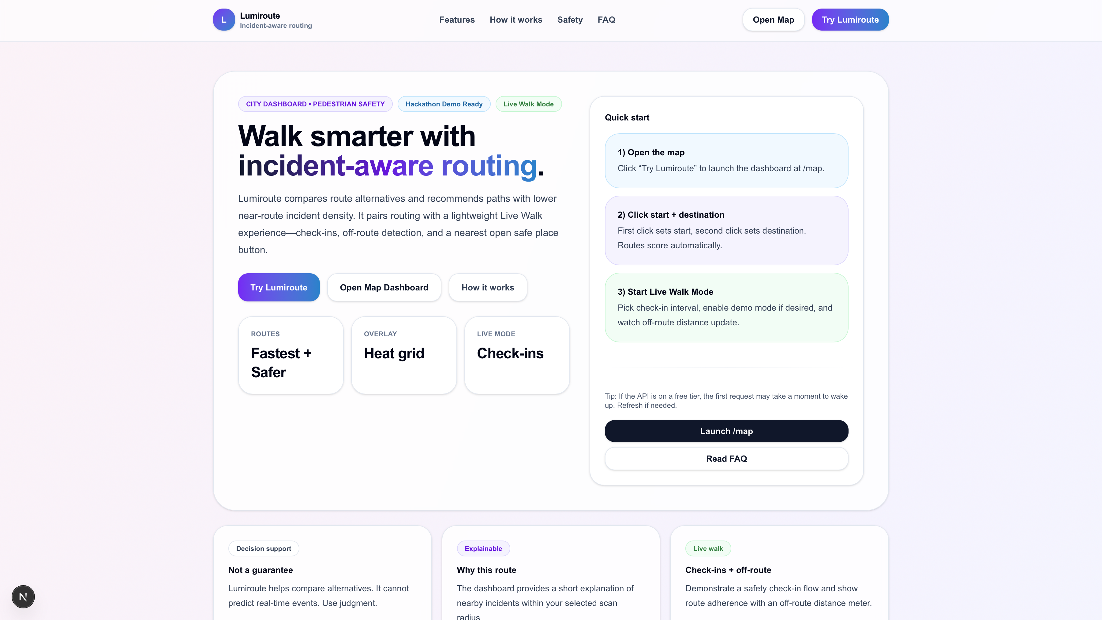
Welcome Landing Page
-
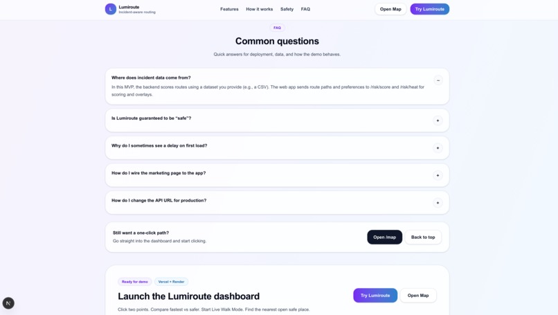
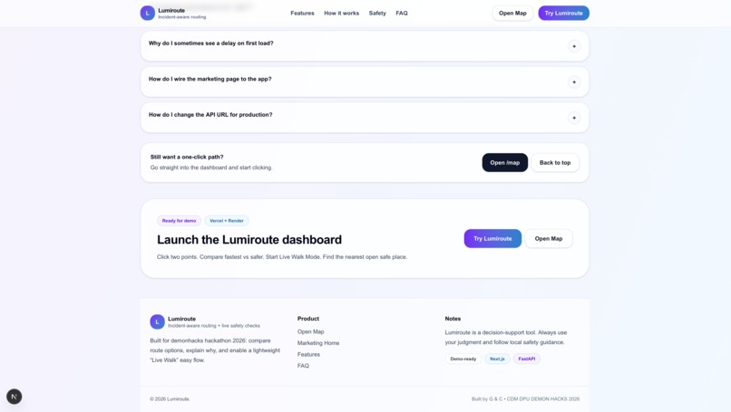
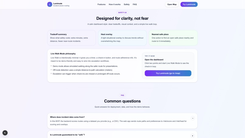
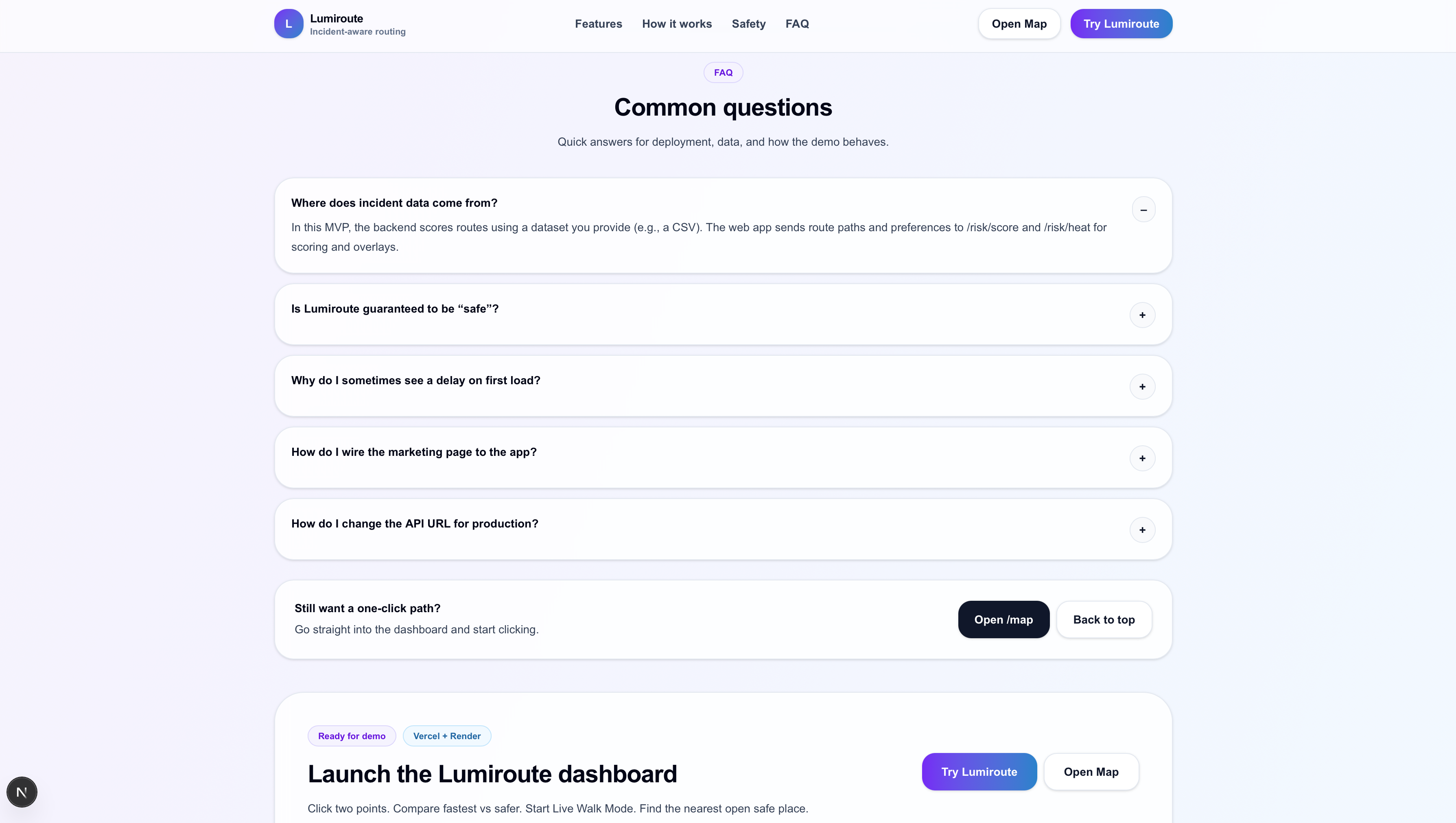
Common Questions
-
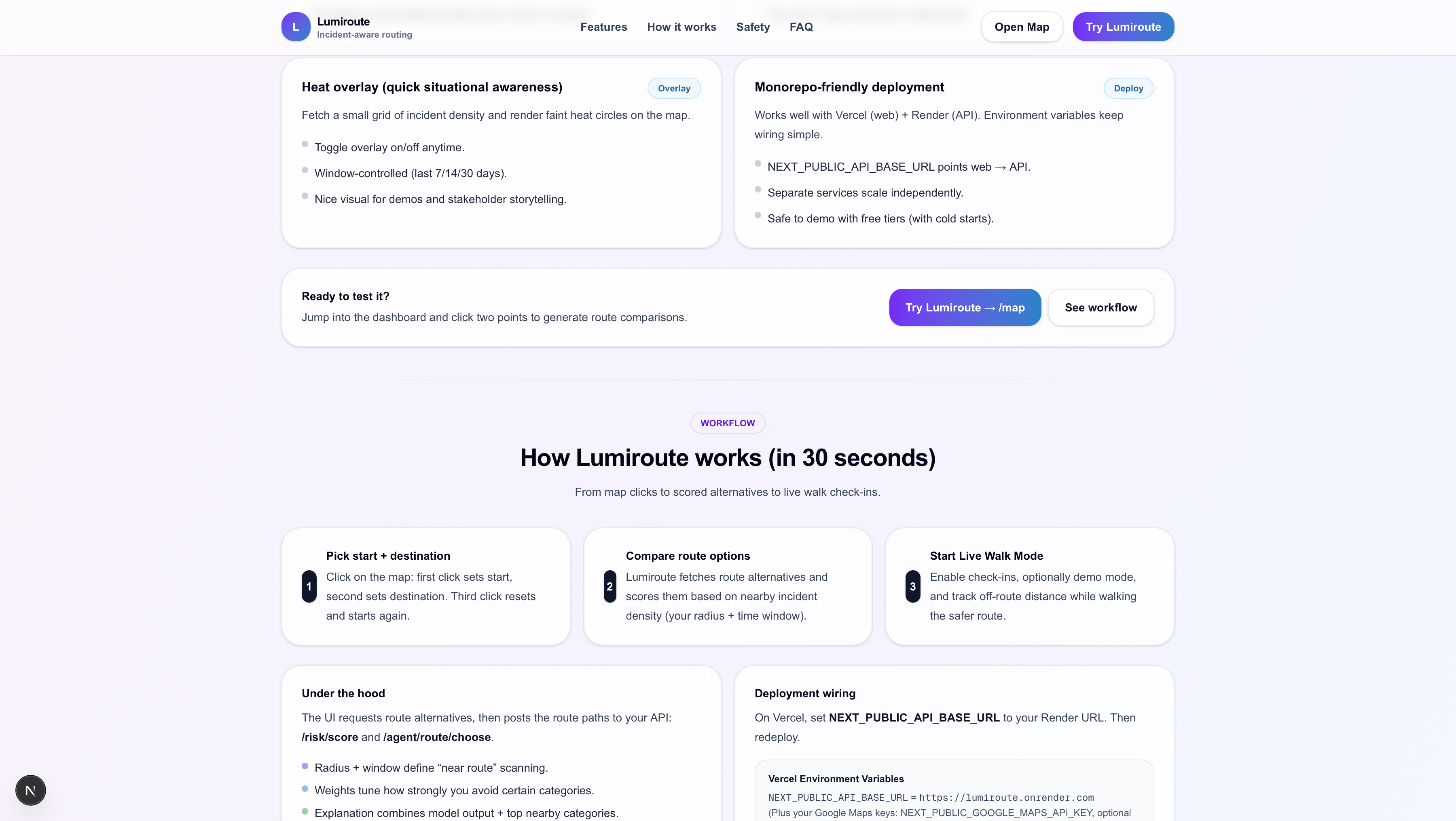
How it works
-
Understanding LumiRoute
-
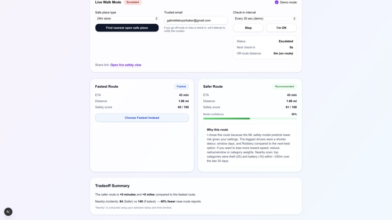
Safest vs Fastest with AI agent
-
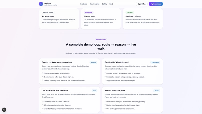
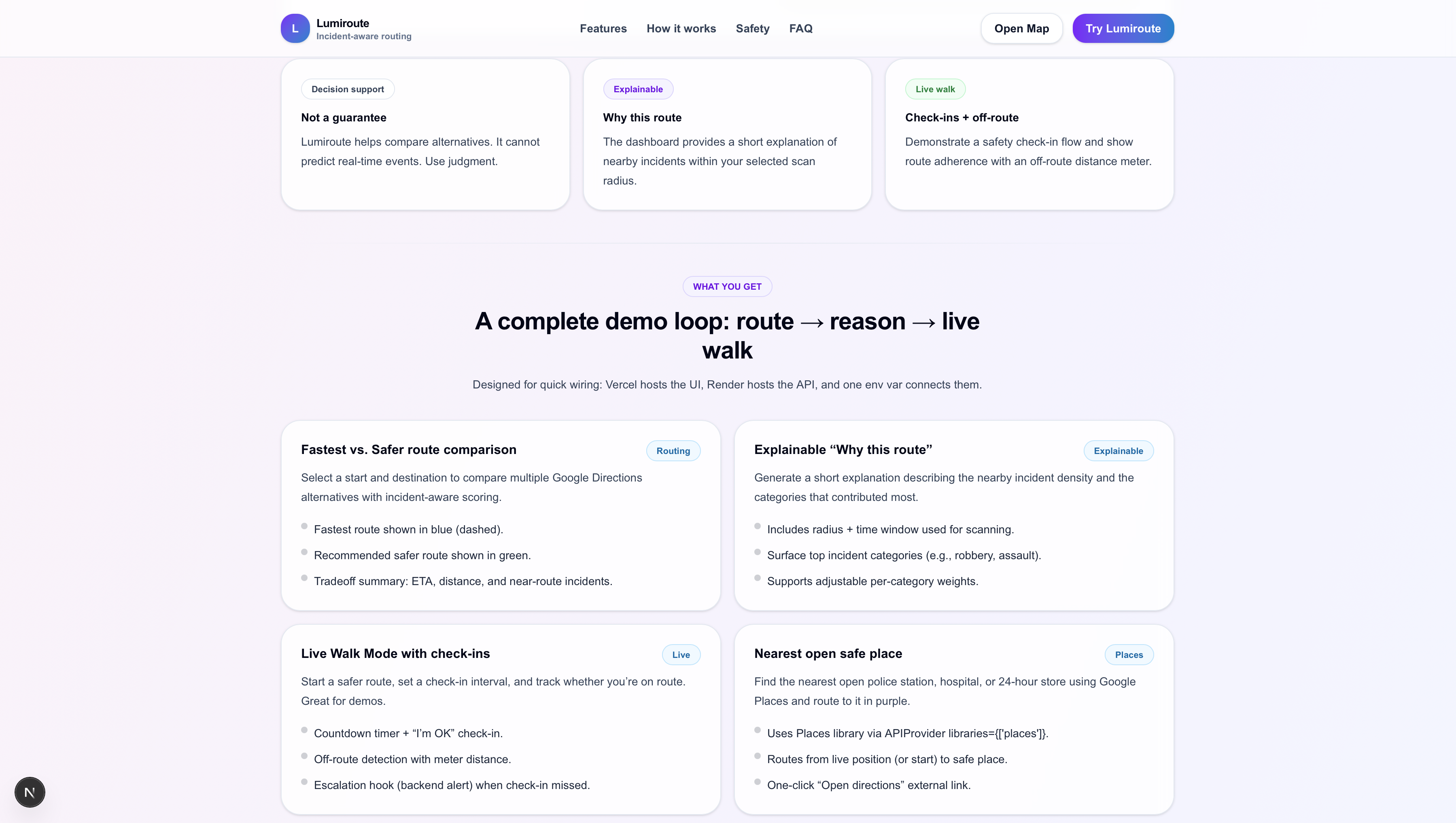
What you get
-
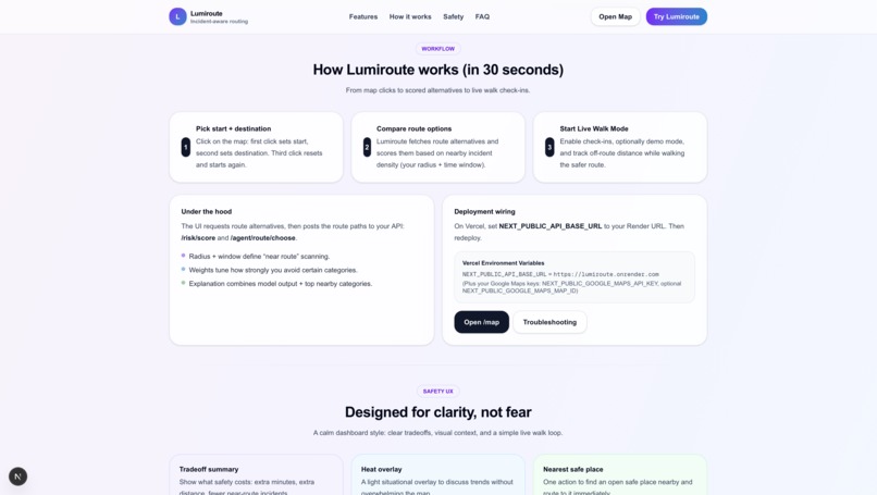
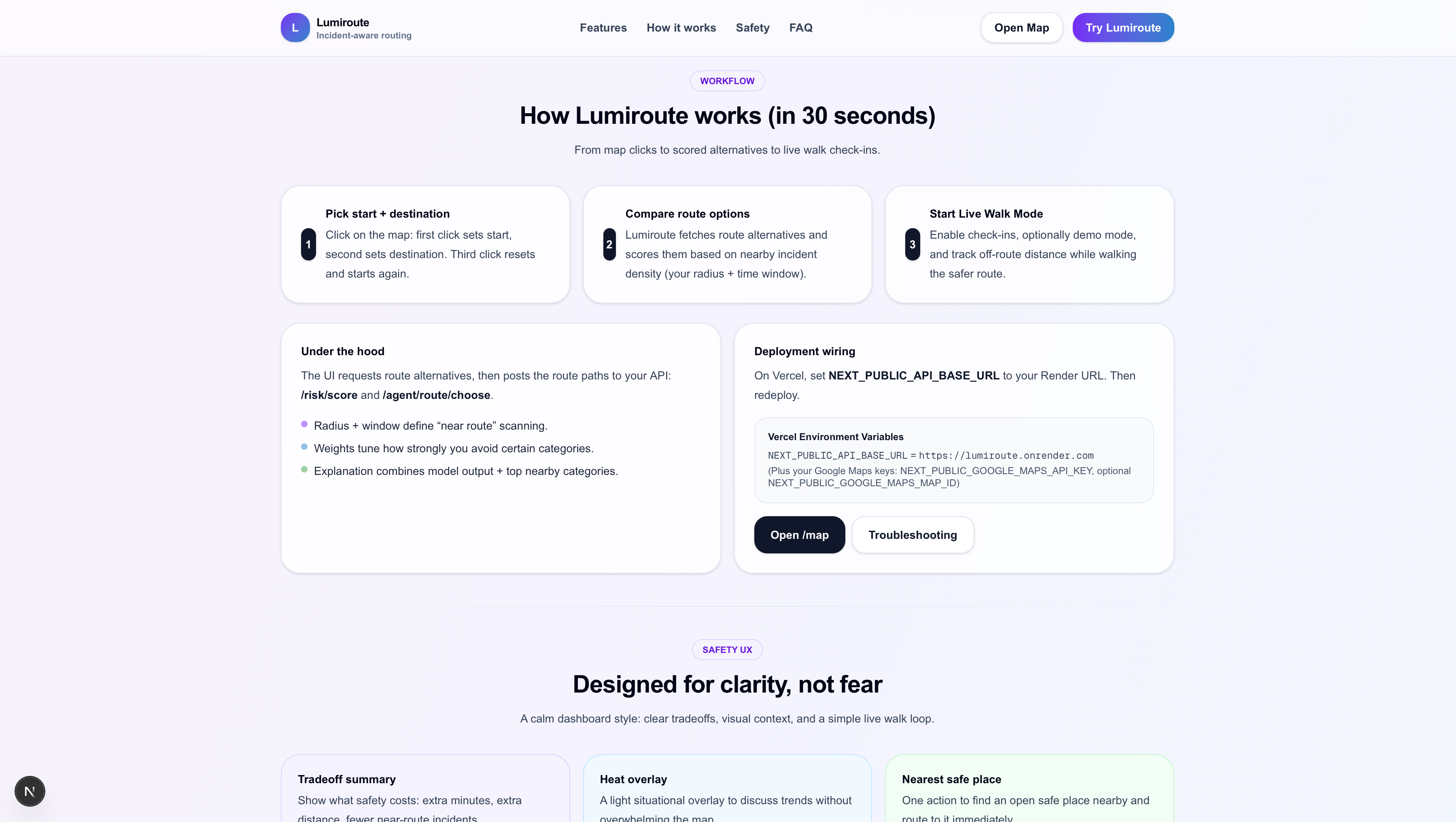
How It Works
-
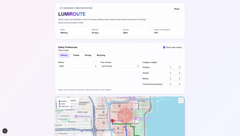
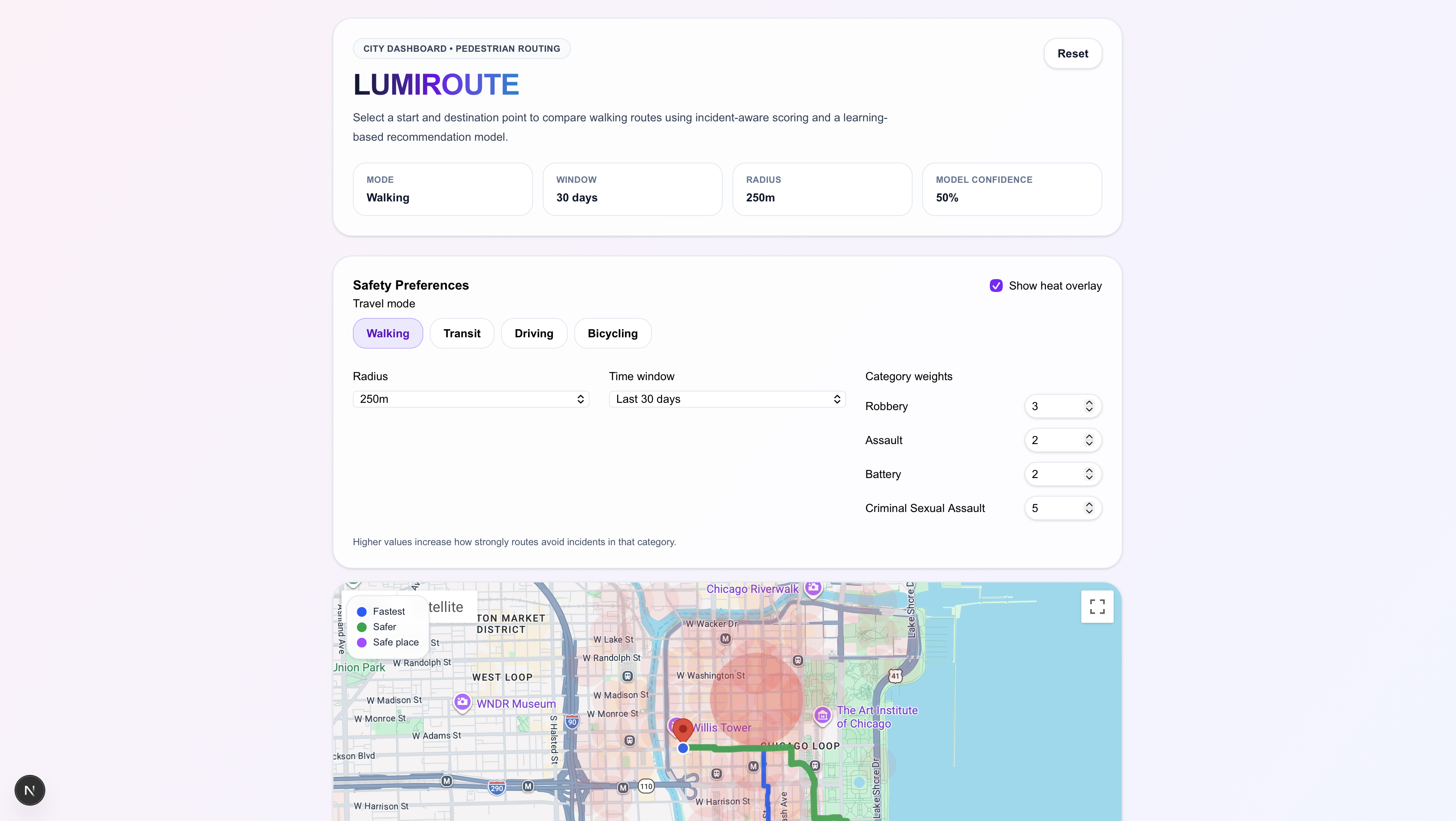
LumiRoute Dashboard and Safety Pref
-
Map + Live Walk
Inspiration
Navigation apps optimize for speed and traffic, but not for safety.
As college students living in a city, we often choose routes based on how safe they feel, especially at night. That choice is usually instinctive, not data-driven. We wanted to build a system that helps people make safer decisions using real information.
We are young women in college, a big city, where anything could happen but shouldn't, We designed this web app to give women specifically but anyone a chance to feel safe when all they are tying to do is get from point A to point B.
What it does
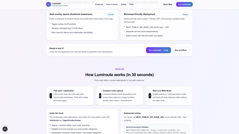
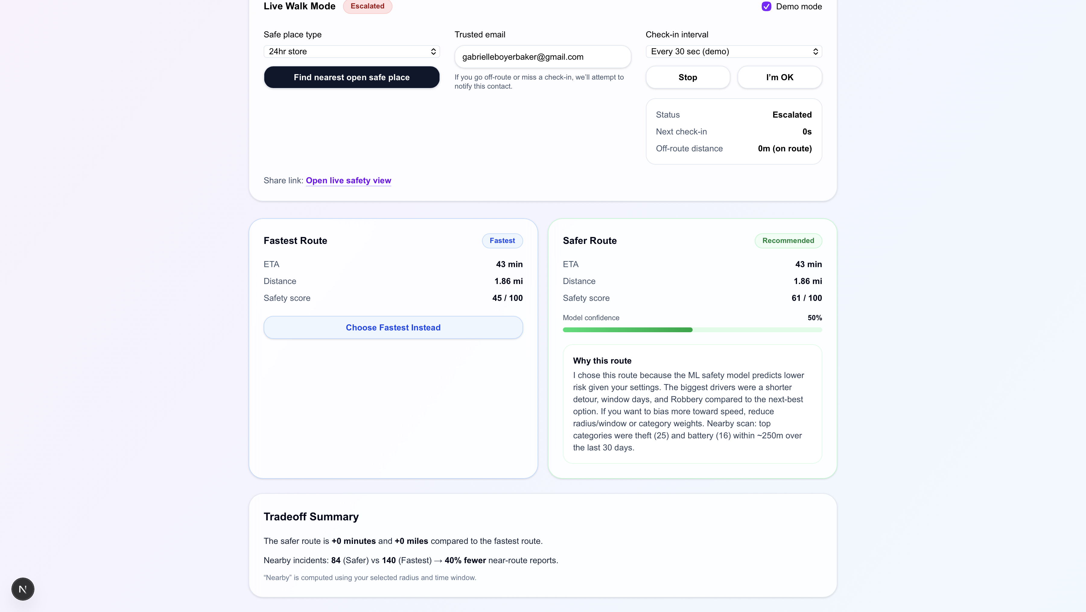
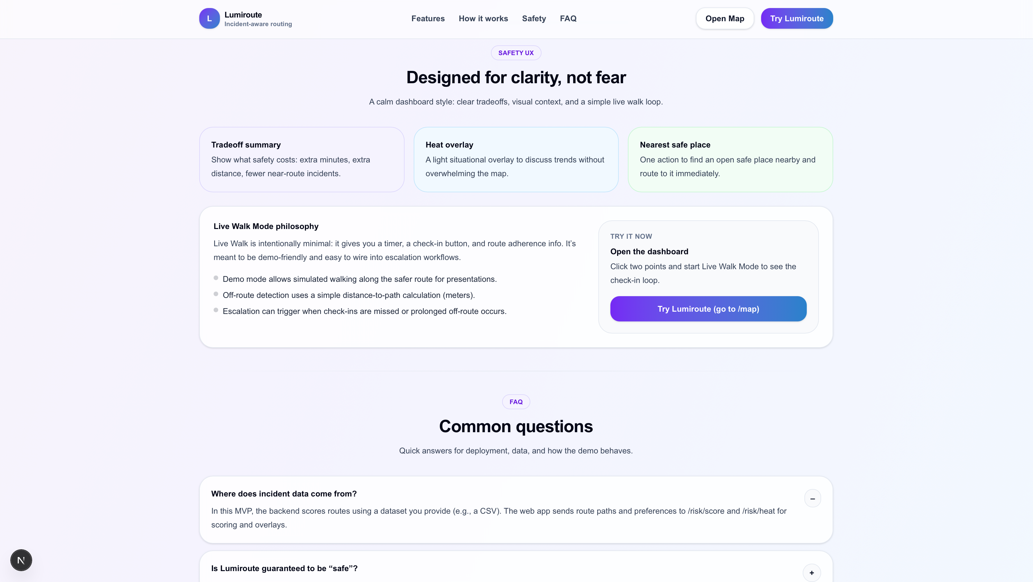
LumiRoute is an AI-powered safety routing web app that: • Generates multiple route options • Scores routes using historical crime data • Adjusts risk based on travel mode (walking, transit, driving) • Visualizes crime density with a heatmap • Offers Live Walk Mode with real-time tracking and shareable links
Instead of asking only, “What’s the fastest route?”, LumiRoute asks:
Which route is the safest? Transit routes are weighted more heavily near station stops, where crime tends to cluster.
LumiRoute uses a smart scoring system called the RouteSafetyAgent. The agent looks at possible routes and measures how much crime activity has historically happened near each path. It considers how close incidents are, how serious they were, and how long you would be exposed to those areas while traveling.
The system then balances two things: how long the route takes and how much risk is nearby. It gives each route a safety score and ranks them so you can choose between the fastest option and the safer option.
For example, if you are walking at night, the system weighs nearby incidents more heavily. If you are driving, the exposure is calculated differently. This allows LumiRoute to adapt to how you are traveling.
In simple terms, LumiRoute turns safety from a feeling into a measurable score and helps people make more informed decisions about the routes they take.
We listened to the keynote speaker Nisaini Rexach. Agents are the game changer.
How we built it
Frontend • Next.js • TypeScript • Tailwind CSS • Google Maps JavaScript API • Deployed on Vercel
Backend • FastAPI • Python • Scikit-learn • Custom route scoring logic • Deployed on Render
Challenges we ran into
Cold start latency Free-tier hosting caused delays. We reduced this by preloading crime data at startup.
Performance issues Scanning the full dataset for every request was too slow. We implemented bounding-box filtering to speed up spatial calculations.
Transit modeling Risk isn’t evenly distributed along transit routes, so we added special weighting near stops.
Deployment configuration Aligning environment variables between local and production environments required careful debugging.
Accomplishments that we're proud of
• Built and deployed a full-stack AI-powered routing system
• Balanced travel time and safety in route optimization
• Implemented live location tracking
• Integrated real-world crime data into route scoring
• Designed a scalable architecture for future growth
Most importantly, we turned an idea about safer travel into a working product that can actually help people around us. .
What we learned
• How to apply spatial reasoning to route selection
• How to balance multiple optimization objectives
• How to improve performance with smarter filtering
• Deployment and environment management best practices
• Ethical considerations when using crime data
What's next for LumiRoute
• Integrate a spatial database like PostGIS
• Add predictive crime modeling
• Improve live tracking with WebSockets
• Incorporate university and city safety APIs
    • Make it a mobile app with expo to be able to function on both android and iPhone
Built With
- fastapi
- geospatial-bounding-box-filtering
- github
- google-maps-javascript-api
- json
- next.js
- numpy
- python
- render
- rest-apis
- scikit-learn
- tailwind-css
- typescript
- uvicorn
- vercel


Log in or sign up for Devpost to join the conversation.