-
-
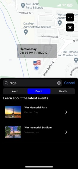
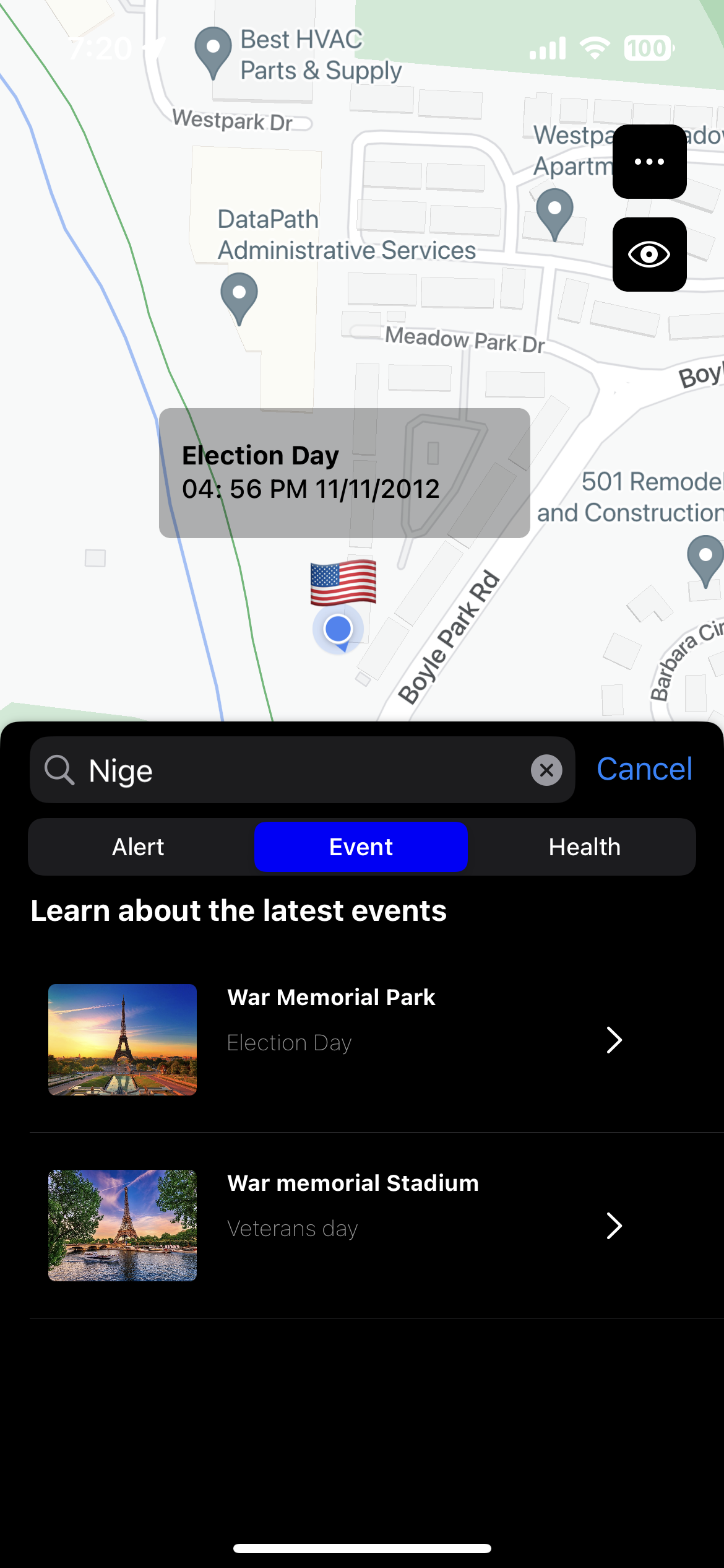
Live location
-
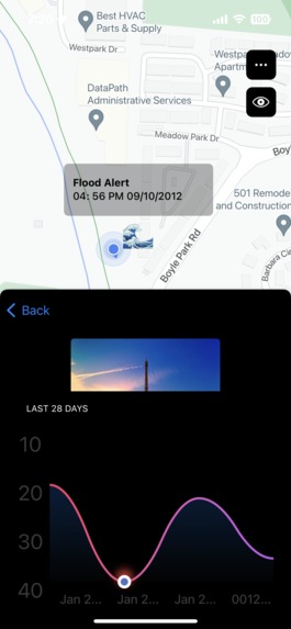
Live location showing Covid Health Chart
-
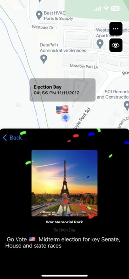
Live location showing selected location panorama view and confetti view
-
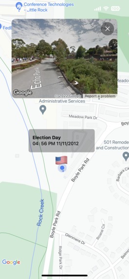
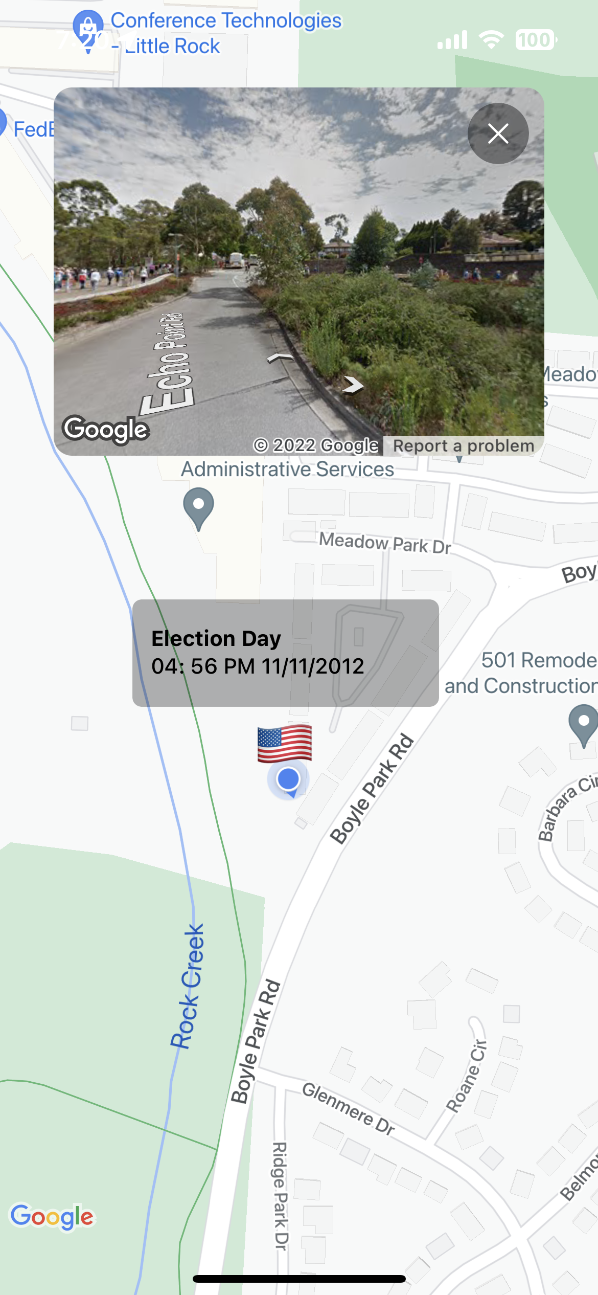
Live location showing selected location panorama view
-

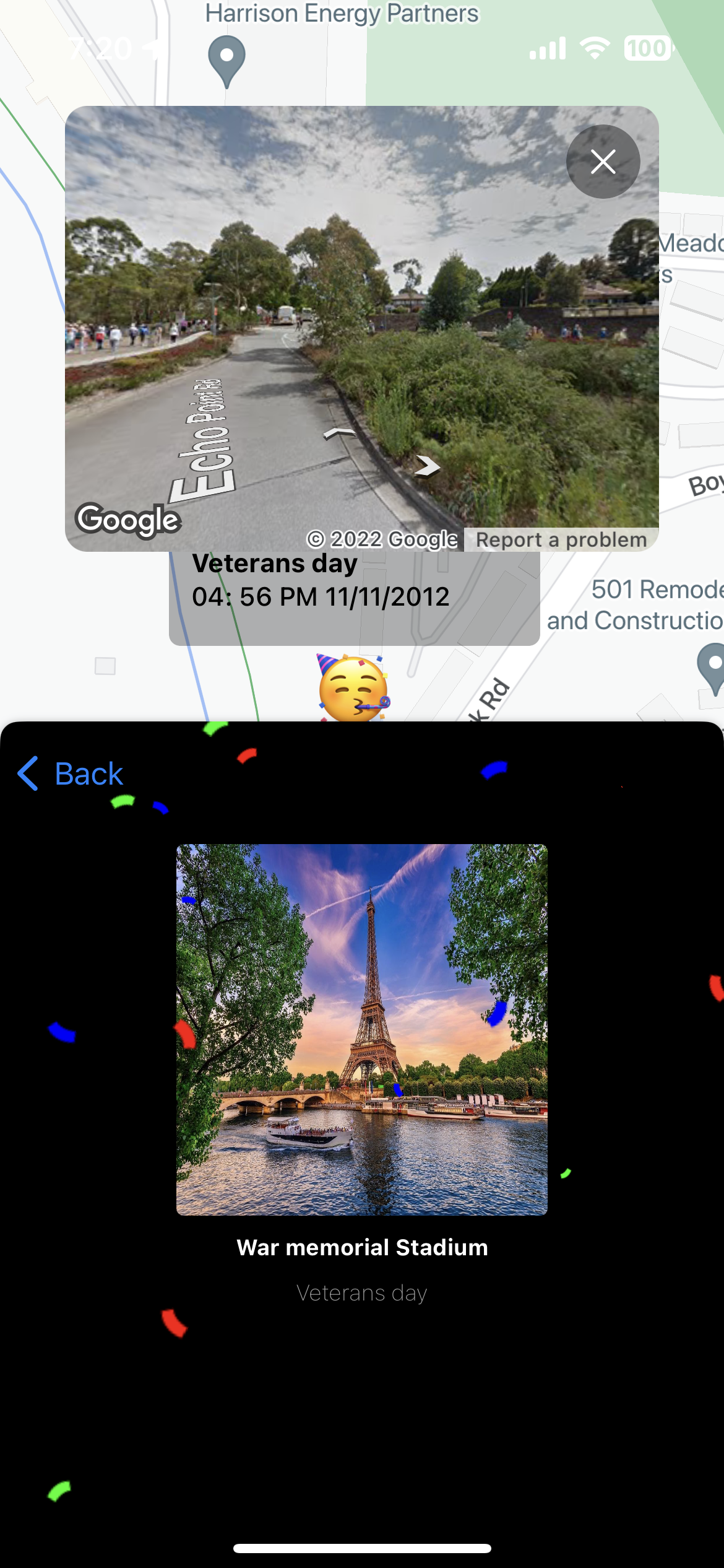
Live location showing veteran day


Inspiration
We're from developing countries, where a lot of insurgencies and environmental disasters such as floods occur. A feature that can provide real-time information about certain places and be able to visualize some demographics will guide better decision-making. Google’s mission is to organize the world’s information and make it universally accessible and useful. This is a great guiding light to provide users with geographical contextual information for better sense making decisions.
What it does
Live location awareness provides users with real-time location awareness of places, such as alerts like flood alerts, crime alerts, election updates, covid information updates to provide better decision-making and awareness of their location.
How we built it
Developed with swift, google map SDK, ios and Xcode
Challenges we ran into
Visualization and Projecting our ideas to create a seamless user experience in our app
Accomplishments that we're proud of
The successful capture of our idea, our teamwork, and our collaboration
What we learned
Critical Thinking, Good use of Google tools, Deep engagement
What's next for Live Awareness
Provide better visualization and improvement in user experience
Built With
- google-ios
- google-maps
- googlemap-sdk
- ios


Log in or sign up for Devpost to join the conversation.