Inspiration
We wanted to build an app that could assist rescuers, using social media to locate those who need help and advanced algorithms interpreting the words used in a post to judge how critically those requesting help needed it.
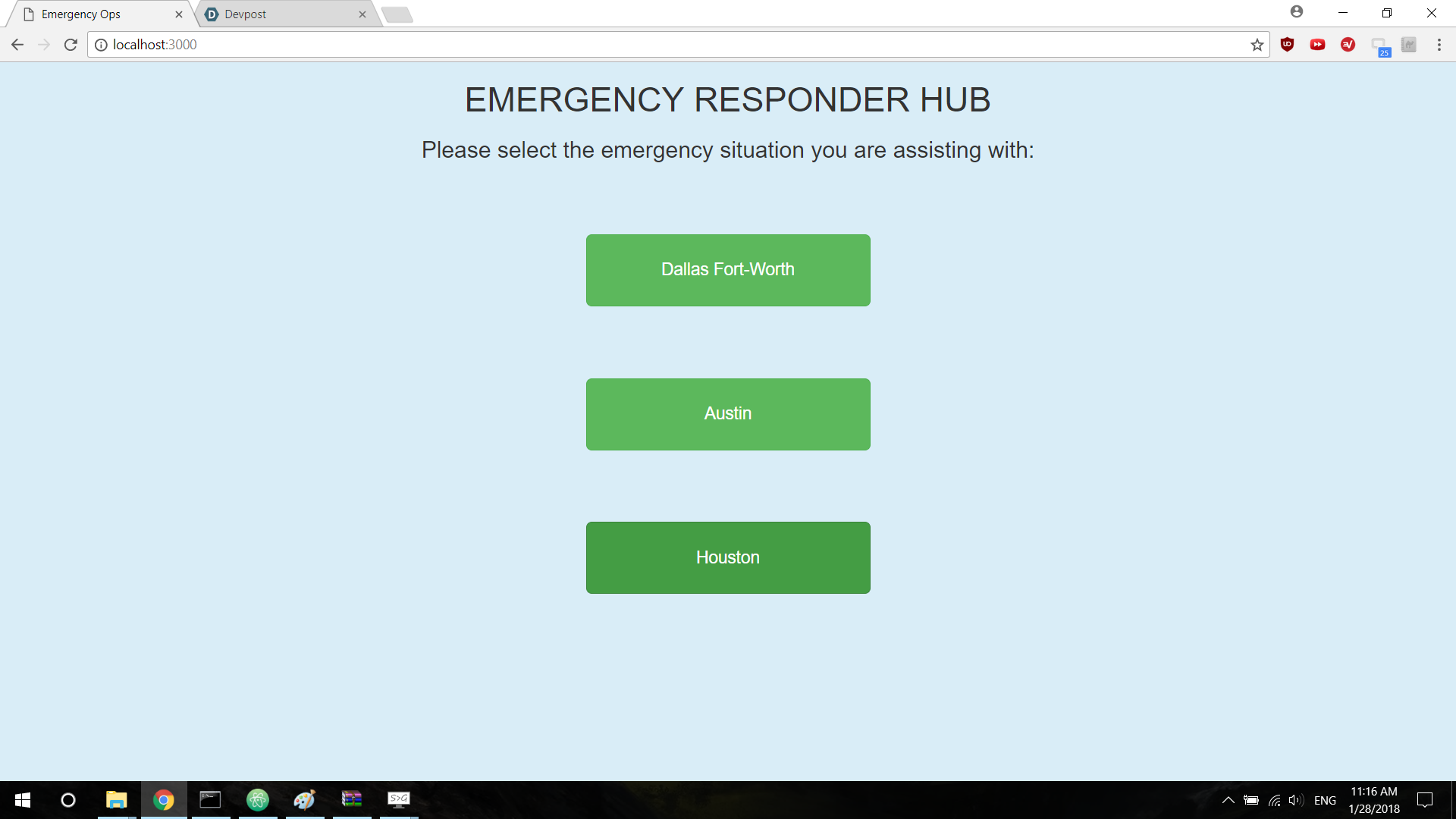
What it does
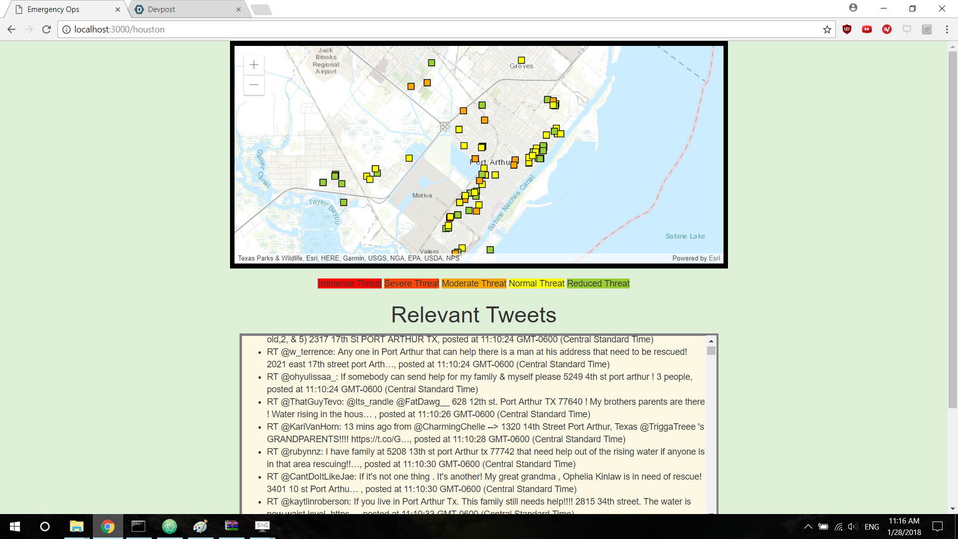
Uses the twitter API to obtain tweets from a disaster area, and uses those tweets' location data to locate those requesting help while also using the contents of the tweet to determine how critically those requesting help needed it.
How we built it
Node.js, Express.js, basic HTML and CSS, javascript, ArcGIS, tears and lots of suffering
Challenges we ran into
Unfamiliarity with the majority of things we used, including Express.js and ArcGIS, made things hectic, and some of the features we wanted to implement (clicking on a point to obtain information about the relevant tweet that created it, deleting a point after someone had been rescued) had to be put on hold due to a lack of time.
Accomplishments that we're proud of
Live updating of points based on incoming tweets, first attempt at synergizing a complete web app, first hackathon for the two of us!
What we learned
Lots of experience in Express.js and ArcGIS, with increased familiarity in using Node.js and npm packages for greater efficiency and flexibility.
What's next for Little Birds' Map
Implementing the above features (challenges that we will be able to complete in the future!)

Log in or sign up for Devpost to join the conversation.