Inspiration
Indonesia is often assumed to be a relatively low crime country and on paper, that's true: BPS (Indonesia's national statistics agency) recorded a crime rate of 204 per 100,000 people in 2024. But the same report shows something more telling: only 20.28% of victims ever report to the police. Nearly 80% of incidents simply disappear from the record. Meanwhile, the safety information that does exist is scattered across WhatsApp groups and Instagram stories, and mainstream navigation apps like Google Maps optimize for the fastest route, not the safest one. We also found we weren't the first to think about this, apps like Safetipin and Safecity in India have proven this model works. But nothing like it existed for Indonesia. That gap is what we set out to fill.
What it does
Lapor Aman is a crowdsourced public safety map where anyone can anonymously flag unsafe locations like street harassment, poorly lit roads, and suspicious activities directly on a map, in under 30 seconds.
- Sign in with Google or Email to report. Your identity is never attached to what you report.
- Add a pin and pick a category. Reports appear on the map instantly for the whole community.
- Community validation. Upvote reports to confirm their accuracy and leave comments to share additional details or updates.
- Daily report limits. A per-account cap keeps the map from being spammed or abused.
- A dashboard for your area. See nearby risk zones, your own report history, and how many reports you have left for the day.
How we built it
We started with research, not wireframes, grounding the problem in official BPS crime data and Komnas Perempuan/KRPA harassment surveys before designing a single screen, so the product would be solving a real, evidenced problem rather than an assumed one.
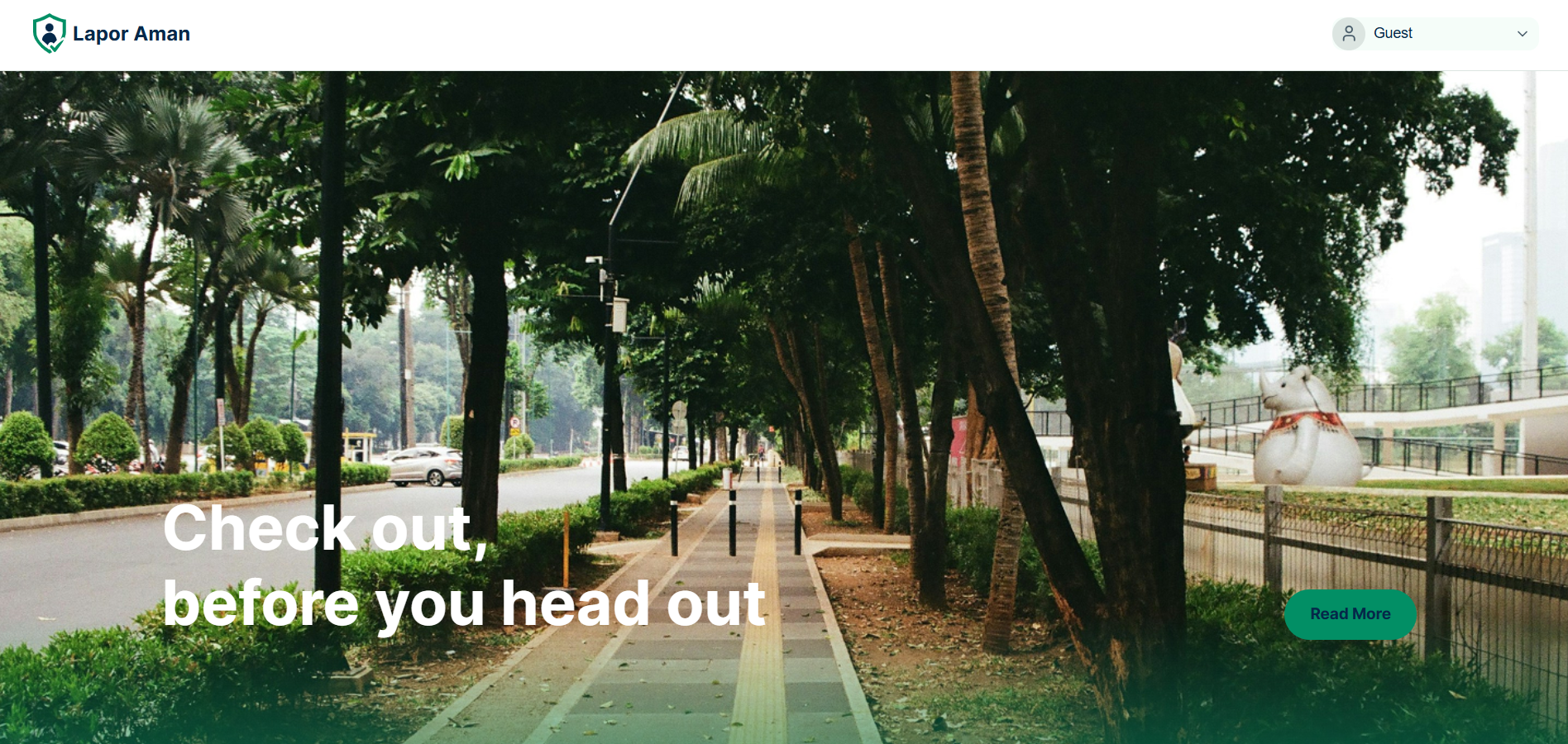
From there, we built an interactive prototype covering the full user journey, public map for guests, Google sign-in, adding a report with live daily-limit enforcement, and viewing report details.
Challenges we ran into
Anonymity vs. spam. Full anonymity is the whole point, people won't report if they fear exposure, but it also opens the door to abuse. We solved this with a daily report cap per account instead of weakening anonymity. Finding Indonesia-specific evidence. Most safety-app precedents we found (Safetipin, Safecity) are India-based. We had to independently track down and verify BPS and Komnas Perempuan data to ground the product locally instead of borrowing someone else's context. Designing for "everyone," not just our own taste. Our first instinct was a dark, moody "night map" aesthetic — it looked great, but we realized it worked against the goal of being usable by the widest possible audience, so we rebuilt the whole UI in a bright, high-contrast theme. "Fastest" vs. "safest" is a genuinely different UX problem. Standard map apps aren't built to show trade-offs like "5 minutes faster, but 4 harassment reports this week" — that pattern doesn't exist off-the-shelf.
Accomplishments that we're proud of
We are proud that we managed to integrate MapLibre GL JS into our project. This accomplishment allowed us to create the features that we desired to deliver.
What we learned
General safety indices can hide the real problem. Indonesia scores well on broad "do you feel safe walking at night" surveys, but harassment-specific research tells a very different story — because most incidents happen in daylight, on ordinary streets, which general safety metrics don't capture at all. Anonymity has to be a design decision made on day one, not a feature bolted on later — it shapes the login flow, how data is stored, and even how report details are displayed to other users. A value proposition only means something if each claim maps to either real data or a real, working feature, so we made sure every "why choose us" point we made could be backed up, not just asserted.
What's next for LaporAman
- A real safety-score algorithm combining report density, time-of-day patterns, and infrastructure signals like lighting
- Safe-route suggestions that show trade-offs between routes, not just travel time
- Partnerships with authorities for coordinated response
- An in-app assistant for asking questions about reports in a specific area
- A native mobile app
- Production-grade Google OAuth and backend persistence (currently simulated in our prototype)

Log in or sign up for Devpost to join the conversation.