-
-
LA_wildfire_prediction_app

Inspiration
Most of the available apps are to detect wildfire from statellite images, but predicting future posibility of wildfire is most important for citizen of that place. But real problem is predicting future wildfire In this project this problem will be solved forever by help of ML.
What it does
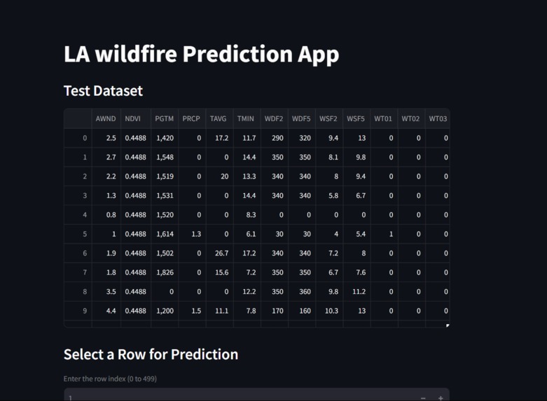
Here a web app is built with help of XGboost model and dataset by NOAA, Google Earth Engine
How we built it
Dataset: NOAA, Google Earth Engine Model: XGboost Language: Python-3.11.11 Webapp: Streamlit
Challenges we ran into
Dependecies issue are major problem I had to face
What we learned
Deploying ML model on web Real life scenario implementation
What's next for LA wildfire prediction using historical data by NOAA
Finding and fixing bugs in this application

Log in or sign up for Devpost to join the conversation.