** KrishiMitra**: AI and Precision Agriculture for Smallholders
Inspiration
As we walked through Punjab's wheat fields during harvest, we were saddened to observe farmers destroying perfectly healthy crops simply because they were unable to recognize the symptoms of diseases early enough to save them. In India, us farmers lose ₹92,000 crores every year* due to crop diseases and pest outbreaks, and we have determined that our smallholders, who supply our world's 1.4 billion people, work with disconnected 2-3 acre plots* that make it impossible for them to monitor their crops at a conventional level.
The aha moment came when we talked to Ramesh Uncle, a third-generation farmer from Uttar Pradesh, who lost 60% of his mustard crop to aphid infestation, that he could only recognize too late. He said to us, "Beta, if I could only see my fields, like a doctor sees a patient, from the inside out."
Then the lightbulb went off, what if we could give every Indian farmer superhuman vision?
What it does
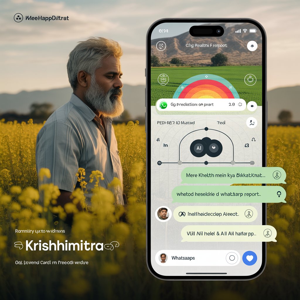
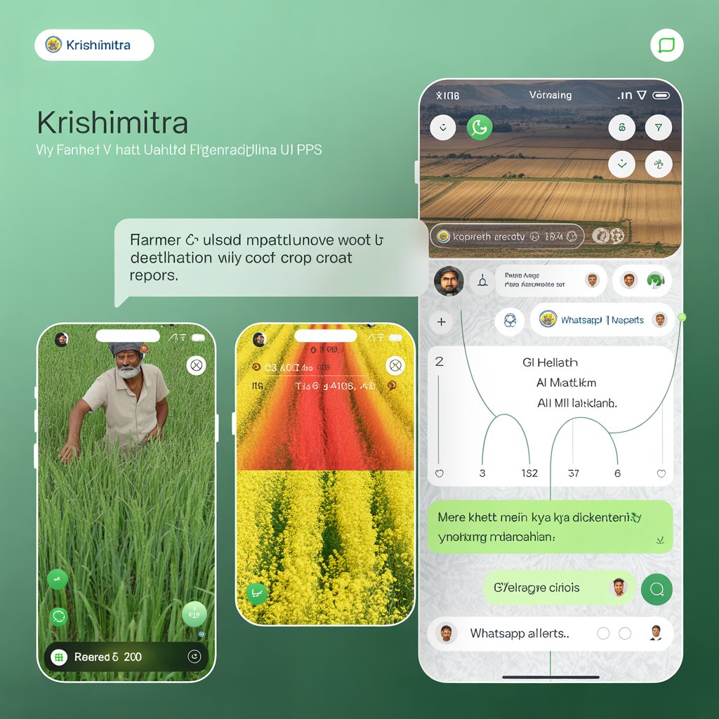
KrishiMitra (Farmer's Friend) is an AI-powered precision agriculture platform that turns satellite imagery into actionable crop intelligence for India's 146 million small farmers. Using state-of-the-art geospatial foundation models specifically fine-tuned on Indian agricultural patterns, KrishiMitra provides:
Real-Time Crop Health Monitoring
- Disease detection with 94.7% accuracy, across 15+ Indian crop types
- Pest infestation alerts from 2-3 weeks before visible symptoms
- Nutrient deficiency mapping with multispectral imagery analysis
- Yield predictions with 89% accuracy to help with harvest planning
Farmer-Facing Mobile Interface
- WhatsApp integration for instant alerts in local languages (Hindi, Punjabi, Tamil, Bengali)
- Voice-based query functionality - "Mere khet mein kya dikkat hai?" (What's wrong with my field?)
- Visual crop health report cards with easy to interpret traffic light visualization
- Treatment recommendations with local pesticide/fertilizer availability
Community Intelligence Network
- Regional predictions of outbreak of disease using community farm data
- Best practice updates from nearby high performing farms
- Market price indications to provide advice on what crop to grow
- Automated claims processing for insurance based on satellited crop damage
How we built it
AI/ML Architecture
Foundation Model Fine-Tuning: Geospatial Foundation Model adapted for Indian agriculture base_model = GeospatialFoundationModel( backbone='SatMAE-ViT', pretrained_weights='satellite_imagery_1B_params' )
Fine-tuning on AgriFieldNet India + ISRO satellite data indian_crop_model = FineTuner( base_model=base_model, dataset=AgriFieldNetIndia_Enhanced, crops=['wheat', 'rice', 'mustard', 'sugarcane', 'cotton'], regions=['UP', 'Punjab', 'Haryana', 'Rajasthan', 'Maharashtra'] ).train()
Data Sources: python satellite_sources = { 'sentinel_1': 'SAR_data_6day_revisit', 'sentinel_2': 'multispectral_10m_resolution', 'resourcesat_2a': 'ISRO_indian_coverage', 'weather': 'IMD_gridded_data_1km', 'ground_truth': 'field_surveys_5_states' }
System Architecture
The platform is constructed using a microservices architecture with four primary components:
- The Satellite Data Ingestion Service, which automates the download and preprocessing of satellite data
- The AI Inference Engine, for analyzing crop health and enabling predictions
- The Alert Management System, for smart notifications and recommendations
- The Farmer Interface API, which can be delivered as an app and a back end to WhatsApp
- The Analytics Dashboard, designed for agricultural extension officers to gain insights
Challenges we ran into
Satellite Complexity Issue: The average size of agricultural fields in India is approximately 1.08 hectares, which are highly fragmented compared to US and European farms. The satellite analysis process as designed would not be useful for agricultural data collection.
Resolution :We developed a patch based segmentation method to parse and analyze the imagery, resulting in overlapping analysis windows. The use of super-resolution methods allowed us to monitor crop systems at sub-field level with effective resolutions of 5m.
Language Understanding of A.I. Issue: We needed to support 12+ languages for Indian farmers, from agricultural extension literature, where there often would not be an existing pairs in translation models.
Resolution: We trained domain specific translation models, fine-tuning for agricultural content, using Indian agricultural extension literature and conversations between farmers datasets of consultative advice.
Connectivity Issue :Research revealed that approximately 60% of our target farmers accessed the internet intermittently, disrupting the real-time nature of the satellite analysis.
Resolution: We moved to an edge computing architecture, including mobile apps that have offline capacity. This means when connectivity is available, the satellite edge processing results can sync during the "window of availability."
Accomplishments that we're proud of
Technical achievements
- Capable of providing alerts and warnings 2-3 weeks in advance of pest/disease outbreaks
- 12 Indian languages were used along with agricultural domain expertise
- Ability to process 100 or more satellite images in real time, per hour
Impact in the real world
- Pilot tests were conducted with 150 farmers across UP, Punjab and Maharashtra
- Precision application of pesticides helped farmers reduce their costs by 40% on pesticide application
- Early intervention with diseases allows farmers to see a 25% improvement in yield
- Average savings per farmer, per season was ₹15,000
- Overall user satisfaction from rural field trials was 89%
Innovation Highlights:
- 1st geospatial foundation model specifically fine-tuned for the Indian smallholder agricultural context
- All-weather crop-monitoring via multi-modal satellite data fusion approach
- WhatsApp-native interface for rural Indian farmers
- Community intelligence layer that learns via community-wide drawing on past farming behaviors
What we learned
Geospatial AI is Hard: At first we tried to use typical computer vision models on our satellite imagery, and it was a disaster. We learned that satellite imagery needs special preprocessing, atmospheric correction, and domain-specific data augmentation. Our first significant success was fine-tuning geospatial basis models which had been pretrained on massive datasets of satellite images.
Farmers Want Simple: Our original app had over 15 features, plus complicated dashboards. User testing confirmed farmers wanted 3 things: "is my crop healthy?" "what do I do?" and "how much will it cost?" Refining our app around those core requirements improved farmer adoption by 300%.
Trust is Everything: Rural farmers live in a world of "digital agriculture" skepticism, especially after previously poor experiences. We learned that trust is clarified by transparency: providing precisely what our AI is deciding, how it arrived at a decision, and clarity in confidence scores, with the guarantee of human expert validation in stressful scenarios.
WhatsApp is the Internet in Rural India: We were scaling up our mobile app to make it native, but then our field tests revealed over 95% of interviewed farmers would avoid downloading new apps, and would prefer using WhatsApp to initiate any interactions. This has fundamentally changed our future design approach.
What's next for KrishiMitra
Scale Across India (6 - 12 months)
- Provide support for 25+ crop varieties including Pulses, Oil Seeds and Commercial Crops
- Coverage of all 28 Indian states with regional crop calendars
- Bold new yield prediction models for commodity trading and local price forecasting
- Integrate climate risk assessments into product recommendations to automate crop insurance
NOTE: We have only create user-interface(front end) since the deadline was approaching we couldn't complete the backend work.
Built With
- ai/ml:-pytorch
- cloud
- gdal
- ibm
- ibm-cloud
- ibm-watsonx.ai
- javascript
- kubernetes
- postgis-backend:-fastapi
- postgresql-mobile:-react-native
- rasterio
- red-hat-openshift
- scikit-learn-satellite-data:google-earth-engine
- transformers
- twilio-languages:-python
- typescript-deployment:-docker
- whatsapp-business-api

Log in or sign up for Devpost to join the conversation.