


Inspiration
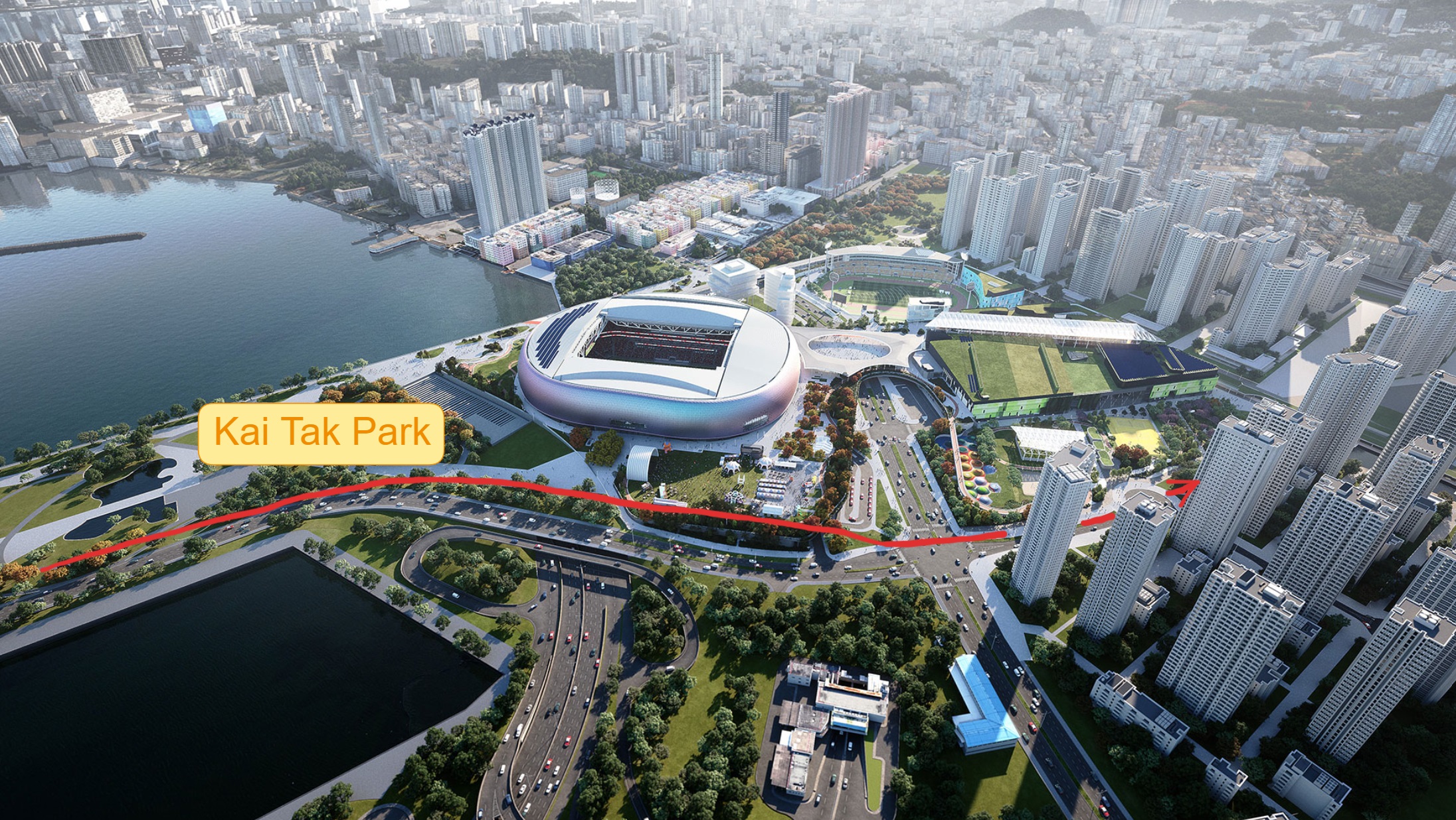
A Hong Kong based area, which previously was an airport, offers a lot of room for (re)development. In this,area we are looking at creating an underground rail connection through this area.
What it does
Considering the data retrieved from Geological investigation and public GIS data, the underground space can be mapped. Different types of soil, foundations and existing underground infrastructure is mapped with a voxel model (a 3D raster ). Based on these constraints and startpoint+endpoint, we use a beam search algorithm in python to find the optimal path considering the mapped underground data.
How we built it
We used QGis and Rhino to bring relevant geological data to speckle. In Civil3D and Dynamo, we created the building foundations and underground infrastructure. In python, we create the voxel model using xarray and send the voxel center points to speckle. This model is use in python and dynamo to update the values of each voxel block to determine which type of soil it contains or that it is a unrestricted block for the new tunnel path.
Challenges we ran into
Time. We had a lot of enthusiasm and a very good challenge to do, but working across timelines bring the need for coordinating a lot which each other. Furthermore, the boundaries of some software (that sometimes crashes).
Accomplishments that we're proud of
The usage of the voxel model on speckle as a central backbone for the entire process. Furthermore, the algorithm which quite accurately give us an idea of the optimal path.
What we learned
We learned that 48 hours is not a long time! We learned much about the path finding algorithms, and how to effectively communicate with those of a different background
What's next for Kai Tak MGM JV
We used speckle for all the storage and transfer of data, which glued together each sub-teams' work.
Built With
- civil3d
- dynamo
- grasshopper
- python
- qgis
- rhino
- speckle
- streamlit
- voxels


Log in or sign up for Devpost to join the conversation.