-
-
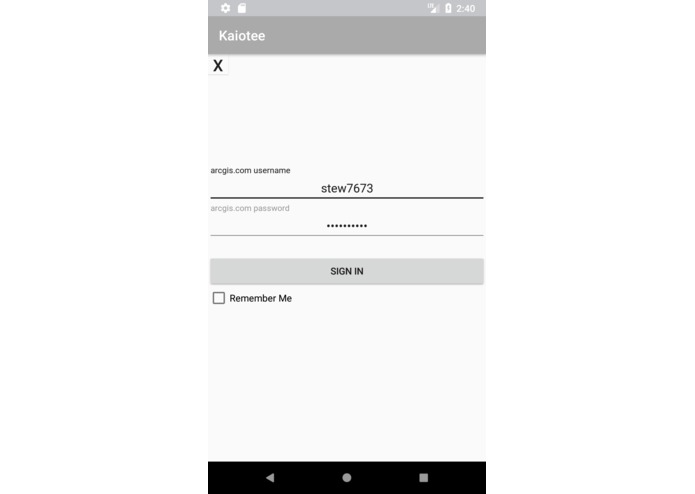
Login
-

Splash Screen
-
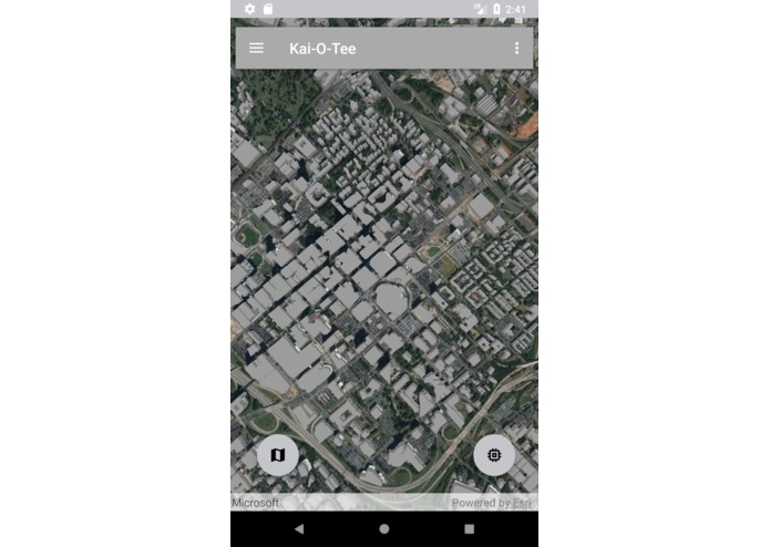
First look
-
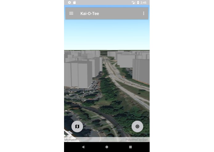
Ground Level

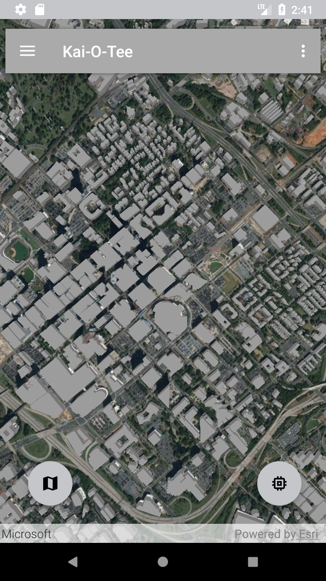
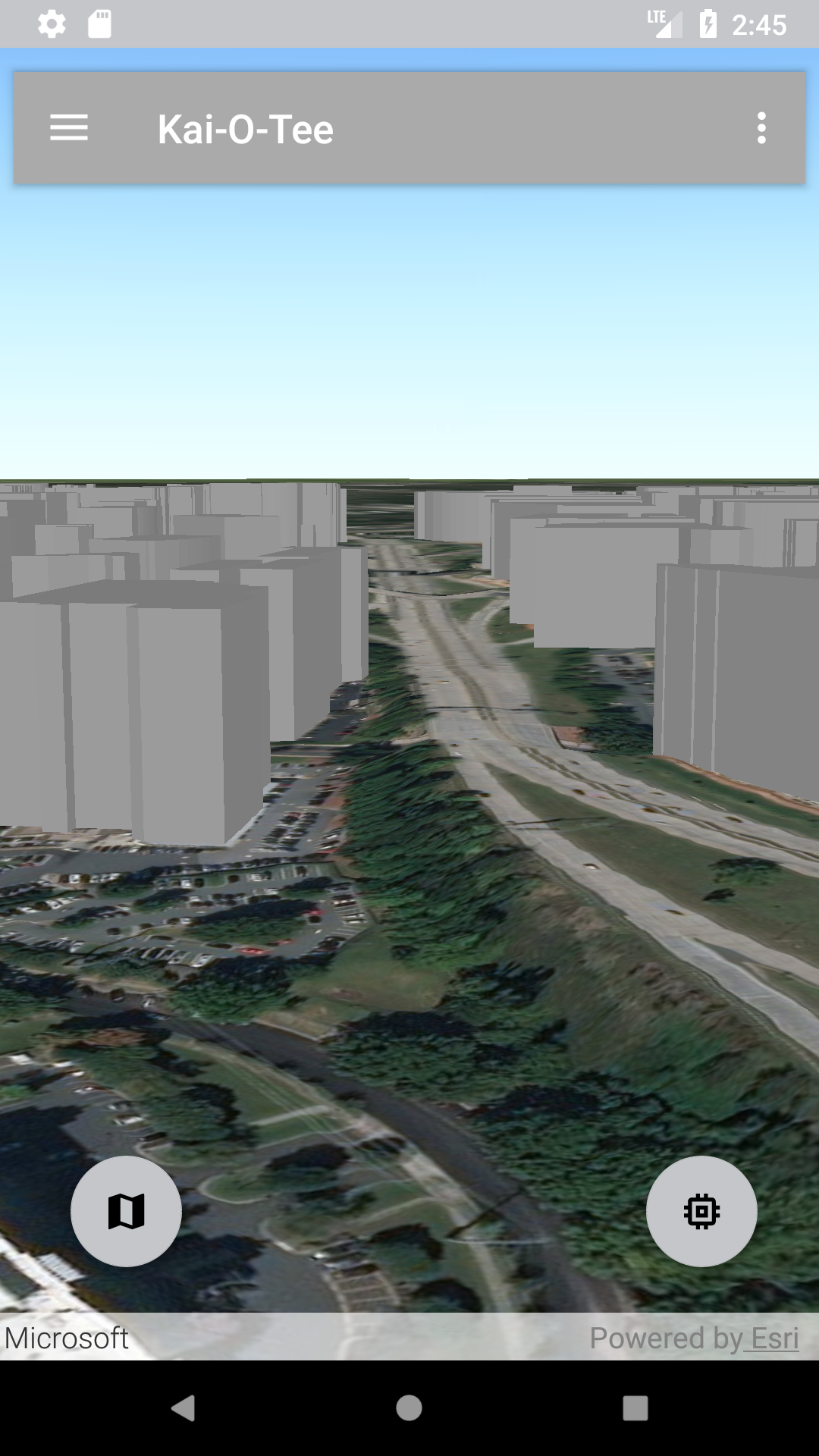
Kai-o-tee
Esri Hack The Map Hackathon
Synopsis
This project shows the power of the ArcGIS platform as used in creating a consumer application. It uses the ArcGIS Runtime Android SDK in combination with the arcgisonline.com platform to demonstrate key applications of principles in GIS such as 3D visualization, line of sight analyses, geolocation, routing etc in a way that makes it easily usable to the ordinary person. The application also shows the strengths of the ArcGIS platform and the potential to make GIS a household concept.
Motivation
We wanted to showcase the POWER of THE SCIENCE OF WHERE and how it can be applied in making seemingly difficult tasks simple and less task intensive. Exploring your world should be fun, easy and accessible. We wanted to demonstrate these by creating an app that shows the accessibility of GIS and how it can help people get to know what is around them.
Installation
install the provided apk in your emulator or android device
API Reference
https://developers.arcgis.com/android/latest/api-reference/reference/packages.html https://developer.android.com/guide/index.html
Contributors
Stewart Rouse Kwasi Asante
Using the app
- Sign into the app using your ArcGIS Online credentials. (This will allow you to share your activities with other users.)
- The app will show the entire extent of the data set that is loaded by default.
- In the bottom right had corner of the screen is a button that will get your current location and change your view to street level.
- Rotate the device to look around and observer the virtual world around you.
Built With
- android
- android-studio
- arcgis-runtime-sdk-for-android
- esri
- java


Log in or sign up for Devpost to join the conversation.