

Inspiration
Jane Goodall Insitute is challenging a unique problem to protect chimpanzees and create a better world for people and animals and our shared environment. There is a need to streamline their conservation science and mapping lifecycle to support faster participatory agreements and collaborative decision-making.
What it does
It provides a unique Android mobile application that uses dynamic web maps in ArcGIS.
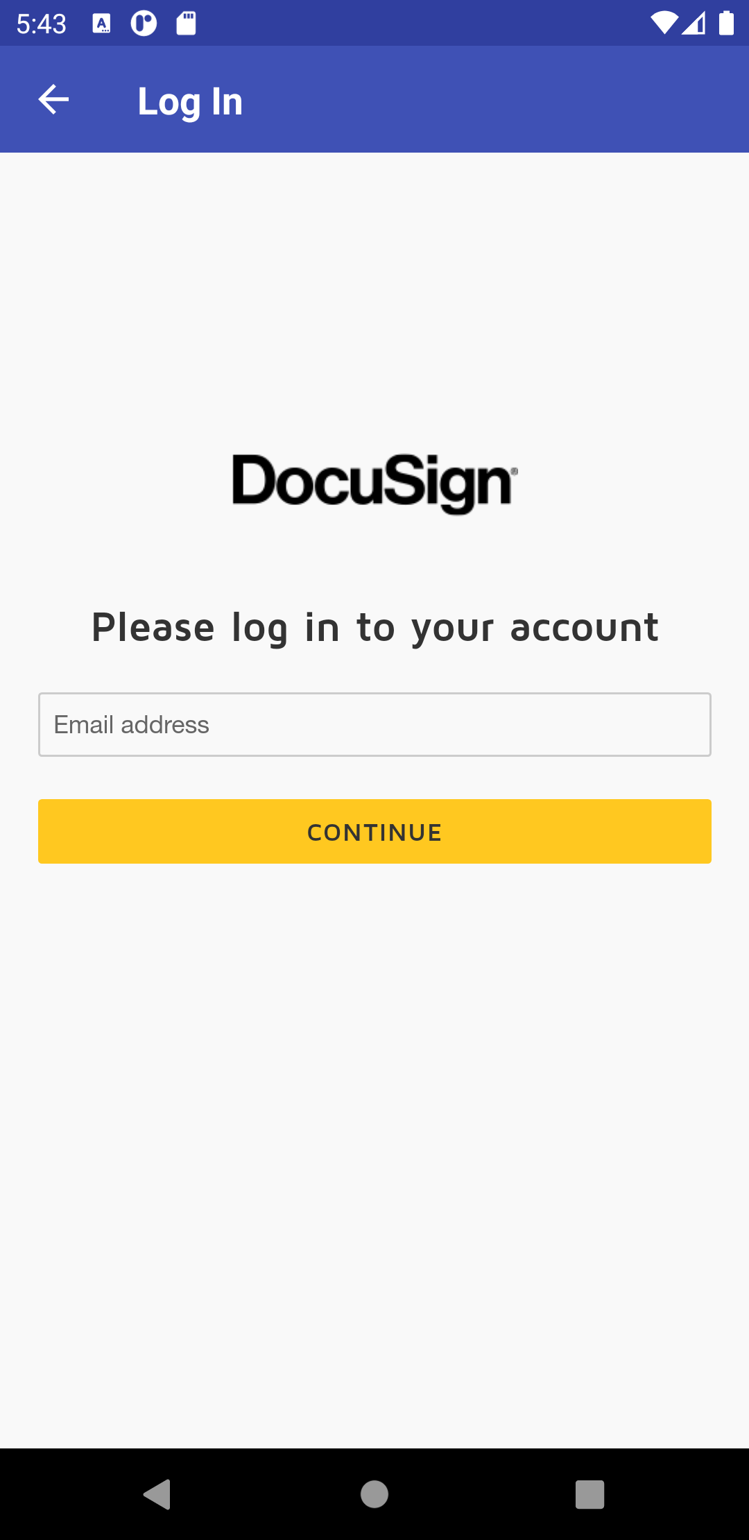
Authentication using DocuSign API and Created templates and provide pre-filled information to the documents to sign.
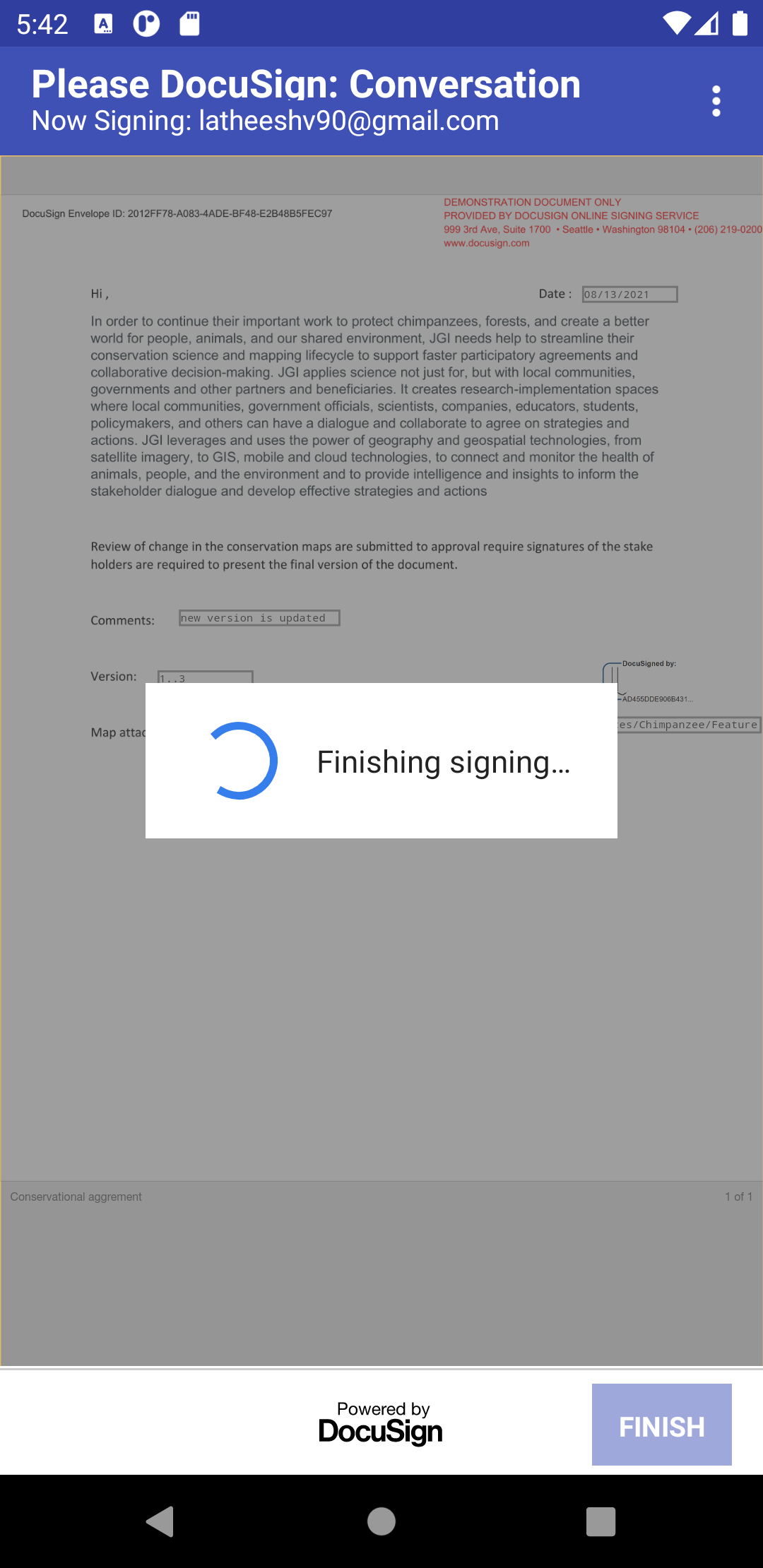
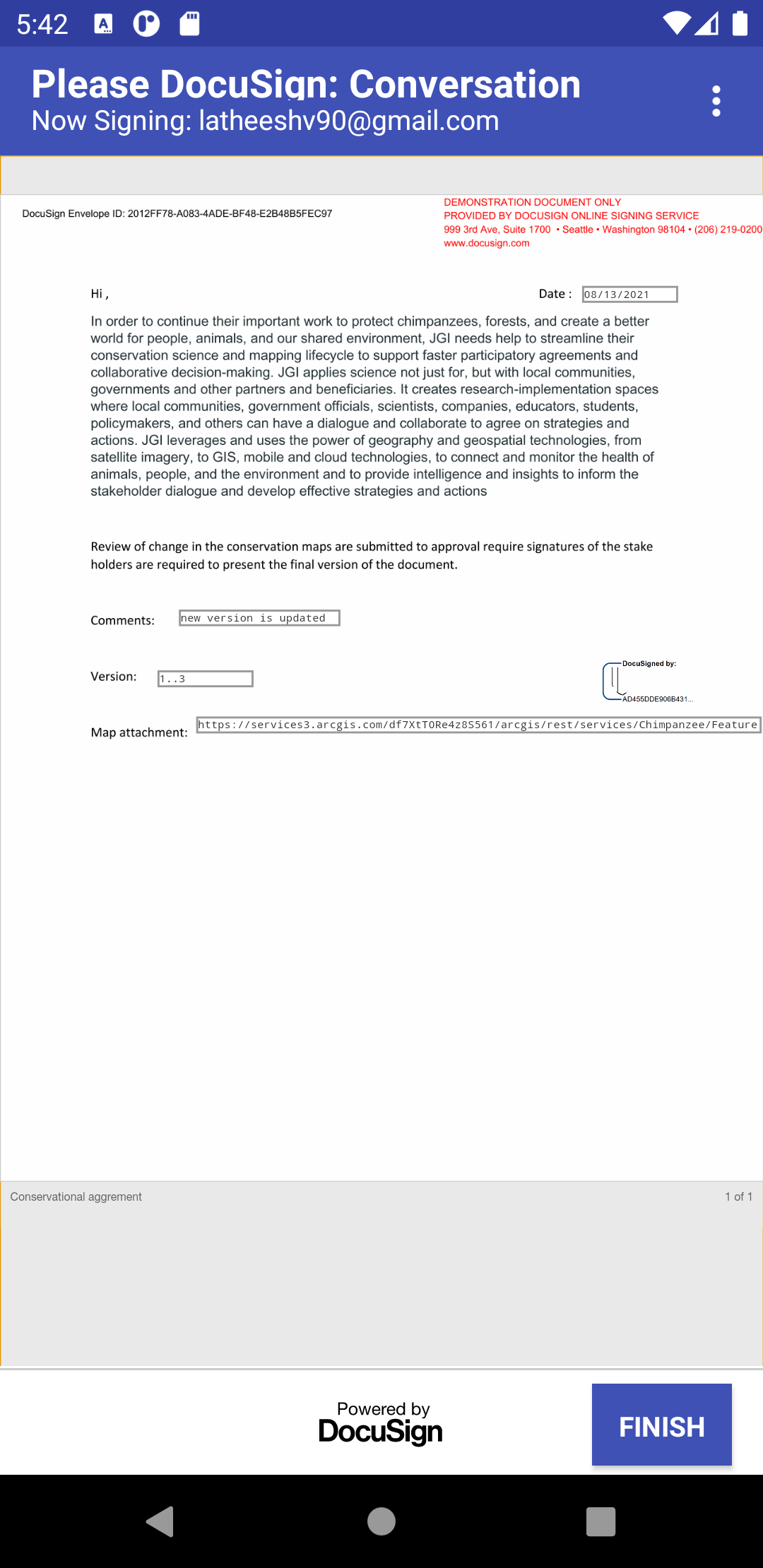
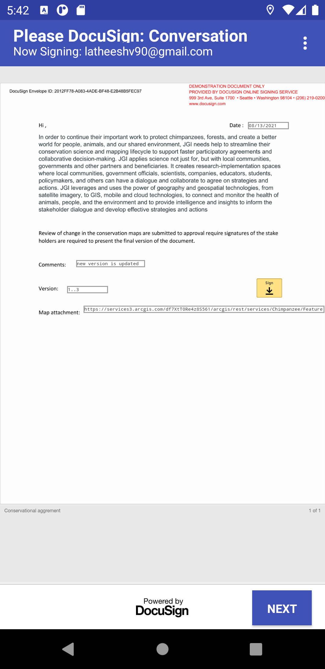
Use the DocuSign eSignature API to start a virtual audit using DocuSign technologies to help validate and improve this eastern chimpanzee range map by sending an envelope to all stakeholders.
Map links are shared along with the DocuSign and are also available after login within the application.
It provides all the list of maps that are shared to the user and loads the respective map based on the user selection
Agreement documents can be shared among the stakeholders where they can comment on a particular version of the app.
Users can able to edit the map, add features, redo features, provide attributes, etc. Users can also able to create versions of the map to provide more information on the versions. Multiple users can able to work virtually and watch the changes live in their respective applications. After all the feedbacks users can finalize the amp and provide the map data.
Providing signatures and updates between multiple options is take care of in the DocuSign e signature API.
Overall it provides a handy mobile application to modify, update and provide documents between the other stakeholders to share.
How we built it
Build through Android SDK with jetpack libraries using Kotlin programming language. Used DocuSign E-signature APIs to provide documents to sign Used ArcGIS Map API to provide interactive maps with data
Challenges we ran into
It is very hard to integrate interactive web maps features in mobile applications. There is a huge learning curve to get to know the ArcGIS API. Integrating the DocuSign API requires more time than expected as there are fewer sample projects available online.
Accomplishments that we're proud of
Integrating the interactive web maps along with the design. Adding more features into the application to provide users with many options to deal with the maps.
What's next for JGI-Conserving Animal habitat(Chimpanzees)
Tracking the documents, and store all the documents in a single place for the users. Interactive sharing of the maps along with documents inside the application so that the user doesn't move out of the application to sign the documents.
Built With
- android-studio
- docusign
- esri
- kotlin
- mapping

Log in or sign up for Devpost to join the conversation.