-
-
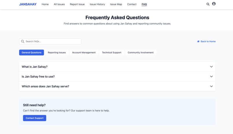
Faq
-
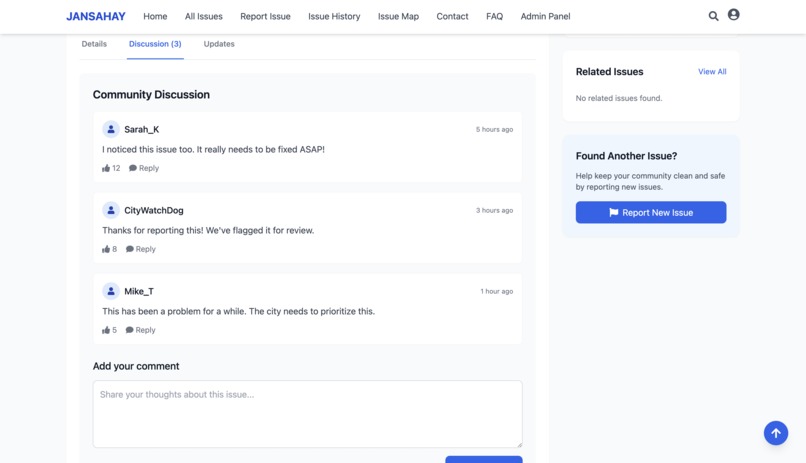
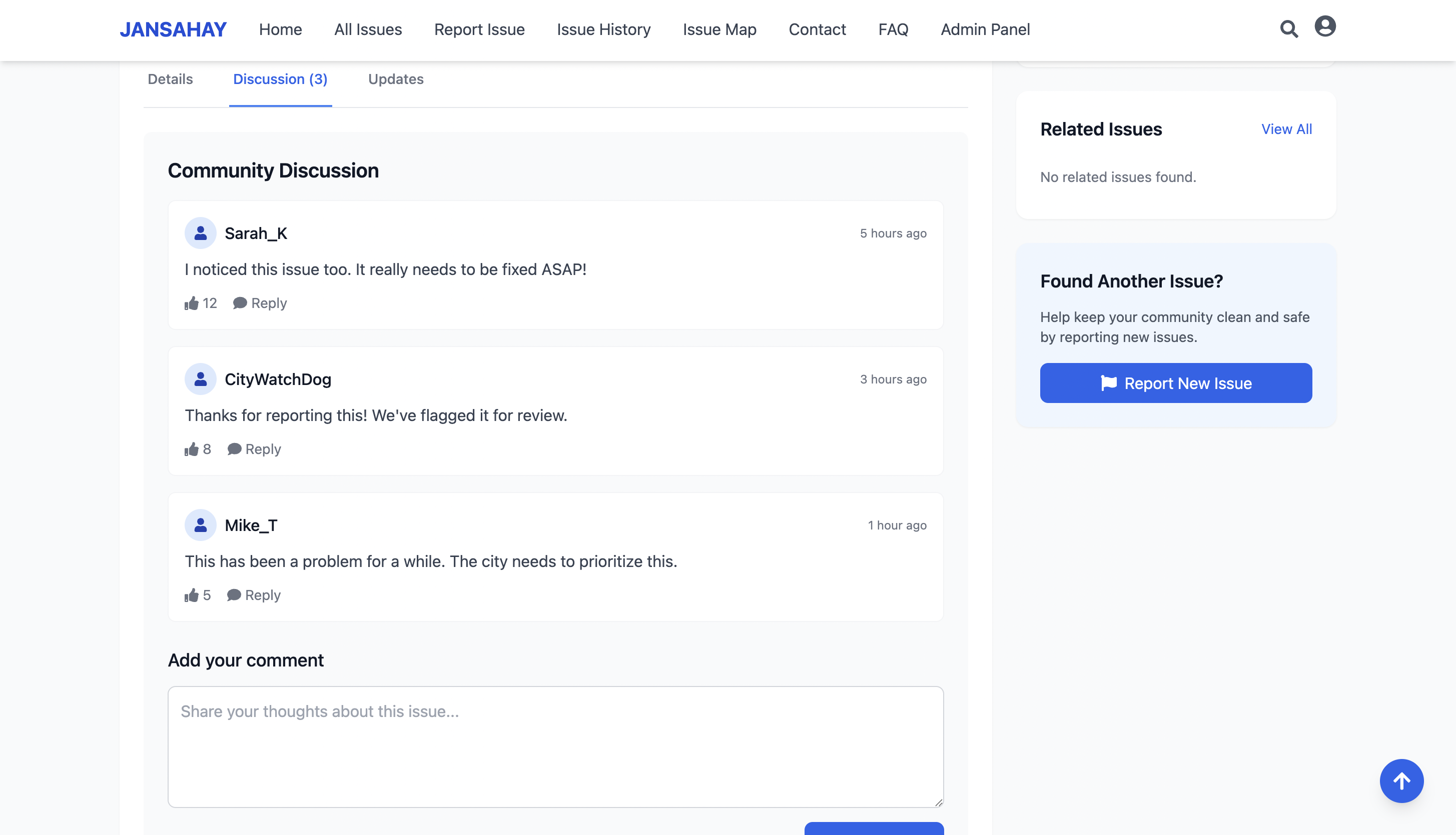
community for discusion
-

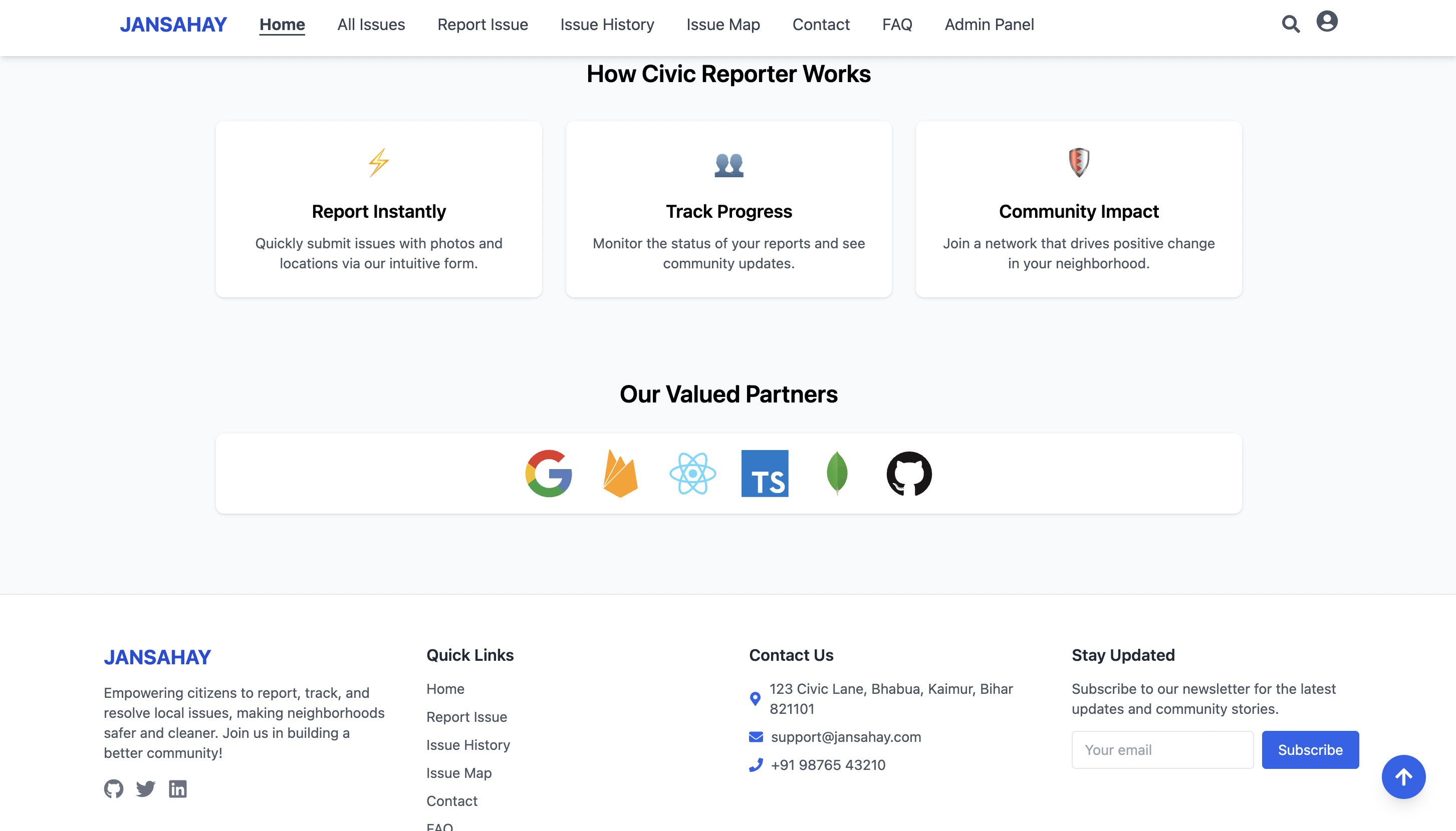
Features
-
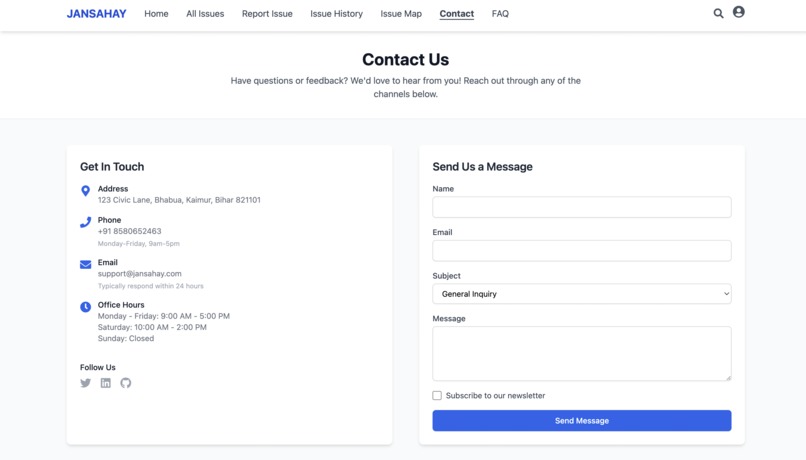
contact us
-
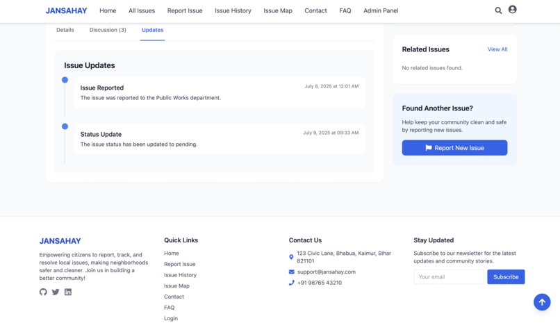
Issues updates
-

Login
-
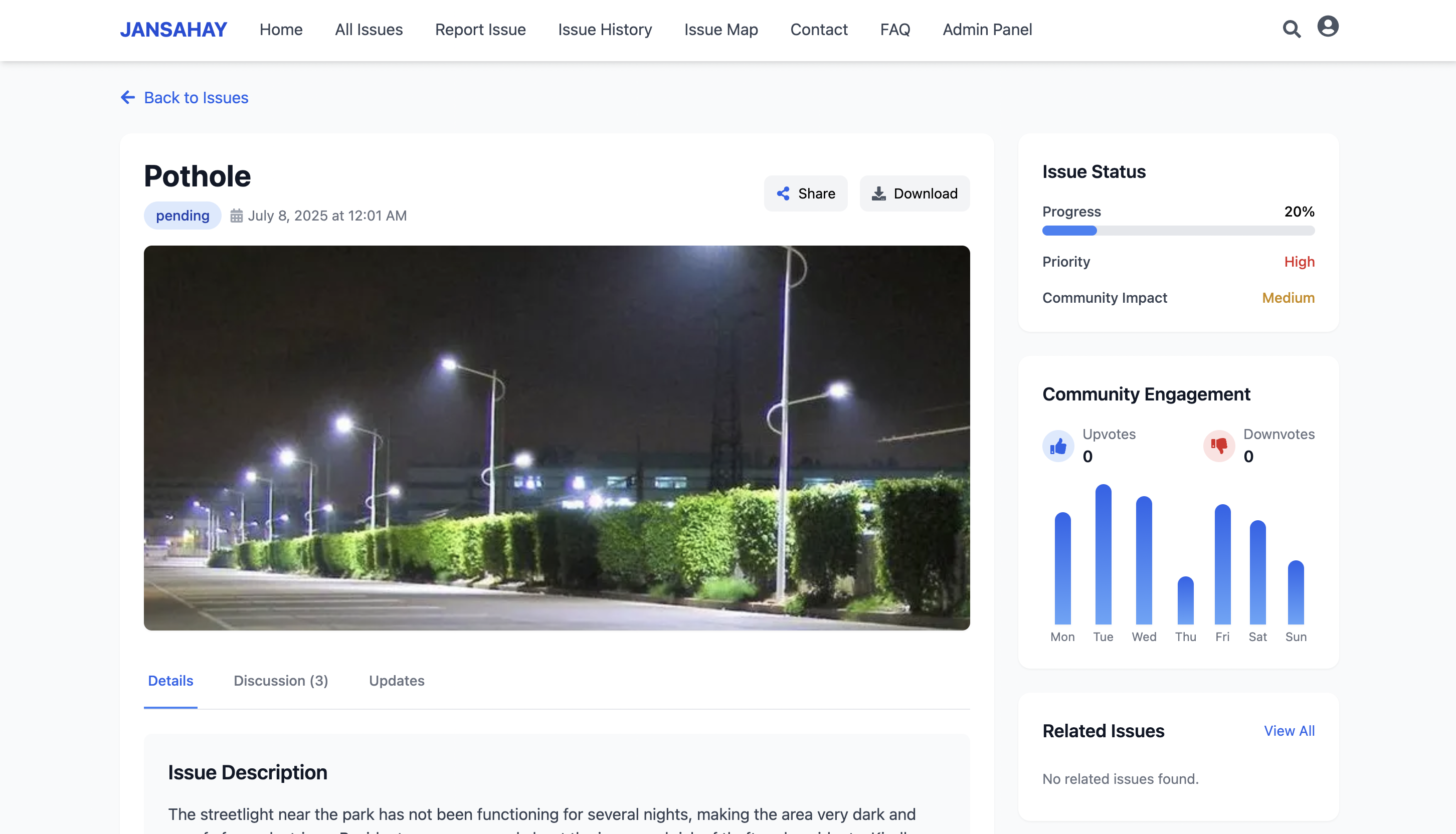
Report with map tracking
-
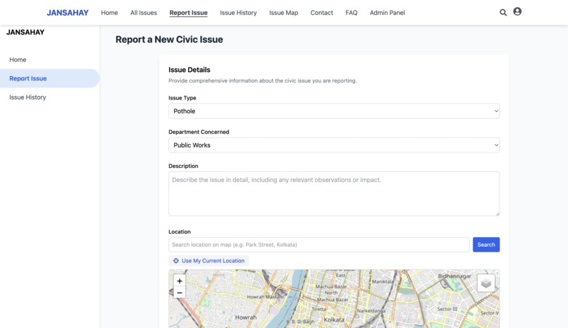
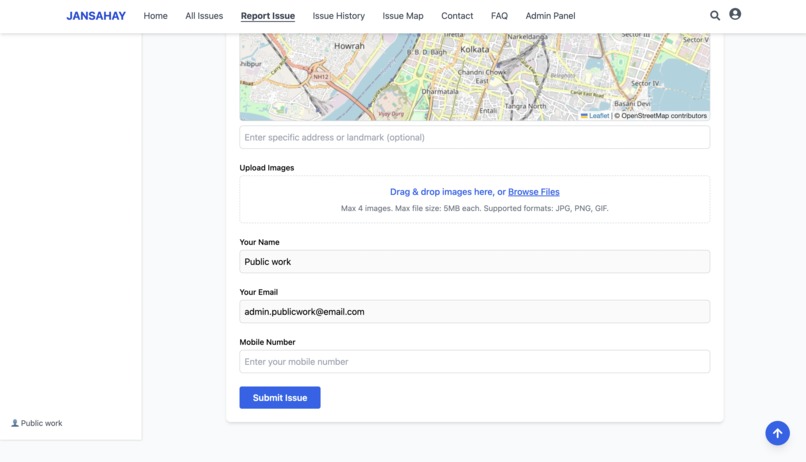
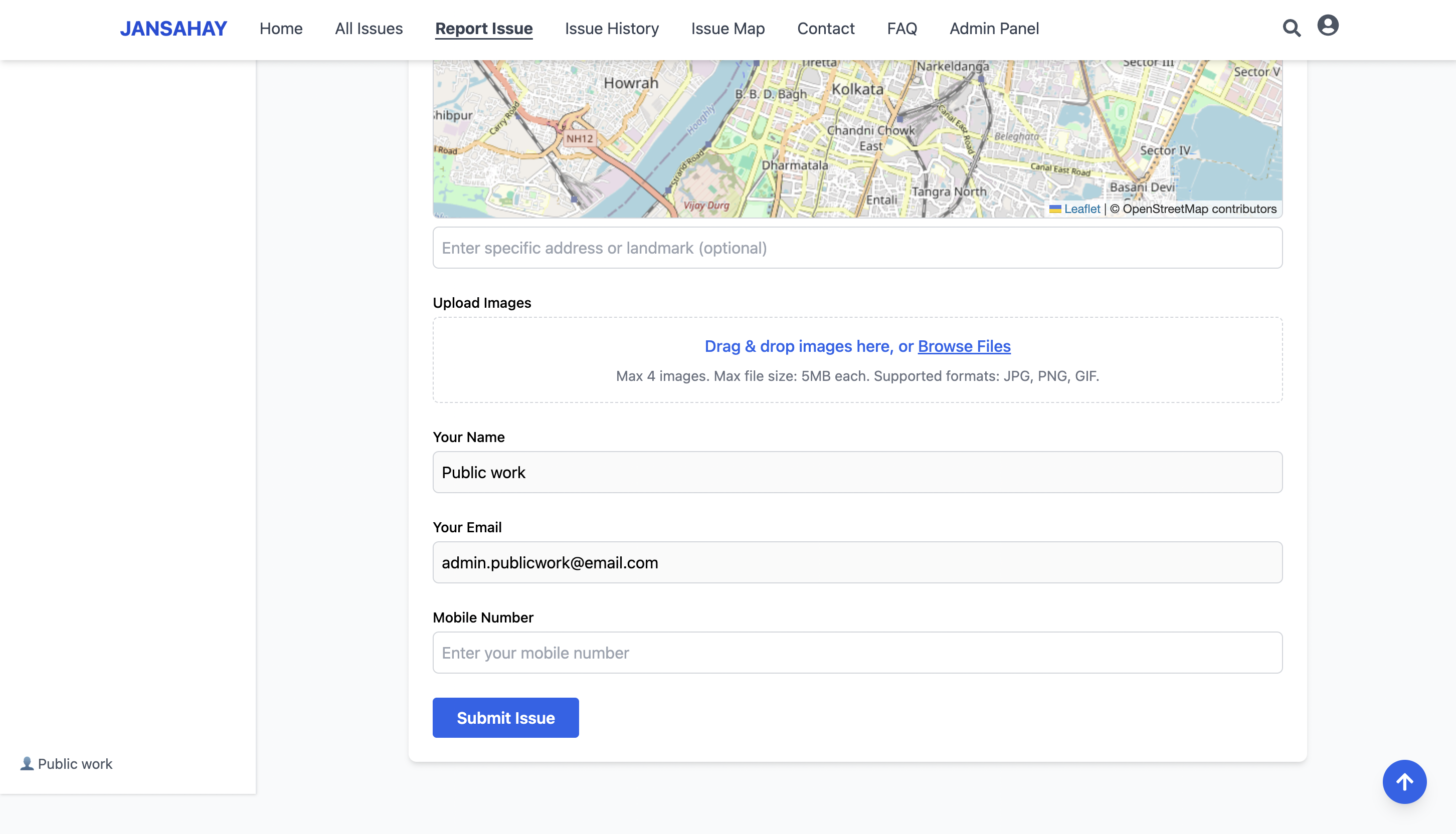
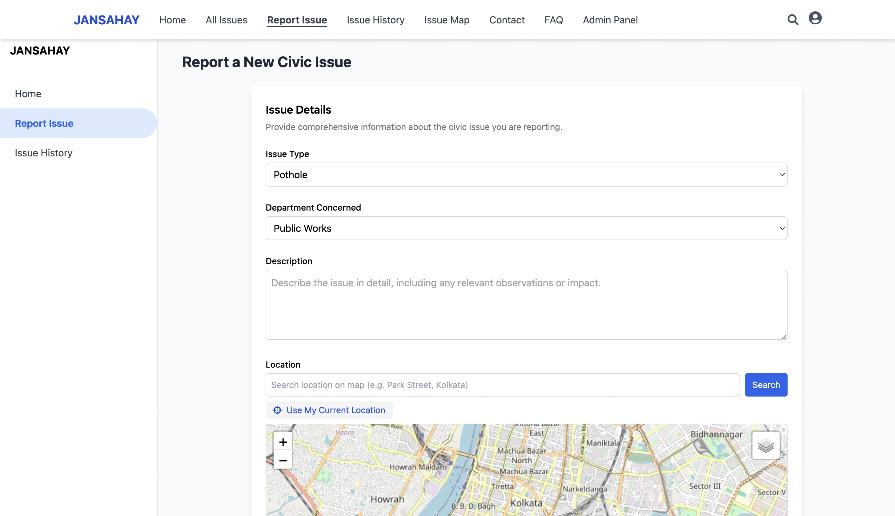
Report an issue
-
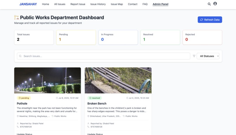
Admin panel with AI Agent
-
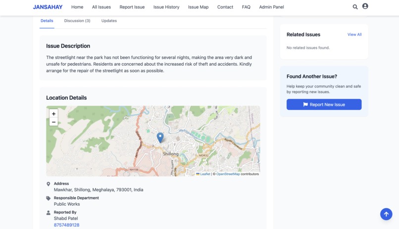
Adress and map details
-
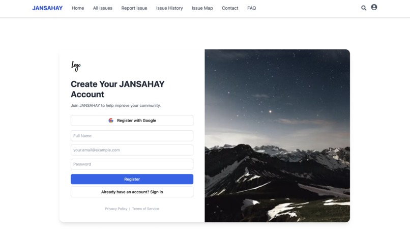
Register
-

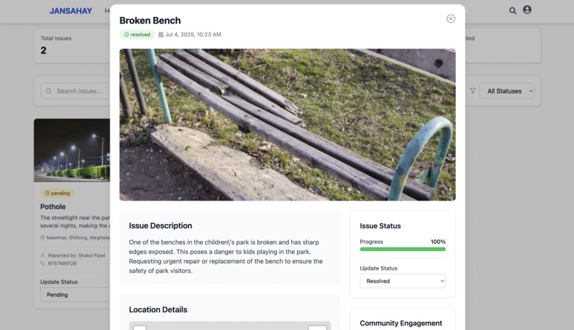
Issues details
-

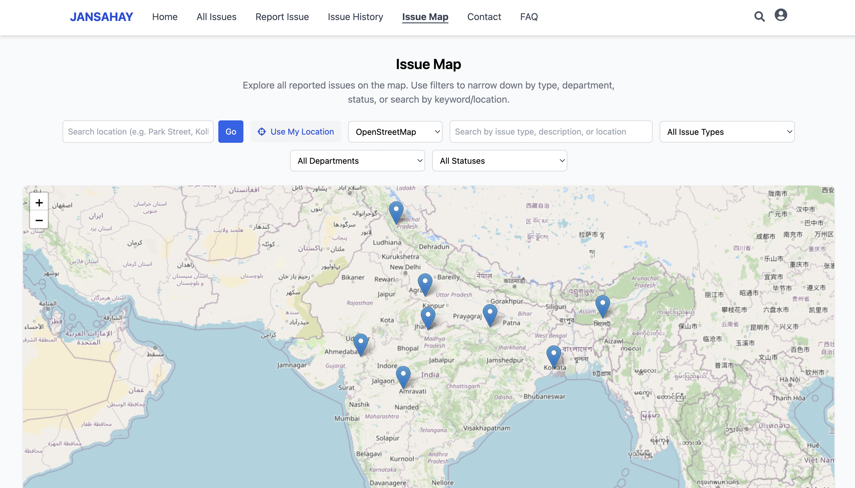
Issues map of different location
-
Update issue status from admin panel
-
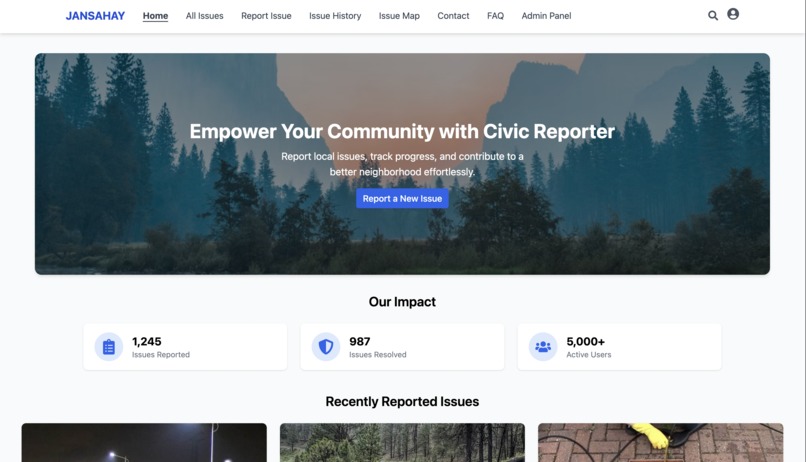
Homepage
-
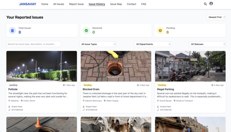
Issues created by users logined
-
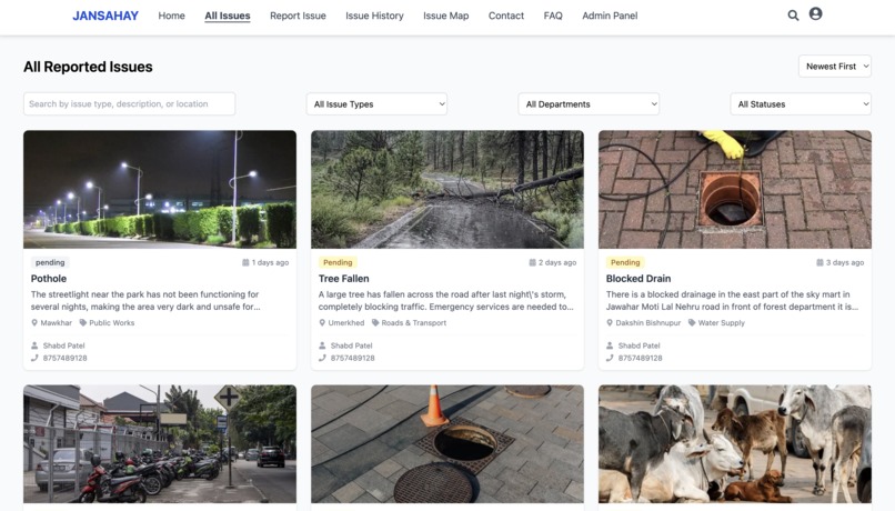
All issues
-
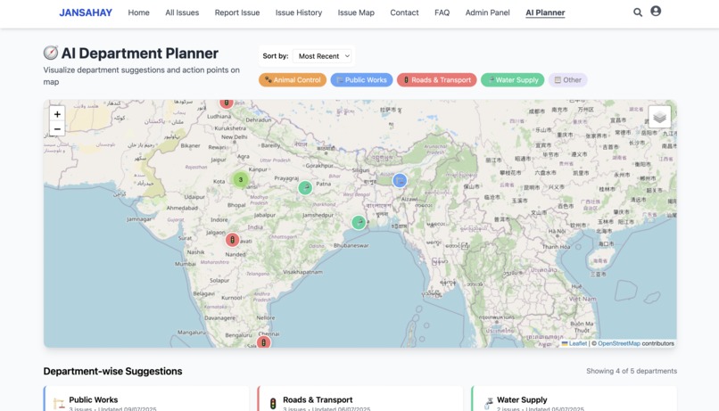
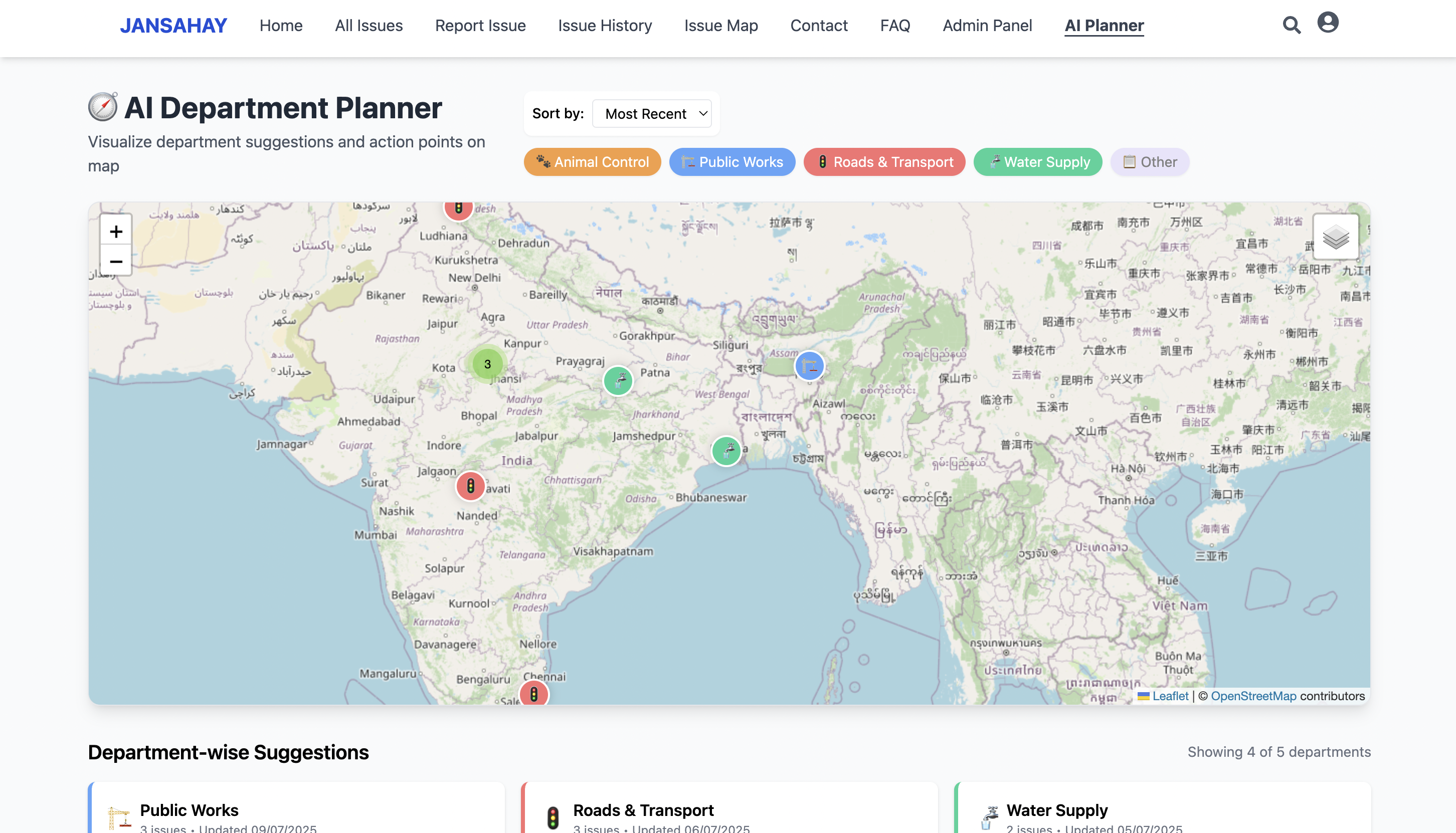
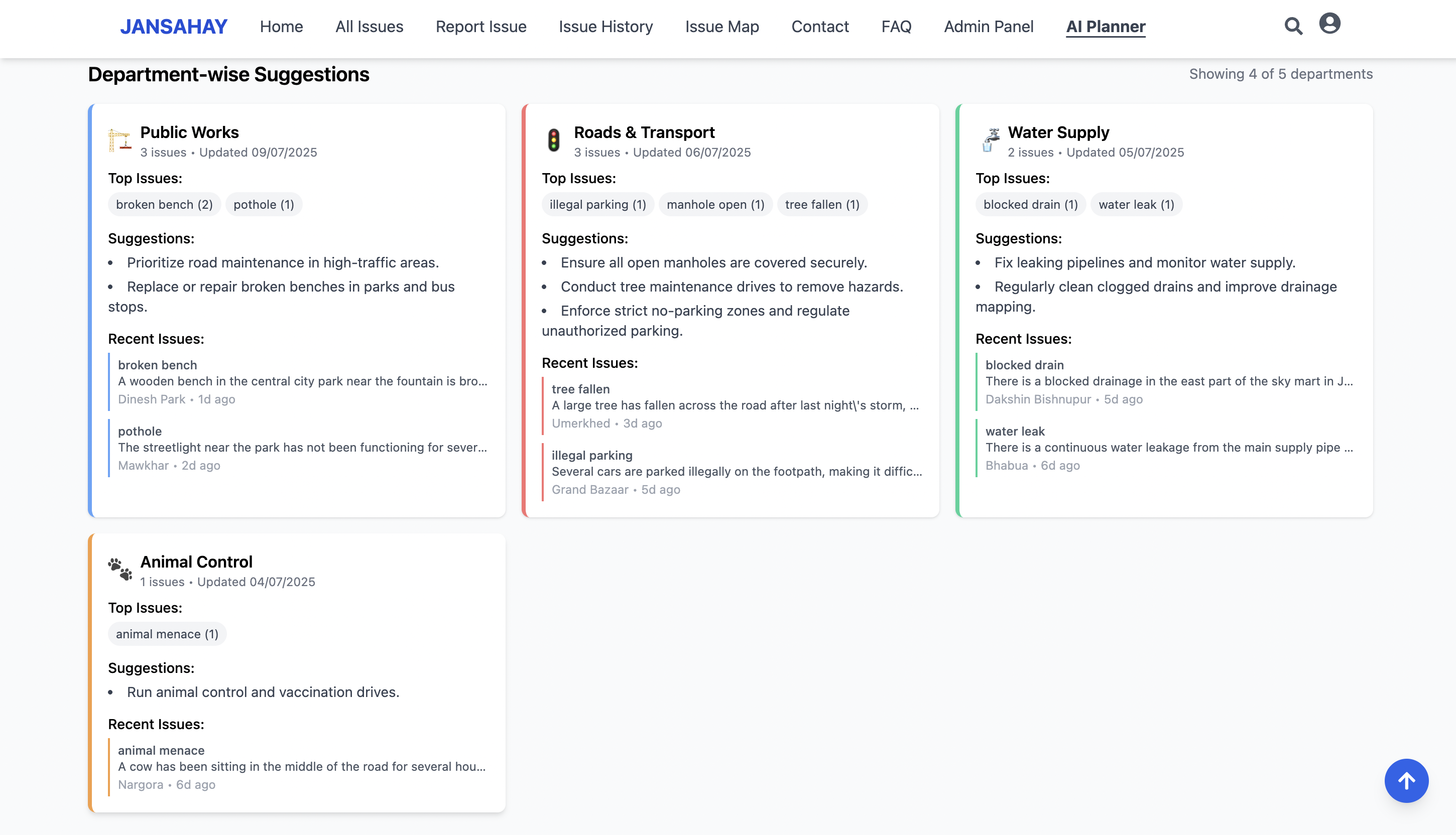
AI suggesttion based on the issue on map
-
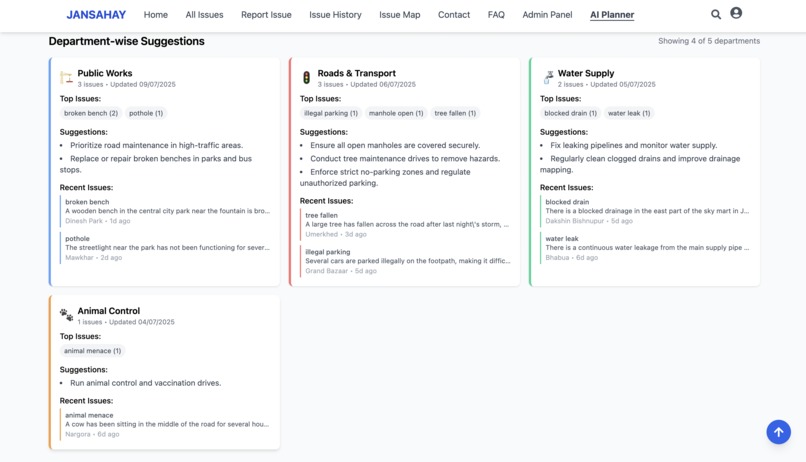
Ai suggestion on the issue


🏙️ Jansahay – Smart Civic Issue Reporting & Analytics Platform
🚀 Inspiration
In every Indian city, we’ve all seen overflowing garbage bins, potholes, broken streetlights, or water leakage left unaddressed for weeks — not due to lack of manpower, but due to the absence of a streamlined, accountable system.
We asked ourselves:
“What if reporting civic problems was as easy as ordering food?”
This led to the birth of Jansahay — a smart city civic issue reporting and analytics platform. Our mission is simple:
- 🧍♂️ Empower citizens to report local problems with ease
- ⚙️ Help municipal departments respond faster and smarter
- 📊 Enable city leaders to make data-driven civic decisions
🛠️ How We Built It
We structured the project into 4 key pillars:
1. 🖥️ Frontend – Built with React + Tailwind CSS
- Mobile-first, responsive UI
Form to report issues with:
- Category, department, description
- Location selection (via map)
- Image upload (with type & size validation)
Dynamic form states and progress handling
Clean design powered by Tailwind utility classes
2. 🔧 Backend – Powered by Firebase
- Firebase Authentication: Login for both users and department admins
- Cloud Firestore: Real-time database to store issues and metadata
- Firebase Storage: Secure and fast image upload system
- Role-based Access: Admins get advanced dashboards and controls
3. 🌍 Mapping + Geolocation
- Leaflet.js integration: Drag-and-drop pin for selecting exact issue location
- Reverse Geocoding: Auto-fetch landmark/area from lat-long
- Location stored with timestamp, latitude, and longitude for future insights
4. 🛡️ Admin Dashboard
- Secure login-only panel for department officials
Features include:
- View all submitted issues (table and card views)
- Filter by department, date, status, or urgency
- Resolve, escalate, or comment on issues
- View weekly AI insights directly inside dashboard
✅ Admin Login Demo:
Email: admin.publicwork@email.com
Password: Shabd8757#
🤖 AI Engine – “City Sentience Agent”
To bring intelligence to civic planning, we built a weekly AI Insights Engine using Python and unsupervised ML (DBSCAN).
🔍 What It Does:
- Detects geographical hotspots of unresolved issues
- Identifies departments with performance gaps
- Flags urgent locations (e.g., sewage near schools, potholes near highways)
Suggests actions like:
- “Repair manholes in Ward 7”
- “Increase streetlight inspections in Zone C”
- “Assign more workers to Public Works this week”
📤 Output
All insights are exported to a clean weekly_insights.json file and consumed by the admin dashboard for planning.
Example structure:
{
  "hotspots": [...],
  "high_priority_zones": [...],
  "pending_by_department": {...},
  "recommended_actions": [...]
}
🧠 Future AI Plans:
- Predict issue category based on description/image
- Auto-prioritize issues on submission
- Compare department responsiveness over time
📚 What We Learned
- Deep integration of Firebase services (Auth, Firestore, Storage)
- Efficient handling of maps and geolocation data
- Running and applying AI/ML clustering to real-world urban data
- Creating clean, scalable NoSQL schemas
- Balancing tech usability for both citizens and government users
⚙️ Challenges Faced
- Handling Firebase rules and role-based auth for two different user types
- Ensuring stable map pin & reverse geocoding on slow networks
- Managing image uploads with validation, retries, and feedback
- Designing AI outputs that are readable and useful for non-tech admins
- Optimizing Firestore queries for large-scale filtering and analytics
🔮 What’s Next?
We’re working on taking Jansahay even further with:
- 📈 Power BI Dashboards – Live maps, charts, and departmental KPIs
- 📱 Mobile App – Android/iOS app with offline-first reporting
- 🔔 Real-time Alerts – Notify departments when complaint volume surges
- 🤝 Government Pilots – Test with a municipality or university campus
- 🧠 AI v2 – Use deep learning to extract intent, classify urgency, and auto-route issues
👥 Team
🧑💻 Shabd Patel
- Full-stack dev, Firebase integration, geolocation system, AI agent backend
🎨 Nancy
- UX/UI Design, frontend polishing, dashboard layout, user research and feedback cycles
🗂️ Tech Stack
| Area | Stack |
|---|---|
| Frontend | React, Tailwind CSS, Leaflet.js, React Router |
| Backend | Firebase Auth, Firestore, Firebase Storage |
| AI/Insights | Python, pandas, scikit-learn (DBSCAN), JSON Export |
| Dev Tools | Vite, GitHub, Netlify (hosting), Figma (UI design) |
🔗 GitHub Repository
👉 Jansahay GitHub Repo https://github.com/shabdpatel/JANSAHAY
📸 Snapshots
| Report Form | Admin Dashboard | AI JSON |
|---|---|---|
./screenshots/report_issue_form.png |
./screenshots/admin_dashboard.png |
./screenshots/weekly_insights_json.png |
🏁 Conclusion
Jansahay is not just a tech project — it’s a vision for responsive governance.
With the power of AI, maps, and accessible design, we believe digital civic tech like this can transform urban India.
Our hope is that platforms like Jansahay can bridge the gap between frustrated citizens and overloaded departments, creating a more transparent and accountable system for all.
Let me know if you'd like this converted into a file or presentation!


Log in or sign up for Devpost to join the conversation.